Trail Overview
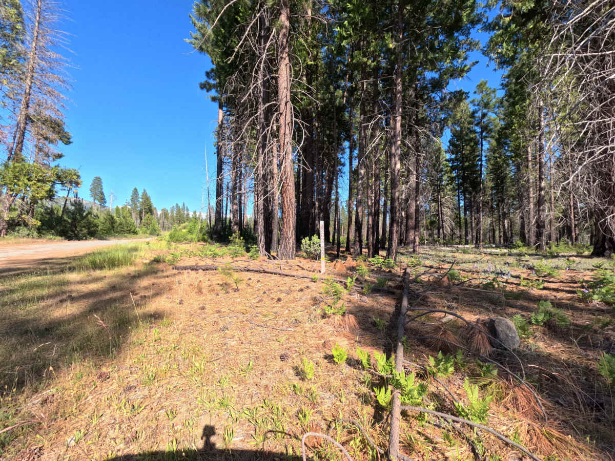
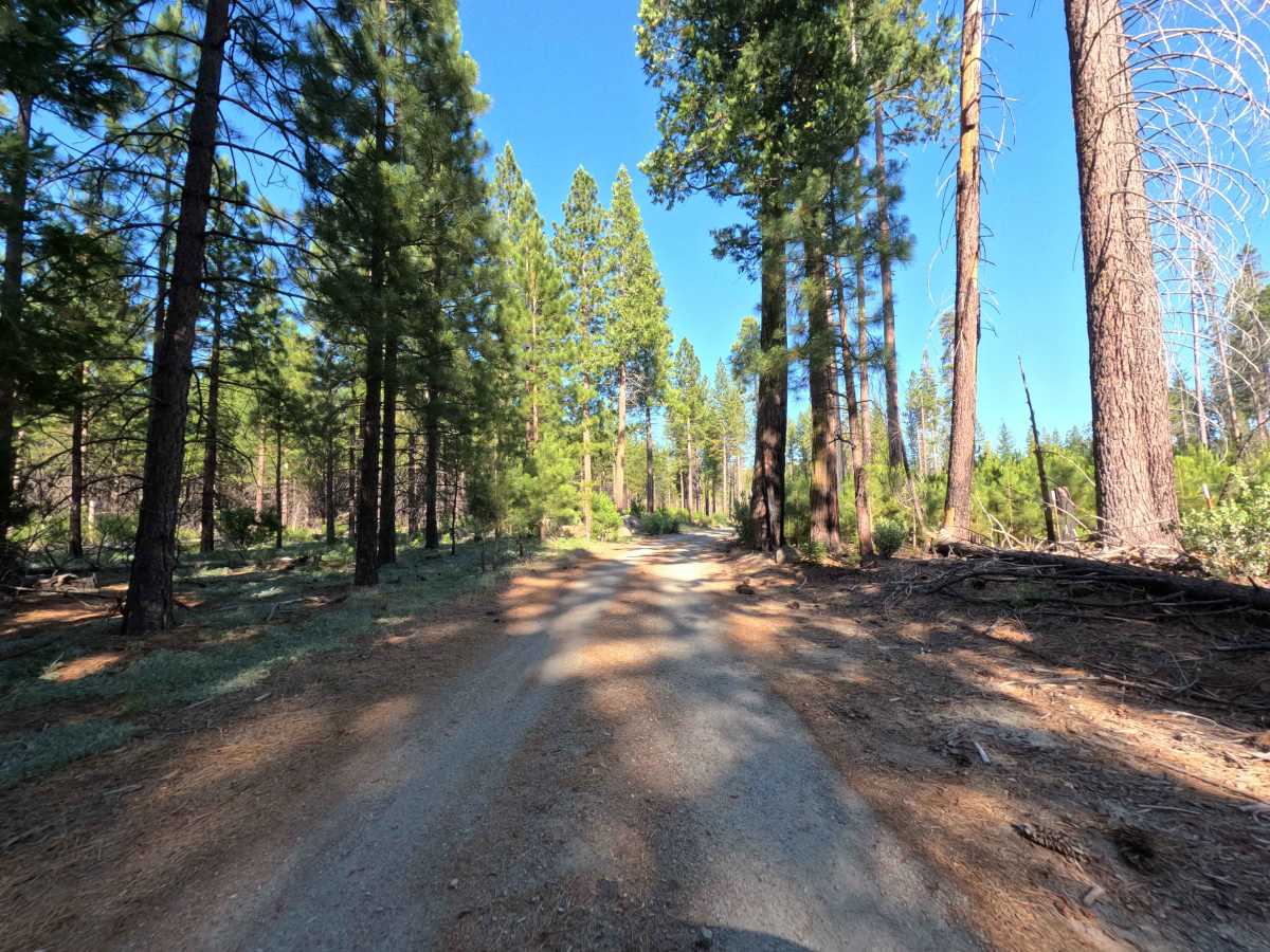
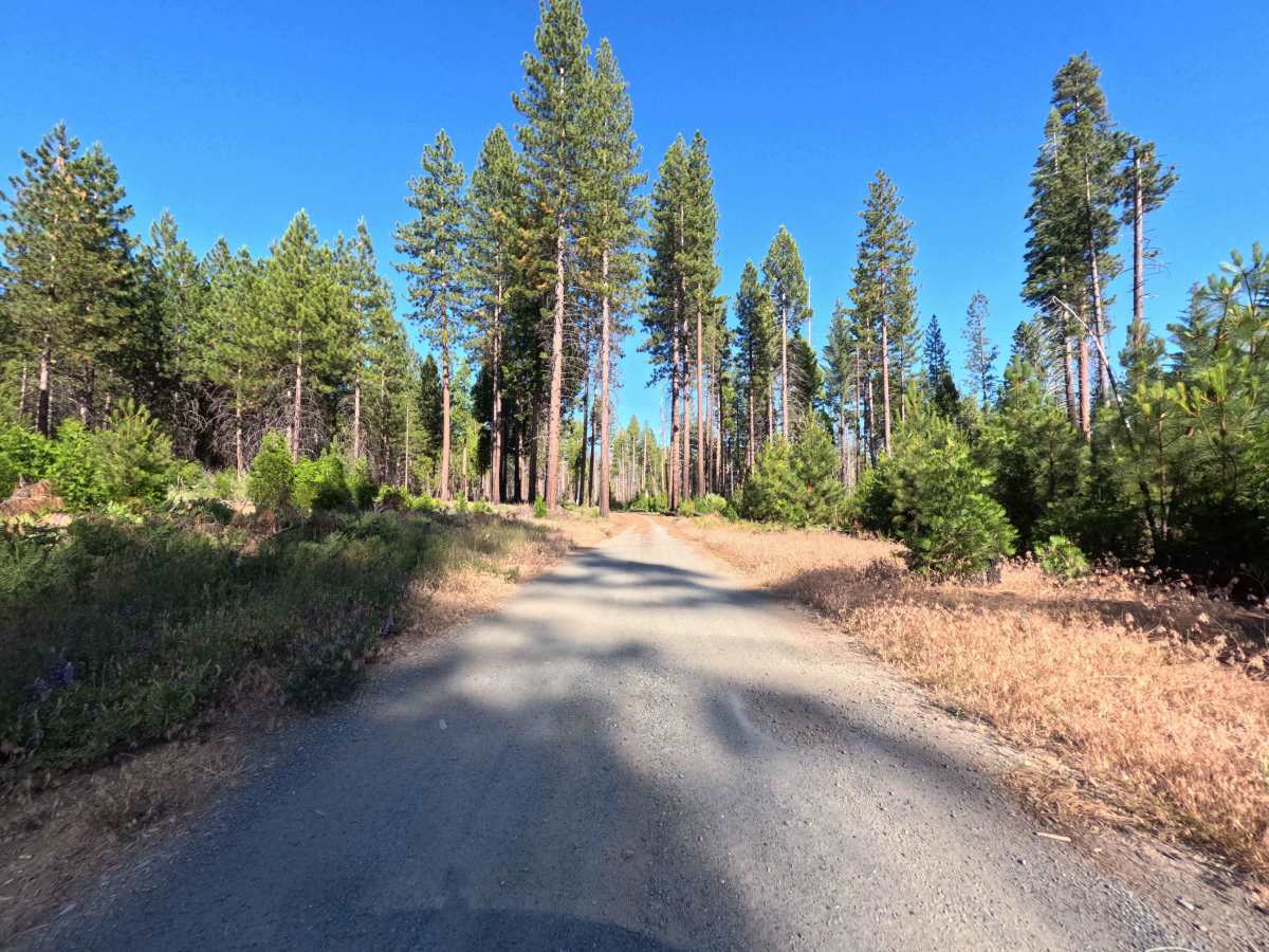
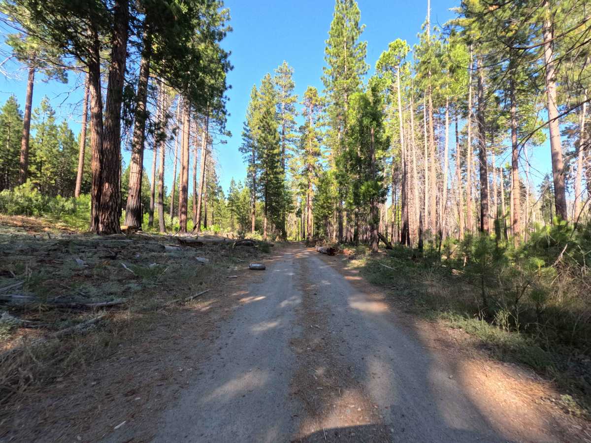
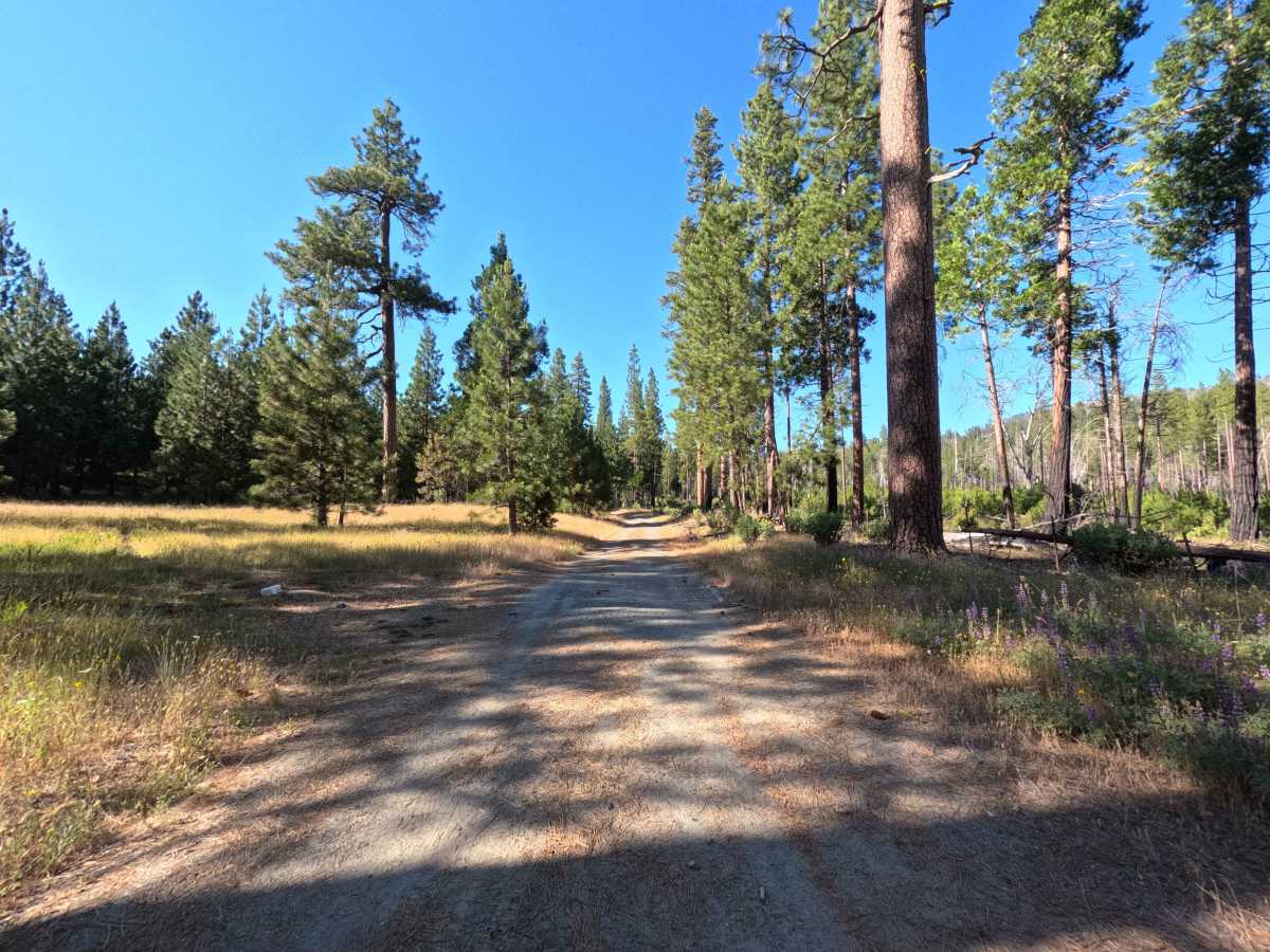
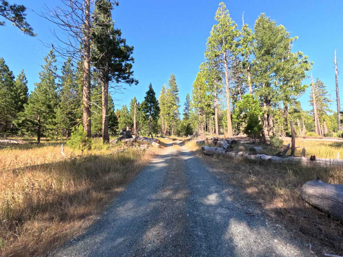
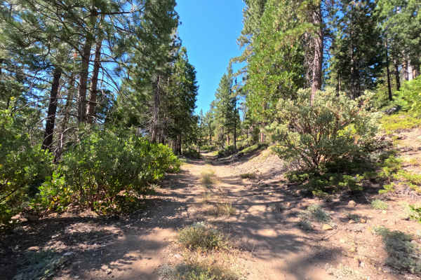
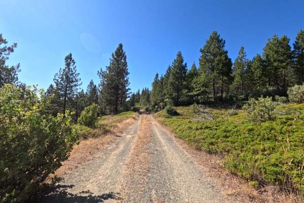
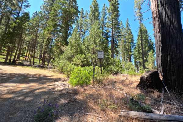
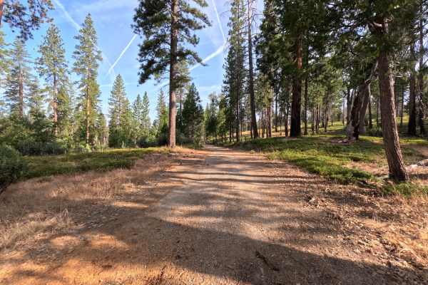
Set within an open, scenic coniferous forest managed by the Stanislaus National Forest near the western boundary of Yosemite National Park, FS 1S25 climbs steadily up toward an elevation near 5,000 feet. Accessed directly from Evergreen Road, this inviting route serves as a main connector to numerous high-elevation spurs. Public forest visitors primarily utilize this peaceful trail to enjoy quiet mountain drives, take in scenic meadow vistas, and explore remote backcountry forest corridors near the park line. The driving surface consists of a single- to double-wide dirt and gravel track earning a mild Grade 2 difficulty rating. Beginning as a wide, well-kept path, the trail offers a pleasant journey through towering pine groves and open meadow views. As the road climbs higher, it gradually deteriorates from a lack of regular maintenance and lighter vehicle traffic. The track abruptly terminates just past the FS 1S25F junction, where a cluster of uncleared fallen trees and thick overgrowth permanently block further vehicle travel, requiring a turnaround.
Difficulty
Earning a gentle Grade 2 difficulty rating, this single- to double-wide dirt and gravel forest road provides an accessible and stress-free mountain drive. The surface remains relatively smooth and firm along the lower section, presenting no steep technical obstacles, deep washouts, or large embedded boulders. As the climb progresses, the road becomes narrower and increasingly overgrown before being completely blocked by a group of fallen logs. Standard stock vehicles can easily navigate the route under dry summer and fall conditions by maintaining a steady pace and preparing to turn around at the fallen tree obstacle at the end.

 Offroad