Trail Overview
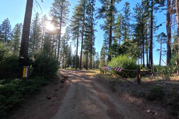
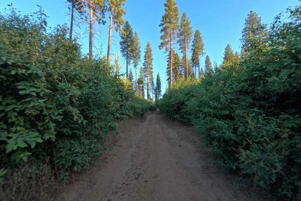
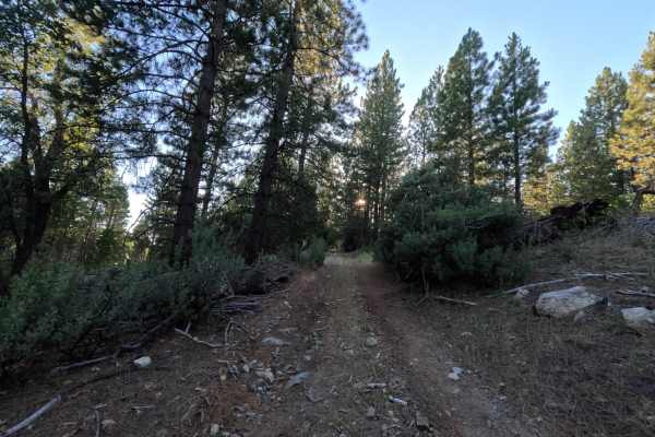
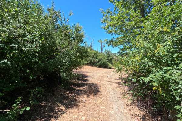
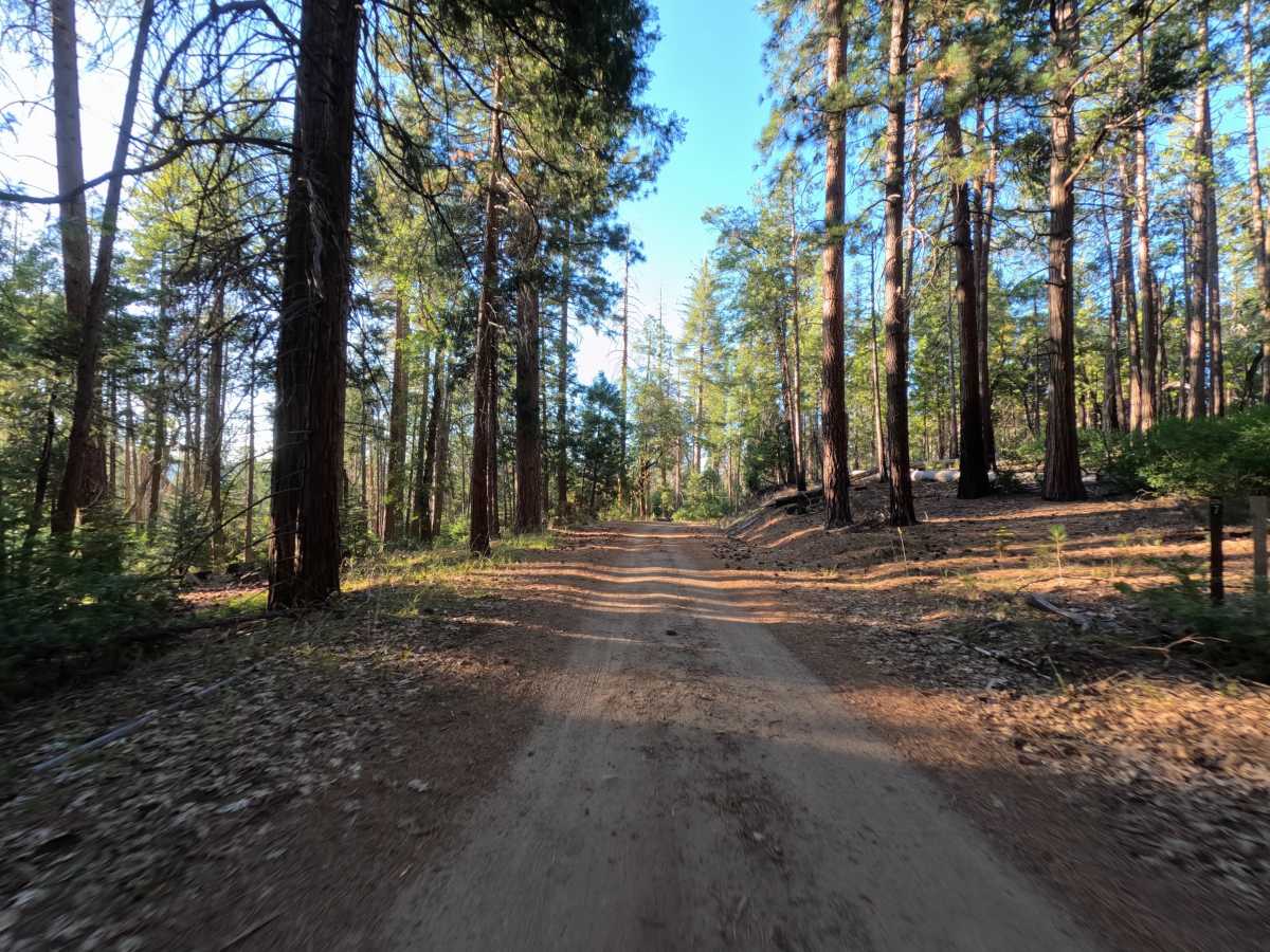
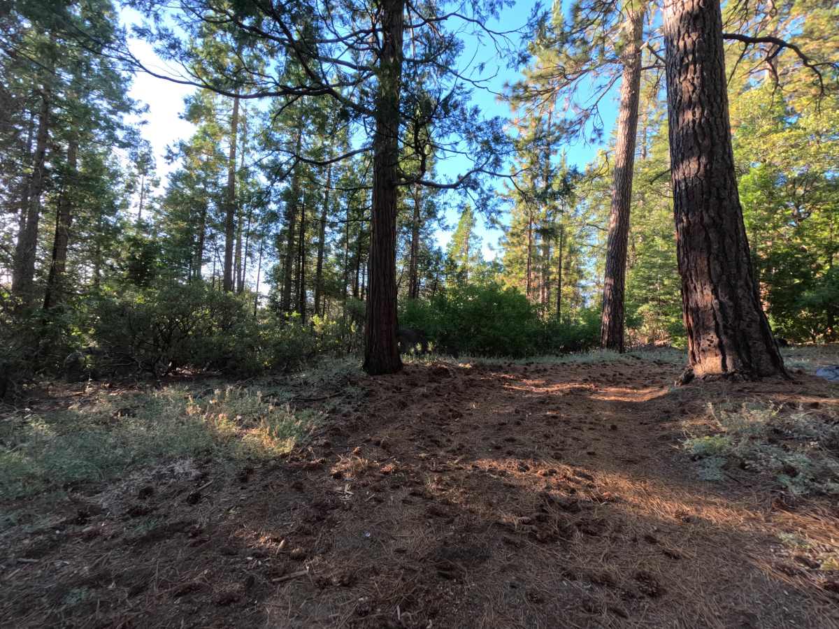
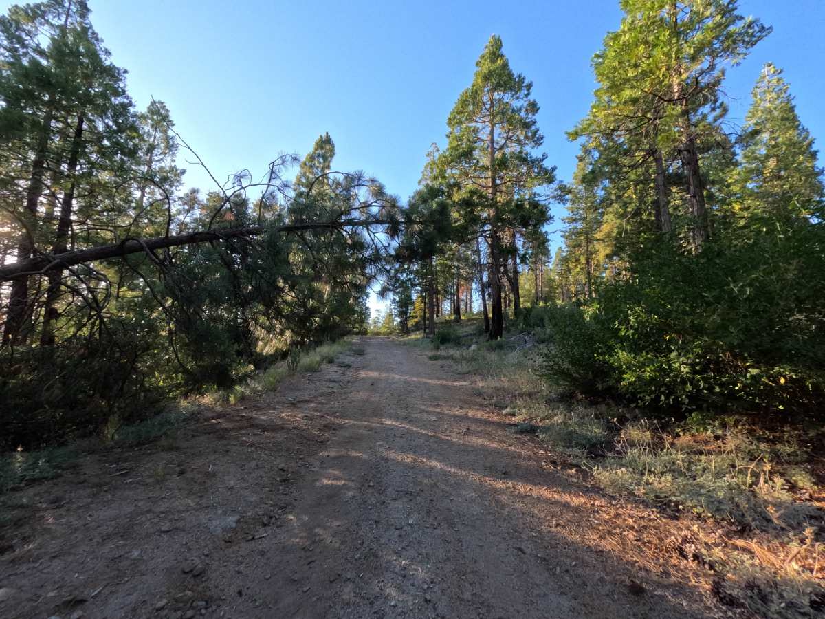
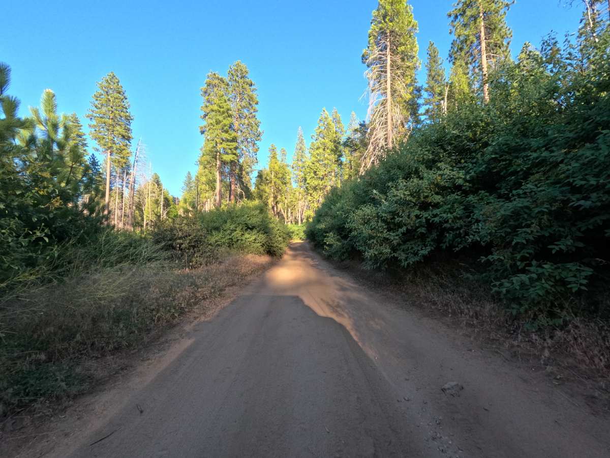
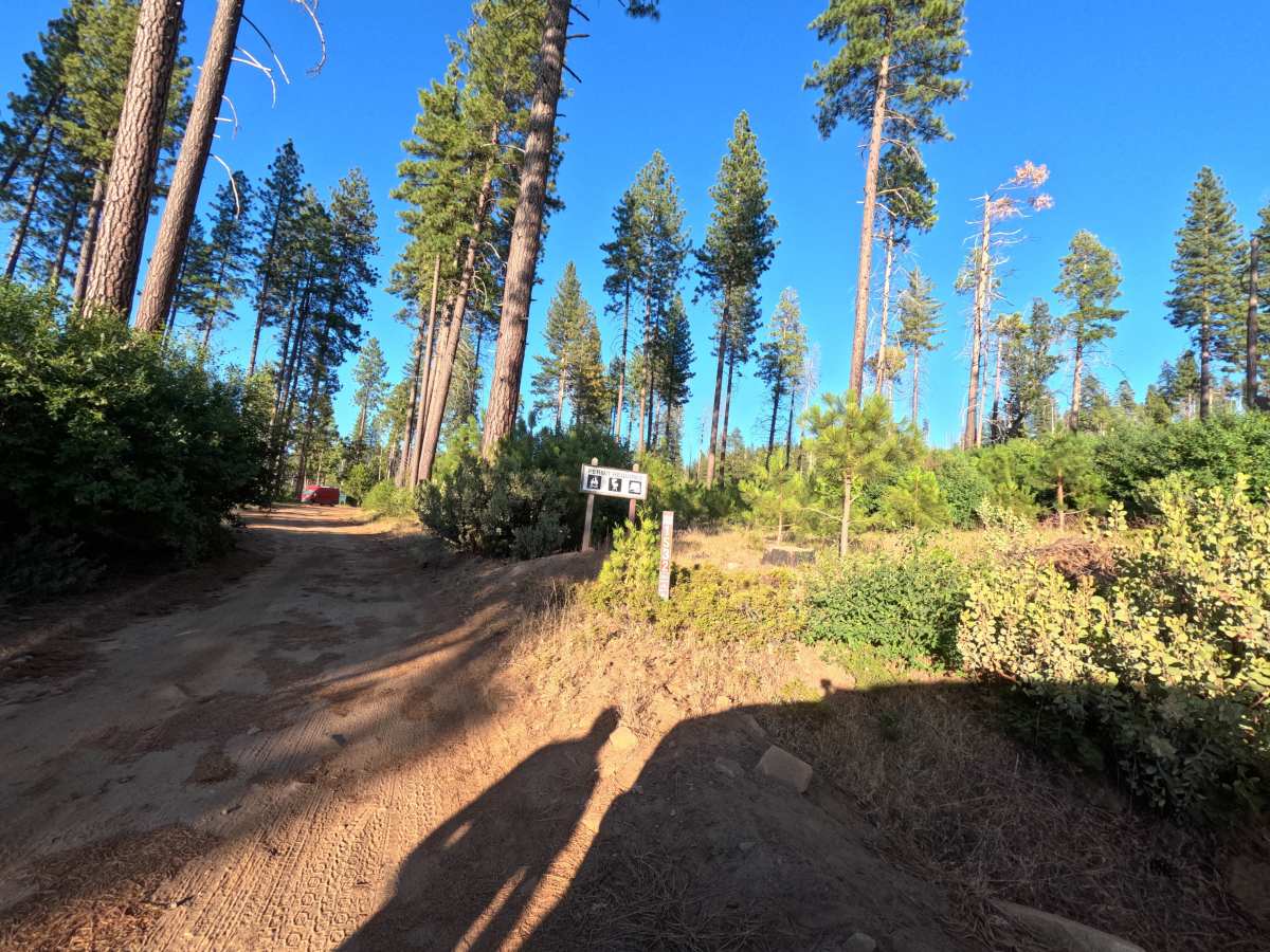
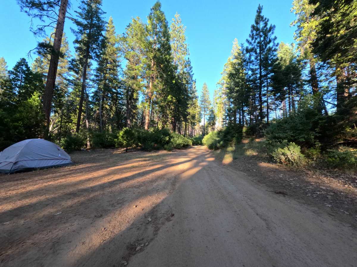
1S32 is accessed directly from the popular dispersed camping pull-out near the trailhead, where a handful of campers are often found right at the start. From there, the road narrows into a tight, brush-lined corridor, with low growth pressing in from both sides and leaving faint pinstriping on wider vehicles. Small ruts surface intermittently through this stretch, and a fallen log crosses the track partway along, calling for a careful line to ease over or work around. The surrounding terrain shifts between shaded stands of green pine and open, sun-bleached meadow marked by scattered standing snags, remnants of past fire activity in the area. There are no sweeping overlooks or open flats for camping along this middle stretch, just a steady corridor through the trees. Roughly two miles in, the road angles away from the main line and ends at a second, more isolated campsite, making a natural turnaround point. Brush growth peaks in late spring and early summer, so the tightest pinstriping should be expected during those months.
Difficulty
The surface holds up well throughout, with only minor ruts and no deep washouts, embedded rock, or off-camber sections to contend with. The two elements that increase complexity are the overgrown brush pressing into the corridor, which narrows the usable width and can contact the sides of a vehicle, and a single log crossing partway through that requires a deliberate line to clear cleanly. Neither obstacle carries a bypass-free difficulty spike on its own. Taking the pinch points at a slower, steady pace and keeping an eye on vehicle width is enough to move through comfortably.

 Offroad