Trail Overview
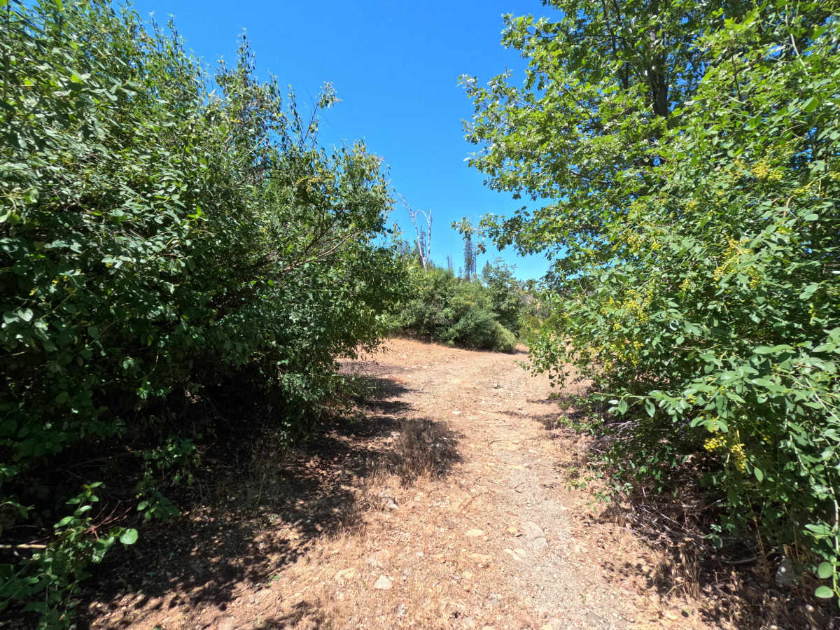
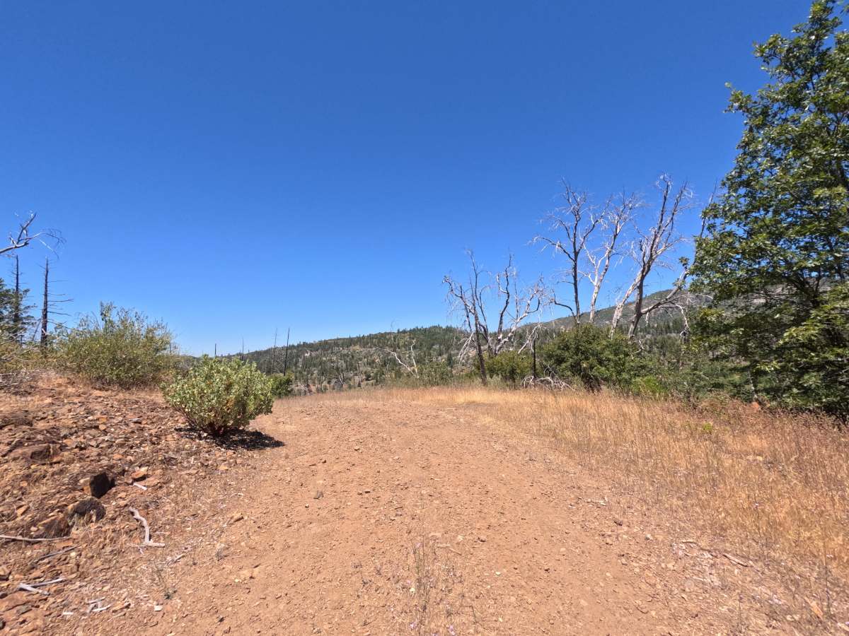
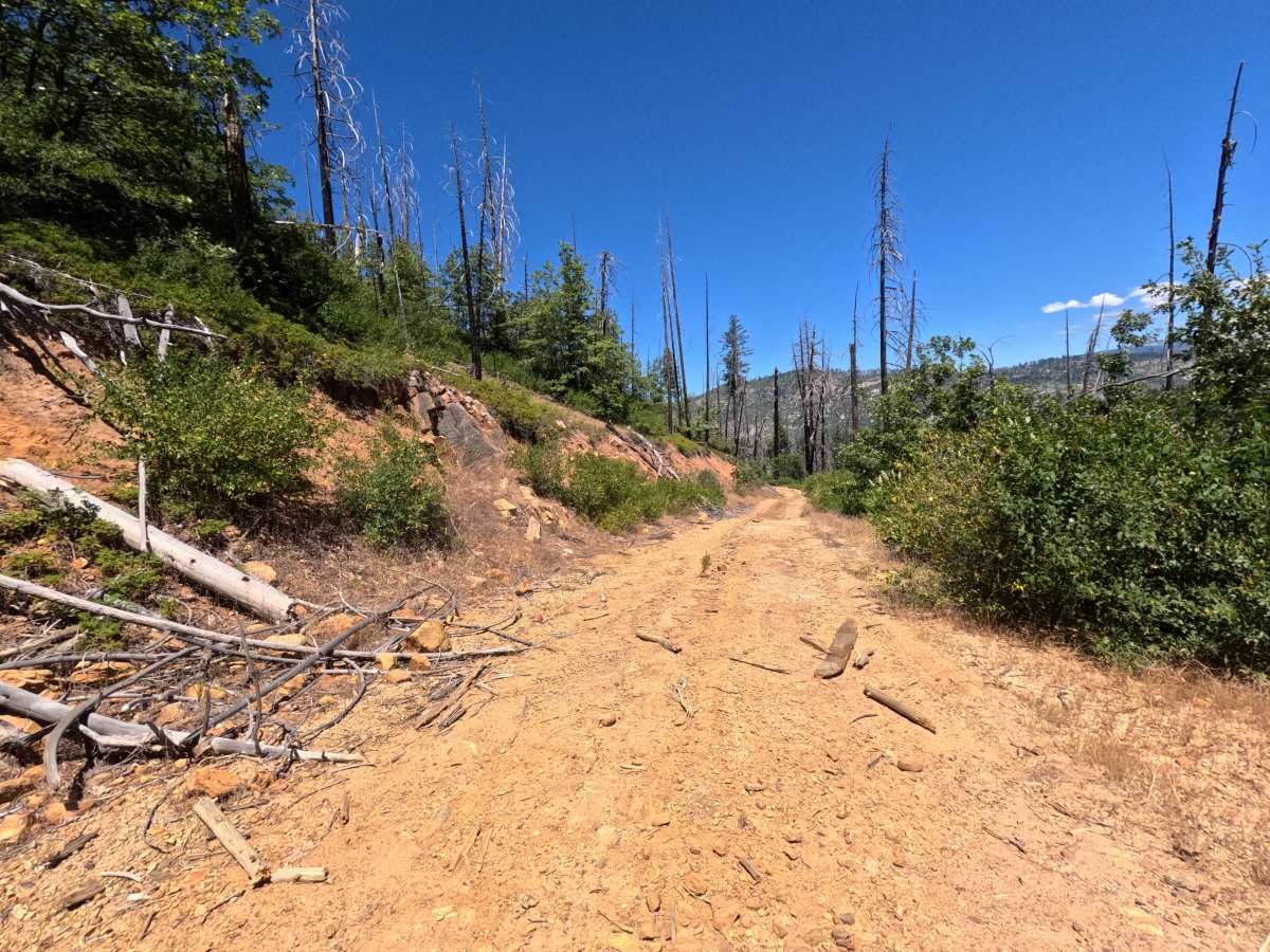
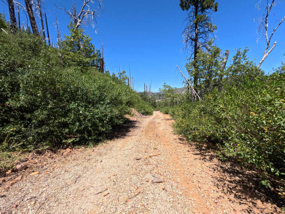
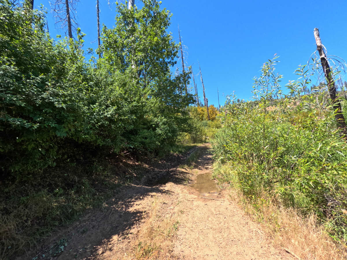
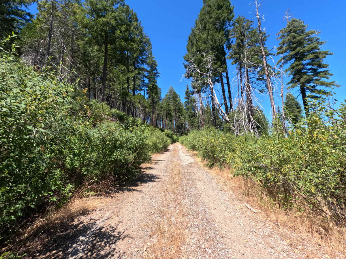
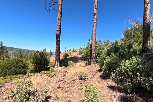
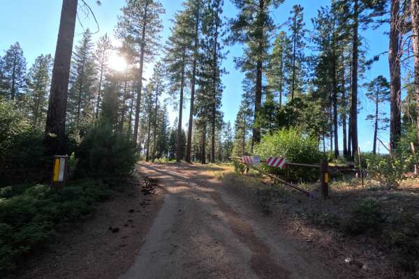
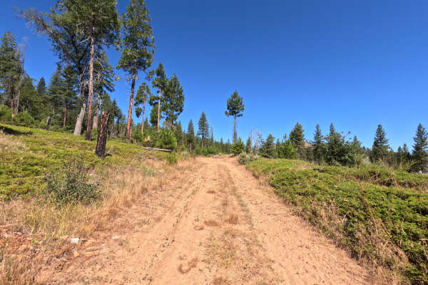
FS 1S60 continues from FS 1S36 as a single-track dirt trail. It climbs steadily for about a mile through brush that presses in close on both sides, then opens onto a dispersed campsite with wide views over the burned hillside. From there the trail turns downhill toward the Tuolumne River, growing narrower and rockier as it descends. It ends at another dispersed campsite with a fire ring, also a good spot to park for the day or overnight.
Difficulty
The climb up FS 1S60 is steady but manageable, with thick brush scraping both sides of the vehicle the whole way up. Past the first campsite, the trail turns rockier and narrower on the descent toward the river, calling for an all-wheel-drive vehicle to handle it comfortably. Nothing here is technical, just a narrow, brushy road with some loose rock on the way down.