Trail Overview
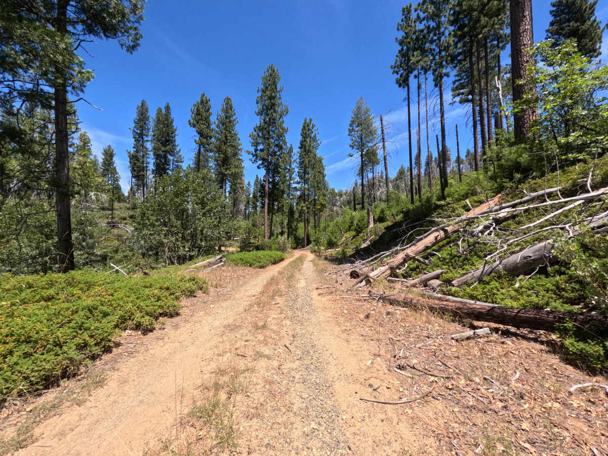
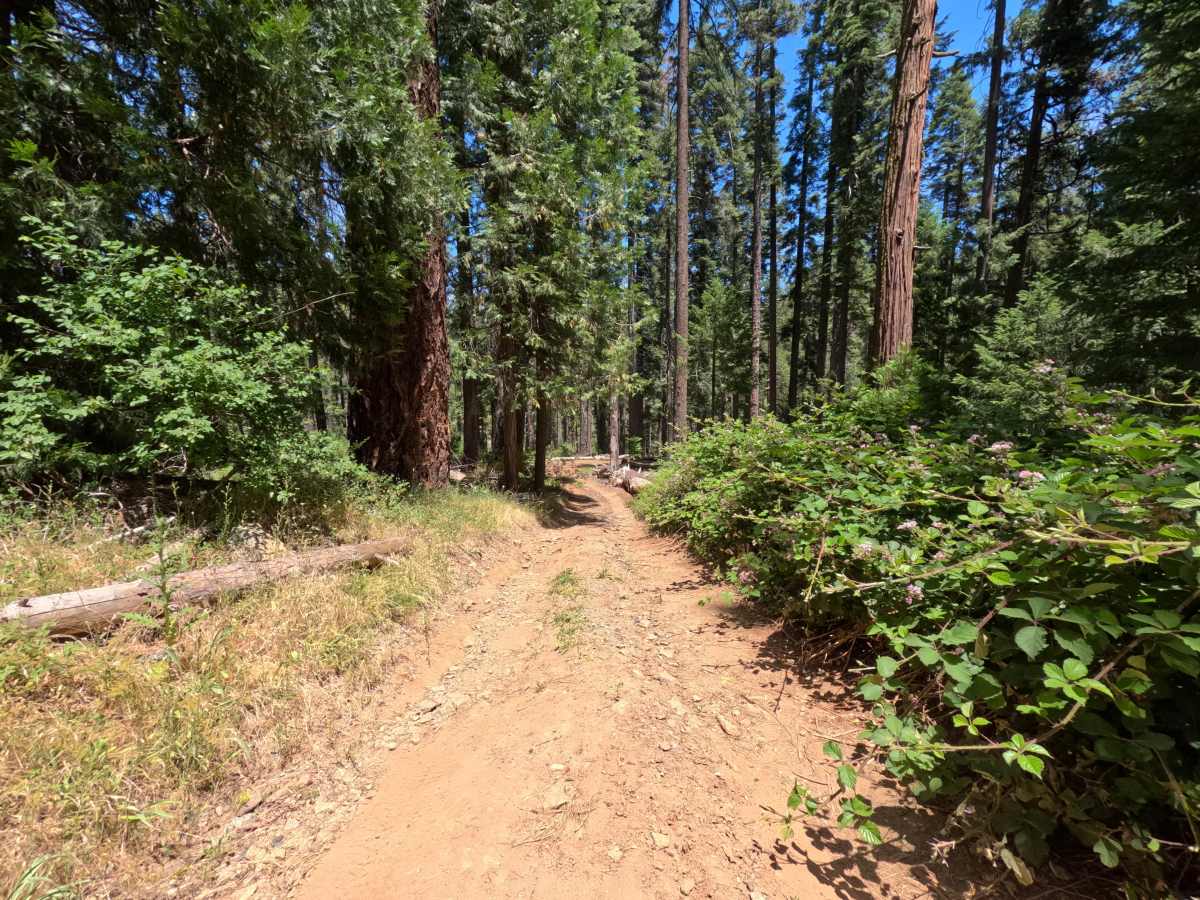
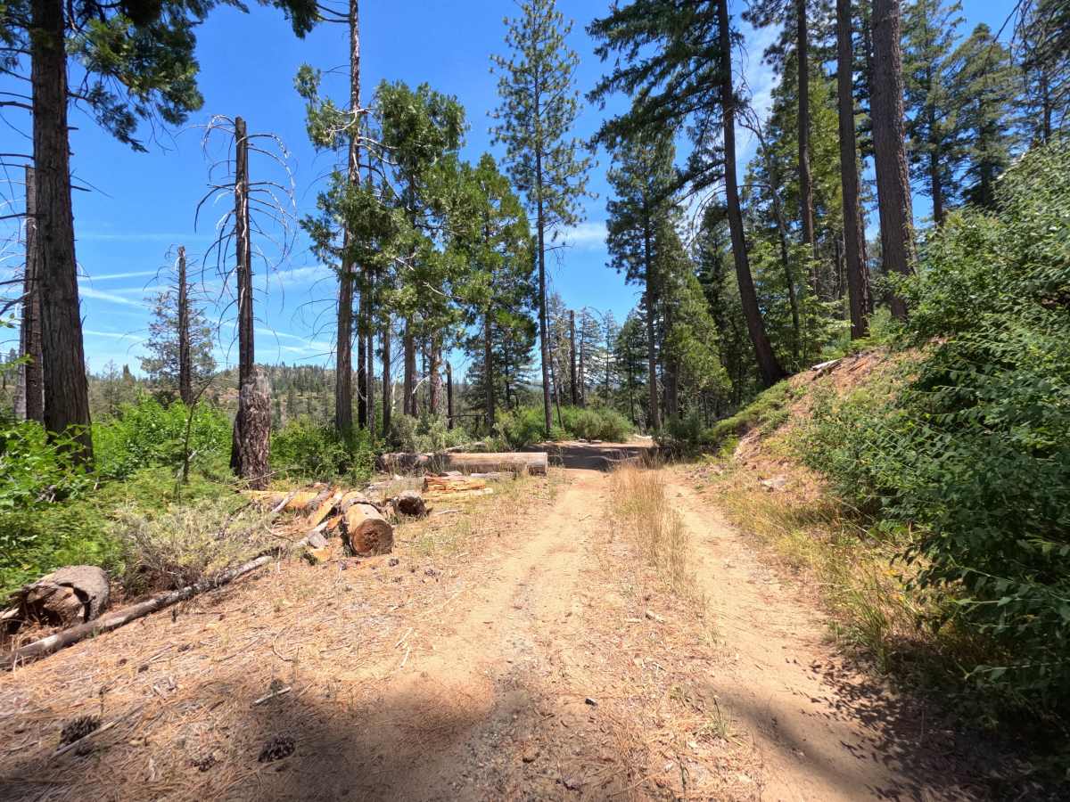
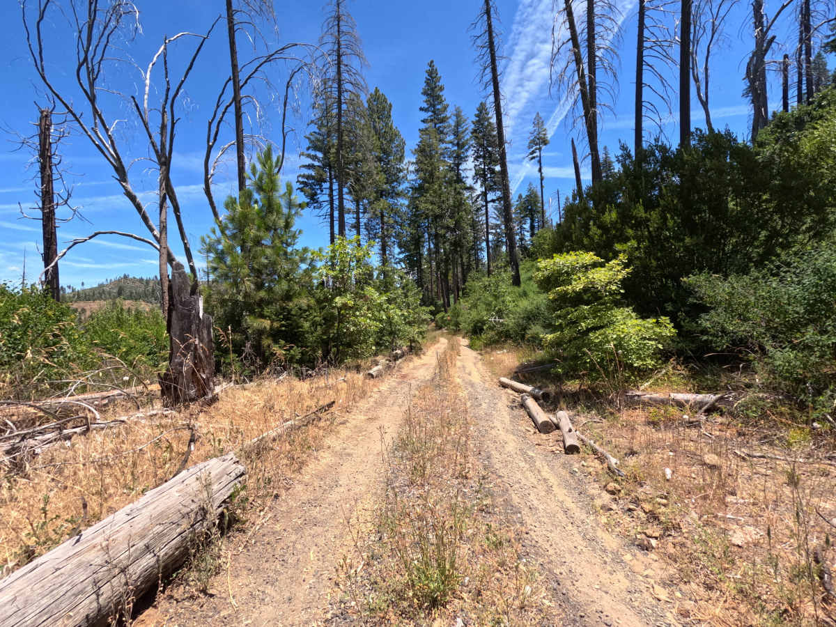
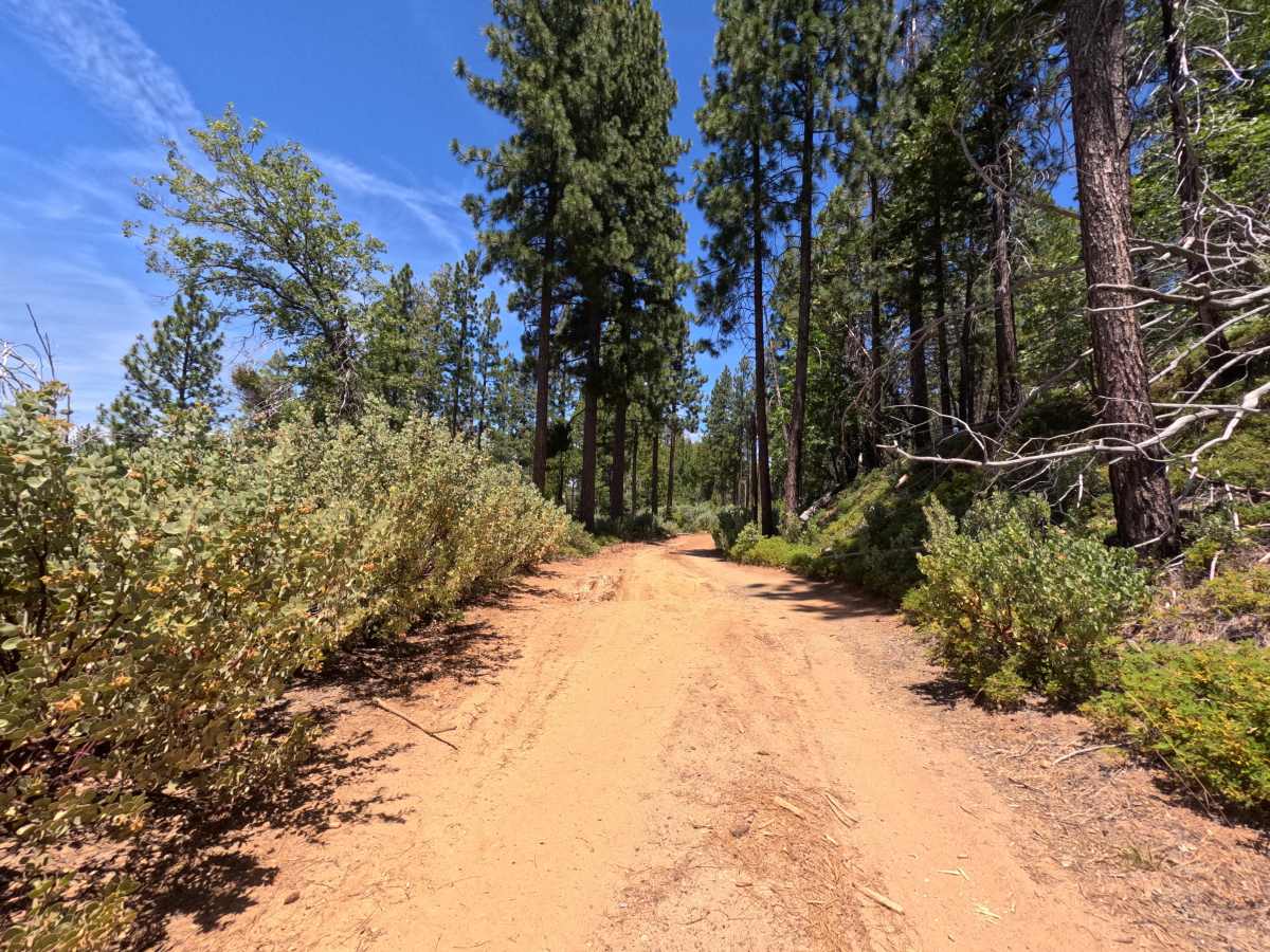
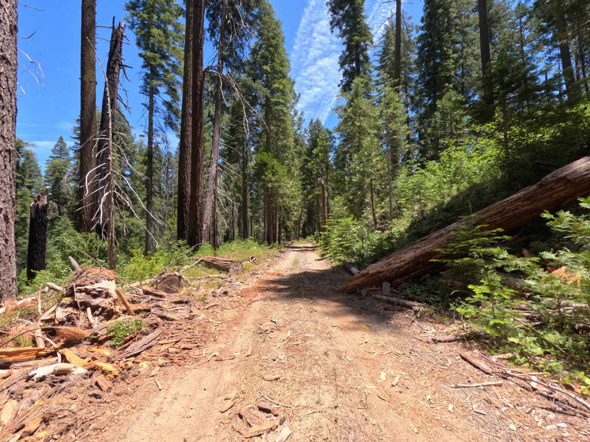
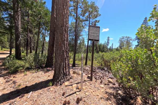
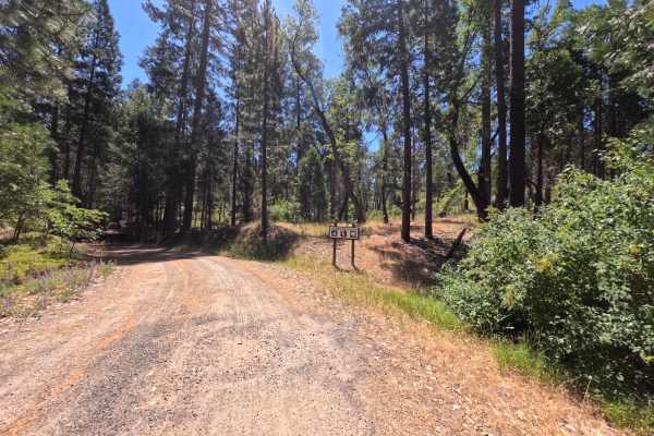
FS 1S16Y starts right off Highway 120 and runs as a single-lane out-and-back spur through dense, quiet forest, terminating at a multi-group campsite rather than connecting through to another route. There's no wide shoulder or passing room to speak of, just a narrow corridor pressed close by trees on both sides. The road sits in the Groveland Ranger District of Stanislaus National Forest, and while there's no obvious large-scale burn scar here, downed and cleared timber lines much of the route, suggesting recent storm or windfall activity rather than fire. The surface is a somewhat maintained single-lane dirt road, narrower and less groomed than the graded connectors nearby, with periodic ruts capable of pinstriping wider vehicles and two washed-out sections along steep drop-offs that call for a careful, unhurried pace. Near the end, a turnaround point offers a safe stopping spot for anyone not wanting to continue further; those who press on descend a short, steep pitch of loose rock and dirt requiring solid traction to climb back out. The payoff is a beautiful multi-group site with a short hiking trail leading straight down to the river, making the trail's tighter, more technical stretch worth the effort for the access it provides.
Difficulty
Most of the drive is a narrow, single-lane dirt road with only minor ruts and occasional pinstriping potential from encroaching brush, an easy pace for the majority of the distance. The route increases in difficulty at the final descent toward the group campsite, where a short but steep pitch of loose rock and dirt demands good traction, both going down and especially coming back up. The two washed-out sections with steep drop-offs earlier in the route are passable with caution for full-size vehicles but add to the overall attentiveness this trail requires. Nothing here pushes into more technical rock or ledge territory.