Trail Overview
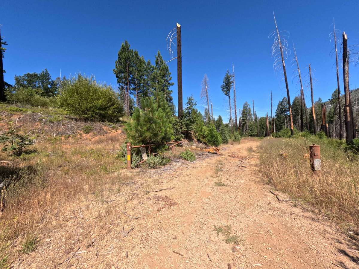
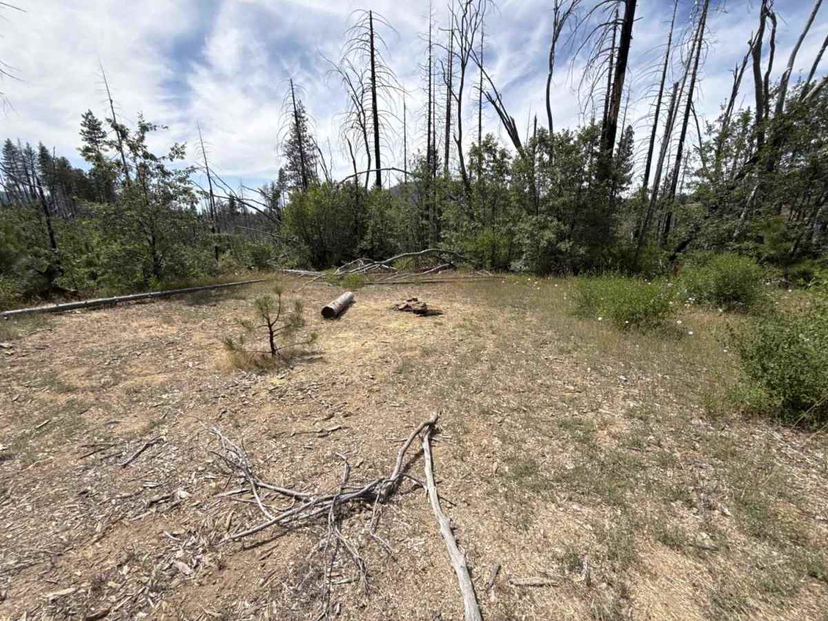
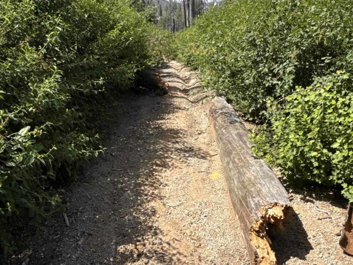
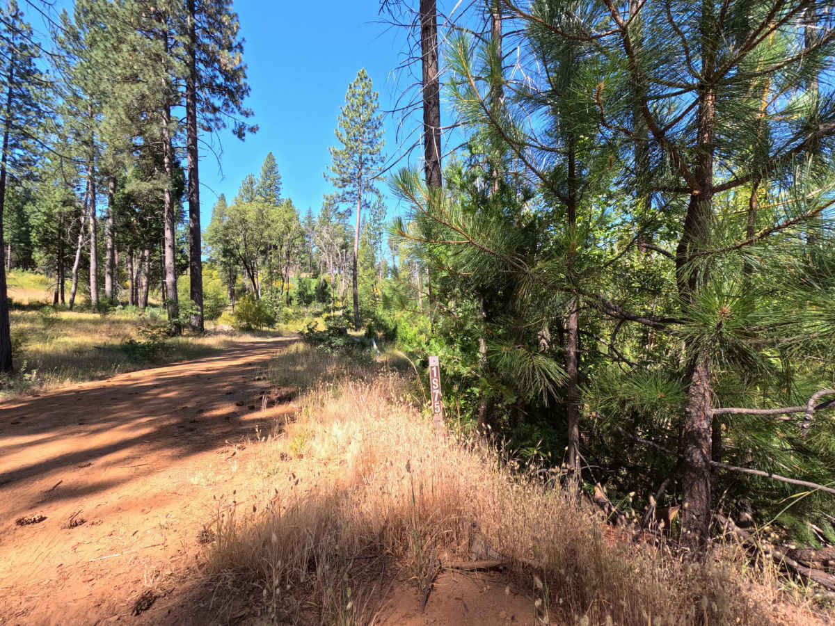
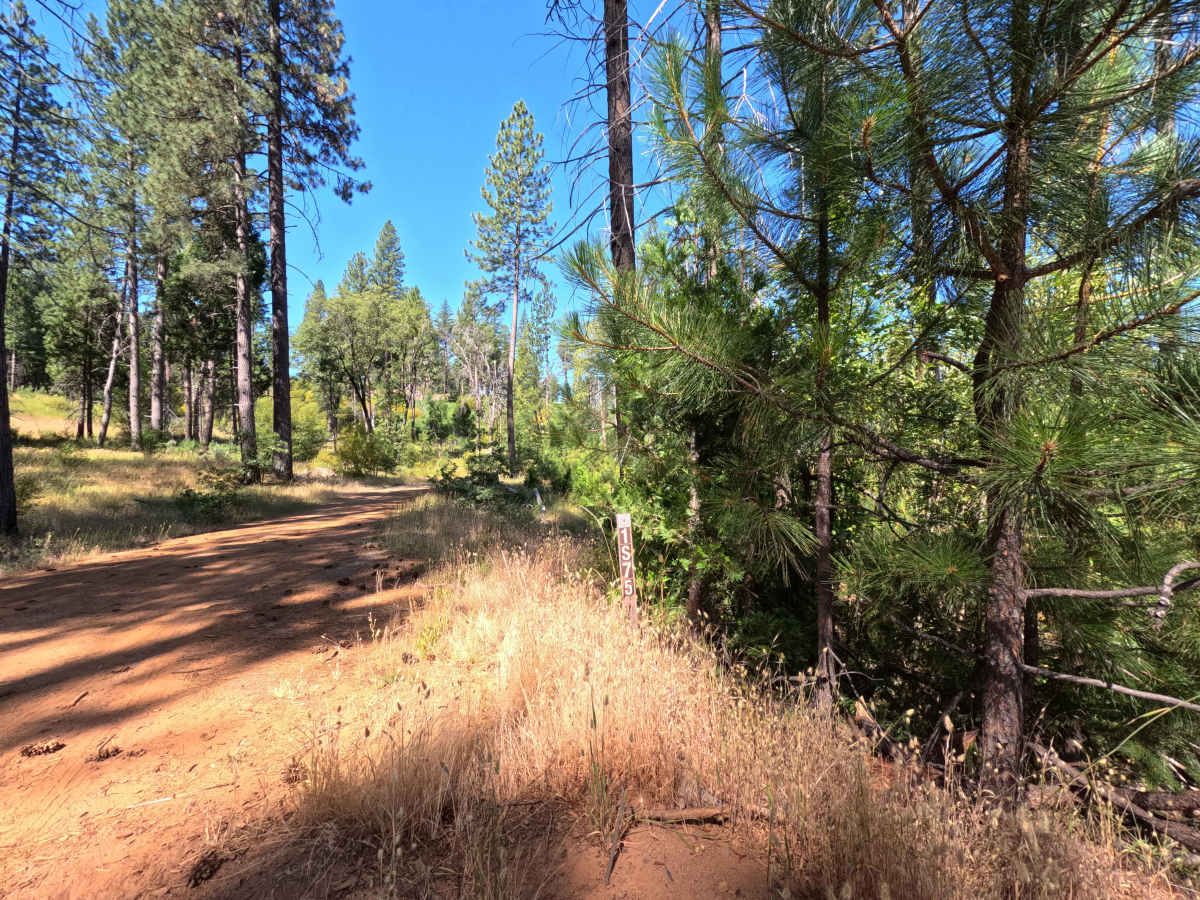
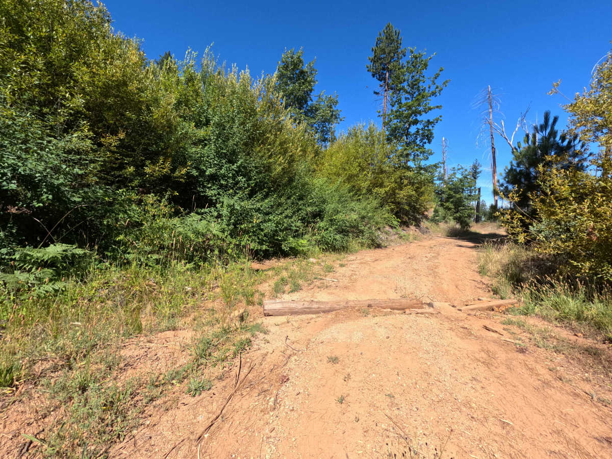
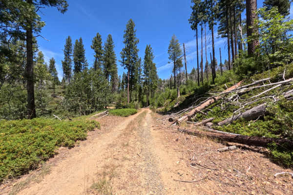
Located within the Stanislaus National Forest near Hardin Flat, FS 1S71 is an obscure out-and-back single-track spur branching off into the surrounding woods. Set within a recovering burned forest landscape shaped by the 2013 Rim Fire, the surrounding terrain is filled with standing charred snags and a dense, thick brush understory. Outdoor recreationists primarily explore this quiet route to locate a couple of secluded, primitive dispersed campsites situated near the beginning of the road. The driving surface consists of a narrow dirt and gravel track marked by minor ruts and heavy vegetation overgrowth, earning an accessible Grade 2 difficulty rating. Leaving the primary access road, the track begins with shallow ruts before squeezing into an increasingly tight corridor of shrubbery where brush contact and minor pinstriping are unavoidable. The trail continues narrowing until coming to an abrupt halt at 0.6 miles, blocked by a fallen tree across the path and thick, unmaintained brush beyond it. Because no turnaround loop exists at the dead-end, reversing backward along the narrow, rutted track is required to exit.
Difficulty
Earning a Grade 2 difficulty rating, this 0.6-mile out-and-back spur features a relatively flat dirt and gravel surface free of major rock crawling obstacles or steep slopes. Non-technical hazards dominate the drive, including persistent brush encroachment that causes vehicle pinstriping and shallow longitudinal ruts. The primary obstacle is a fallen tree completely blocking the road at 0.6 miles. With no turnaround clearing at the dead-end, drivers must carefully reverse back down the narrow, rutted corridor to exit safely.

 Offroad