
Dirt Bike Trails
Near Vicksburg, Arizona
Explore All Dirt Bike Trails Near Vicksburg, Arizona
Dirt Bike Trails Near Vicksburg, Arizona
Discover the best dirt bike trails near you. Browse trail maps, check difficulty ratings, and find your next adventure — whether you're looking for a quick ride or an all-day expedition.
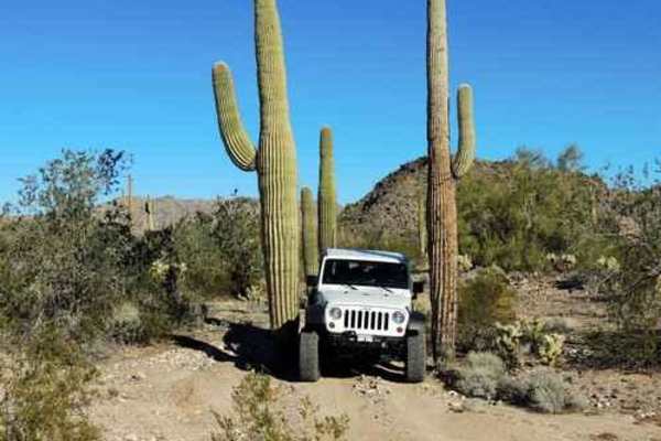
Tank Pass
This trail starts off I-10, continuing through the desert to some pretty fun climbing that gets you on top of a ridge and works your way around to Donna's Overlook. There are three different headstone markers in this area, as well as a couple of dolls propped up on the tallest peak. There are great ...
Learn more about Tank Pass

Hillbilly
This trail winds through the Little Harquahala Mountains, starting from I-10, and ending near the town of Vicksburg on Highway 60. It was given its name because of the hills and valleys you go up and down throughout the trail. This trail lives up to its name by running up hills, down hills, into was...
Learn more about Hillbilly
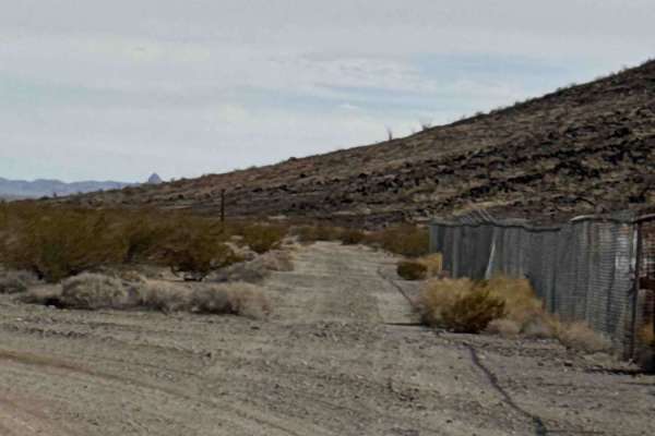
Passmore Gas
Enter from Highway 60 through the gate and keep it closed. Continue straight on this out-and-back route, which follows a wide gravel two-track past the mountain and quickly enters State Trust Land, where a permit is required. A wide turnaround area is available near the beginning of the State Trust ...
Learn more about Passmore Gas
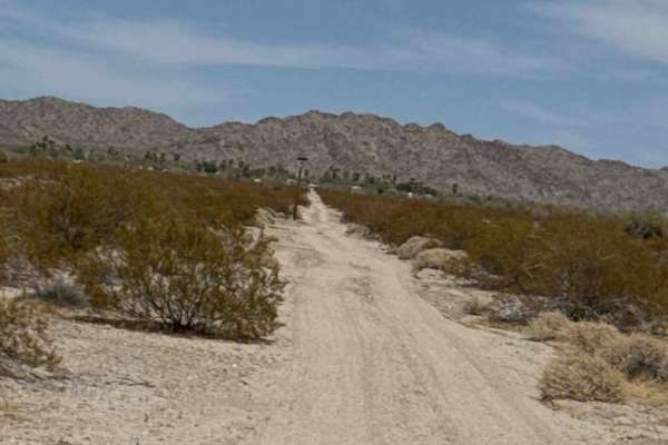
Hs80k
This trail begins off Highway 60 near a closed gate between an old arena and Ramblin' Roads RV Park in Hope, Arizona. Follow the route approximately 0.15 miles across the desert between the two before turning right and paralleling Highway 60. Expect large drainage ruts and washouts across the entire...
Learn more about Hs80k
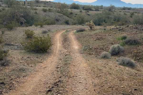
Vicksburg Flats
This is a flat and wide trail through the BLM desert near Vicksburg, Arizona. It is unmarked and has no signs for width designation, but there are tracks to follow. It rides across a flat desert terrain over packed loose rocks, then starts going over some rolling hills next to paloverde trees and va...
Learn more about Vicksburg Flats
Vicksburg Valley
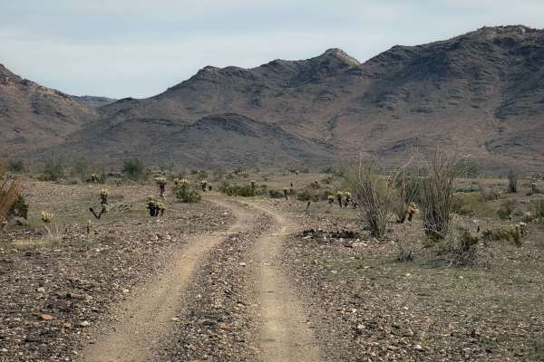
This is an unmarked desert trail north of Vicksburg, Arizona, that is wide like a road, going fast and straight through a barren desert landscape. It rides over a mix of dirt and packed dark-colored small loose rocks, next to giant saguaro cactus and gardens of cholla cactus. The trail dips into a c...
Learn more about Vicksburg Valley
Hillbilly Gateway
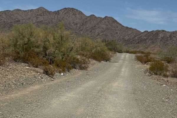
Hillbilly Gateway is a point-to-point trail that follows a wide, gravel two-track with no technical sections or major obstacles. Follow the established track through and around the camping loop before continuing northeast. The route connects to Hillbilly Trail and several additional spur trails arou...
Learn more about Hillbilly Gateway
Calcite Wash
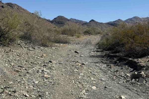
This wide, open wash trail begins just off Tank Pass coming from the south offers an excellent riding area for dirt bikes and ATVs. A staging area is available just before the entrance to the trail, with additional parking at the entrance to the wash. The route consists of a broad gravel wash with m...
Learn more about Calcite Wash
Standing Tall Together
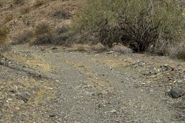
This out-and-back trail connects to Desert Crossroads and begins among black rock, desert creosote, cholla, ocotillos, and a handful of saguaros. The east-west two-track route crosses several deep washes and transitions into larger gravel with loose rocks, including pieces up to approximately 6 inch...
Learn more about Standing Tall Together
Vicksburg Wash
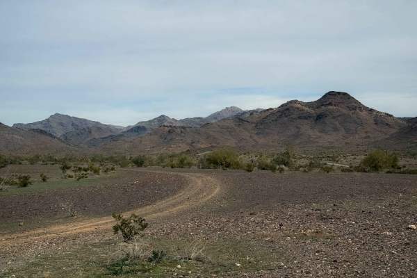
This trail rides along the desert floor north of Vicksburg, Arizona, riding through barren fields of cactus and creosote bushes. The trail parallels a wash, and you can see lots of RVs camped in the distance, as this is a popular camping area. The trail enters a wash that is a mix of small loose roc...
Learn more about Vicksburg Wash
Hs86k
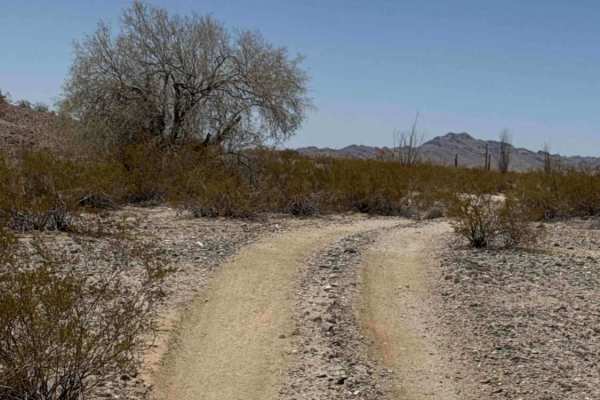
This trail can be run as an out-and-back or combined with other trails that loop around the base of the mountain. Expect small ruts and washouts throughout the route, so watch your speed. A few tight sections are lined with palo Verde trees and creosote, with the occasional stray branch reaching int...
Learn more about Hs86k
Comfort Zone Trail
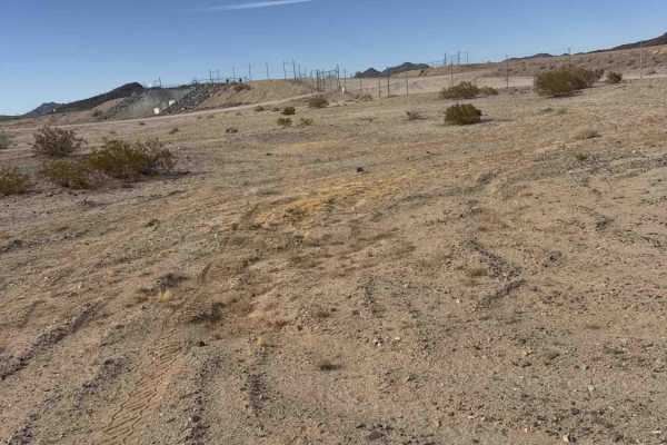
Comfort Zone Trail is one of the longest trail stretches in the riding area behind the canal. Accessible from Passmore Gas and from Hs77k and connects to several trail sections and spur routes along the way. Expect sandy trails, rolling whoops, ruts, and desert terrain. There is a small hill area th...
Learn more about Comfort Zone Trail
Desert Crossroads
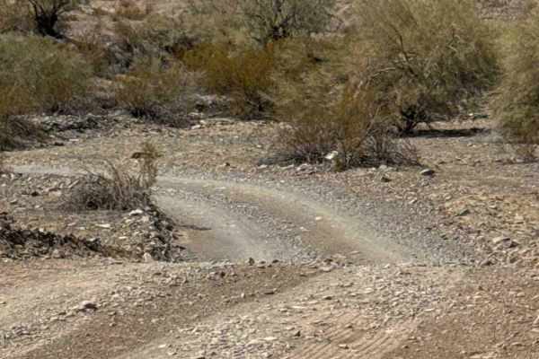
This connector trail begins off Tank Trail and crosses through the trail system in two directions. A short section provides access toward Calcite Wash, while the southern section continues toward Hillbilly Trail, making this a useful connector between the two areas. The route is non-technical with n...
Learn more about Desert Crossroads
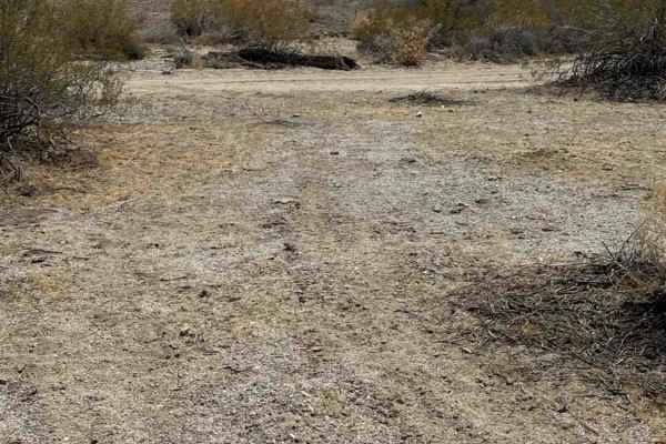
Fiber Way Connector
Fiber Way Connector provides another access point to Hs80k from Town of Hope. Connects riders to the playground and Hs86k. The trail features frequent washout ruts, rolling whoops, several S-curves, and a few tight, overgrown sections. Expect occasional pockets of deeper sand throughout the route. N...
Learn more about Fiber Way Connector
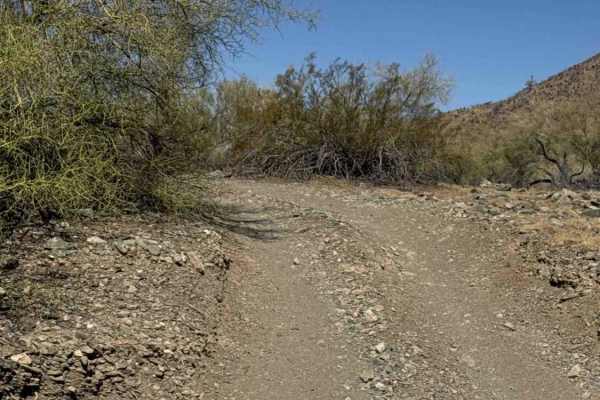
Cholla Ridge
This scenic desert trail begins in a broad wash before climbing through a couple of washed-out sections to the higher terrain. Once on top, the trail widens into an easy-to-follow route that winds through classic Sonoran Desert landscapes. The surface consists primarily of dirt and loose gravel, wit...
Learn more about Cholla Ridge
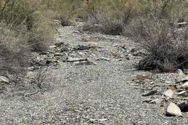
West Calcite Wash
Beginning off Tank Wash, this scenic wash trail starts as a narrow route along the wash wall before quickly opening into the broad expanse of Calcite Wash to the north. An experienced rider is recommended for the last section of this trail. The trail is a wide 2-track with a surface of loose grave...
Learn more about West Calcite Wash
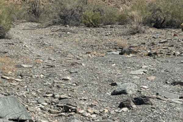
Waterfall Wash
Beginning at Tank Pass, this trail offers two distinct routes, each providing a different off-road experience. Heading east, the trail follows a loose rock wash filled with countless small- to medium-sized rock waterfalls. Multiple lines are available through most obstacles, allowing drivers and rid...
Learn more about Waterfall Wash
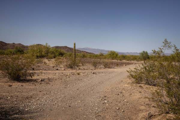
Preacher Pass
The Preacher Pass Trail is a rugged and remote desert route that cuts through a rocky saddle in the Arizona backcountry. This one-lane trail is consistently rocky, bumpy, and rutted, with deep erosion in multiple sections. The overall condition is rough from start to finish, offering a demanding but...
Learn more about Preacher Pass
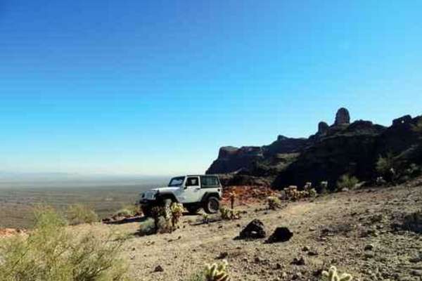
Frontside
This is a Jeep trail that runs along the "frontside " of the New Water Mountain Mountains and the New Water Mountain Wilderness. There are three spurs that lead toward the mountains. I recommend you start at the east end because this saves the best for last. Most of the trail is rated 4, but the ve...
Learn more about Frontside
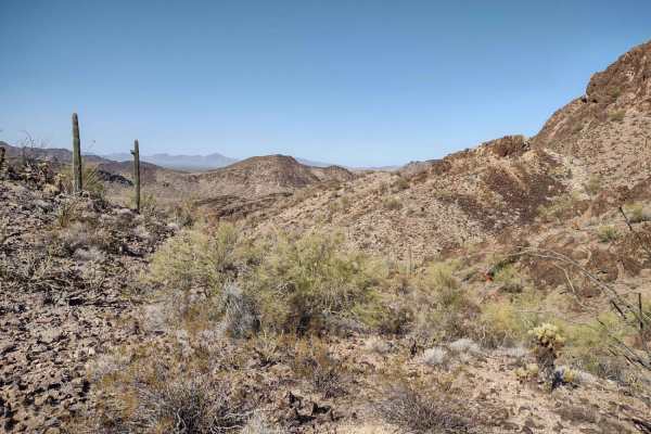
Rockin' Ram Trail - Southern Section
The Rockin' Ram Trail - Southern Section offers scenic desert riding for intermediate offroaders, SxSs, and high-clearance four-wheel-drive vehicles seeking a rugged journey through the mountains south of Interstate 10. This point-to-point dirt trail spans approximately 21 miles from Quartzsite to B...
Learn more about Rockin' Ram Trail - Southern Section
ATV trails near Vicksburg, Arizona
Explore ATV-friendly trails near you. These trails are accessible for vehicles up to 50 inches wide, perfect for ATVs and smaller off-road machines.
Tank Pass
This trail starts off I-10, continuing through the desert to some pretty fun climbing that gets you on top of a ridge and works your way around to Donna's Overlook. There are three different headstone markers in this area, as well as a couple of dolls propped up on the tallest peak. There are great ...
Learn more about Tank Pass
Hillbilly
This trail winds through the Little Harquahala Mountains, starting from I-10, and ending near the town of Vicksburg on Highway 60. It was given its name because of the hills and valleys you go up and down throughout the trail. This trail lives up to its name by running up hills, down hills, into was...
Learn more about Hillbilly
Passmore Gas
Enter from Highway 60 through the gate and keep it closed. Continue straight on this out-and-back route, which follows a wide gravel two-track past the mountain and quickly enters State Trust Land, where a permit is required. A wide turnaround area is available near the beginning of the State Trust ...
Learn more about Passmore Gas
Hs80k
This trail begins off Highway 60 near a closed gate between an old arena and Ramblin' Roads RV Park in Hope, Arizona. Follow the route approximately 0.15 miles across the desert between the two before turning right and paralleling Highway 60. Expect large drainage ruts and washouts across the entire...
Learn more about Hs80k
UTV/side-by-side trails near Vicksburg, Arizona
Find UTV and side-by-side trails near you. These trails accommodate vehicles up to 60 inches wide, ideal for UTVs, side-by-sides, and wider off-road rigs.
Tank Pass
This trail starts off I-10, continuing through the desert to some pretty fun climbing that gets you on top of a ridge and works your way around to Donna's Overlook. There are three different headstone markers in this area, as well as a couple of dolls propped up on the tallest peak. There are great ...
Learn more about Tank Pass
Hillbilly
This trail winds through the Little Harquahala Mountains, starting from I-10, and ending near the town of Vicksburg on Highway 60. It was given its name because of the hills and valleys you go up and down throughout the trail. This trail lives up to its name by running up hills, down hills, into was...
Learn more about Hillbilly
Preacher Pass
The Preacher Pass Trail is a rugged and remote desert route that cuts through a rocky saddle in the Arizona backcountry. This one-lane trail is consistently rocky, bumpy, and rutted, with deep erosion in multiple sections. The overall condition is rough from start to finish, offering a demanding but...
Learn more about Preacher Pass
Frontside
This is a Jeep trail that runs along the "frontside " of the New Water Mountain Mountains and the New Water Mountain Wilderness. There are three spurs that lead toward the mountains. I recommend you start at the east end because this saves the best for last. Most of the trail is rated 4, but the ve...
Learn more about Frontside
The onX Offroad Difference
onX Offroad combines trail photos, descriptions, difficulty ratings, width restrictions, seasonality, and more in a user-friendly interface. Available on all devices, with offline access and full compatibility with CarPlay and Android Auto. Discover what you're missing today!
Open Trail Map