Tank Pass

Total Miles 32.4
Technical Rating
5 Moderate
Best Time Summer, Fall
Trail Type High-Clearance 4x4 Trail
Accessible By
Open Trail Map

Trail Overview

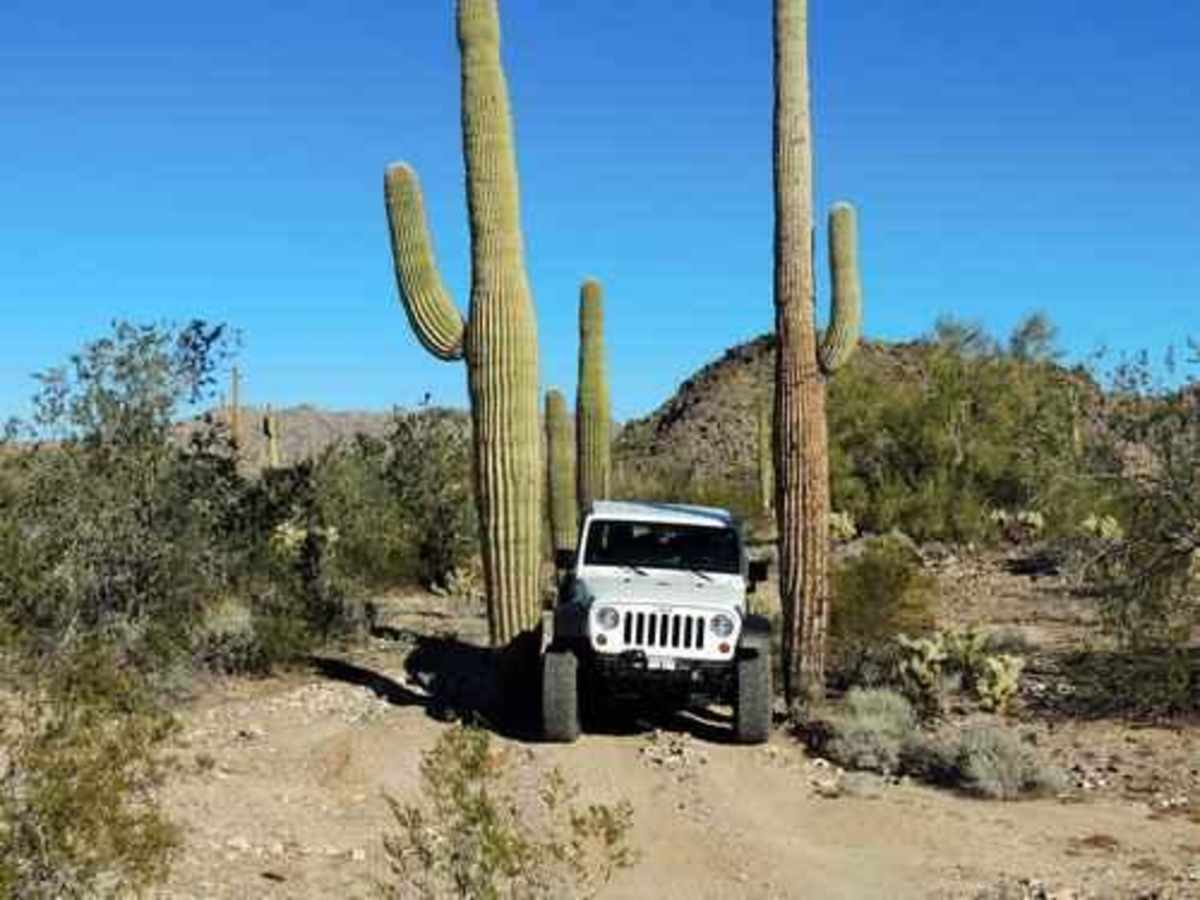
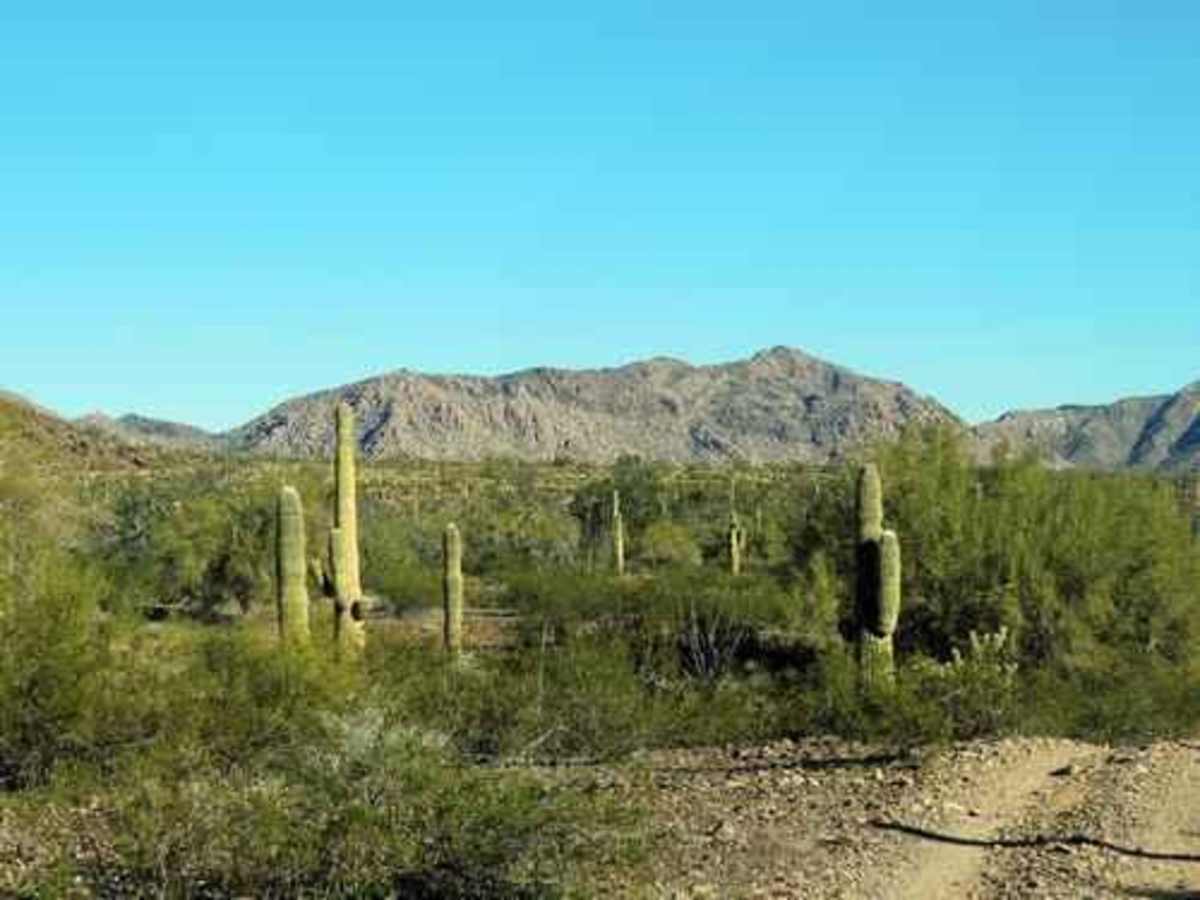
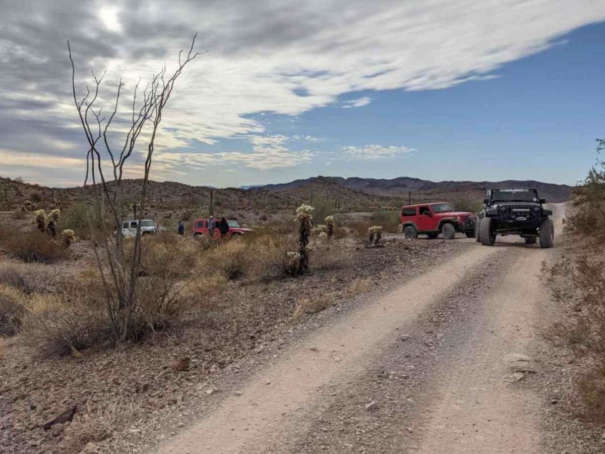
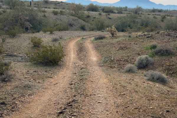
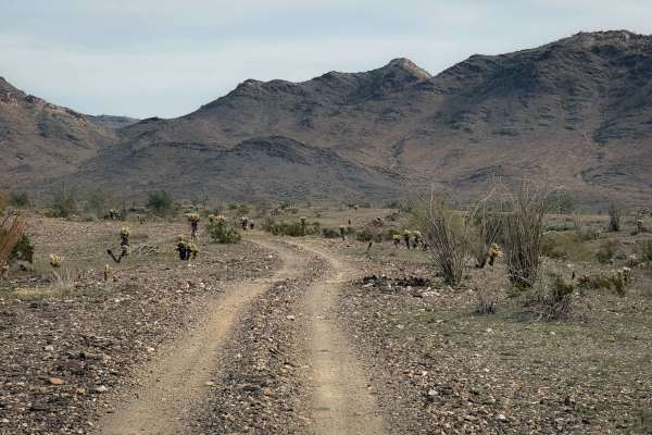
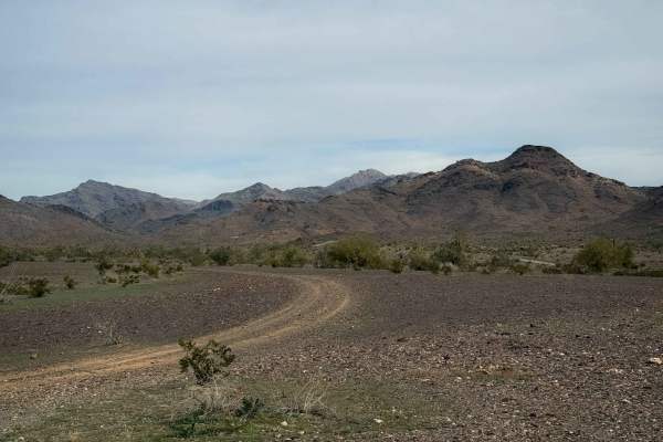
This trail starts off I-10, continuing through the desert to some pretty fun climbing that gets you on top of a ridge and works your way around to Donna's Overlook. There are three different headstone markers in this area, as well as a couple of dolls propped up on the tallest peak. There are great views of the area. General Patton trained with his tanks in this area and the pass is named for this. His camp was in the flat country to the north, but this trail does not go to the location. There's nice scenery and some unusual attractions. This trail can be run either way equally well. From Vicksburg, you'll start out crossing the southern tip of the Granite Wash Mountains and pass by numerous old mines. Next, you'll drop out of the mountains and follow north along the eastern face of them. There are nice stands of saguaro. The "Saguaro Squeeze" suggests that this portion of the trail was never constructed as a road--someone simply started driving across the desert.

Photos of Tank Pass

Difficulty

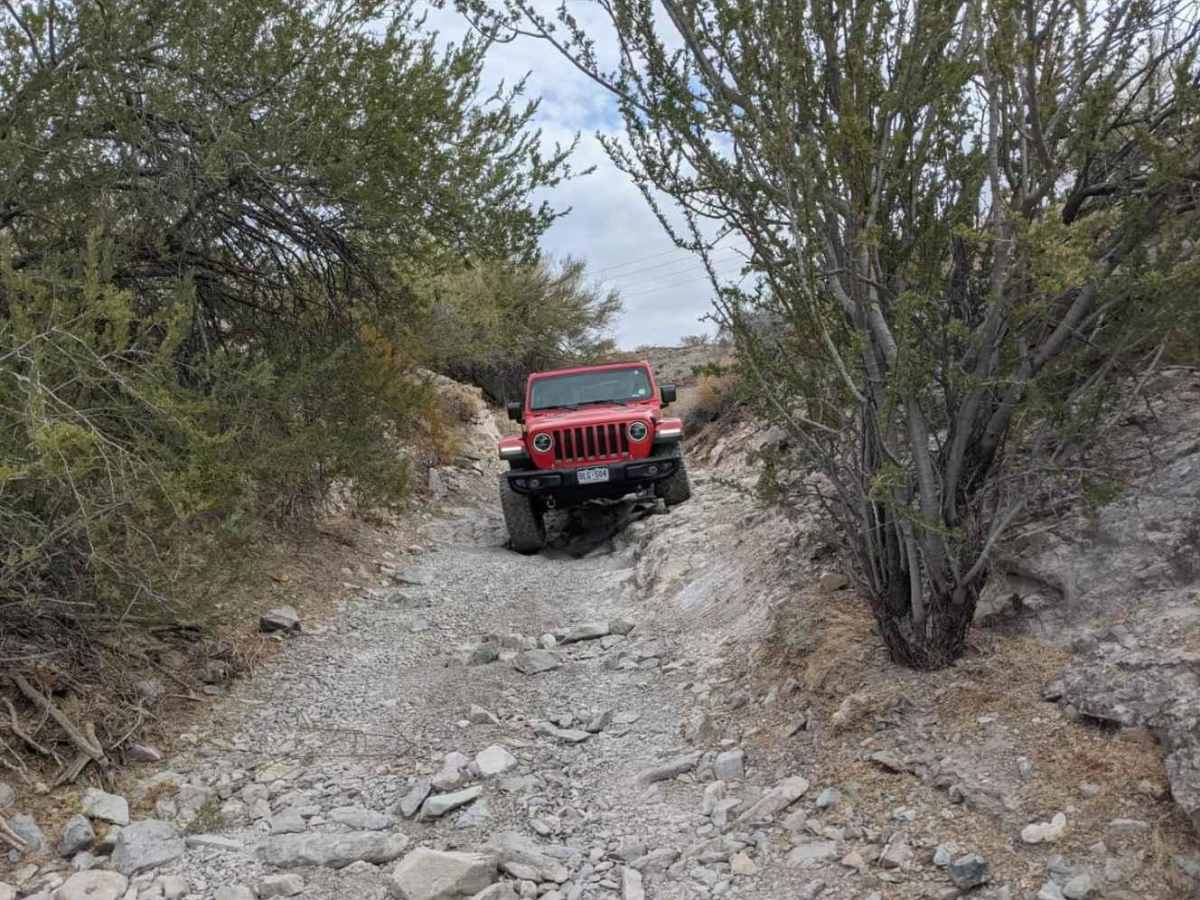
This is an uneven, rutted dirt trail with loose rocks, sand, erosion, and washes. There are potential water crossings up to 18 inches deep, mud holes, and obstacles up to 2 feet, including ledges and short, steep grades.

Technical Rating

5

Status Reports

Add Status Report
kevin main
Jan 14, 2026
Open
Great trail wonderful veiws
Jeff Rose
Nov 16, 2024
Open
While on our way to Parker, we decided to jump on Hillbilly off of Rt60 then to Donna's Overlook then Tank Pass over to Rt72. This was on the easy side with one or two areas needing high ground clearance thus the 4 rating instead of 2 or 3. Never got out of 4H. Narrow in spots resulting in a couple of light AZ Pinstripes. Lots of deep sand on Hillbilly. Stopped a few times so we were out there 2.5 hours. Only saw 1 small group of sxs.
R&K Keyworth
Jan 15, 2024
Open
Eric Gartin
Dec 05, 2023
Open
Great trail to run! Only ran the north section (AZPT) and took a side trail to Salome. One section on the northwest side of tank pass is the most difficult with obstacles up to 18" in height. The remaining portion of trail is sandy with narrow passes through the Cactus and some steep areas in and out of washes. Ran most of the trail in 2WD.

Tank Pass Trail can be accessed by the following ride types:

  • Single Track
  • 50 Inch
  • 60 Inch
  • High Clearance

Tank Pass Map

The onX Offroad Difference

onX Offroad combines trail photos, descriptions, difficulty ratings, width restrictions, seasonality, and more in a user-friendly interface. Available on all devices, with offline access and full compatibility with CarPlay and Android Auto. Discover what you're missing today!

Open Trail Map