
Dirt Bike Trails
Near Utting, Arizona
Explore All Dirt Bike Trails Near Utting, Arizona
Dirt Bike Trails Near Utting, Arizona
Discover the best dirt bike trails near you. Browse trail maps, check difficulty ratings, and find your next adventure — whether you're looking for a quick ride or an all-day expedition.
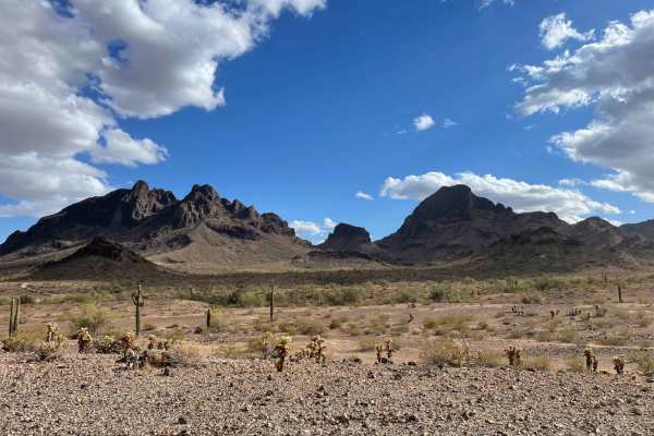
AXPT Bouse to Southern Cross Mine
A mostly easy trail that starts as a washboard closer to town then turns into a narrow rutted whoops trail, transitioning from soft sand to gravel. The trail has a few challenging rocky sections but is mostly rocky with little whoops that seem to alternate left to right. There are epic views of the ...
Learn more about AXPT Bouse to Southern Cross Mine
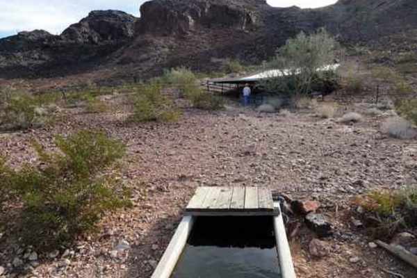
Four Peaks Loop
This is a short, easy and enjoyable Jeep trail that circles Four Peaks in the Plomosa Mountains. A rolling trail approaches from Bouse, then circles around the south face of the peaks. There is a "Guzzler" to provide water for wildlife. The big metal sheets collect rainwater and funnel it into a sh...
Learn more about Four Peaks Loop
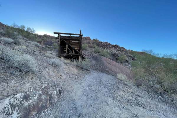
Southern Cross Mine
A fun, challenging trail that leads back to the Southern Cross Mine area. There are lots of dispersed camping spots along the way and quite a few killer ones at the end. The trail is difficult in spots with loose rocky hill climbs, rocky washes, sandy washes, and tight bermed corners. Some sections ...
Learn more about Southern Cross Mine
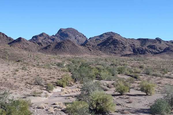
Four Peaks to Plomosa Road
This 3-mile trail provides an alternate route to get from the Four Peaks area back to Plomosa Road. It will provide different scenery and a slightly different view from the other trails in this area simply because the desert is so unique. Taking the same trail in the opposite direction, or finding a...
Learn more about Four Peaks to Plomosa Road
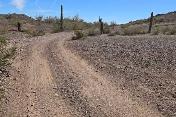
Head for Lunch Trail
This trail starts at the end of Preacher Pass Trail and goes to Brenda, Arizona. It meanders through the desert in mostly dirt and gravel. There are some shallow washes and turns in this trail. You will pass some rugged mountains on your left as you proceed toward town. This trail is narrow in place...
Learn more about Head for Lunch Trail
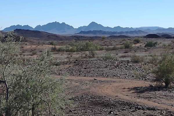
Plomosa Mountains Cut Across
This 7.5-mile trail takes you from the Southern Cross Mine Trail to Plomosa Mountains Trail by going along the east side of the Plomosa Mountains. The views of the valley are beautiful. In the AZ desert, always be alert for rattlesnakes and scorpions. Take plenty of water and snacks, and carry extra...
Learn more about Plomosa Mountains Cut Across
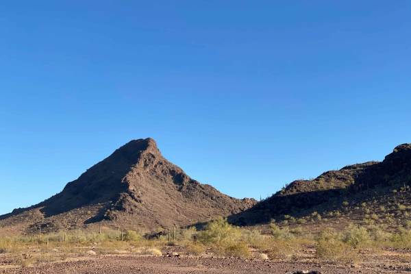
AZ Peace Trail Middle Section 25 Quartzite to Boise
This Middle Section of the Arizona Peace Trail can be linked up with the Western Preacher Pass Trail to make a fun and challenging short loop. There are loose rocky hill climbs, sandy washes, and desert tree branches hanging over the trail. Watch for paint and tire sidewall damage. No cell service.
Learn more about AZ Peace Trail Middle Section 25 Quartzite to Boise
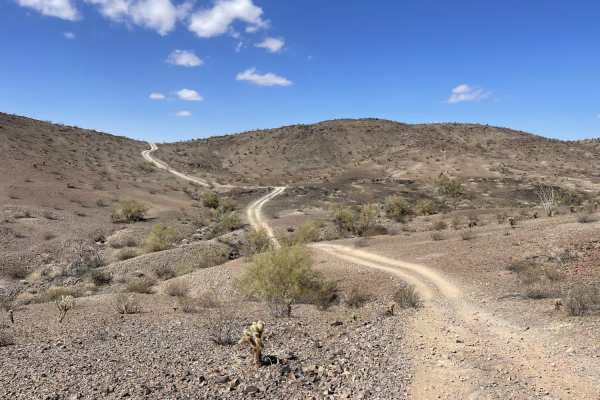
Plomosa Backside
This is the northwestern cutover trail for the Polmosa Range. This trail cuts over and around the mountains. There are a few short sandy dune sections and some steep loose hill climbs, and off-camber sections. There are also some short shelves and drops and climbs as you cross over the different sec...
Learn more about Plomosa Backside
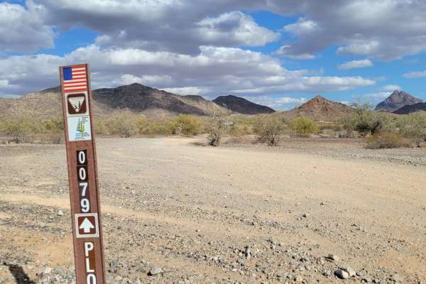
Trail 0079
Trail 0079 is an easy, scenic one-mile desert connector trail near Quartzsite, Arizona, perfect for beginners, families, and offroaders looking for a quick, relaxed cruise through the desert. Starting just off paved Plomosa Road via road Lp065, this wide-open route provides gorgeous mountain views a...
Learn more about Trail 0079
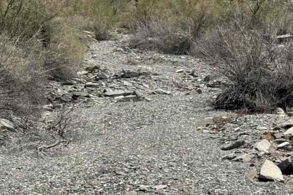
West Calcite Wash
Beginning off Tank Wash, this scenic wash trail starts as a narrow route along the wash wall before quickly opening into the broad expanse of Calcite Wash to the north. An experienced rider is recommended for the last section of this trail. The trail is a wide 2-track with a surface of loose grave...
Learn more about West Calcite Wash
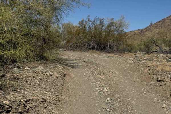
Cholla Ridge
This scenic desert trail begins in a broad wash before climbing through a couple of washed-out sections to the higher terrain. Once on top, the trail widens into an easy-to-follow route that winds through classic Sonoran Desert landscapes. The surface consists primarily of dirt and loose gravel, wit...
Learn more about Cholla Ridge
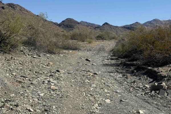
Calcite Wash
This wide, open wash trail begins just off Tank Pass coming from the south offers an excellent riding area for dirt bikes and ATVs. A staging area is available just before the entrance to the trail, with additional parking at the entrance to the wash. The route consists of a broad gravel wash with m...
Learn more about Calcite Wash
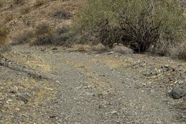
Standing Tall Together
This out-and-back trail connects to Desert Crossroads and begins among black rock, desert creosote, cholla, ocotillos, and a handful of saguaros. The east-west two-track route crosses several deep washes and transitions into larger gravel with loose rocks, including pieces up to approximately 6 inch...
Learn more about Standing Tall Together
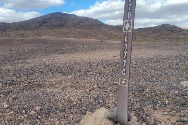
Trail 0077C
Trail 0077C is a short, scenic desert connector trail near Plomosa Road that features a steep hill climb and a tricky wash crossing, making it ideal for high-clearance four-wheel-drive vehicles and SxSs looking for a quick, engaging detour. Measuring just over half a mile long, this unpaved route co...
Learn more about Trail 0077C
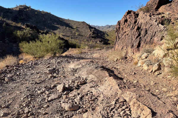
AZ Peace Trail Preacher Pass Cutover Back to Main Trail
This challenging trail can be connected with the West Preacher Pass to make a loop back to the valley. It's more difficult than WPP since it has steep rocky washouts. Long sections of sandy washes. There is a steep rocky hill climb and tight blind corners. The canyon is beautiful, with forests of Ch...
Learn more about AZ Peace Trail Preacher Pass Cutover Back to Main Trail
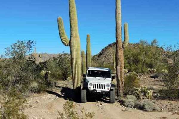
Tank Pass
This trail starts off I-10, continuing through the desert to some pretty fun climbing that gets you on top of a ridge and works your way around to Donna's Overlook. There are three different headstone markers in this area, as well as a couple of dolls propped up on the tallest peak. There are great ...
Learn more about Tank Pass

Hillbilly
This trail winds through the Little Harquahala Mountains, starting from I-10, and ending near the town of Vicksburg on Highway 60. It was given its name because of the hills and valleys you go up and down throughout the trail. This trail lives up to its name by running up hills, down hills, into was...
Learn more about Hillbilly
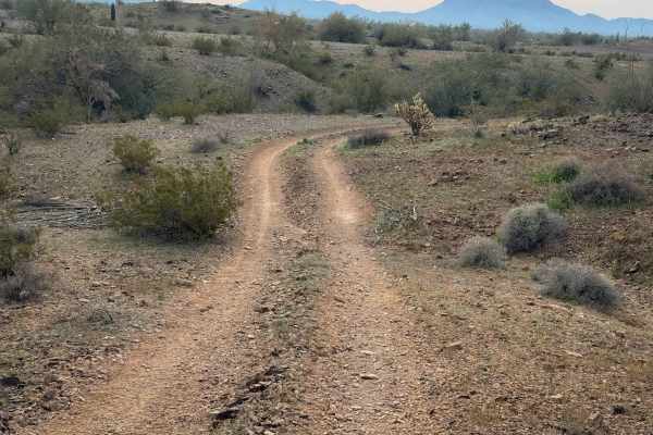
Vicksburg Flats
This is a flat and wide trail through the BLM desert near Vicksburg, Arizona. It is unmarked and has no signs for width designation, but there are tracks to follow. It rides across a flat desert terrain over packed loose rocks, then starts going over some rolling hills next to paloverde trees and va...
Learn more about Vicksburg Flats
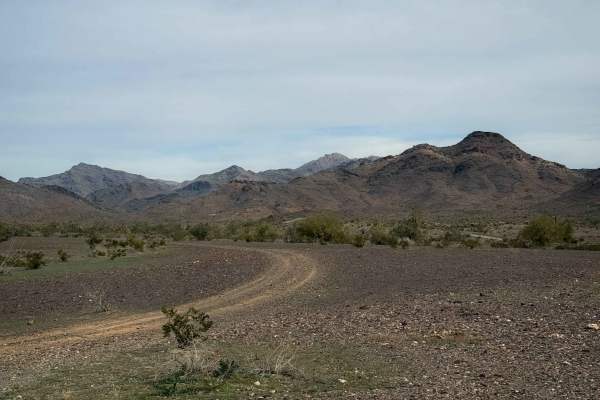
Vicksburg Wash
This trail rides along the desert floor north of Vicksburg, Arizona, riding through barren fields of cactus and creosote bushes. The trail parallels a wash, and you can see lots of RVs camped in the distance, as this is a popular camping area. The trail enters a wash that is a mix of small loose roc...
Learn more about Vicksburg Wash
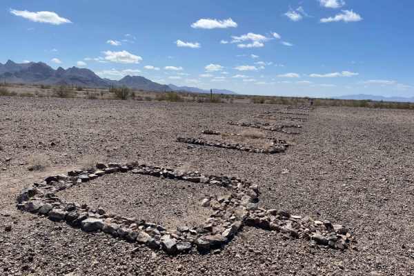
WWII Woman's Flight Marker Spur Trail for AZ Peace Trail
This is a spur trail from the AZPT to the WWII Woman's Flight Marker. It's a mostly easy trail with some washouts. This trail takes you to the fence that surrounds the markers, and you can walk in and see the historic markers from WWI to guide the women pilots the last 11 miles to the airfield to de...
Learn more about WWII Woman's Flight Marker Spur Trail for AZ Peace Trail
ATV trails near Utting, Arizona
Explore ATV-friendly trails near you. These trails are accessible for vehicles up to 50 inches wide, perfect for ATVs and smaller off-road machines.
AXPT Bouse to Southern Cross Mine
A mostly easy trail that starts as a washboard closer to town then turns into a narrow rutted whoops trail, transitioning from soft sand to gravel. The trail has a few challenging rocky sections but is mostly rocky with little whoops that seem to alternate left to right. There are epic views of the ...
Learn more about AXPT Bouse to Southern Cross Mine
Four Peaks Loop
This is a short, easy and enjoyable Jeep trail that circles Four Peaks in the Plomosa Mountains. A rolling trail approaches from Bouse, then circles around the south face of the peaks. There is a "Guzzler" to provide water for wildlife. The big metal sheets collect rainwater and funnel it into a sh...
Learn more about Four Peaks Loop
Southern Cross Mine
A fun, challenging trail that leads back to the Southern Cross Mine area. There are lots of dispersed camping spots along the way and quite a few killer ones at the end. The trail is difficult in spots with loose rocky hill climbs, rocky washes, sandy washes, and tight bermed corners. Some sections ...
Learn more about Southern Cross Mine
Four Peaks to Plomosa Road
This 3-mile trail provides an alternate route to get from the Four Peaks area back to Plomosa Road. It will provide different scenery and a slightly different view from the other trails in this area simply because the desert is so unique. Taking the same trail in the opposite direction, or finding a...
Learn more about Four Peaks to Plomosa Road
UTV/side-by-side trails near Utting, Arizona
Find UTV and side-by-side trails near you. These trails accommodate vehicles up to 60 inches wide, ideal for UTVs, side-by-sides, and wider off-road rigs.
AXPT Bouse to Southern Cross Mine
A mostly easy trail that starts as a washboard closer to town then turns into a narrow rutted whoops trail, transitioning from soft sand to gravel. The trail has a few challenging rocky sections but is mostly rocky with little whoops that seem to alternate left to right. There are epic views of the ...
Learn more about AXPT Bouse to Southern Cross Mine
Four Peaks Loop
This is a short, easy and enjoyable Jeep trail that circles Four Peaks in the Plomosa Mountains. A rolling trail approaches from Bouse, then circles around the south face of the peaks. There is a "Guzzler" to provide water for wildlife. The big metal sheets collect rainwater and funnel it into a sh...
Learn more about Four Peaks Loop
Southern Cross Mine
A fun, challenging trail that leads back to the Southern Cross Mine area. There are lots of dispersed camping spots along the way and quite a few killer ones at the end. The trail is difficult in spots with loose rocky hill climbs, rocky washes, sandy washes, and tight bermed corners. Some sections ...
Learn more about Southern Cross Mine
Four Peaks to Plomosa Road
This 3-mile trail provides an alternate route to get from the Four Peaks area back to Plomosa Road. It will provide different scenery and a slightly different view from the other trails in this area simply because the desert is so unique. Taking the same trail in the opposite direction, or finding a...
Learn more about Four Peaks to Plomosa Road
The onX Offroad Difference
onX Offroad combines trail photos, descriptions, difficulty ratings, width restrictions, seasonality, and more in a user-friendly interface. Available on all devices, with offline access and full compatibility with CarPlay and Android Auto. Discover what you're missing today!
Open Trail Map