
Dirt Bike Trails
Near Bouse, Arizona
Explore All Dirt Bike Trails Near Bouse, Arizona
Dirt Bike Trails Near Bouse, Arizona
Discover the best dirt bike trails near you. Browse trail maps, check difficulty ratings, and find your next adventure — whether you're looking for a quick ride or an all-day expedition.
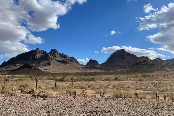
AXPT Bouse to Southern Cross Mine
A mostly easy trail that starts as a washboard closer to town then turns into a narrow rutted whoops trail, transitioning from soft sand to gravel. The trail has a few challenging rocky sections but is mostly rocky with little whoops that seem to alternate left to right. There are epic views of the ...
Learn more about AXPT Bouse to Southern Cross Mine
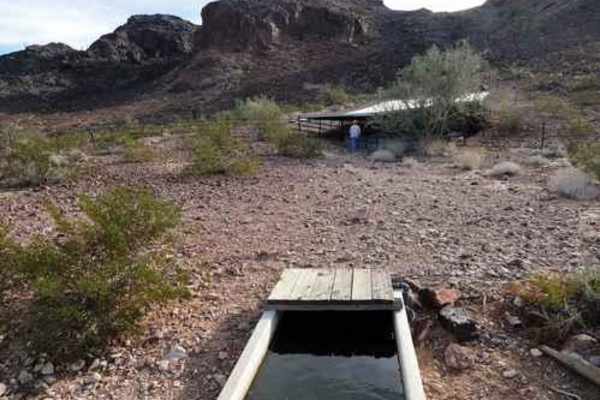
Four Peaks Loop
This is a short, easy and enjoyable Jeep trail that circles Four Peaks in the Plomosa Mountains. A rolling trail approaches from Bouse, then circles around the south face of the peaks. There is a "Guzzler" to provide water for wildlife. The big metal sheets collect rainwater and funnel it into a sh...
Learn more about Four Peaks Loop
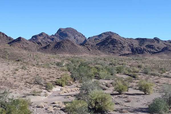
Four Peaks to Plomosa Road
This 3-mile trail provides an alternate route to get from the Four Peaks area back to Plomosa Road. It will provide different scenery and a slightly different view from the other trails in this area simply because the desert is so unique. Taking the same trail in the opposite direction, or finding a...
Learn more about Four Peaks to Plomosa Road
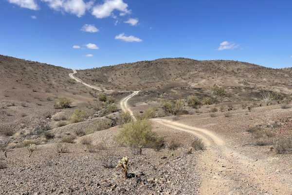
Plomosa Backside
This is the northwestern cutover trail for the Polmosa Range. This trail cuts over and around the mountains. There are a few short sandy dune sections and some steep loose hill climbs, and off-camber sections. There are also some short shelves and drops and climbs as you cross over the different sec...
Learn more about Plomosa Backside
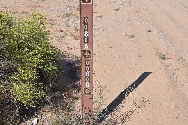
Long Way Around
This trail starts in a sandy wash on LP4180. It is sandy until you turn out of the wash onto LP089. Then you drive up into the desert terrain. Parts of this trail are flat, and other parts are up and down in and out of washes. Watch out for the whoop de doos! There is one tight turn into a wash that...
Learn more about Long Way Around
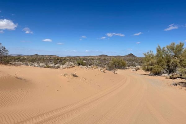
Plomosa Backside - Easy Way Around the Dunes
This side trail takes you on the easier side around the dunes with far less sand. This doesn't mean there is no sand, just less of it. There are still some sandy hills and sections, but they don't last long. The rest of the trails are rocky and dirt, with a few deeper transitions. Be sure to keep an...
Learn more about Plomosa Backside - Easy Way Around the Dunes
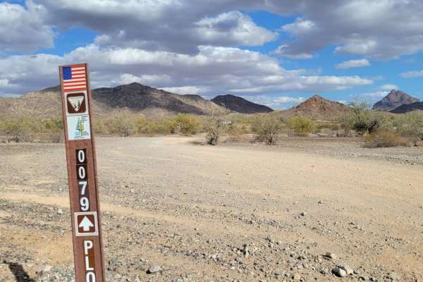
Trail 0079
Trail 0079 is an easy, scenic one-mile desert connector trail near Quartzsite, Arizona, perfect for beginners, families, and offroaders looking for a quick, relaxed cruise through the desert. Starting just off paved Plomosa Road via road Lp065, this wide-open route provides gorgeous mountain views a...
Learn more about Trail 0079
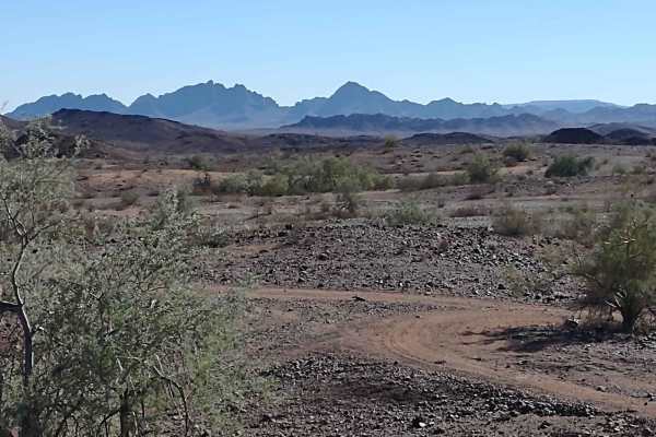
Plomosa Mountains Cut Across
This 7.5-mile trail takes you from the Southern Cross Mine Trail to Plomosa Mountains Trail by going along the east side of the Plomosa Mountains. The views of the valley are beautiful. In the AZ desert, always be alert for rattlesnakes and scorpions. Take plenty of water and snacks, and carry extra...
Learn more about Plomosa Mountains Cut Across
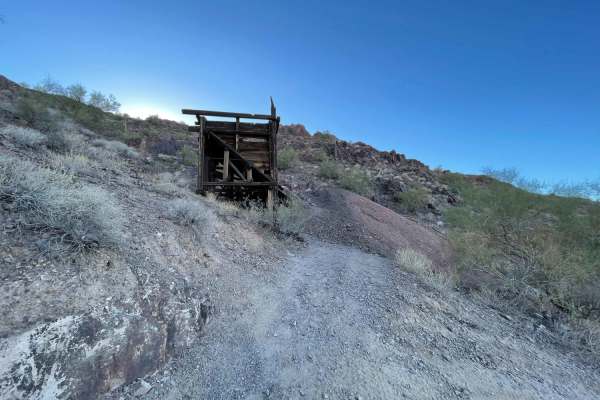
Southern Cross Mine
A fun, challenging trail that leads back to the Southern Cross Mine area. There are lots of dispersed camping spots along the way and quite a few killer ones at the end. The trail is difficult in spots with loose rocky hill climbs, rocky washes, sandy washes, and tight bermed corners. Some sections ...
Learn more about Southern Cross Mine
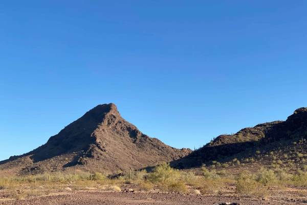
AZ Peace Trail Middle Section 25 Quartzite to Boise
This Middle Section of the Arizona Peace Trail can be linked up with the Western Preacher Pass Trail to make a fun and challenging short loop. There are loose rocky hill climbs, sandy washes, and desert tree branches hanging over the trail. Watch for paint and tire sidewall damage. No cell service.
Learn more about AZ Peace Trail Middle Section 25 Quartzite to Boise
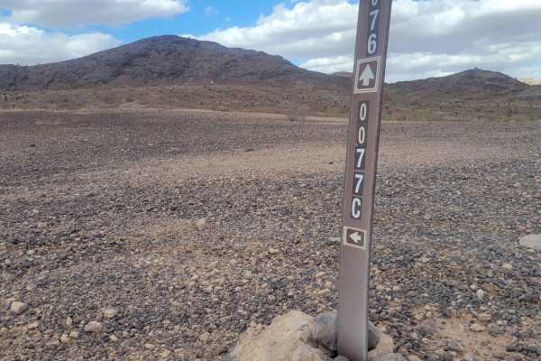
Trail 0077C
Trail 0077C is a short, scenic desert connector trail near Plomosa Road that features a steep hill climb and a tricky wash crossing, making it ideal for high-clearance four-wheel-drive vehicles and SxSs looking for a quick, engaging detour. Measuring just over half a mile long, this unpaved route co...
Learn more about Trail 0077C
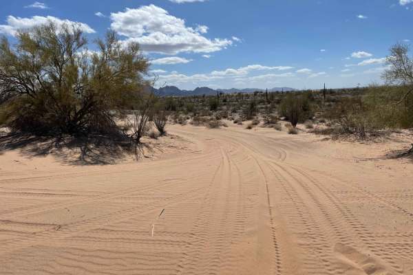
Ploomosa Side Loop
Ploomosa Side Loop is an engaging offroad route tailored for drivers seeking a more scenic and dynamic alternative to the main road near the Plomosa Mountains. Stretching roughly 3 miles, this trail is a prime option for high-clearance four-wheel-drive vehicles and SxSs wanting to navigate a lively ...
Learn more about Ploomosa Side Loop
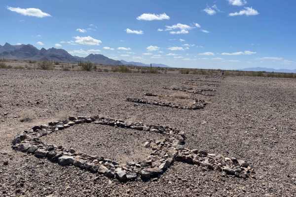
WWII Woman's Flight Marker Spur Trail for AZ Peace Trail
This is a spur trail from the AZPT to the WWII Woman's Flight Marker. It's a mostly easy trail with some washouts. This trail takes you to the fence that surrounds the markers, and you can walk in and see the historic markers from WWI to guide the women pilots the last 11 miles to the airfield to de...
Learn more about WWII Woman's Flight Marker Spur Trail for AZ Peace Trail
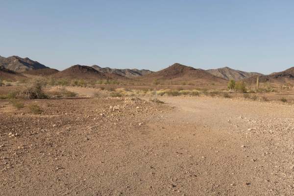
Plomosa Mountains
The Plomosa Mountains offer a rugged and remote off-road experience in western Arizona, especially when traveling south to north through the main ridgeline. This route is a one-lane, rocky, and consistently bumpy trail that winds through a dramatic desert landscape filled with old mining sites, stee...
Learn more about Plomosa Mountains
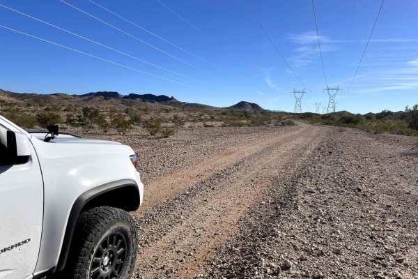
Peace Trail West
This trail is a flat and straight powerline service road, with no technical sections with a couple of small curves that can be fun to take with a little speed if clear. However, there are some cattle gates and wildlife around so stay vigilant. A few really cool more difficult and tight trails shoot ...
Learn more about Peace Trail West
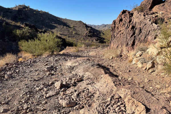
AZ Peace Trail Preacher Pass Cutover Back to Main Trail
This challenging trail can be connected with the West Preacher Pass to make a loop back to the valley. It's more difficult than WPP since it has steep rocky washouts. Long sections of sandy washes. There is a steep rocky hill climb and tight blind corners. The canyon is beautiful, with forests of Ch...
Learn more about AZ Peace Trail Preacher Pass Cutover Back to Main Trail
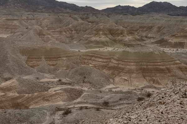
Painted Mountains
This track takes you north out of Quartzsite, Arizona, across the desert to the amazing Painted Mountains and canyons surrounding Mesquite Mountain. You will be on the reservation of the Colorado River Indian Tribe (CRIT) and you will need a CRIT sticker. They're $25/year and allow access to all the...
Learn more about Painted Mountains
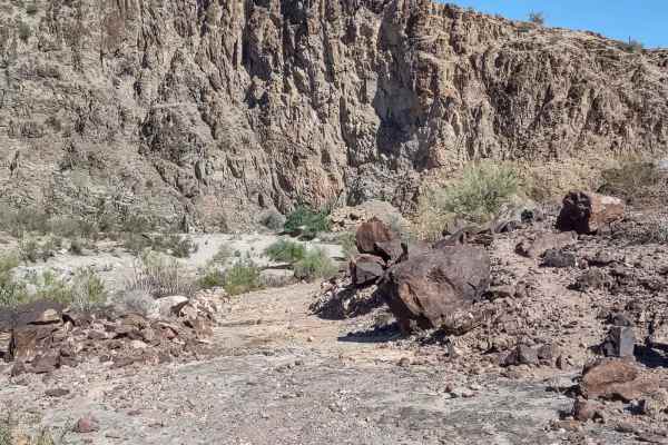
Cienega Springs to Shea
This 9-mile (each way) trail connects Cienega Springs Road and the Back Way to Desert Bar Trail with Shea Road and the Swansea Townsite Trail. You skirt along the edge of the Gibraltar Mountain Wilderness on BLM and Arizona State Trust Lands. The trail is dirt and sand, with rocks in some areas. In ...
Learn more about Cienega Springs to Shea
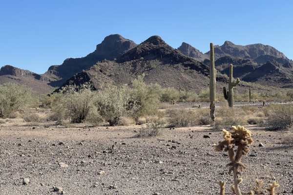
West End Preacher Pass
This western section leads to the main preacher pass trail or splits to take you north back to the Main Arizona Peace Trail. There are some sandy and sharp rocks sections, but it's generally quite easy. Many dispersed camping spots are near the beginning and a very secluded one closer to where the t...
Learn more about West End Preacher Pass
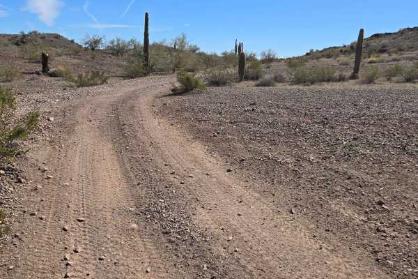
Head for Lunch Trail
This trail starts at the end of Preacher Pass Trail and goes to Brenda, Arizona. It meanders through the desert in mostly dirt and gravel. There are some shallow washes and turns in this trail. You will pass some rugged mountains on your left as you proceed toward town. This trail is narrow in place...
Learn more about Head for Lunch Trail
ATV trails near Bouse, Arizona
Explore ATV-friendly trails near you. These trails are accessible for vehicles up to 50 inches wide, perfect for ATVs and smaller off-road machines.
AXPT Bouse to Southern Cross Mine
A mostly easy trail that starts as a washboard closer to town then turns into a narrow rutted whoops trail, transitioning from soft sand to gravel. The trail has a few challenging rocky sections but is mostly rocky with little whoops that seem to alternate left to right. There are epic views of the ...
Learn more about AXPT Bouse to Southern Cross Mine
Four Peaks Loop
This is a short, easy and enjoyable Jeep trail that circles Four Peaks in the Plomosa Mountains. A rolling trail approaches from Bouse, then circles around the south face of the peaks. There is a "Guzzler" to provide water for wildlife. The big metal sheets collect rainwater and funnel it into a sh...
Learn more about Four Peaks Loop
Four Peaks to Plomosa Road
This 3-mile trail provides an alternate route to get from the Four Peaks area back to Plomosa Road. It will provide different scenery and a slightly different view from the other trails in this area simply because the desert is so unique. Taking the same trail in the opposite direction, or finding a...
Learn more about Four Peaks to Plomosa Road
Plomosa Backside
This is the northwestern cutover trail for the Polmosa Range. This trail cuts over and around the mountains. There are a few short sandy dune sections and some steep loose hill climbs, and off-camber sections. There are also some short shelves and drops and climbs as you cross over the different sec...
Learn more about Plomosa Backside
UTV/side-by-side trails near Bouse, Arizona
Find UTV and side-by-side trails near you. These trails accommodate vehicles up to 60 inches wide, ideal for UTVs, side-by-sides, and wider off-road rigs.
AXPT Bouse to Southern Cross Mine
A mostly easy trail that starts as a washboard closer to town then turns into a narrow rutted whoops trail, transitioning from soft sand to gravel. The trail has a few challenging rocky sections but is mostly rocky with little whoops that seem to alternate left to right. There are epic views of the ...
Learn more about AXPT Bouse to Southern Cross Mine
Four Peaks Loop
This is a short, easy and enjoyable Jeep trail that circles Four Peaks in the Plomosa Mountains. A rolling trail approaches from Bouse, then circles around the south face of the peaks. There is a "Guzzler" to provide water for wildlife. The big metal sheets collect rainwater and funnel it into a sh...
Learn more about Four Peaks Loop
Four Peaks to Plomosa Road
This 3-mile trail provides an alternate route to get from the Four Peaks area back to Plomosa Road. It will provide different scenery and a slightly different view from the other trails in this area simply because the desert is so unique. Taking the same trail in the opposite direction, or finding a...
Learn more about Four Peaks to Plomosa Road
Plomosa Backside
This is the northwestern cutover trail for the Polmosa Range. This trail cuts over and around the mountains. There are a few short sandy dune sections and some steep loose hill climbs, and off-camber sections. There are also some short shelves and drops and climbs as you cross over the different sec...
Learn more about Plomosa Backside
The onX Offroad Difference
onX Offroad combines trail photos, descriptions, difficulty ratings, width restrictions, seasonality, and more in a user-friendly interface. Available on all devices, with offline access and full compatibility with CarPlay and Android Auto. Discover what you're missing today!
Open Trail Map