Passmore Gas

Total Miles2.9
Technical Rating
3Easy
Best TimeSpring, Fall, Winter, Summer
Trail Type50" Trail
Accessible By
Open Trail Map

Trail Overview

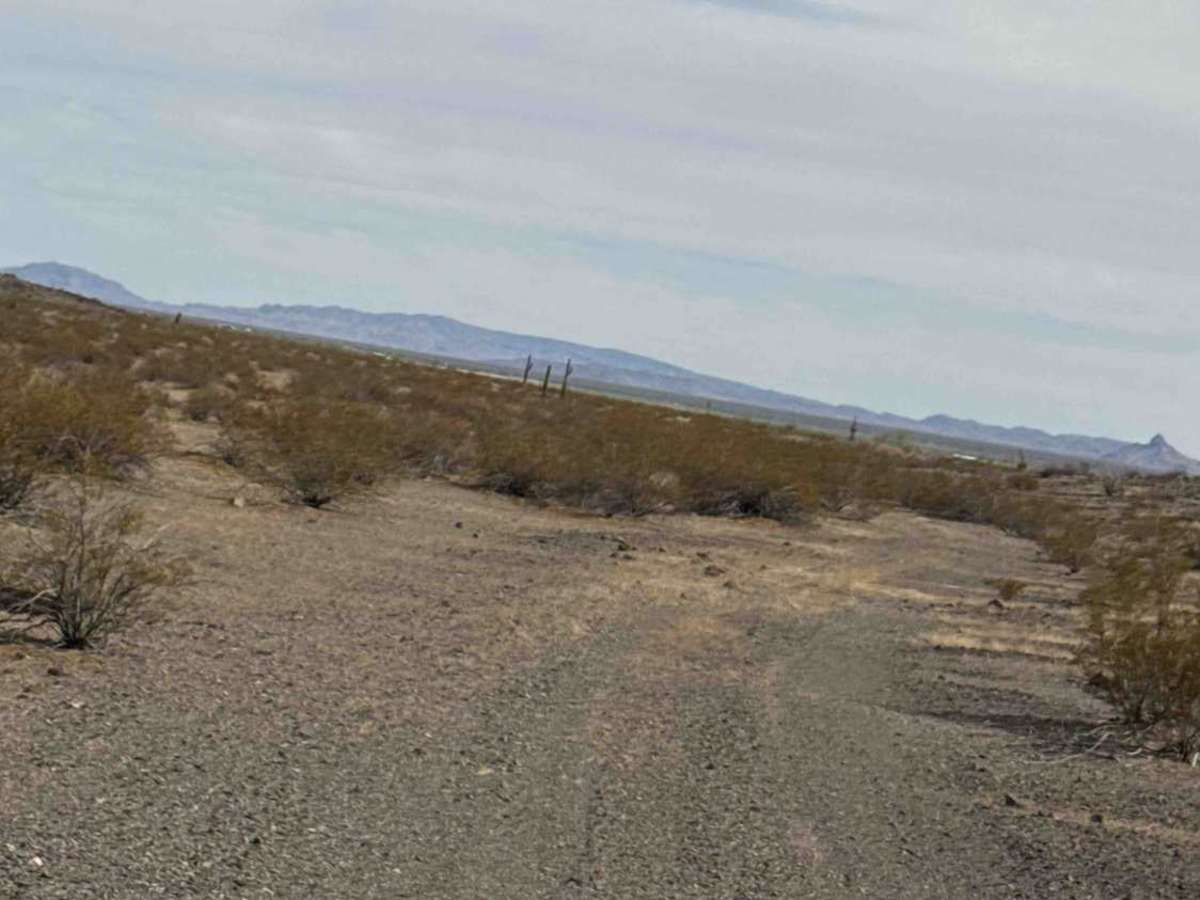
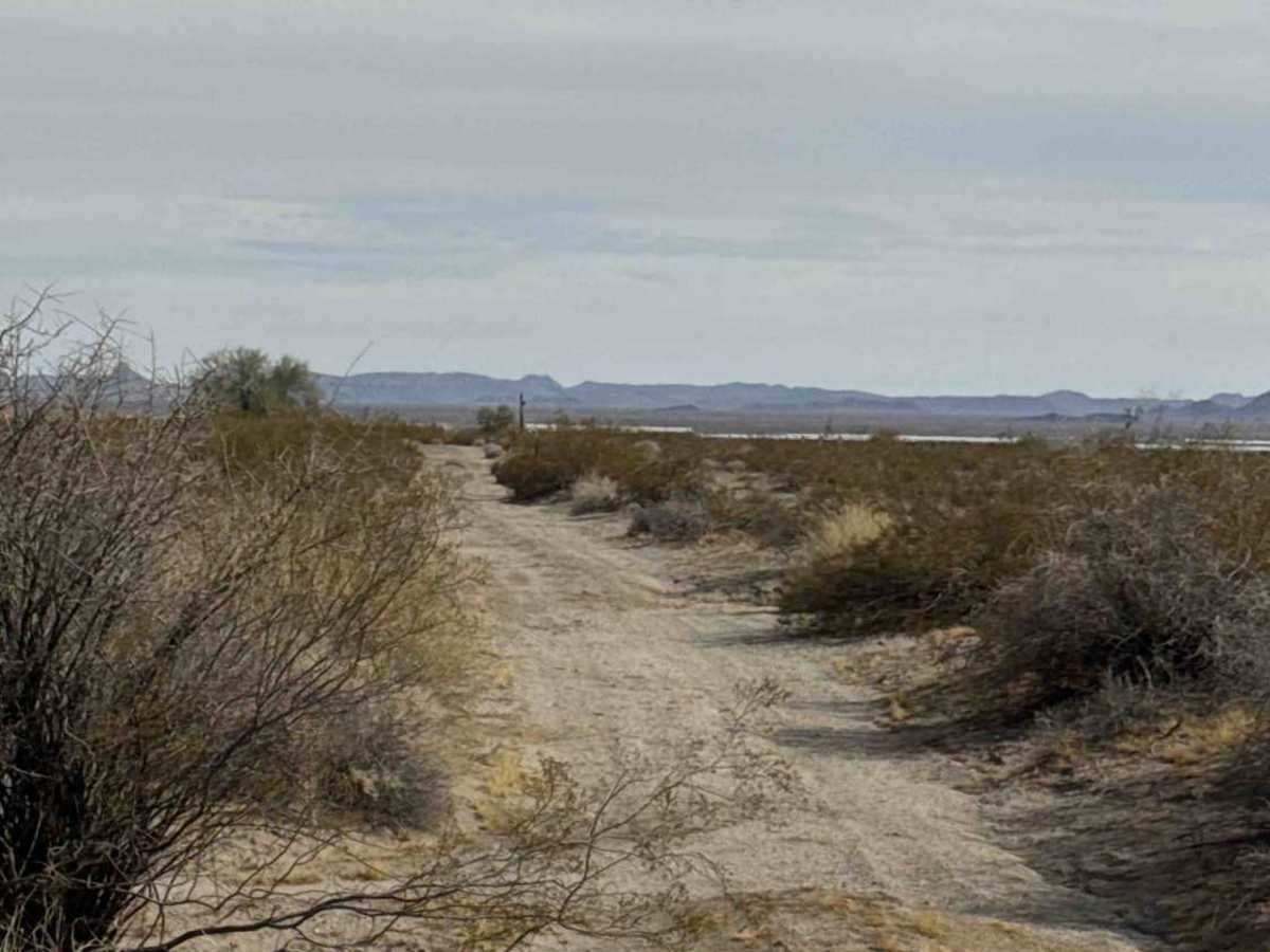
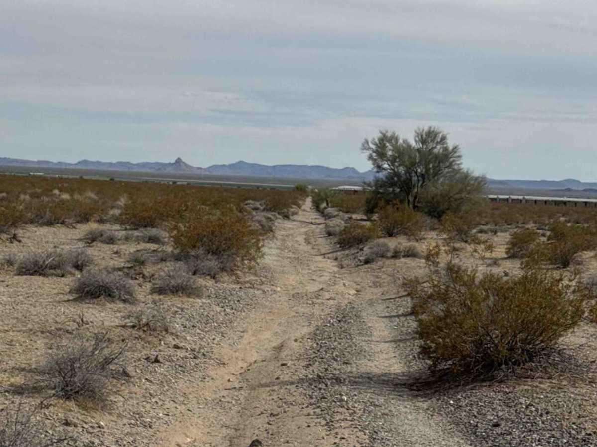
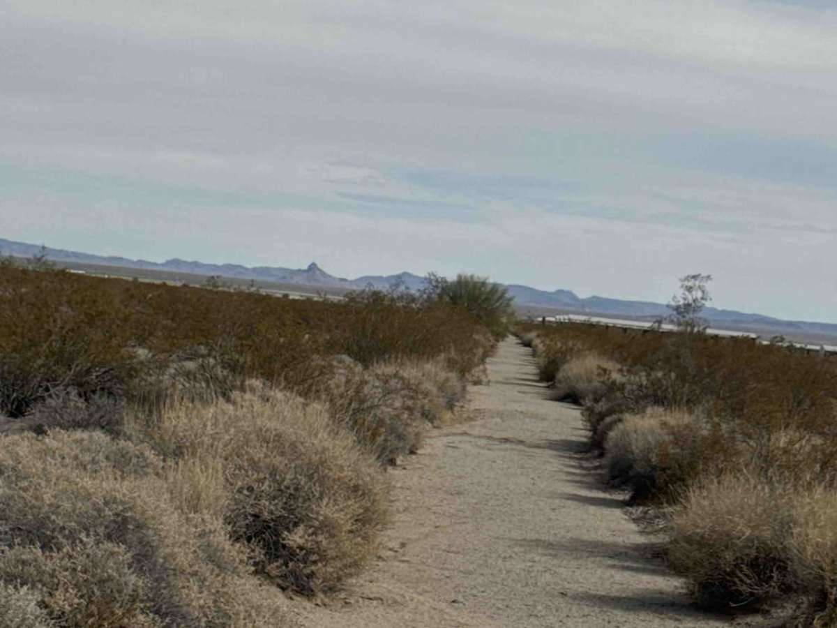
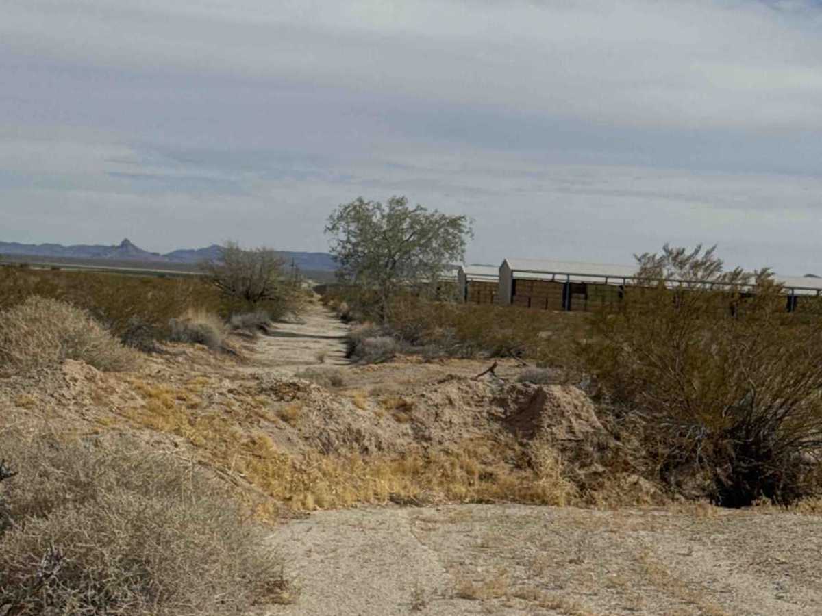
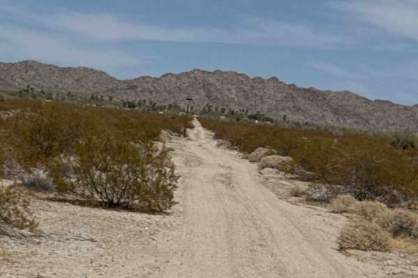
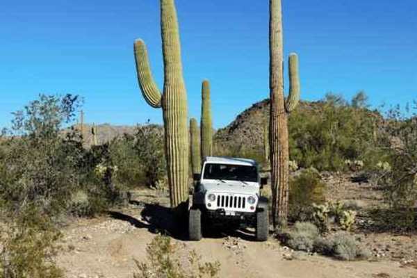
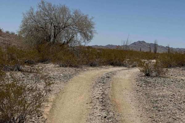
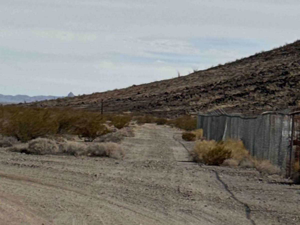
Enter from Highway 60 through the gate and keep it closed. Continue straight on this out-and-back route, which follows a wide gravel two-track past the mountain and quickly enters State Trust Land, where a permit is required. A wide turnaround area is available near the beginning of the State Trust Land section for those who choose not to continue. Beyond this point, the trail narrows and becomes heavily overgrown with palo verde trees, desert creosote, ocotillo, and thick desert brush. Watch for wildlife crossing the trail. The route ends at a designated no-motorized-access area blocked by a sand berm with a small turnaround; return the same way.

Photos of Passmore Gas

Difficulty

Wide gravel two-track transitions into a narrow, overgrown trail. No technical obstacles, but tight vegetation and very deep sand.

Technical Rating

3

Passmore Gas Trail can be accessed by the following ride types:

  • Single Track
  • 50 Inch

Passmore Gas Map

The onX Offroad Difference

onX Offroad combines trail photos, descriptions, difficulty ratings, width restrictions, seasonality, and more in a user-friendly interface. Available on all devices, with offline access and full compatibility with CarPlay and Android Auto. Discover what you're missing today!

Open Trail Map