Trail Overview
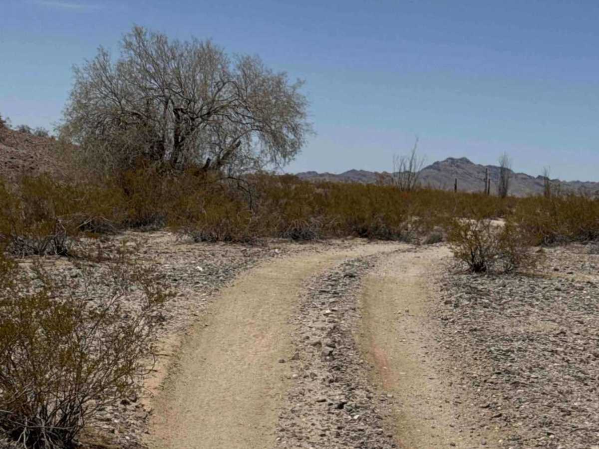
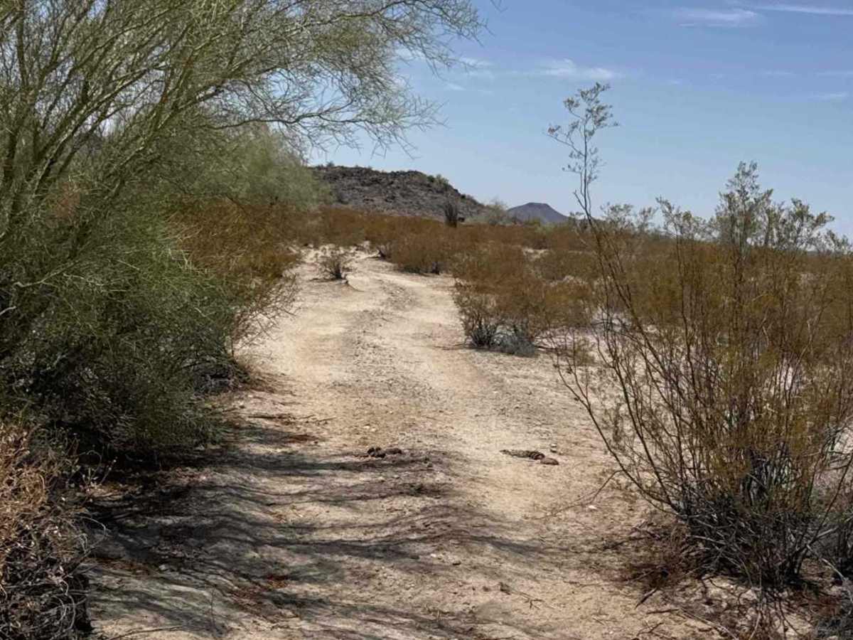
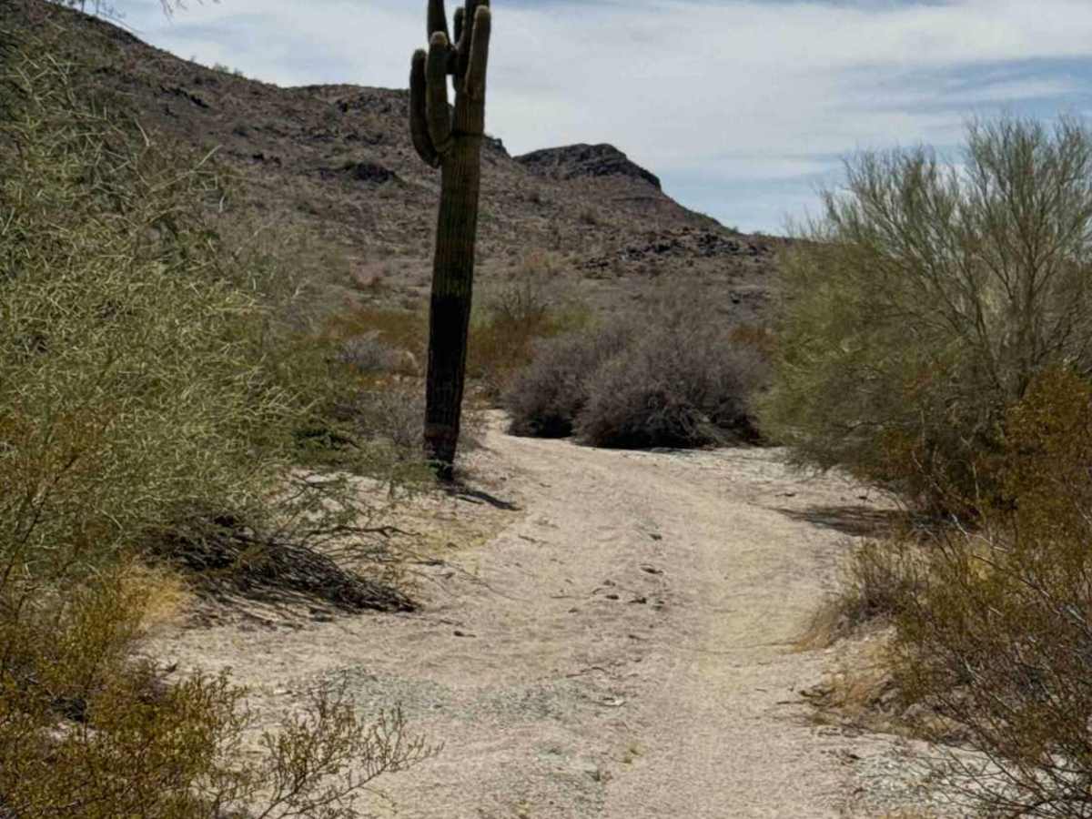
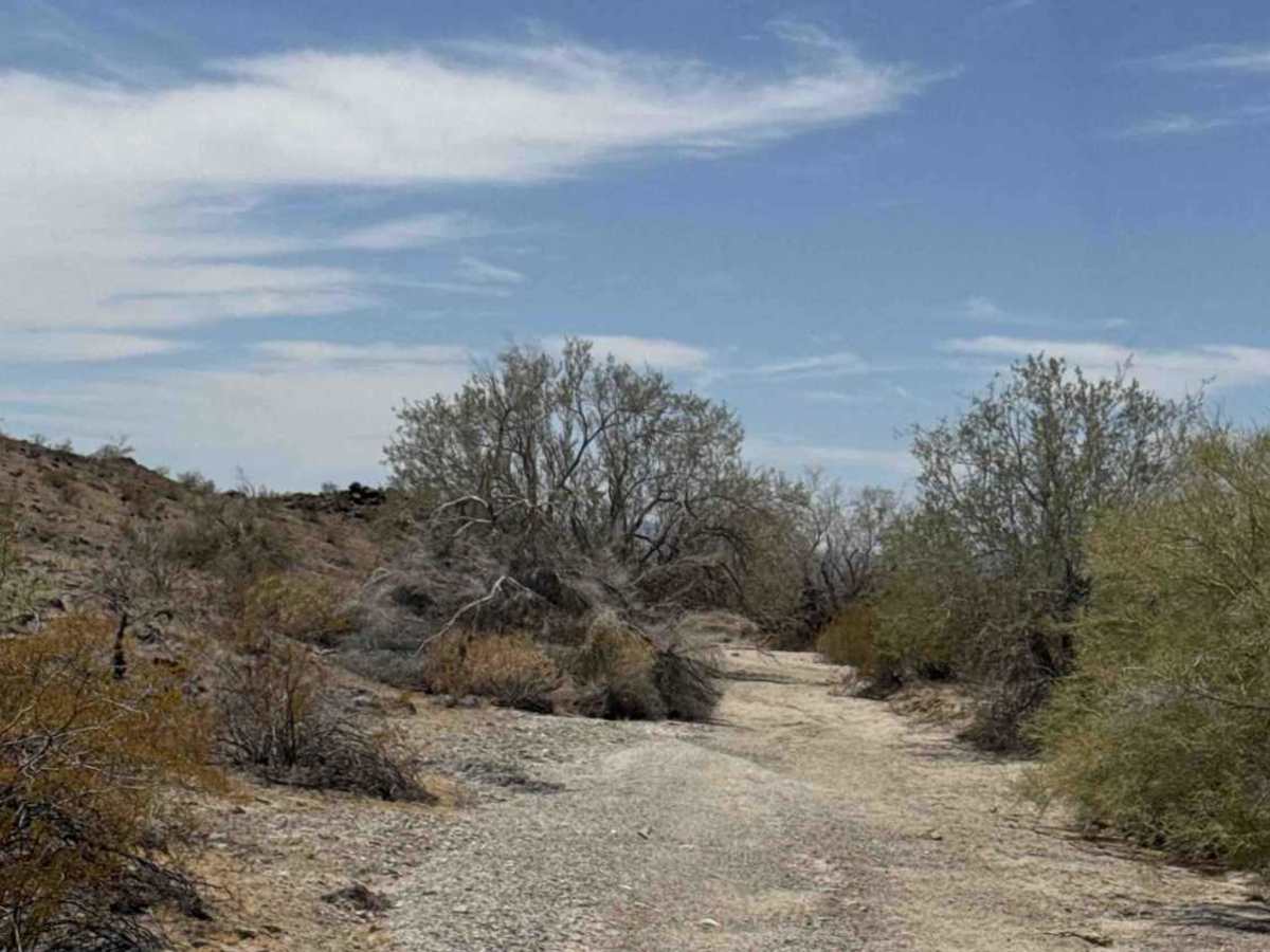
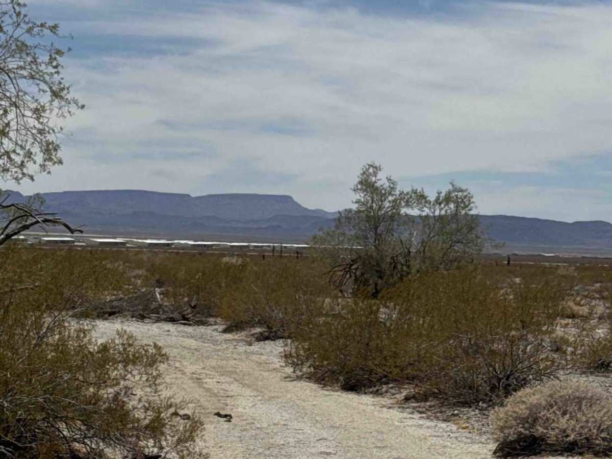
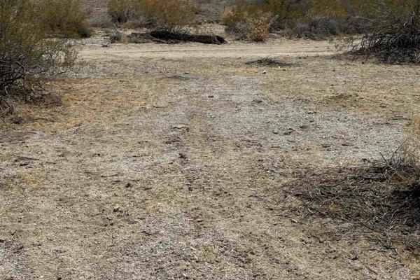
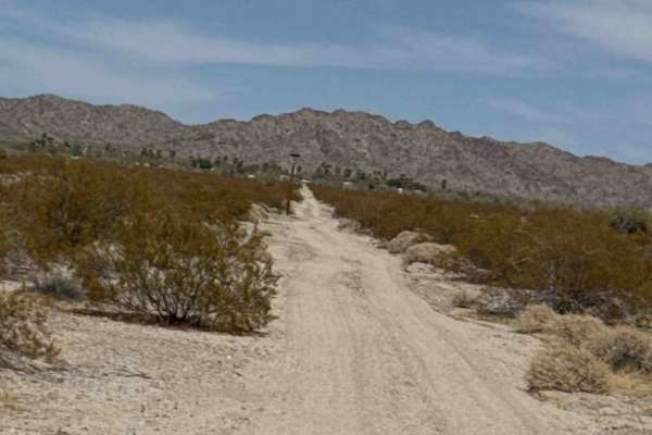
This trail can be run as an out-and-back or combined with other trails that loop around the base of the mountain. Expect small ruts and washouts throughout the route, so watch your speed. A few tight sections are lined with palo Verde trees and creosote, with the occasional stray branch reaching into the trail. The route is mostly sand in a wash with a few loose rocks and scattered saguaros along the way. Early in the trail, you'll pass a small hill covered with short side trails that create a fun playground-type area to explore.
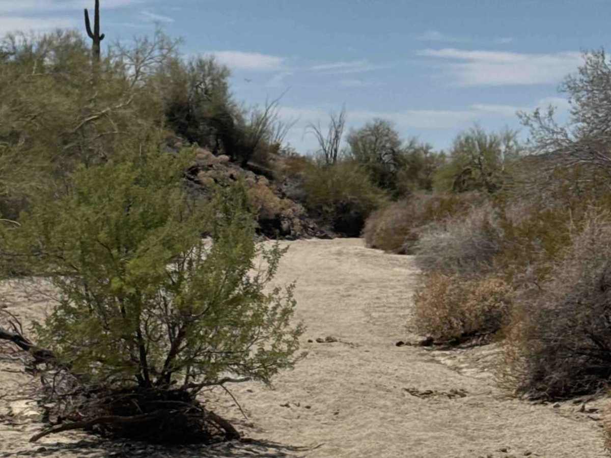
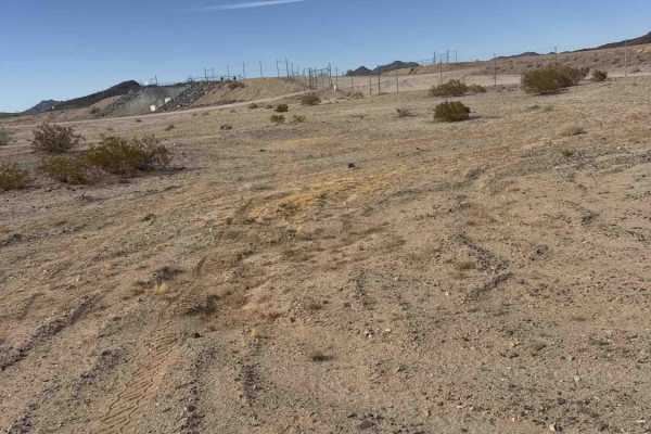
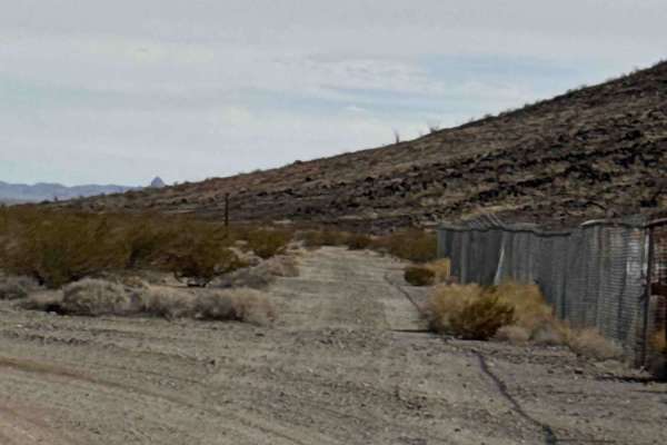
Beyond the playground, the wash continues around the base of the mountain as the sand gradually becomes softer and deeper. There are no major obstacles or technical sections, but wheel placement and steady momentum are key in the deeper sand. Continue following the easy-to-navigate wash around the base of the mountain to the next intersection; stay left. Previous access to the highway has been fenced off, with no legal access observed at the time of mapping. The final visible section toward the highway transitions to a lava-rock base with loose rocks up to 6 inches in size.
Difficulty
Mostly sandy wash terrain with small ruts, washouts, and increasingly soft, deeper sand. No obstacles to note or technical areas, but steady momentum, careful wheel placement, and controlled speed are important in the deeper sand and tighter overgrown sections.