Trail Overview
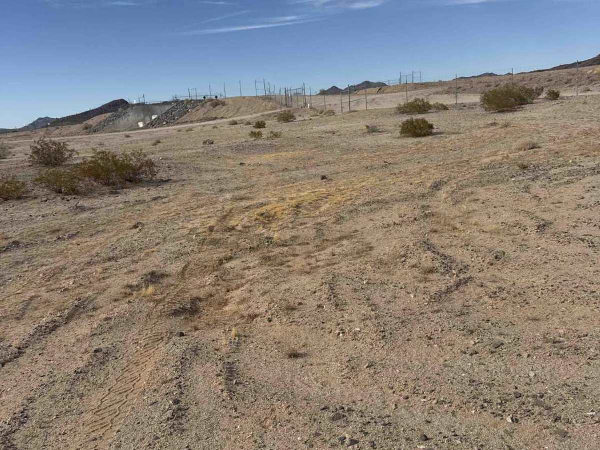
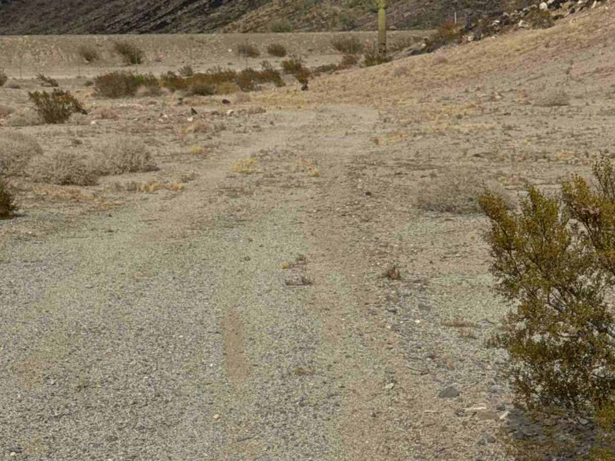
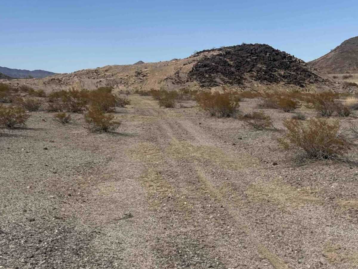
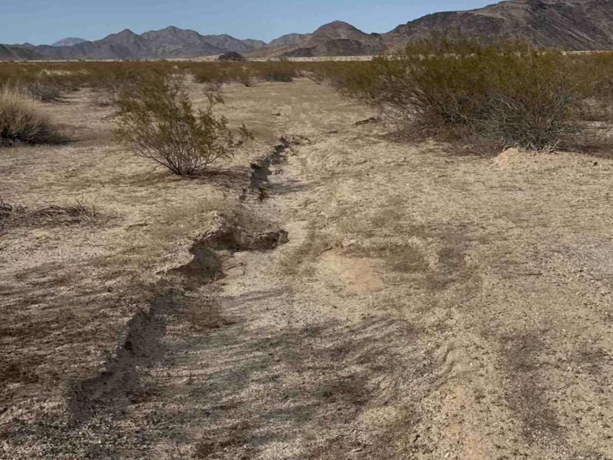
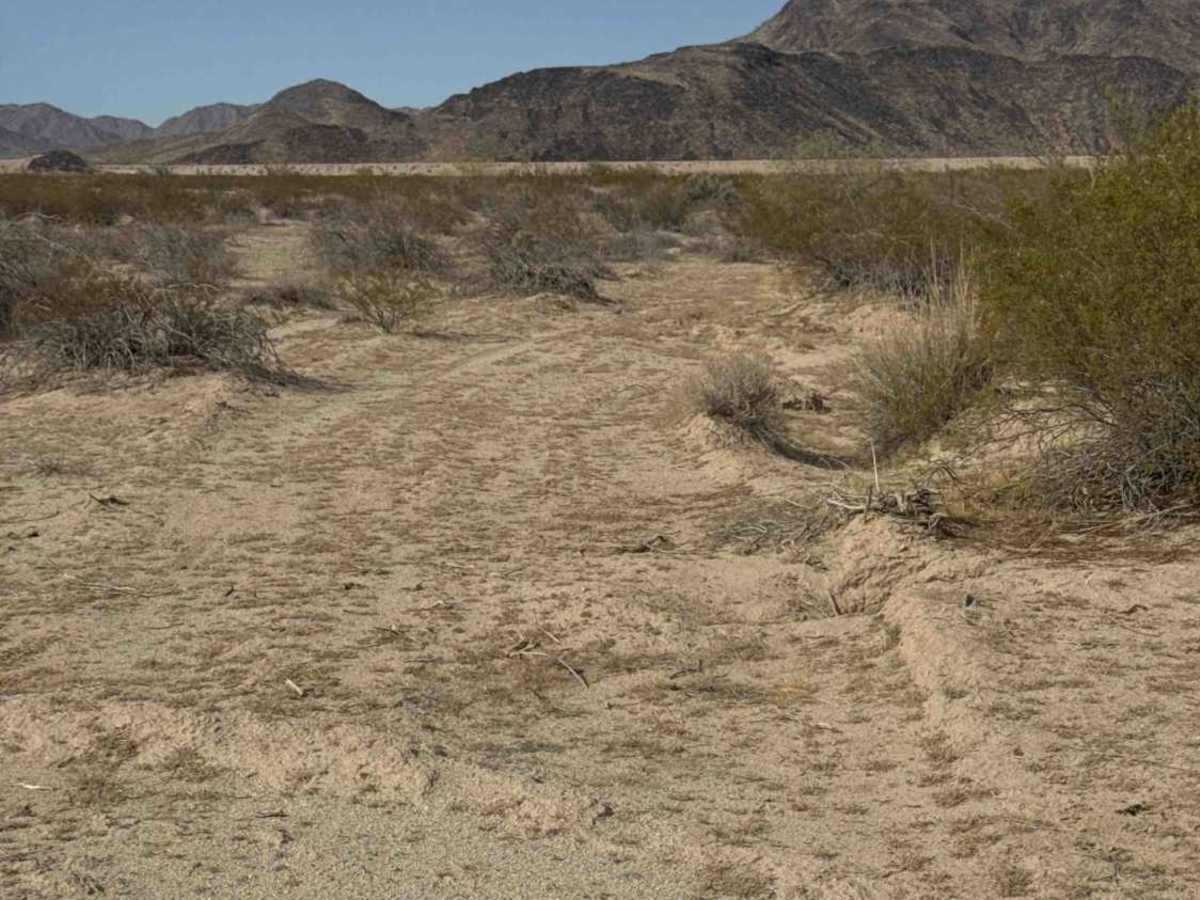
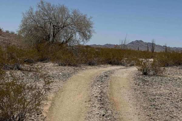
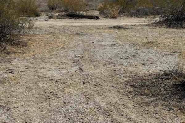
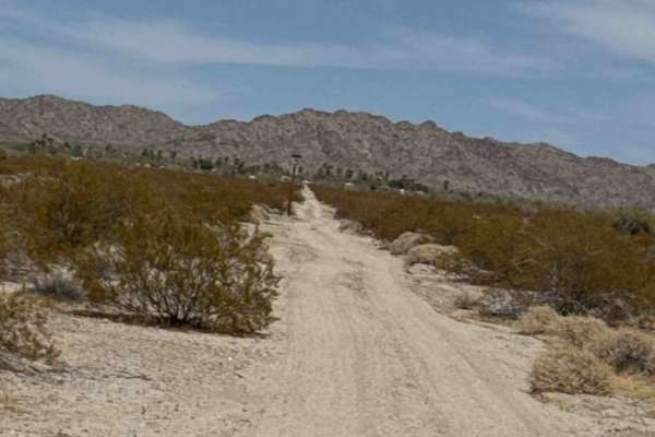
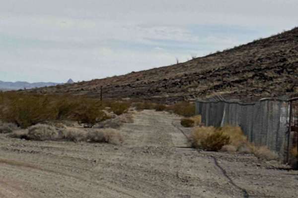
Comfort Zone Trail is one of the longest trail stretches in the riding area behind the canal. Accessible from Passmore Gas and from Hs77k and connects to several trail sections and spur routes along the way. Expect sandy trails, rolling whoops, ruts, and desert terrain. There is a small hill area that provides a great place to explore vehicle capability and test how steep your personal comfort zone is. The surrounding landscape is lined with desert creosote and scattered saguaros. This is a great area to learn, practice, and simply turn loose and ride. With a large open desert riding area and multiple trail options.
Difficulty
Sand, whoops, ruts, and frequent terrain transitions require basic off-road control. Optional hill sections allow drivers and riders to test their comfort level, but no technical obstacles are required on the trail.