
Dirt Bike Trails
Near Trinidad, Colorado
Explore All Dirt Bike Trails Near Trinidad, Colorado
Dirt Bike Trails Near Trinidad, Colorado
Discover the best dirt bike trails near you. Browse trail maps, check difficulty ratings, and find your next adventure — whether you're looking for a quick ride or an all-day expedition.
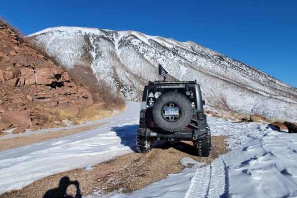
Old La Veta Pass
This trail is an old train route that connected the east and west sides of the Sangre de Cristo mountains until the 1960s when the highway was put in. It is now an unmaintained road with no obstacles. There are several spots where you will traverse over the old paved road that has become little more...
Learn more about Old La Veta Pass
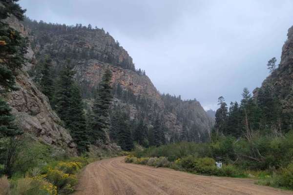
Valle Vidal - FR 1950
This route is a beautiful forest road that takes you into the Carson National Forest/Sangre De Christo Mountains. The beginning of the trail immediately kicks off with stunning, towering rock cliffs on either side as you follow the Costilla Creek up the canyon. For the first few miles, you'll pass t...
Learn more about Valle Vidal - FR 1950
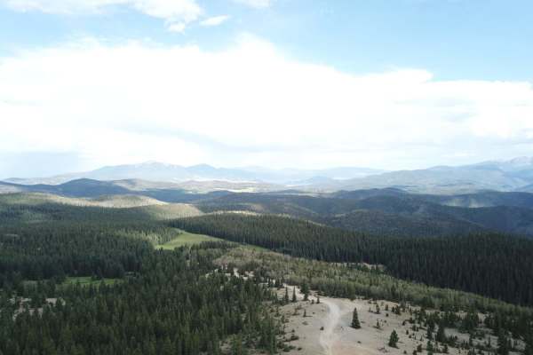
Sawmill Greenie
Sawmill Greenie is a scenic 9.3-mile point-to-point trail starting in Red River, New Mexico, that offers offroaders an alternative, winding route up to the high-altitude panoramic views of Greenie Peak. Perfect for moderately equipped four-wheel-drive vehicles and SxSs, this route begins as a wide, ...
Learn more about Sawmill Greenie
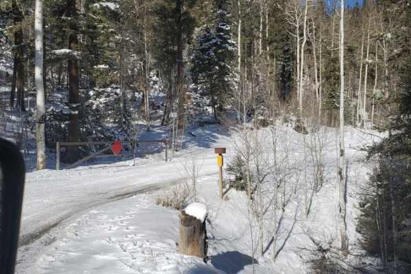
Greenie East
Greenie East is a moderately challenging 4.4-mile off-road trail near Red River, New Mexico, ideal for intermediate drivers looking for an alternative route to the high-elevation ridges of the Carson National Forest. Beginning in Mallette Canyon, this unpaved dirt route diverges from the Sawmill Tra...
Learn more about Greenie East
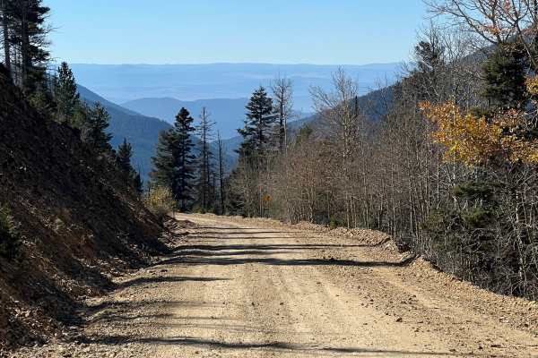
Sawmill
This is a rough and rocky mountain road that climbs high into the mountains of Carson National Forest. The route is generally easy with no technical obstacles and can be traveled in either direction. It offers excellent scenery and connects with several other notable off-road trails in the Red River...
Learn more about Sawmill
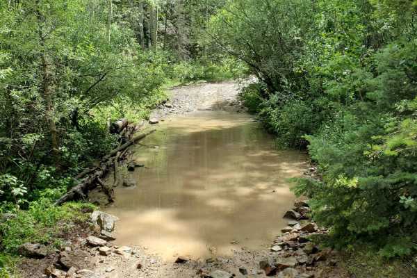
Pioneer Creek
Pioneer Creek Trail leaves from Red River behind the ski resort and then follows the canyon up. There are some large loose rocks towards the end and four water crossings where the trail crosses the creek. Although the map shows the trail goes further, it has been closed where the track ends, and a l...
Learn more about Pioneer Creek
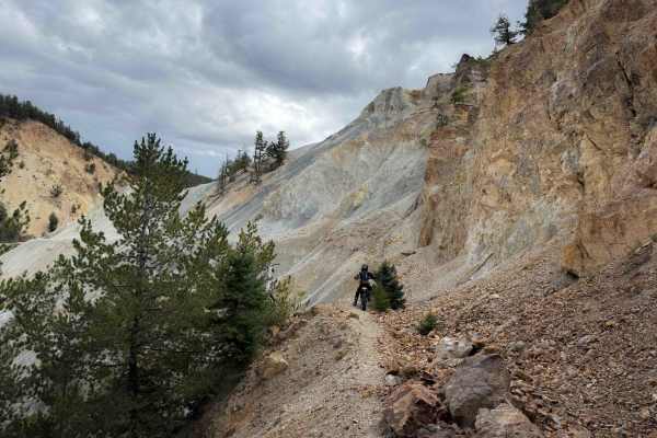
FS 195B
FS 195B is an advanced trail that should only be attempted by highly experienced and confident riders comfortable with exposed side-hilling and route finding. Before attempting this trail, riders should note that it does not seem to connect to Sawmill Road - FS 597 on the north end as the map shows....
Learn more about FS 195B
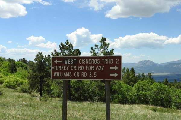
Turkey Creek Forest Road 637
This is an easy winding road that has a few rocky spots that are easy to get around. The road takes you through open meadows and then through forest areas. It has nice views across the Wet Mountain Valley and of the Sangre de Cristo mountain range. During the summer months, there are a lot of cows g...
Learn more about Turkey Creek Forest Road 637
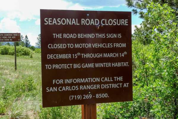
Salt Creek Forest Road 409
At this point, the road changes from an east road to more of a 4x4 road. It becomes steeper, narrower, and more rocky at the beginning. As you get higher up, it levels out some and is less rocky. You will travel through forested areas and some open areas. Towards the top, you will get into a firewoo...
Learn more about Salt Creek Forest Road 409
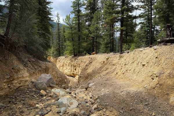
FS 195S Primitive Trail
This section of 195S is a primitive and advanced section of trail that has severe flooding damage that has caused massive washouts that will be impassable for the average rider. For those who dare, there are a few faint tracks to follow through the wash outs, but it does not appear to connect anymor...
Learn more about FS 195S Primitive Trail
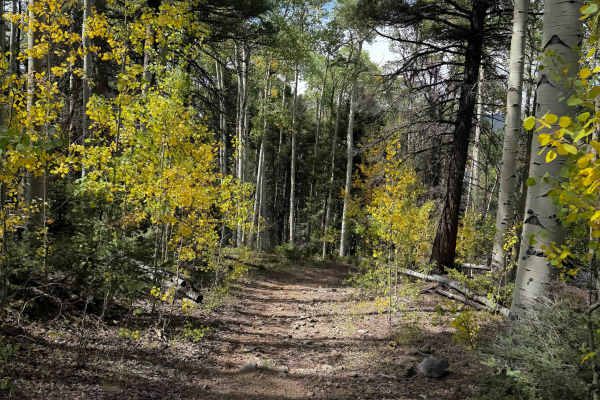
FS 195 Alternate
This is a 1.4-mile-long dirt bike trail that parallels the main Elephant Rock Trail - FS 195. On the west end, it starts at an intersection with FS 195 where the signs indicate that FS 195 goes to a photo opportunity, while this trail goes left instead. This route is very defined and easy to follow,...
Learn more about FS 195 Alternate
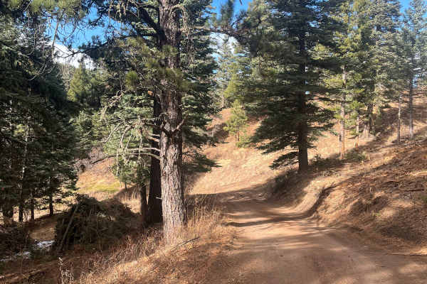
San Carlos Road
This trail is a short, easy out-and-back route that winds through the small elevation changes of the Wet Mountain foothills and offers a good chance of isolation. It contains no major obstacles or water crossings, making it approachable for most users. Ongoing timber work in 2025 has cleared underbr...
Learn more about San Carlos Road
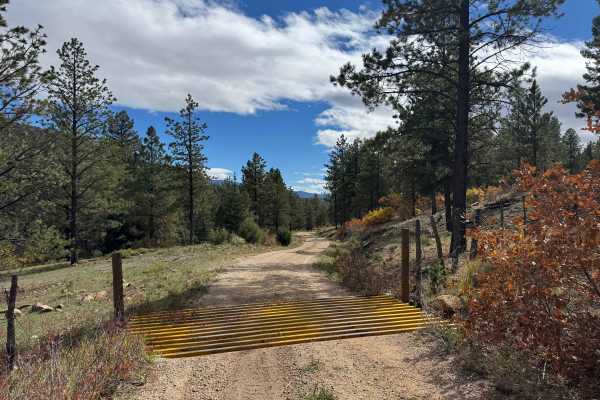
FS 630
This is a scenic transition road connecting FS 630 on the northwest end to the southeast, where you can continue out of the mountains via Highway 69. The route is generally mild and should be accessible to most vehicles without 4WD in dry conditions. The road features gentle climbs and descents, wit...
Learn more about FS 630

FS 195W
FS 195W is a short access trail into the Elephant Rock trail system, but this is not the main entrance into the system, and riders will need to be street legal to connect to it on Highway 38. It starts as a wide road-width trail on pea-gravel that climbs up into the forest from the highway. It is un...
Learn more about FS 195W

FS 195M
FS 195M is a fun and challenging dirt bike trail in the Elephant Rock trail system near Questa, New Mexico. Out of all of the trails in the system, this one feels most like a single track, as it is narrower. Like most of the trails in the system, it is an old mining shelf road, but it is very narrow...
Learn more about FS 195M

FS 195O
FS 195O is an old mining road that is now a dirt bike trail in the Elephant Rock trail system. It’s an old shelf road that is cut into the mountain side, that is now very narrow. The trail is mostly decomposed granite, with a layer of small loose rocks, riding across hillsides of gambel oak, pondero...
Learn more about FS 195O
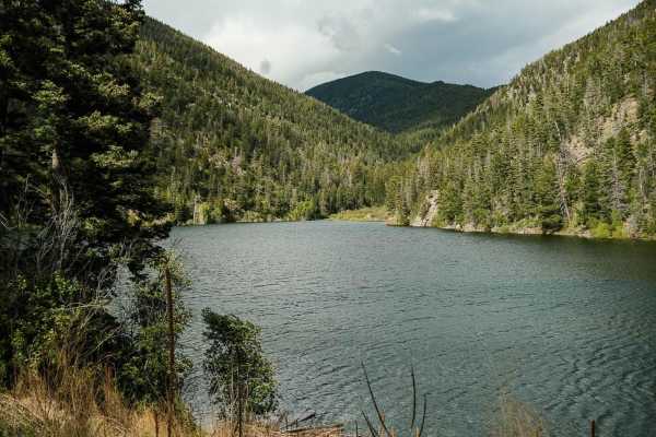
Cabresto Lake - FS 134A
Forest Service Road 134A is a steep, rocky road that leads to Cabresto Lake; it's a beautiful mountain lake surrounded by the high peaks of Carson National Forest. The trail is narrow and consists of sharp rocks no larger than 12 inches in height. High-clearance 4x4 is recommended but high-clearance...
Learn more about Cabresto Lake - FS 134A
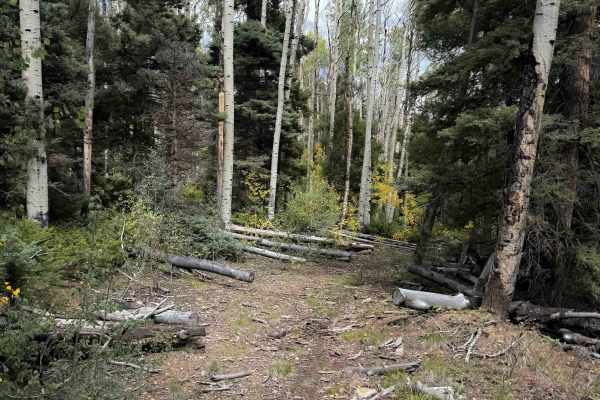
FS 195 Connector
The FS 195 Connector Trail is a quarter-mile-long dirt bike trail that connects FS 195S and the main Elephant Rock Trail 195. It goes through a narrow forested tree corridor of aspens that are really pretty in fall when the leaves start to change color. The north entrance is unmarked off of FS 195, ...
Learn more about FS 195 Connector
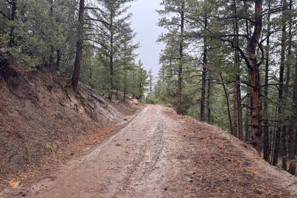
FS 635
This out-and-back route begins off FS 634 and climbs all the way to the top of Black Mountain, offering incredible scenery and a variety of mountain landscapes along the way. The route covers considerable mileage and passes numerous intersections and spur roads, so pay attention to navigation to ens...
Learn more about FS 635
FS 440
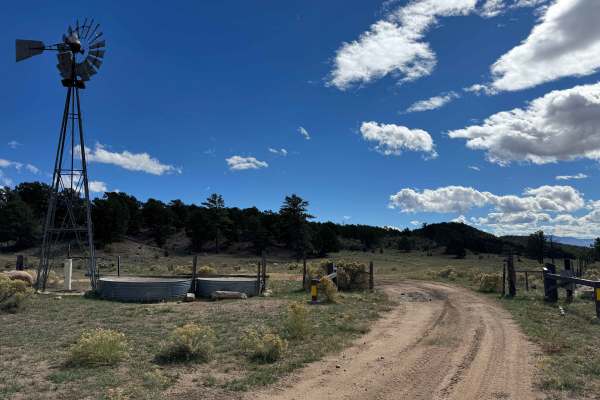
This route begins near a sizable dispersed camping area where multiple roads cross through open, relatively flat terrain, providing several established camping spots. Dispersed camping is limited to areas within the permitted distance from designated roads, so be sure to follow posted regulations wh...
Learn more about FS 440
ATV trails near Trinidad, Colorado
Explore ATV-friendly trails near you. These trails are accessible for vehicles up to 50 inches wide, perfect for ATVs and smaller off-road machines.
Old La Veta Pass
This trail is an old train route that connected the east and west sides of the Sangre de Cristo mountains until the 1960s when the highway was put in. It is now an unmaintained road with no obstacles. There are several spots where you will traverse over the old paved road that has become little more...
Learn more about Old La Veta Pass
Valle Vidal - FR 1950
This route is a beautiful forest road that takes you into the Carson National Forest/Sangre De Christo Mountains. The beginning of the trail immediately kicks off with stunning, towering rock cliffs on either side as you follow the Costilla Creek up the canyon. For the first few miles, you'll pass t...
Learn more about Valle Vidal - FR 1950
Sawmill Greenie
Sawmill Greenie is a scenic 9.3-mile point-to-point trail starting in Red River, New Mexico, that offers offroaders an alternative, winding route up to the high-altitude panoramic views of Greenie Peak. Perfect for moderately equipped four-wheel-drive vehicles and SxSs, this route begins as a wide, ...
Learn more about Sawmill Greenie
Greenie East
Greenie East is a moderately challenging 4.4-mile off-road trail near Red River, New Mexico, ideal for intermediate drivers looking for an alternative route to the high-elevation ridges of the Carson National Forest. Beginning in Mallette Canyon, this unpaved dirt route diverges from the Sawmill Tra...
Learn more about Greenie East
UTV/side-by-side trails near Trinidad, Colorado
Find UTV and side-by-side trails near you. These trails accommodate vehicles up to 60 inches wide, ideal for UTVs, side-by-sides, and wider off-road rigs.
Old La Veta Pass
This trail is an old train route that connected the east and west sides of the Sangre de Cristo mountains until the 1960s when the highway was put in. It is now an unmaintained road with no obstacles. There are several spots where you will traverse over the old paved road that has become little more...
Learn more about Old La Veta Pass
Valle Vidal - FR 1950
This route is a beautiful forest road that takes you into the Carson National Forest/Sangre De Christo Mountains. The beginning of the trail immediately kicks off with stunning, towering rock cliffs on either side as you follow the Costilla Creek up the canyon. For the first few miles, you'll pass t...
Learn more about Valle Vidal - FR 1950
Sawmill Greenie
Sawmill Greenie is a scenic 9.3-mile point-to-point trail starting in Red River, New Mexico, that offers offroaders an alternative, winding route up to the high-altitude panoramic views of Greenie Peak. Perfect for moderately equipped four-wheel-drive vehicles and SxSs, this route begins as a wide, ...
Learn more about Sawmill Greenie
Sawmill
This is a rough and rocky mountain road that climbs high into the mountains of Carson National Forest. The route is generally easy with no technical obstacles and can be traveled in either direction. It offers excellent scenery and connects with several other notable off-road trails in the Red River...
Learn more about Sawmill
The onX Offroad Difference
onX Offroad combines trail photos, descriptions, difficulty ratings, width restrictions, seasonality, and more in a user-friendly interface. Available on all devices, with offline access and full compatibility with CarPlay and Android Auto. Discover what you're missing today!
Open Trail Map