Trail Overview
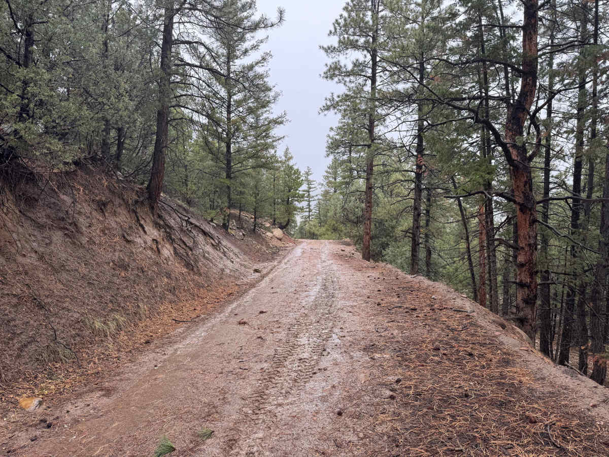
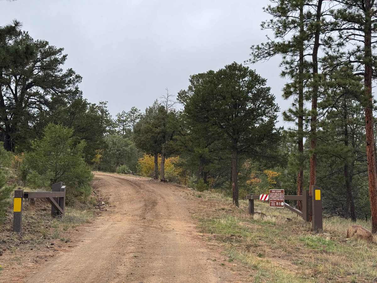
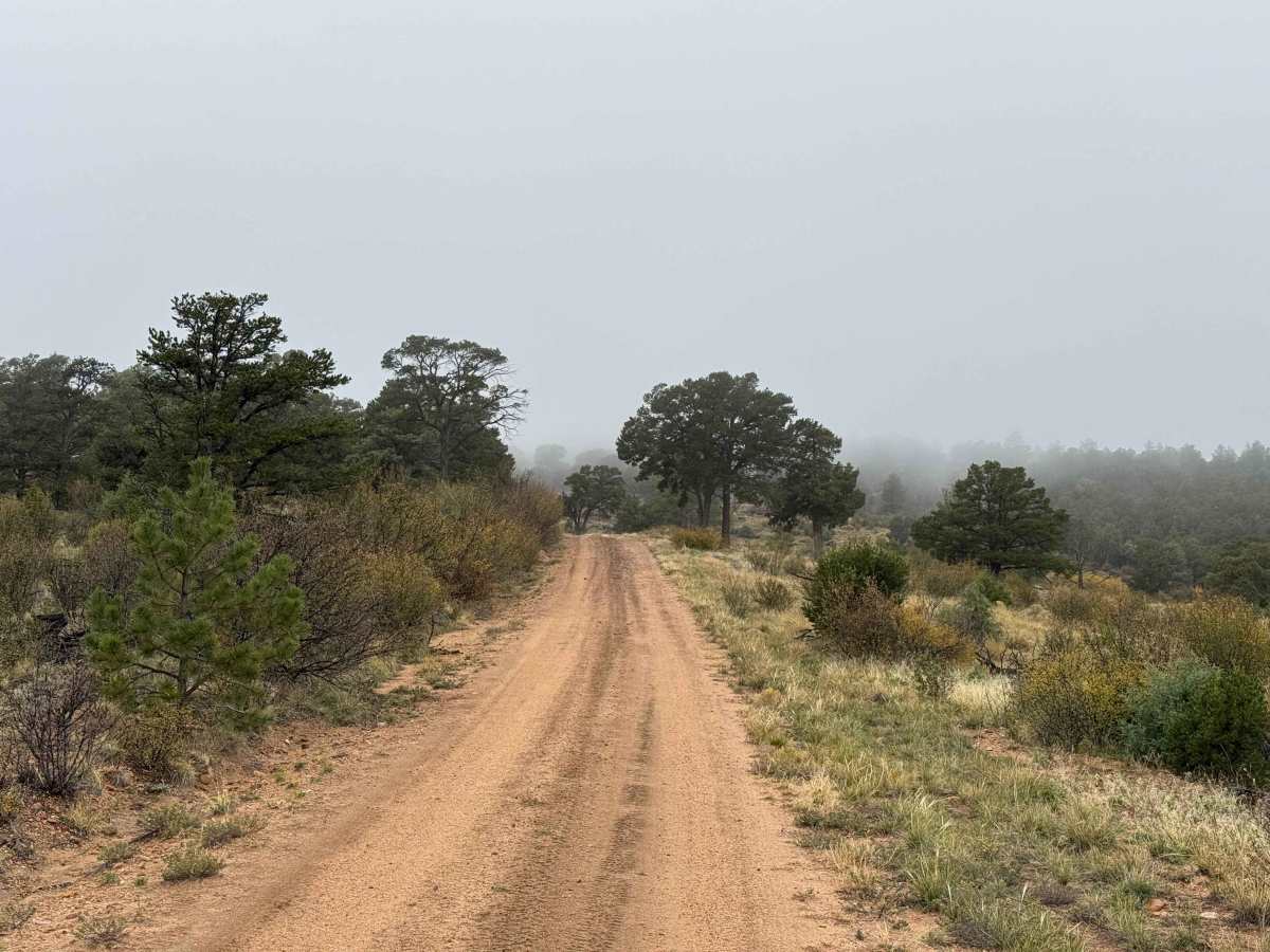
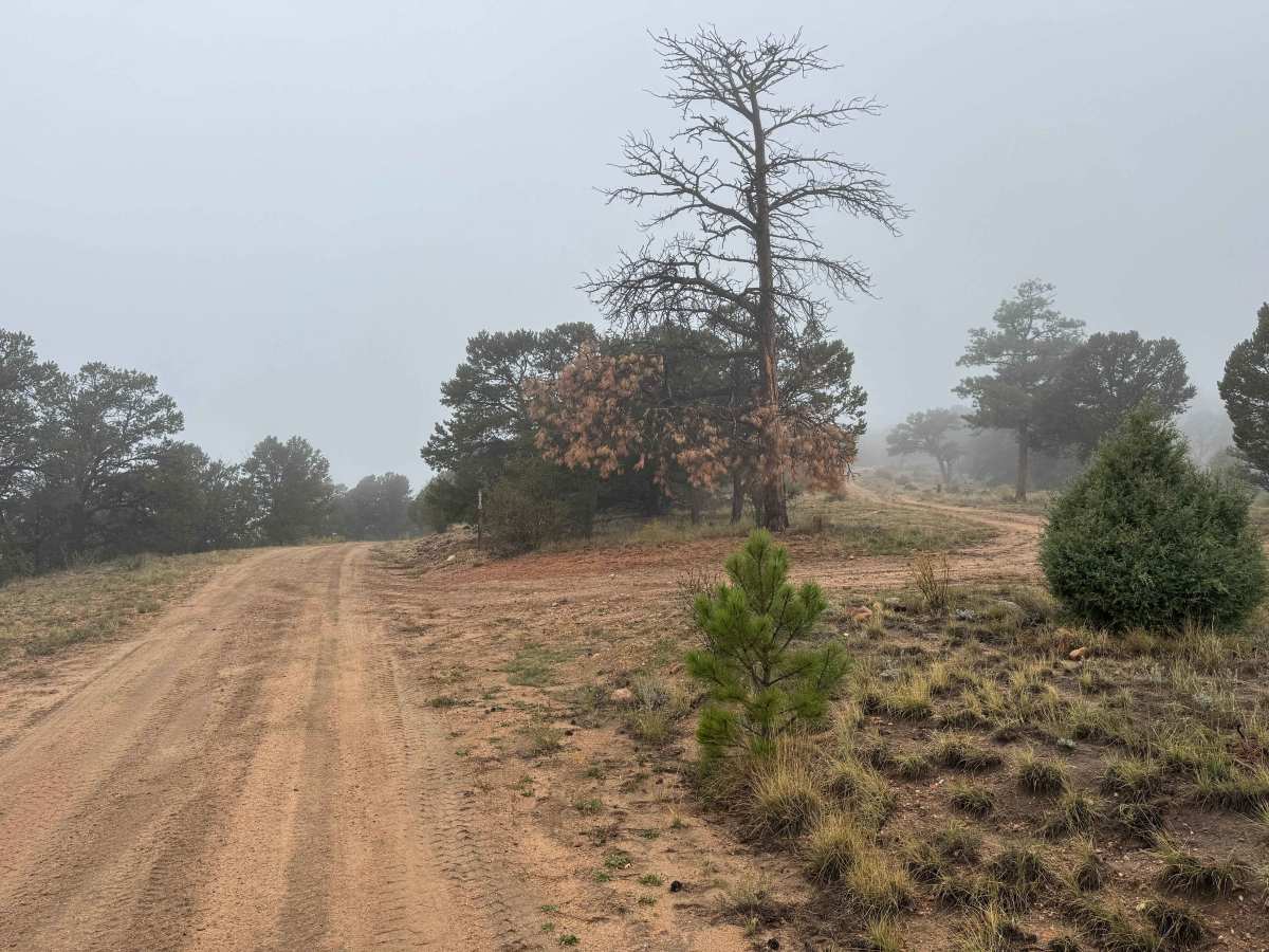
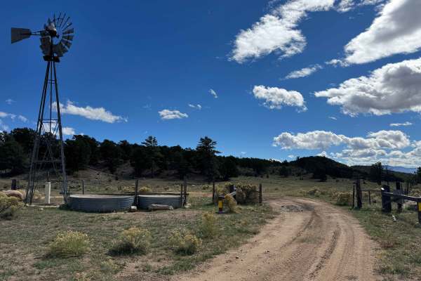
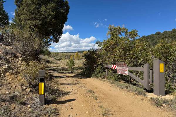
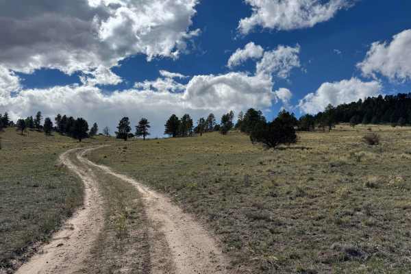
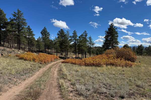
This out-and-back route begins off FS 634 and climbs all the way to the top of Black Mountain, offering incredible scenery and a variety of mountain landscapes along the way. The route covers considerable mileage and passes numerous intersections and spur roads, so pay attention to navigation to ensure you stay on the main track. Much of the trail consists of narrow shelf roads and switchbacks, with some sections featuring moderate exposure that require careful driving and attention to vehicle placement. Use caution around corners, particularly where water crosses the road, as these areas can become slippery and may conceal loose material or erosion. As you gain elevation, the scenery transitions through different mountain environments before opening into a series of beautiful alpine meadows. These meadows provide excellent opportunities to spot deer, elk, and other wildlife native to the area. Near the end, the route passes through a fence onto BLM-managed land before terminating near the summit of Black Mountain. This is a rewarding drive with outstanding views, but the narrow roads, exposure, and changing conditions warrant a cautious approach throughout the journey.
Difficulty
This trail is not particularly difficult in dry conditions, with no significant obstacles or rock ledges exceeding approximately 12 inches in height. Most rocks and other obstacles can be easily navigated around, making the route manageable for a variety of vehicles with appropriate clearance. However, wet conditions can significantly increase the difficulty, especially along the narrow shelf-road sections with tight hairpin turns. Water runoff can erode these areas, creating uneven surfaces and potentially compromising traction and stability along exposed sections. When these conditions are present, use extreme caution, and 4WD is strongly recommended for maintaining traction and safely navigating the affected areas.
History
The trails and forest roads throughout the southern San Isabel National Forest and the Wet Mountains have a long history tied to ranching, logging, mining, and early mountain settlement in southern Colorado. Many of the routes that visitors travel today began as access roads for ranchers moving livestock, logging operations harvesting timber, and prospectors exploring the surrounding mountains for valuable minerals. Over time, these roads developed into a network connecting remote valleys, mountain meadows, creek drainages, and historic homesteads. The region’s rugged terrain and changing elevations made these routes important for accessing isolated areas and managing the surrounding forest. Today, many roads are maintained for forest management and public recreation, providing access for 4WD vehicles, ATVs, SxS, hikers, hunters, and campers. As you travel these routes, you may encounter old roadbeds, historic ranching areas, and remnants of the region’s working past. The San Isabel National Forest was established in 1902, and its public lands continue to preserve the area’s natural resources and outdoor heritage.