Trail Overview
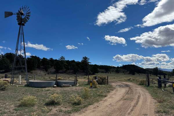
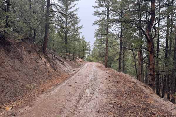
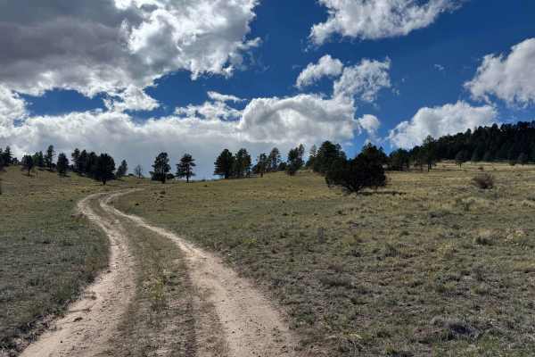
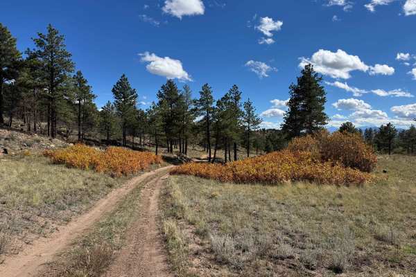
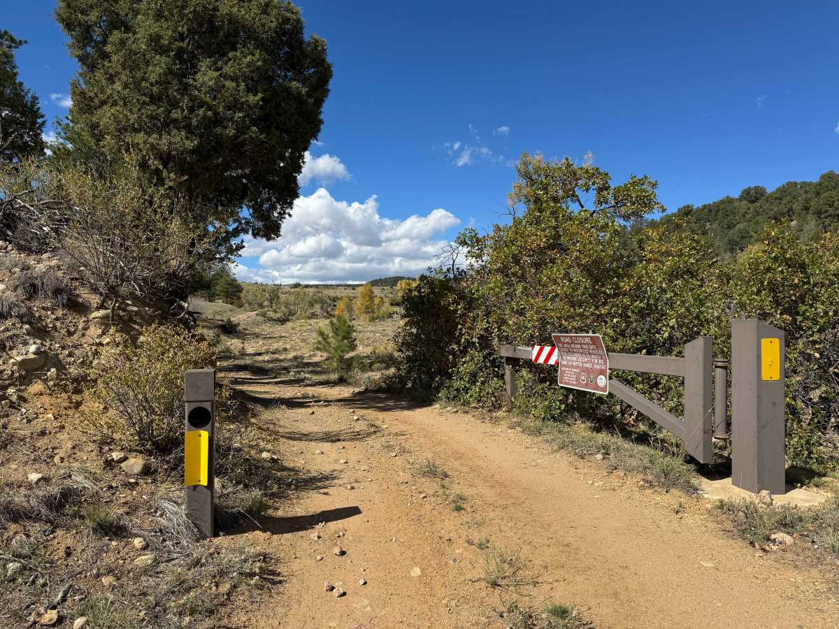
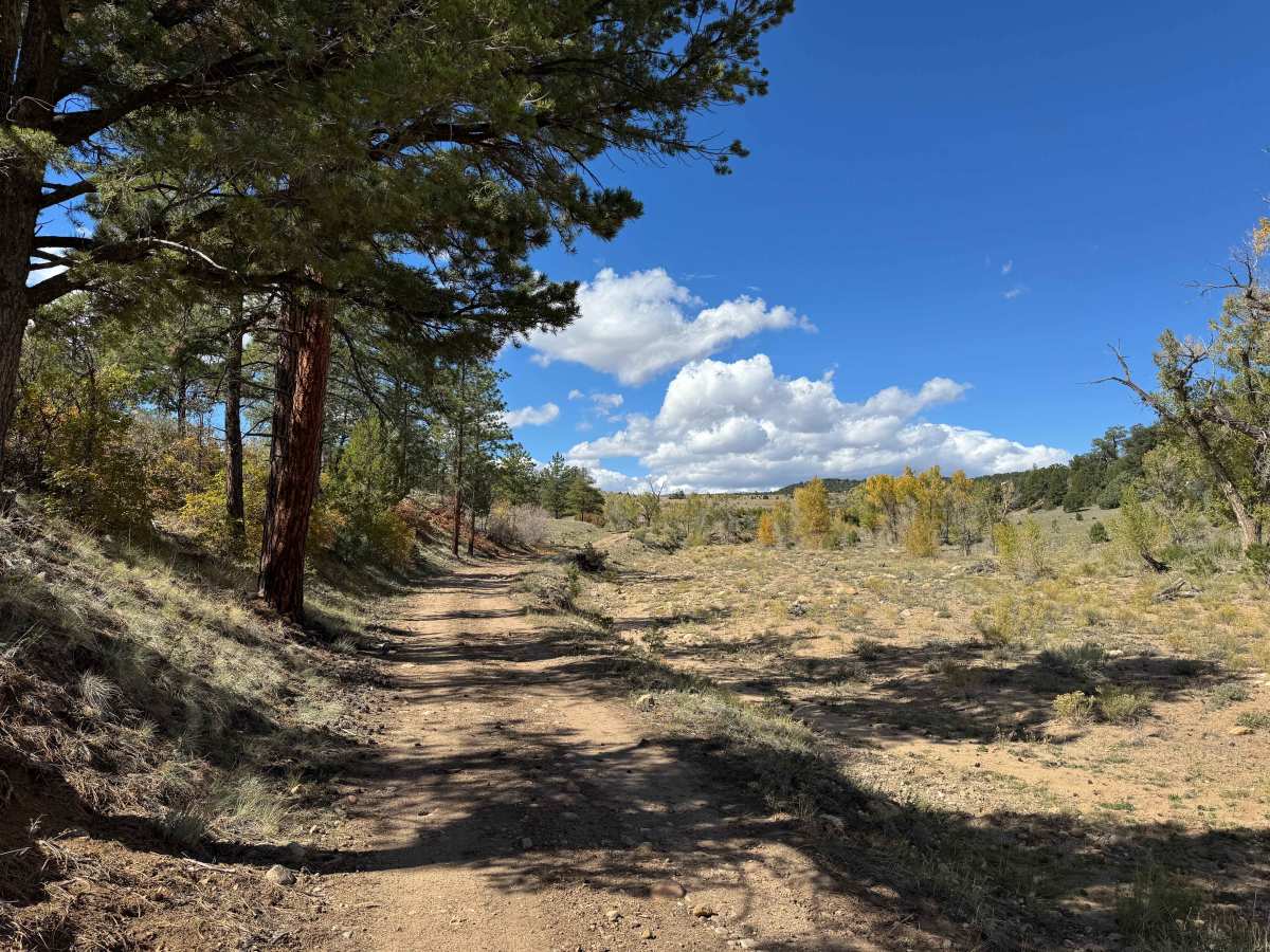
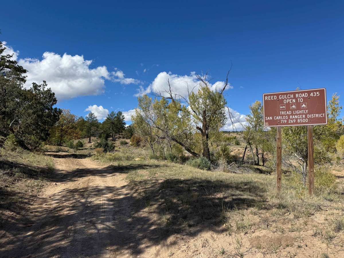
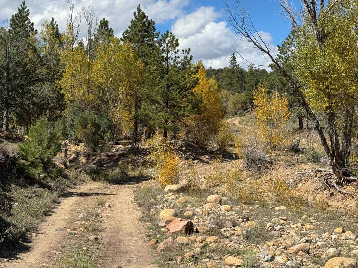
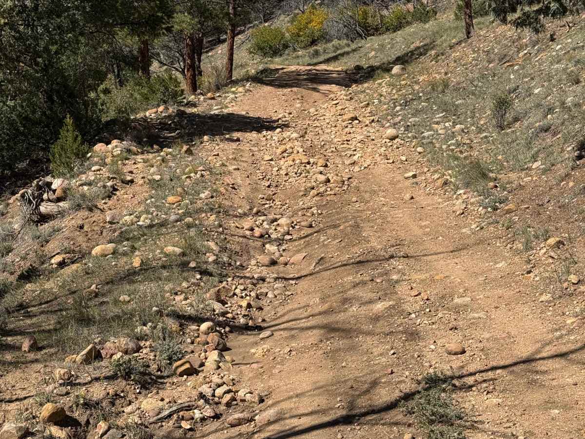
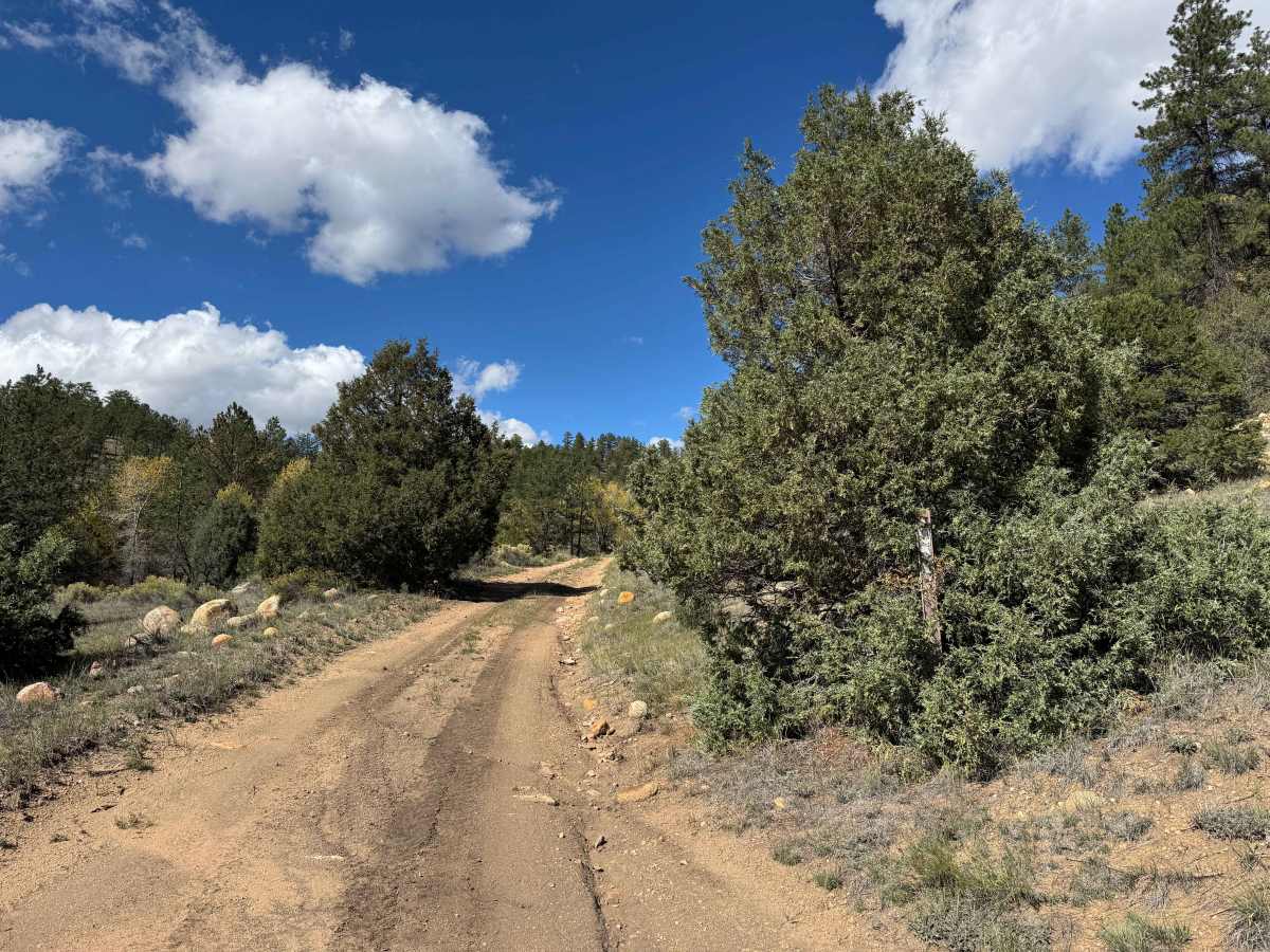
This route follows Reed Creek on a slow, gentle climb, gaining approximately 1,200 feet in elevation before ending at a gate marking private property. It is a popular route for ATVs, SxS, and other off-road vehicles, offering a scenic and enjoyable drive with a relatively smooth surface and no particularly difficult sections. Watch for water bars crossing the road, as some are steep and may pose a challenge for low-clearance vehicles. As you climb higher, the landscape transitions from high-desert terrain with low pine trees into taller pine forests and beautiful aspen groves. Reed Creek is often mostly dry during the fall, although small water crossings may be present in the spring. The area supports abundant birdlife and wildlife, and it is not uncommon to spot deer, elk, and other animals along the route. The trail ends at a gate that may or may not be locked; this marks the boundary of private property, and travel beyond the gate is not permitted without authorization.
Difficulty
In dry conditions, this is an easy trail that most vehicles should be able to navigate without difficulty. Several water bars cross the road and may pose a challenge for low-clearance vehicles, so use caution to avoid bottoming out. Otherwise, most vehicles should have no trouble completing this route.
History
The San Isabel National Forest encompasses a region shaped by Indigenous peoples, early explorers, ranchers, miners, and generations of mountain settlers. The surrounding Wet Mountains became important for ranching, timber harvesting, and access to Colorado’s developing mountain communities. Established in 1902, the San Isabel National Forest protects the area’s forests, watersheds, wildlife habitat, and scenic landscapes while preserving opportunities for public recreation and continued exploration.

 Offroad