Trail Overview
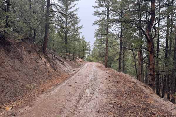
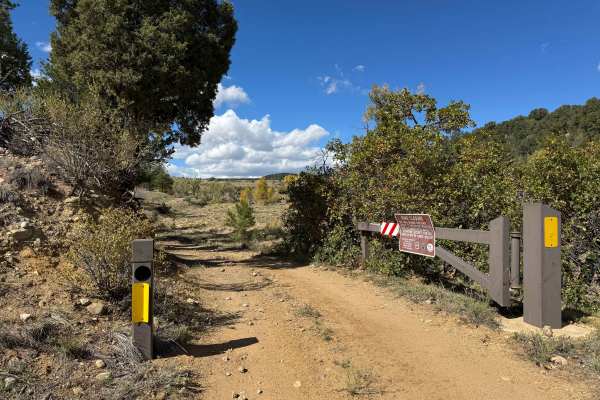
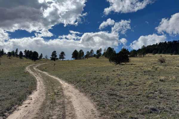
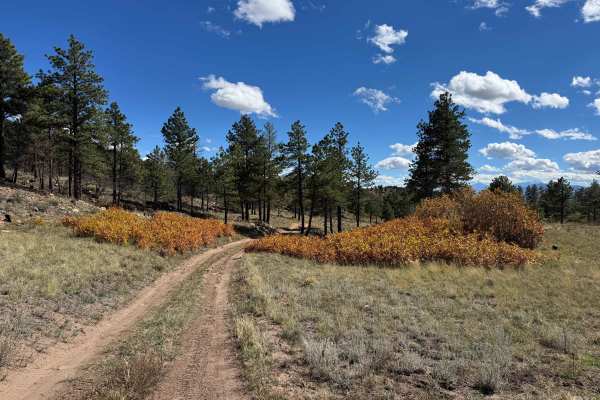
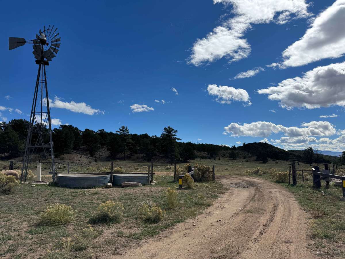
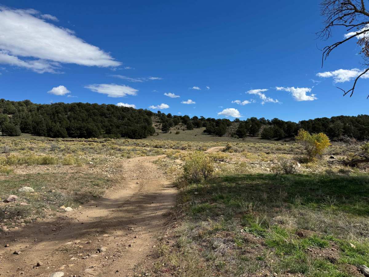
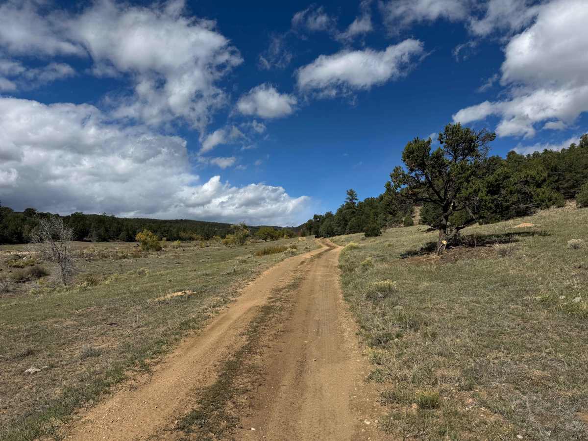
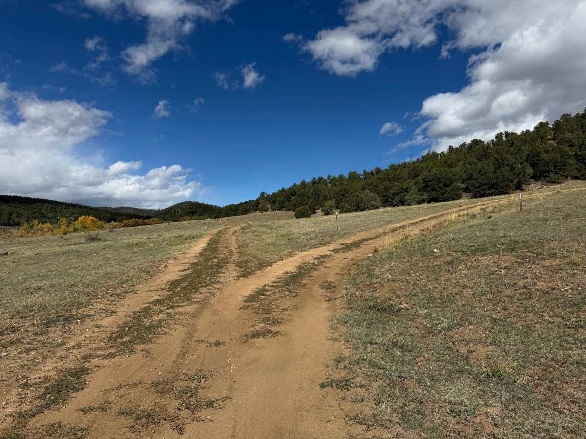
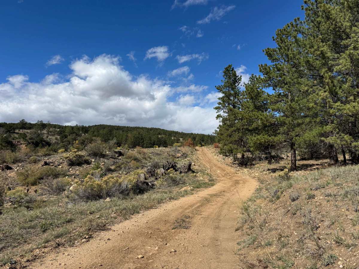
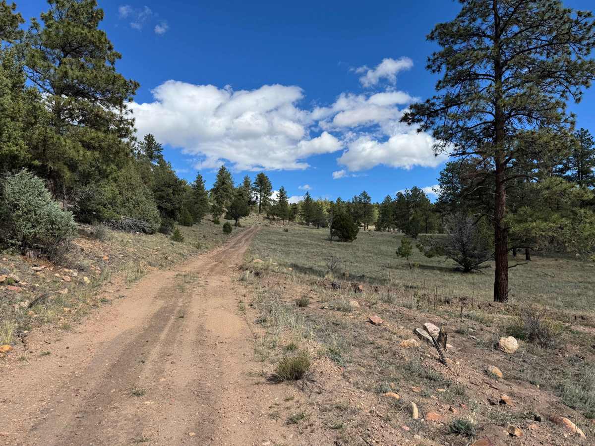
This route begins near a sizable dispersed camping area where multiple roads cross through open, relatively flat terrain, providing several established camping spots. Dispersed camping is limited to areas within the permitted distance from designated roads, so be sure to follow posted regulations when selecting a site. Starting at the signpost, the trail passes a scenic windmill before following an arroyo and gradually climbing up the valley. This area is home to large elk herds, including some impressive bulls that were spotted during mapping. The route then makes a sharp turn and begins climbing through a series of gentle switchbacks along a shelf road toward higher elevations. As you gain altitude, the trail winds through pine forests and aspen groves before opening into a series of expansive, beautiful meadows. Most of the route consists of smooth, comfortable two-track with minimal technical challenges, making it an excellent choice for beginner drivers looking to explore the area and enjoy the scenery. Near the end, you’ll reach a major intersection where the route terminates at a gate leading to private property, with other nearby routes available to explore.
Difficulty
In dry conditions, this is an easy two-track suitable for nearly any vehicle and all levels of driving experience. There are a few climbs with loose rocks and several water bars that require some attention, particularly for low-clearance vehicles. Otherwise, this is a straightforward route with minimal technical challenges.
History
The trails and forest roads throughout the southern San Isabel National Forest and the Wet Mountains have a long history tied to ranching, logging, mining, and early mountain settlement in southern Colorado. Many of the routes that visitors travel today began as access roads for ranchers moving livestock, logging operations harvesting timber, and prospectors exploring the surrounding mountains for valuable minerals. Over time, these roads developed into a network connecting remote valleys, mountain meadows, creek drainages, and historic homesteads. The region’s rugged terrain and changing elevations made these routes important for accessing isolated areas and managing the surrounding forest. Today, many roads are maintained for forest management and public recreation, providing access for 4WD vehicles, ATVs, SxS, hikers, hunters, and campers. As you travel these routes, you may encounter old roadbeds, historic ranching areas, and remnants of the region’s working past. The San Isabel National Forest was established in 1902, and its public lands continue to preserve the area’s natural resources and outdoor heritage.

 Offroad