Trail Overview
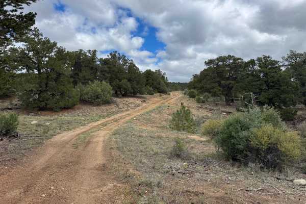
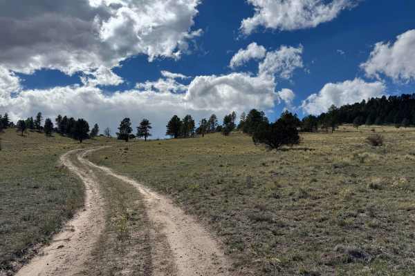
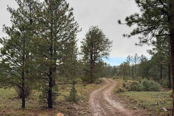
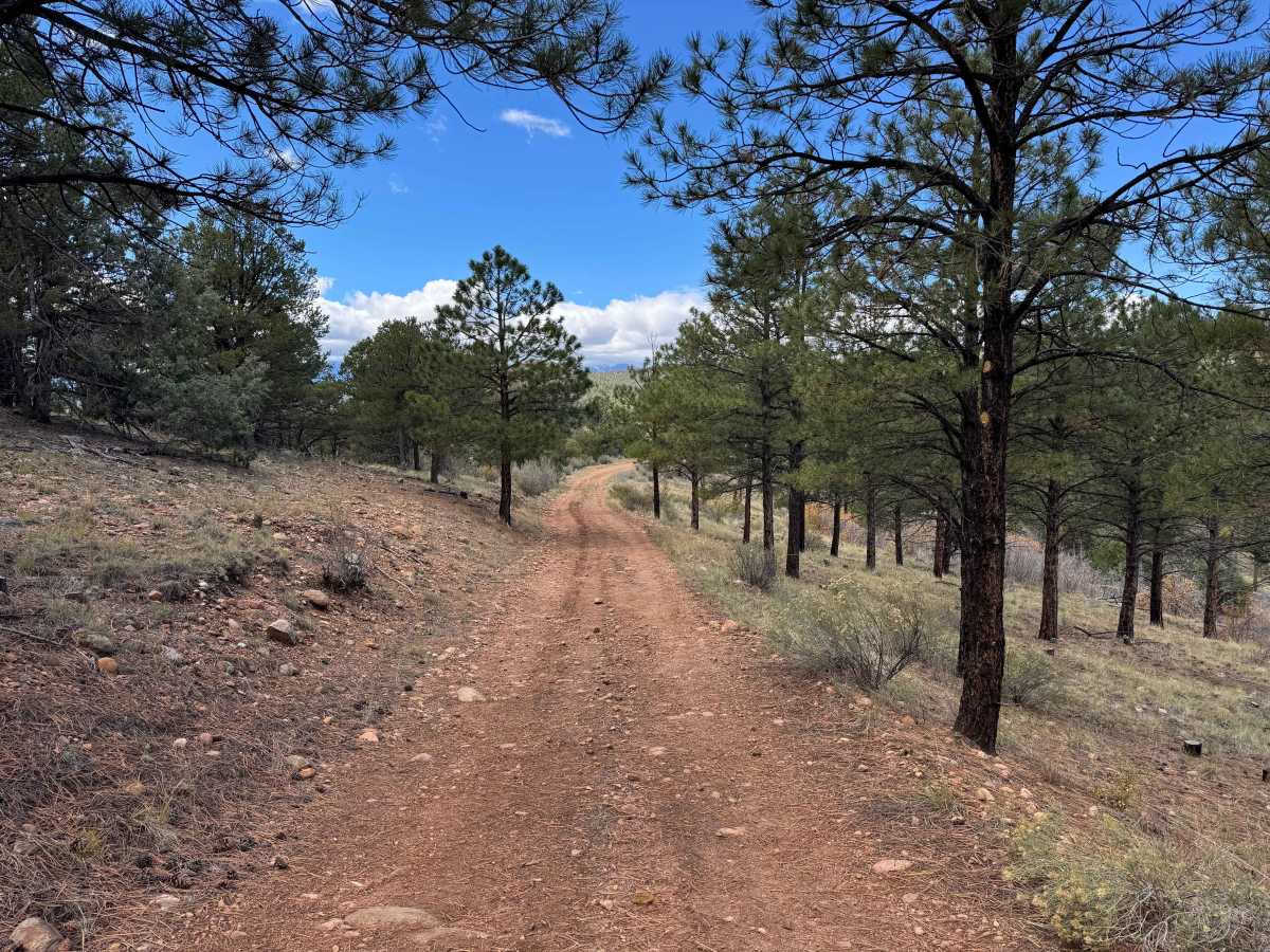
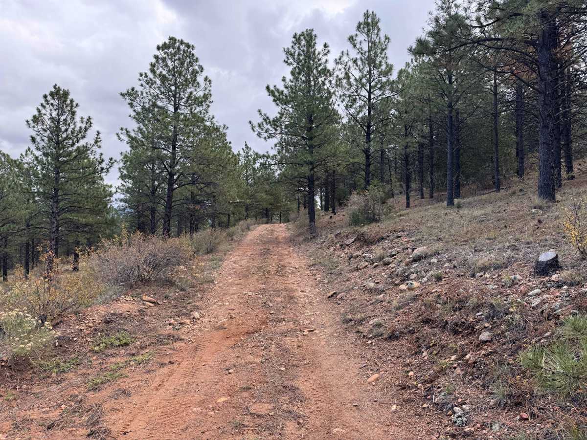
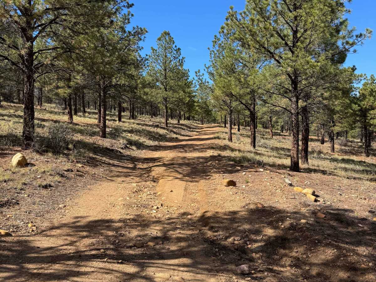
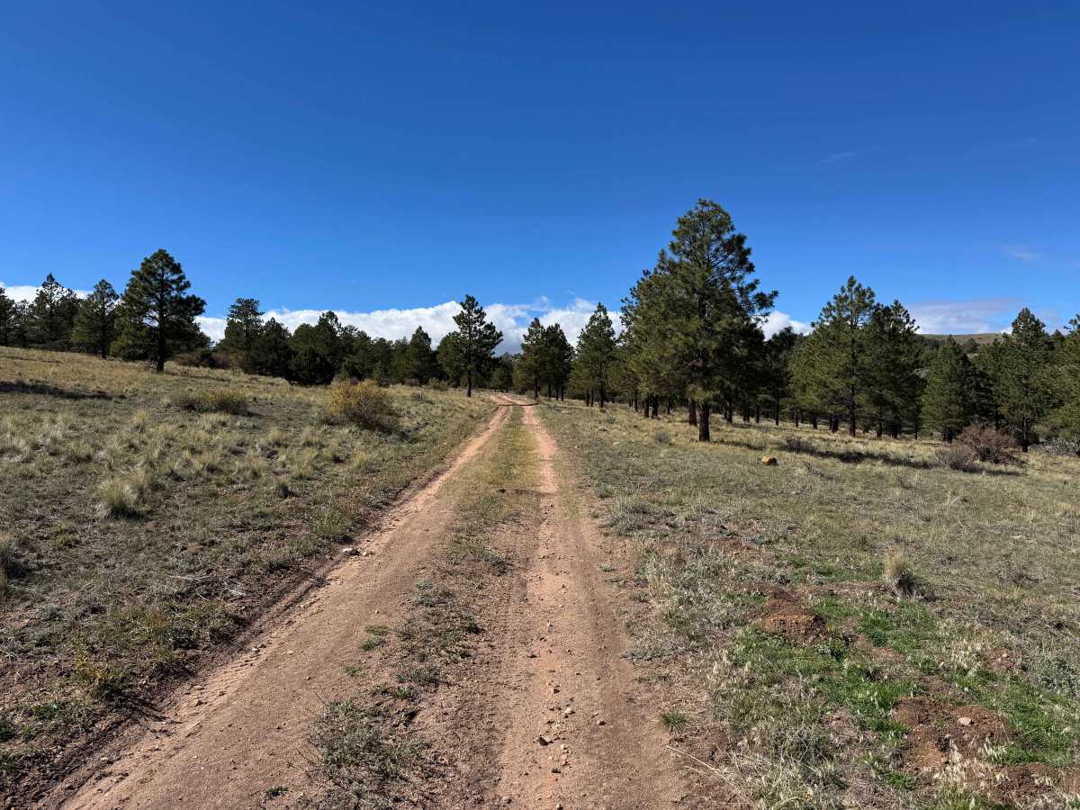
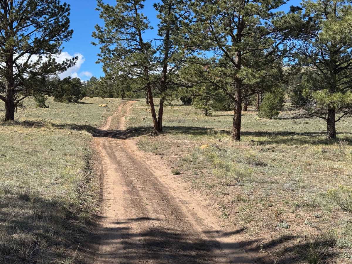
This road begins in a valley at a junction where three trails converge and climbs approximately 400 feet to a high meadow where three additional trails meet. The route features a gradual, steady ascent through tall pine forests, with a mix of smooth, easy-to-travel sections and areas containing loose rocks, rock gardens, and occasional ruts. A few short sections have moderately deep ruts that require some attention, but nothing along the route is particularly challenging under normal conditions. In the rockier areas, drivers should pay attention to tire placement to avoid larger rocks and navigate the ruts safely. Along the way, the road passes through several small meadows that offer opportunities to spot elk and other wildlife. The climb eventually opens into a large, scenic meadow at the highest point, where spectacular views of the surrounding mountains and landscape provide an excellent reward for the journey.
Difficulty
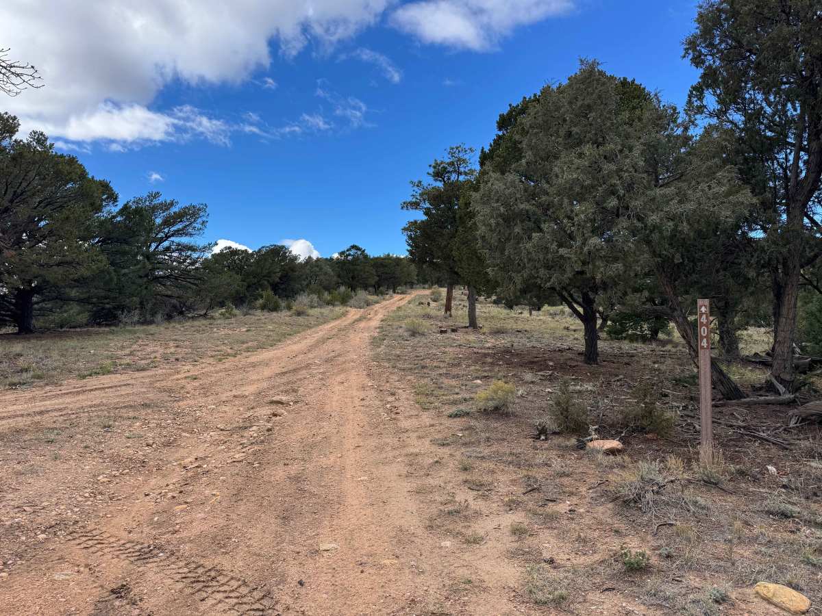
This is an easy trail in dry conditions, with long stretches of smooth, relatively flat terrain. Although there are a couple of spots where careful wheel placement is necessary to navigate rocks and uneven ground, most vehicles should have little difficulty completing the route. Depending on your vehicle’s ground clearance, traction, and driving conditions, engaging 4WD may not be necessary.

 Offroad