Trail Overview
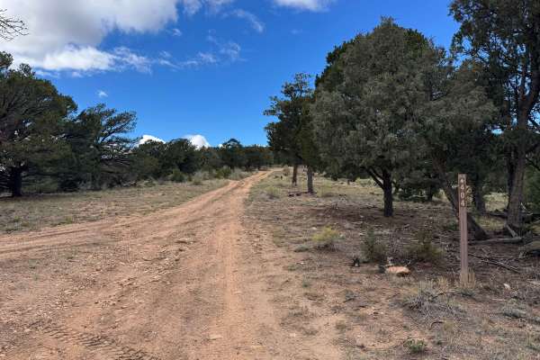
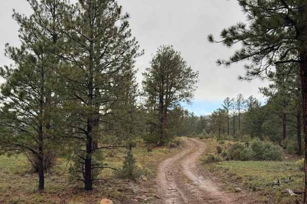
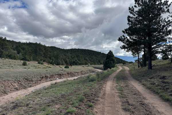
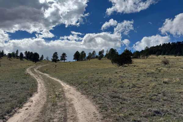
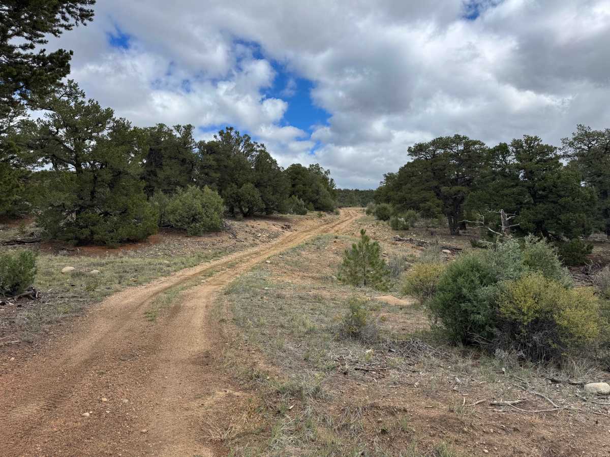
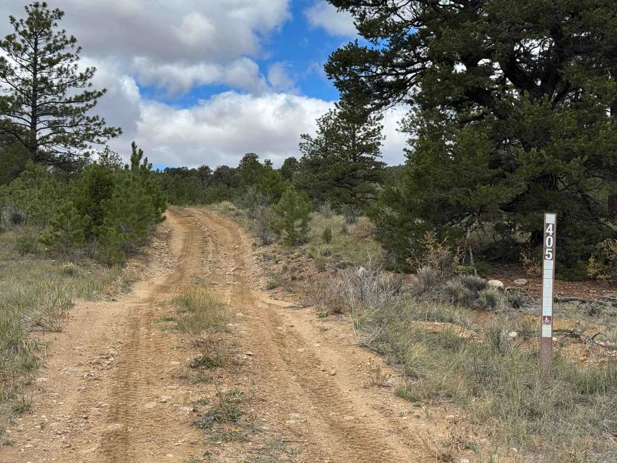
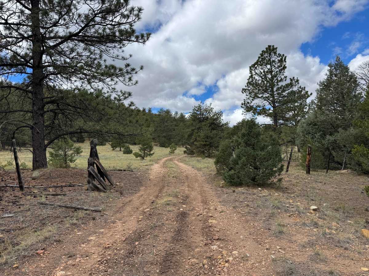
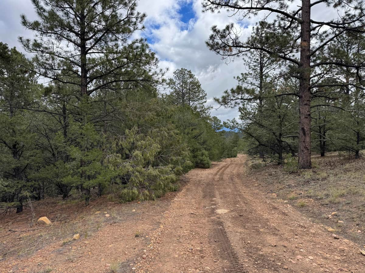
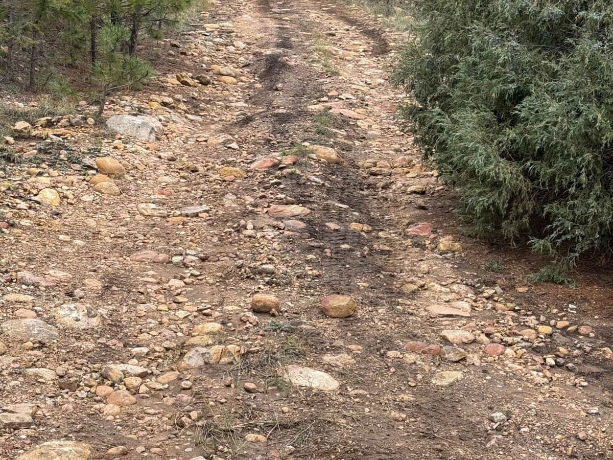
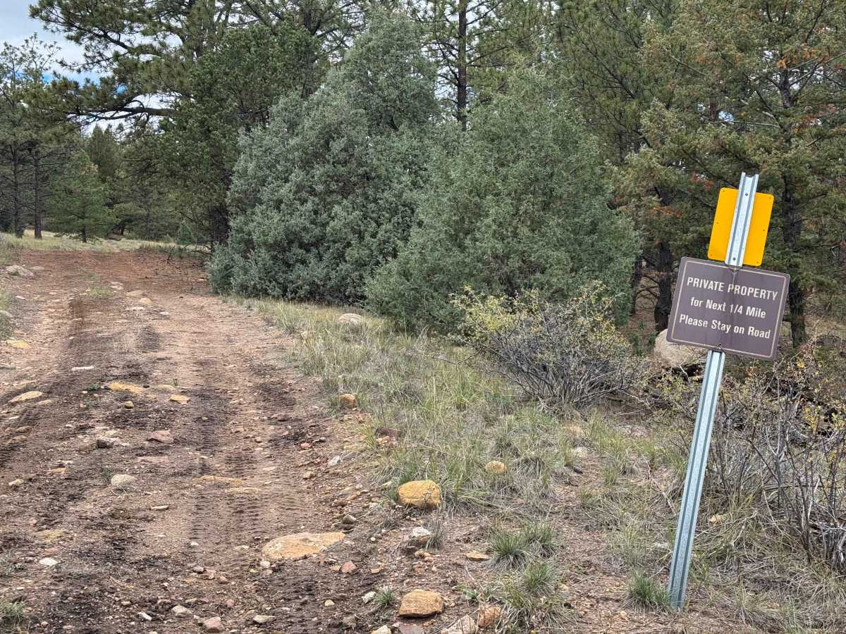
This trail begins along FS 635 and climbs approximately 700–800 feet to an incredibly large meadow offering spectacular 270-degree panoramic views, including some of the best unobstructed vistas of the Sangre de Cristo Mountain Range in the area. The scenery at the top is truly exceptional and makes this route well worth the drive. The trail itself is not particularly difficult, starting with gradual climbs that become somewhat steeper as you progress. Along the way, you’ll encounter several rock gardens with relatively small rocks and manageable grades, interspersed with long stretches of smooth, relatively flat terrain. As with many trails in this area, pay close attention to water bars designed to divert runoff, as some can be tall enough to high-center vehicles with limited ground clearance if approached carelessly. The route winds through beautiful pine forests and several smaller meadows before opening into the expansive meadow at the summit. At the far end, you’ll find a gate marked with a no-trespassing sign indicating the boundary of private property, where the trail officially ends.
Difficulty
In dry conditions, this is an easy trail that most vehicles should be able to navigate without engaging 4WD, provided you stay on the established road. However, wet conditions are a different story, as this type of dirt can become extremely slippery when it rains, significantly increasing the difficulty of the route. As always, pay close attention to the water bars along the trail, as some may be tall enough to cause problems for vehicles with limited ground clearance if approached carelessly.
History
The trails and forest roads throughout the southern San Isabel National Forest and the Wet Mountains have a long history tied to ranching, logging, mining, and early mountain settlement in southern Colorado. Many of the routes that visitors travel today began as access roads for ranchers moving livestock, logging operations harvesting timber, and prospectors exploring the surrounding mountains for valuable minerals. Over time, these roads developed into a network connecting remote valleys, mountain meadows, creek drainages, and historic homesteads. The region’s rugged terrain and changing elevations made these routes important for accessing isolated areas and managing the surrounding forest. Today, many roads are maintained for forest management and public recreation, providing access for 4WD vehicles, ATVs, SxS, hikers, hunters, and campers. As you travel these routes, you may encounter old roadbeds, historic ranching areas, and remnants of the region’s working past. The San Isabel National Forest was established in 1902, and its public lands continue to preserve the area’s natural resources and outdoor heritage.

 Offroad