Trail Overview
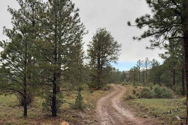
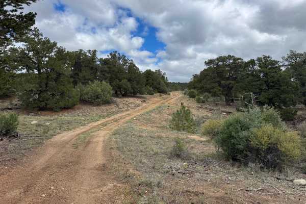
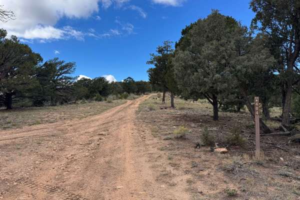
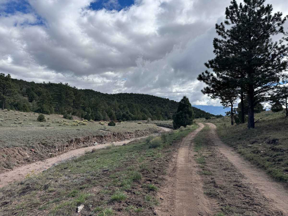
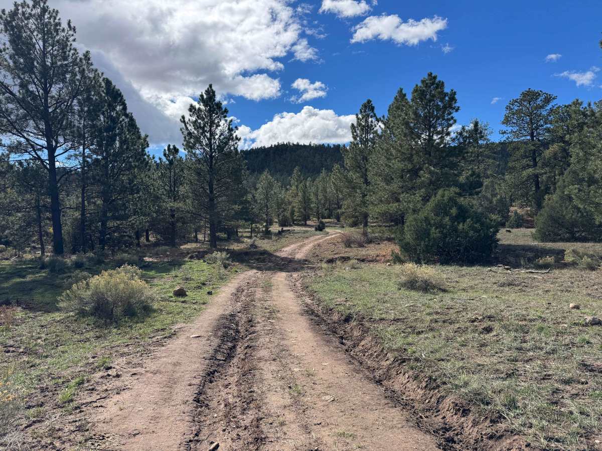
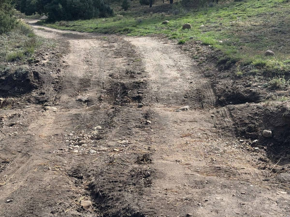
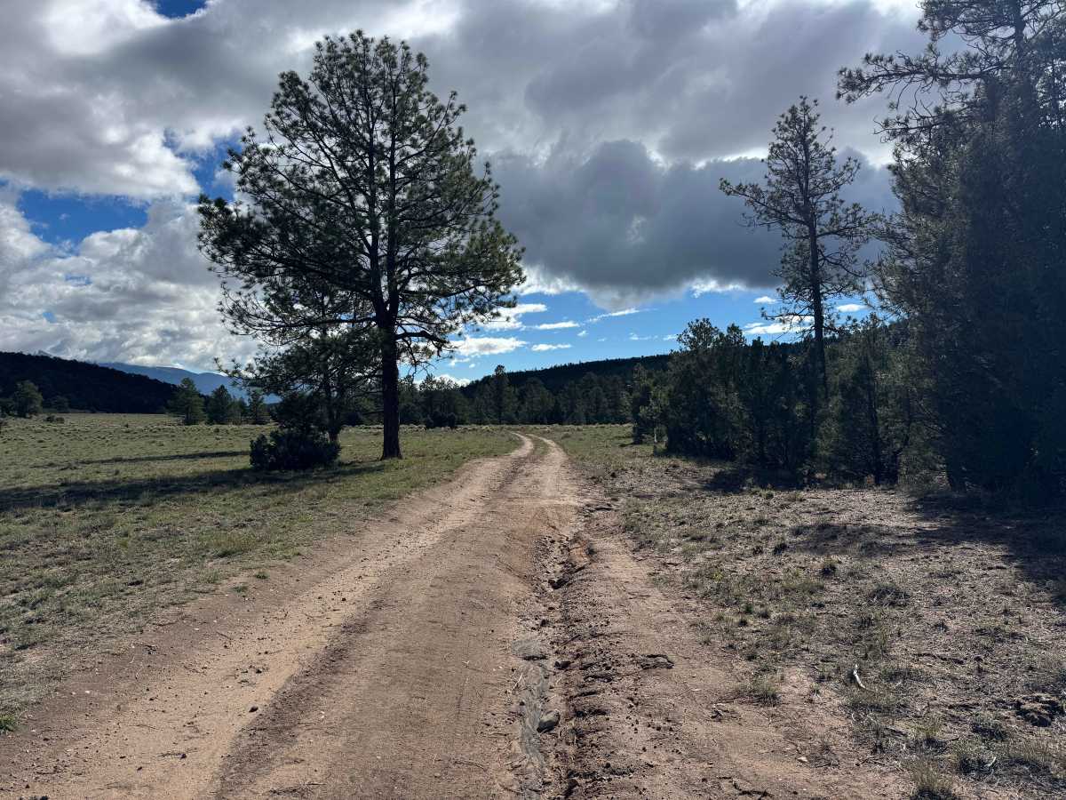
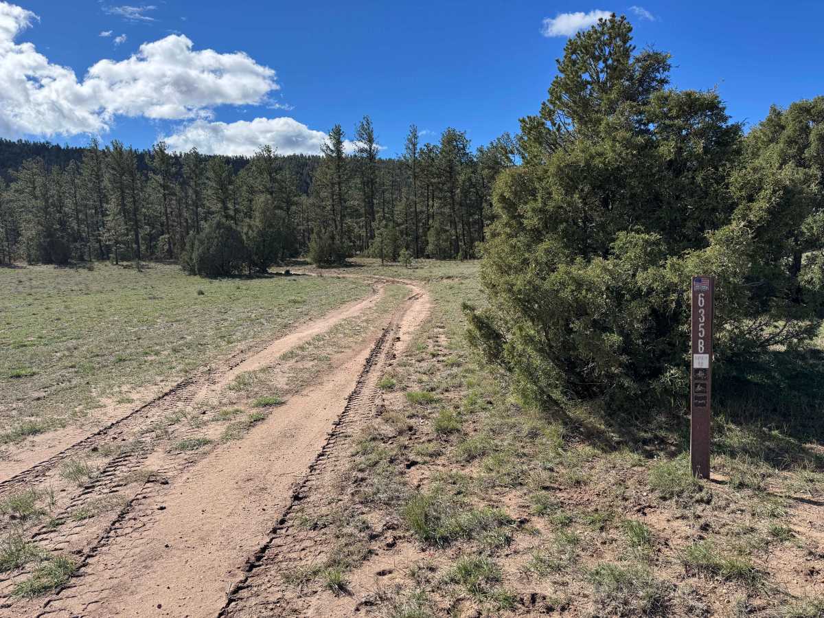
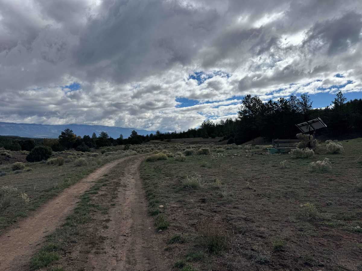
This short route travels through a scenic forested area, connecting an intersection of three trails to the boundary of private property. The drive offers a pleasant ride through the trees, with a couple of small water crossings along the way. One particular dip requires careful navigation and adequate ground clearance, as its depth and shape could cause problems for vehicles that sit low to the ground. Once past this section, the remainder of the route is relatively smooth, with only occasional ruts and scattered rocks requiring some attention. The trail is generally straightforward for vehicles with appropriate ground clearance, provided drivers take their time through the more uneven sections. At the end of the route, you’ll reach a locked gate marking the boundary of private property. The gate indicates that public access ends at this point, so do not attempt to continue beyond it.
Difficulty
In dry conditions, this is an easy route with one notable obstacle: a deep, steep drainage dip where rainwater crosses the trail. This section requires careful wheel placement and adequate ground clearance, as low-clearance vehicles may struggle or become high-centered. Beyond this feature, the route is relatively easy for most vehicles in dry conditions.
History
The trails and forest roads throughout the southern San Isabel National Forest and the Wet Mountains have a long history tied to ranching, logging, mining, and early mountain settlement in southern Colorado. Many of the routes that visitors travel today began as access roads for ranchers moving livestock, logging operations harvesting timber, and prospectors exploring the surrounding mountains for valuable minerals. Over time, these roads developed into a network connecting remote valleys, mountain meadows, creek drainages, and historic homesteads. The region’s rugged terrain and changing elevations made these routes important for accessing isolated areas and managing the surrounding forest. Today, many roads are maintained for forest management and public recreation, providing access for 4WD vehicles, ATVs, SxS, hikers, hunters, and campers. As you travel these routes, you may encounter old roadbeds, historic ranching areas, and remnants of the region’s working past. The San Isabel National Forest was established in 1902, and its public lands continue to preserve the area’s natural resources and outdoor heritage.

 Offroad