Trail Overview
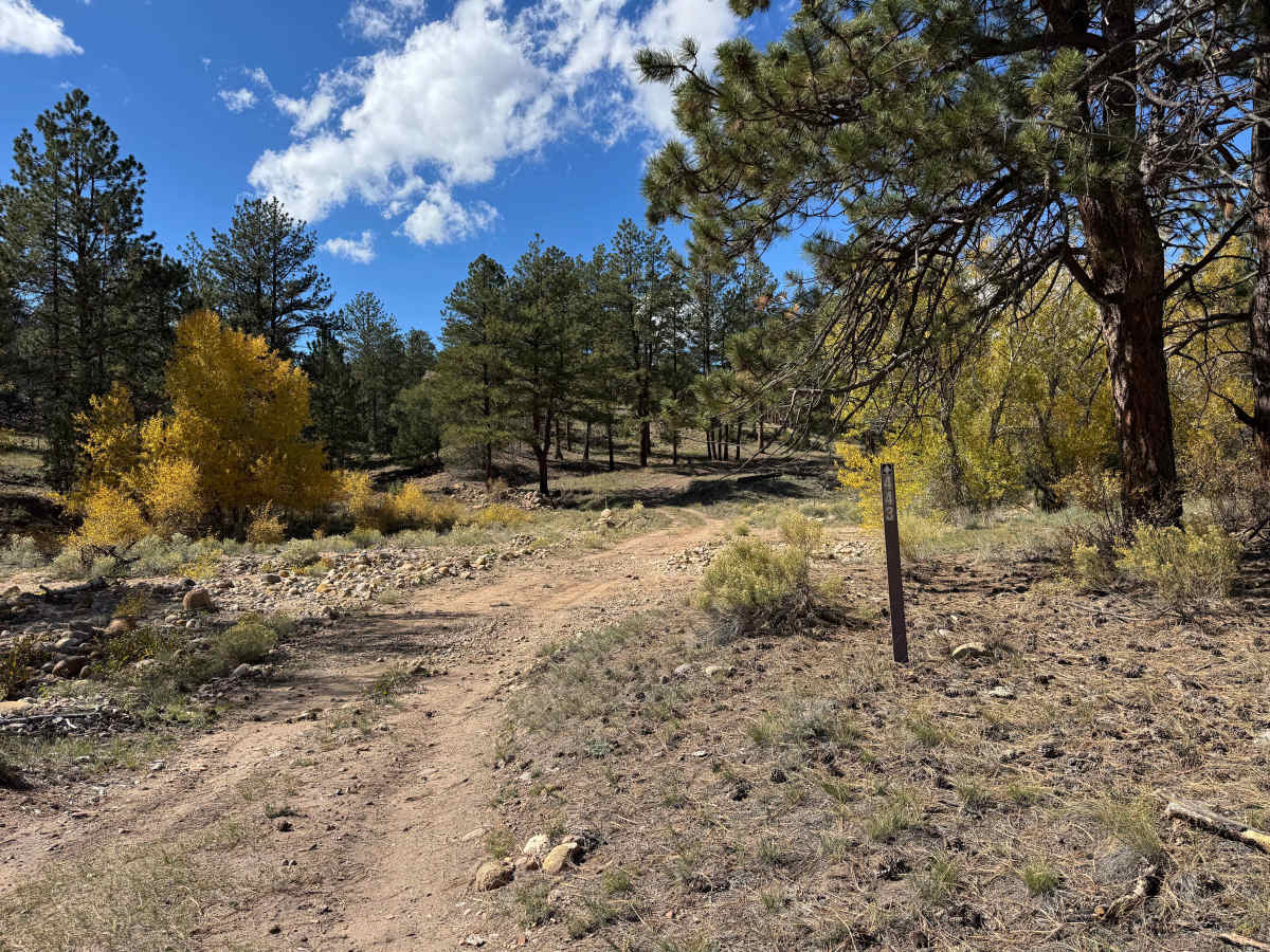
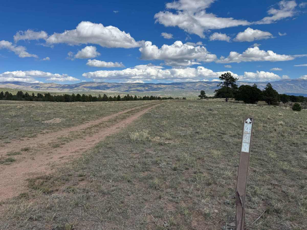
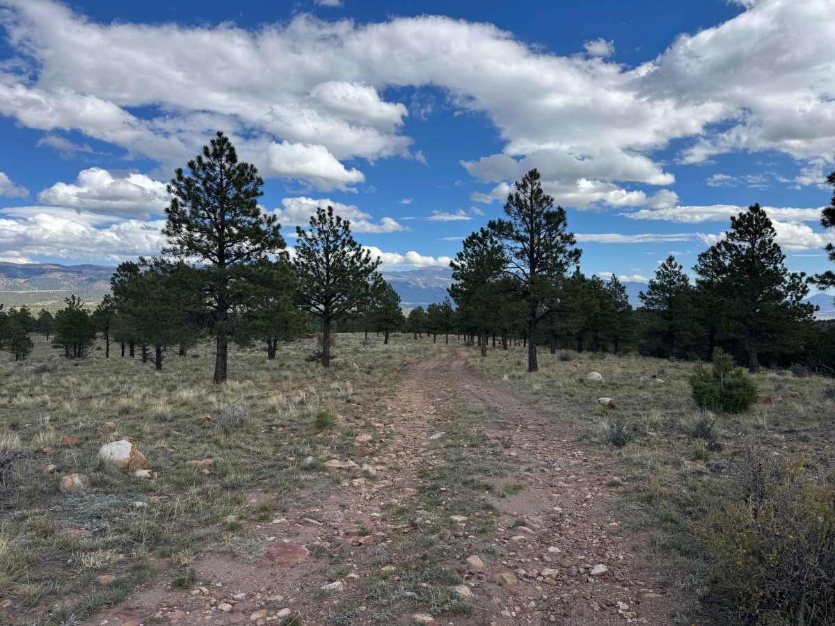
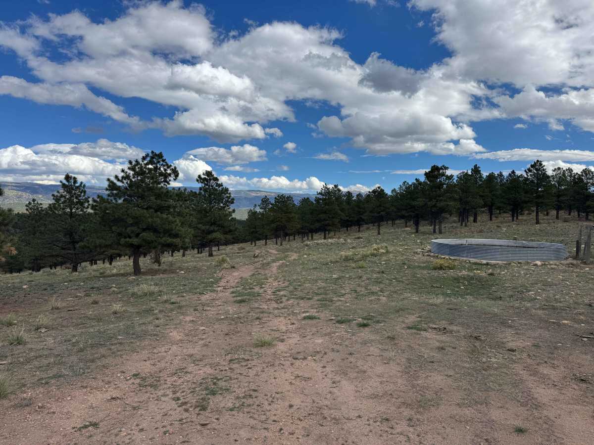
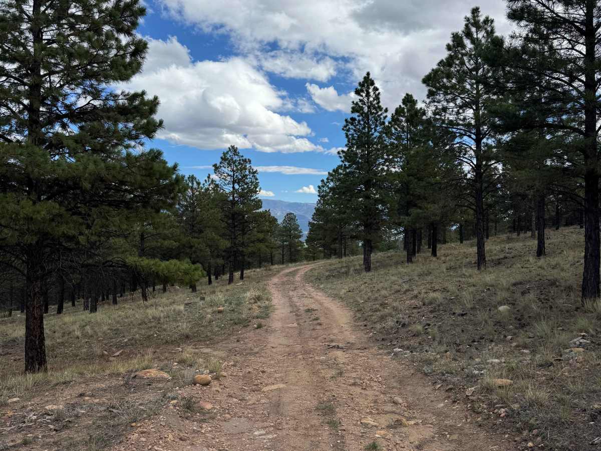
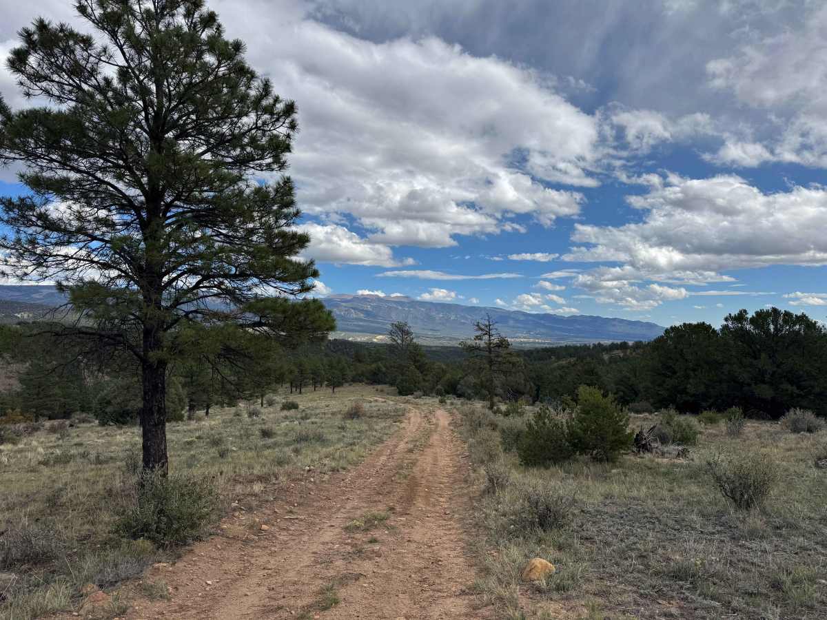
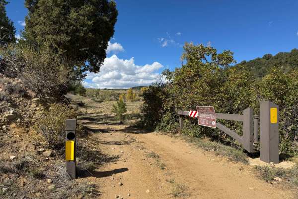
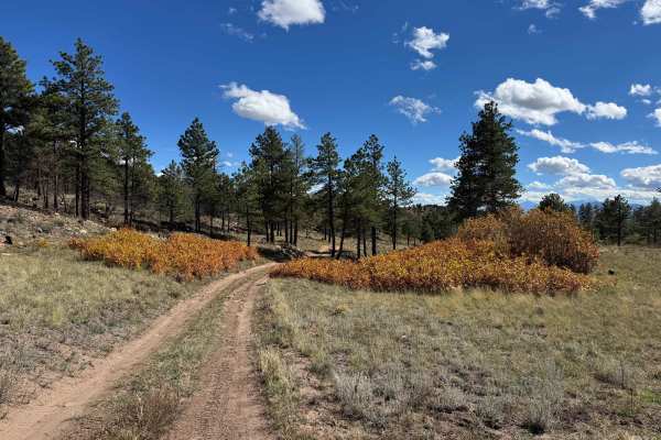
This trail descends from private property at the top to the main road near several dispersed campsites. The route begins with a gradual descent over a somewhat chunky surface with loose rocks, but overall, it’s an easy drive. As you continue downhill through the pine trees and beautiful meadows, you’ll encounter several water bars designed to divert water off the road. These can be a concern for low-clearance vehicles, so use caution to avoid striking the underside of your vehicle. The trail follows a mostly dried-up creek and offers some beautiful mountain views, particularly when traveling downhill. In dry fall conditions, most vehicles will likely be able to complete this route without engaging 4WD. The trail can be driven as an out-and-back route from the bottom, or combined with connecting trails in the area to create a loop. Eventually, the route joins another trail in this network before reaching the main road near the dispersed campsites.
Difficulty
This is an easy trail that most vehicles should be able to navigate without engaging 4WD in dry conditions. The route is generally one vehicle wide, so be prepared to use caution when encountering oncoming traffic. The main obstacle to watch for is the water bars crossing the road, some of which are fairly tall and could cause a low-clearance vehicle to bottom out. Aside from these water bars, the trail is straightforward and should present few challenges for most vehicles in suitable conditions.