Trail Overview
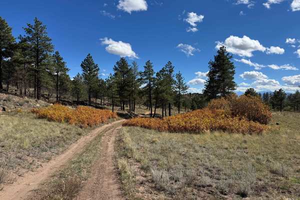
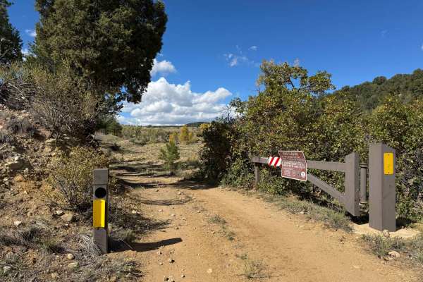
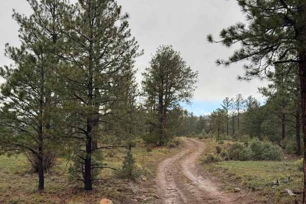
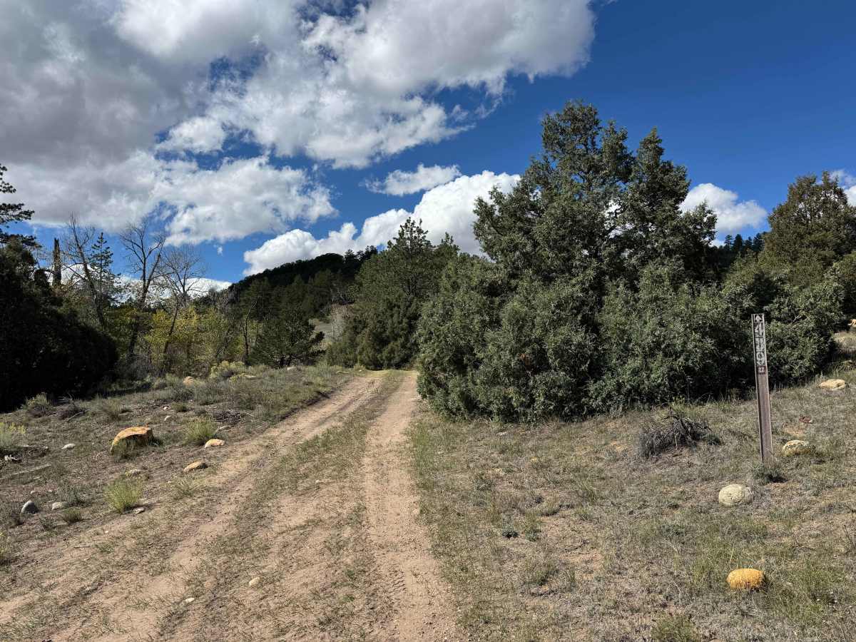
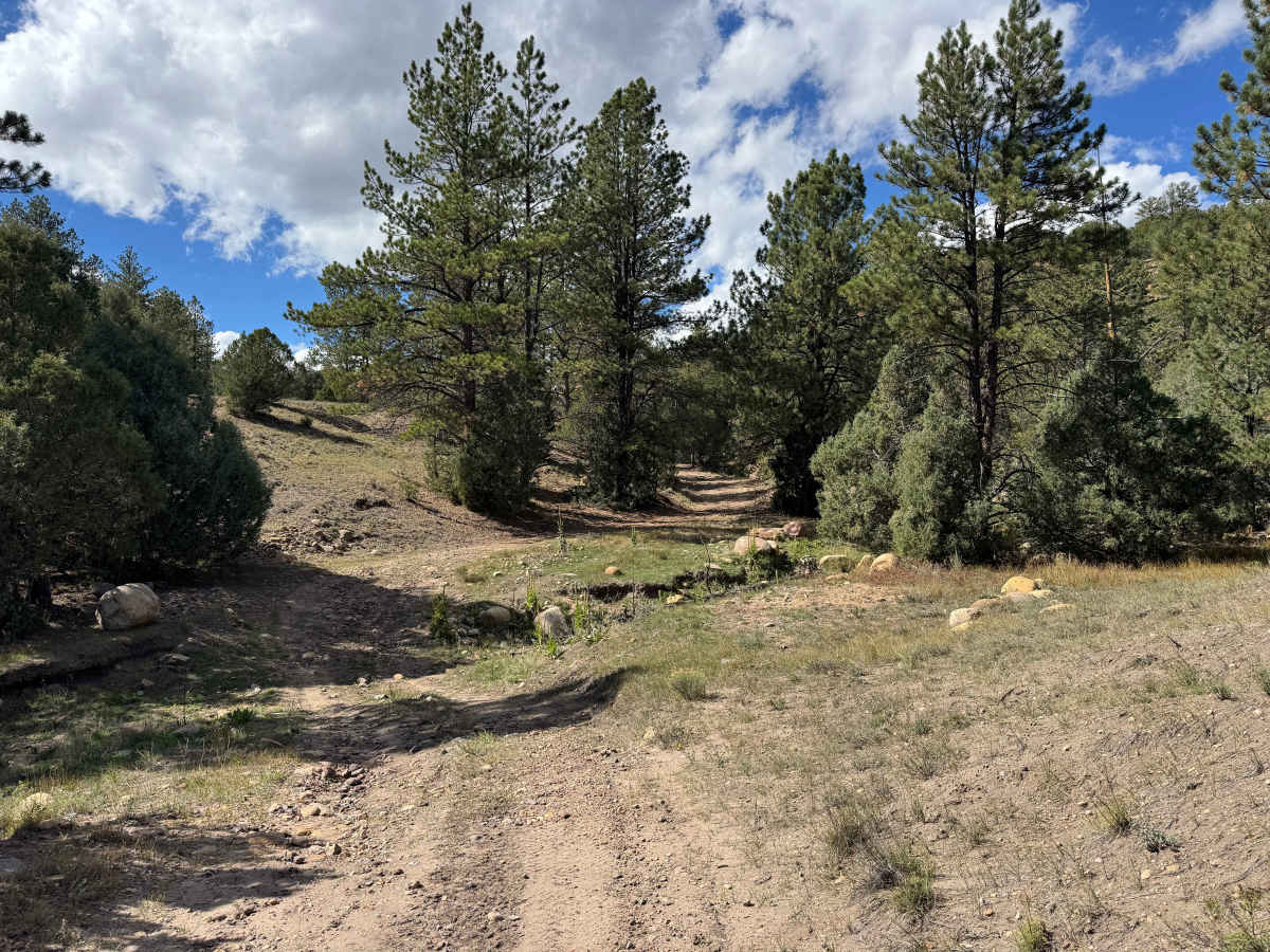
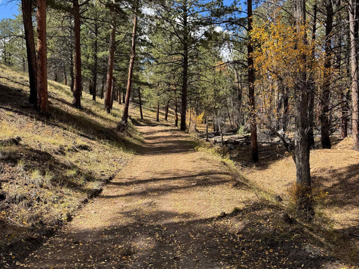
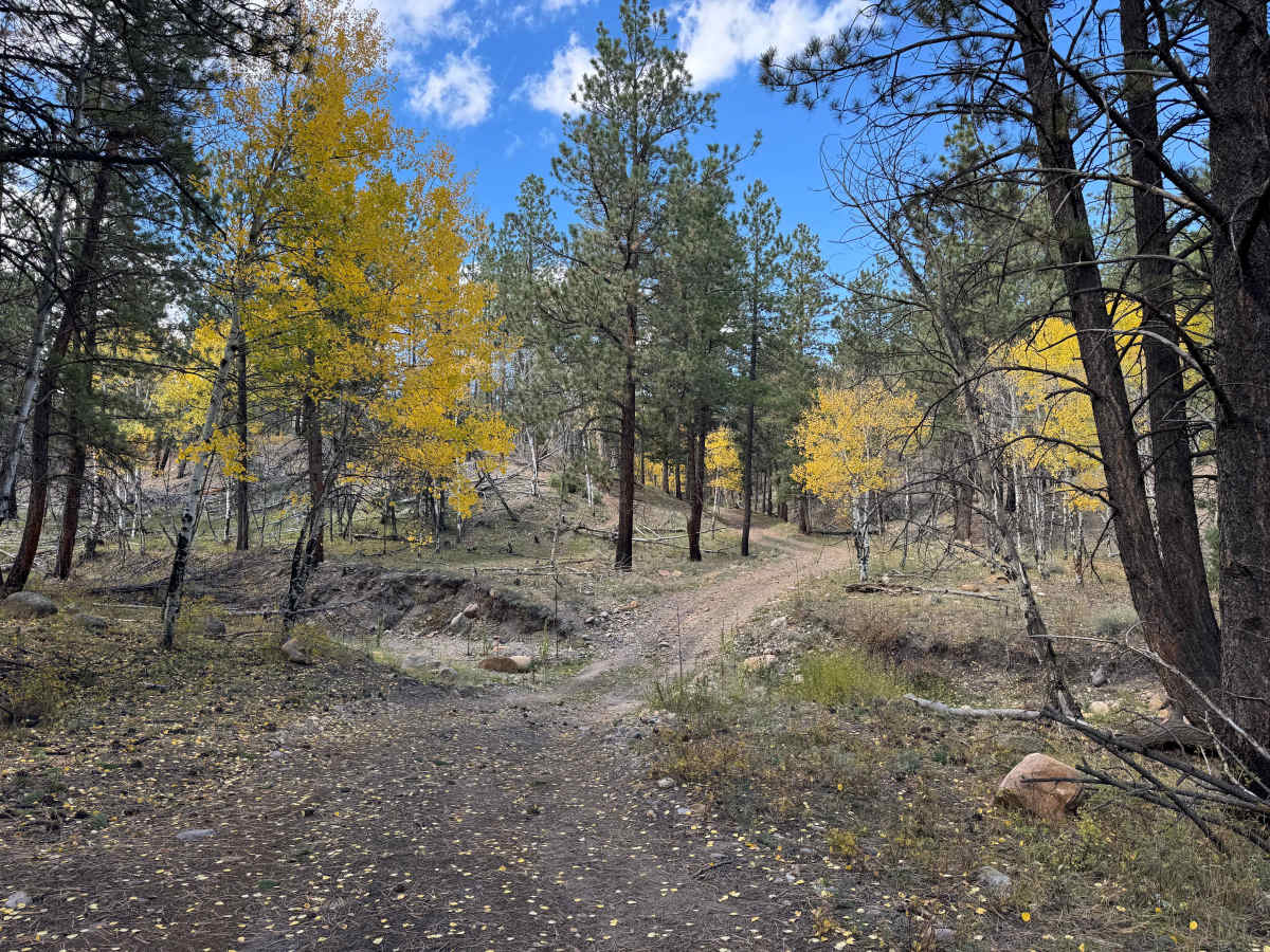
This route follows a gentle climb to the intersection with USFS 443, making it a great option for an out-and-back drive or as part of a loop back to your starting point. Several sections traverse narrow shelf roads alongside a creek, with changing scenery as you climb through different forest types, beginning with low pine shrubs and gradually transitioning into tall pines and aspen groves. In the fall, sections of the road can be carpeted with colorful aspen leaves, adding to the beauty of the drive. Overall, this is an easy and enjoyable route with some loose rocks and short, steep climbs, though 4WD may not be necessary in dry conditions. Be cautious when crossing the water bars found throughout this network, as some are steep enough to cause low-clearance vehicles to bottom out. Wildlife, birds, and scenic views make this a particularly rewarding drive for anyone looking to explore the area at a relaxed pace.
Difficulty
In dry conditions, this is a fairly easy route, and many vehicles may be able to complete it without engaging 4WD. The main obstacles to watch for are the water bars, which can be steep and tall in some sections. Low-clearance vehicles should use caution to avoid bottoming out, but most vehicles with reasonable ground clearance should be able to navigate these obstacles without difficulty.
History
The San Isabel National Forest encompasses a region shaped by Indigenous peoples, early explorers, ranchers, miners, and generations of mountain settlers. The surrounding Wet Mountains became important for ranching, timber harvesting, and access to Colorado’s developing mountain communities. Established in 1902, the San Isabel National Forest protects the area’s forests, watersheds, wildlife habitat, and scenic landscapes while preserving opportunities for public recreation and continued exploration.


 Offroad