Trail Overview
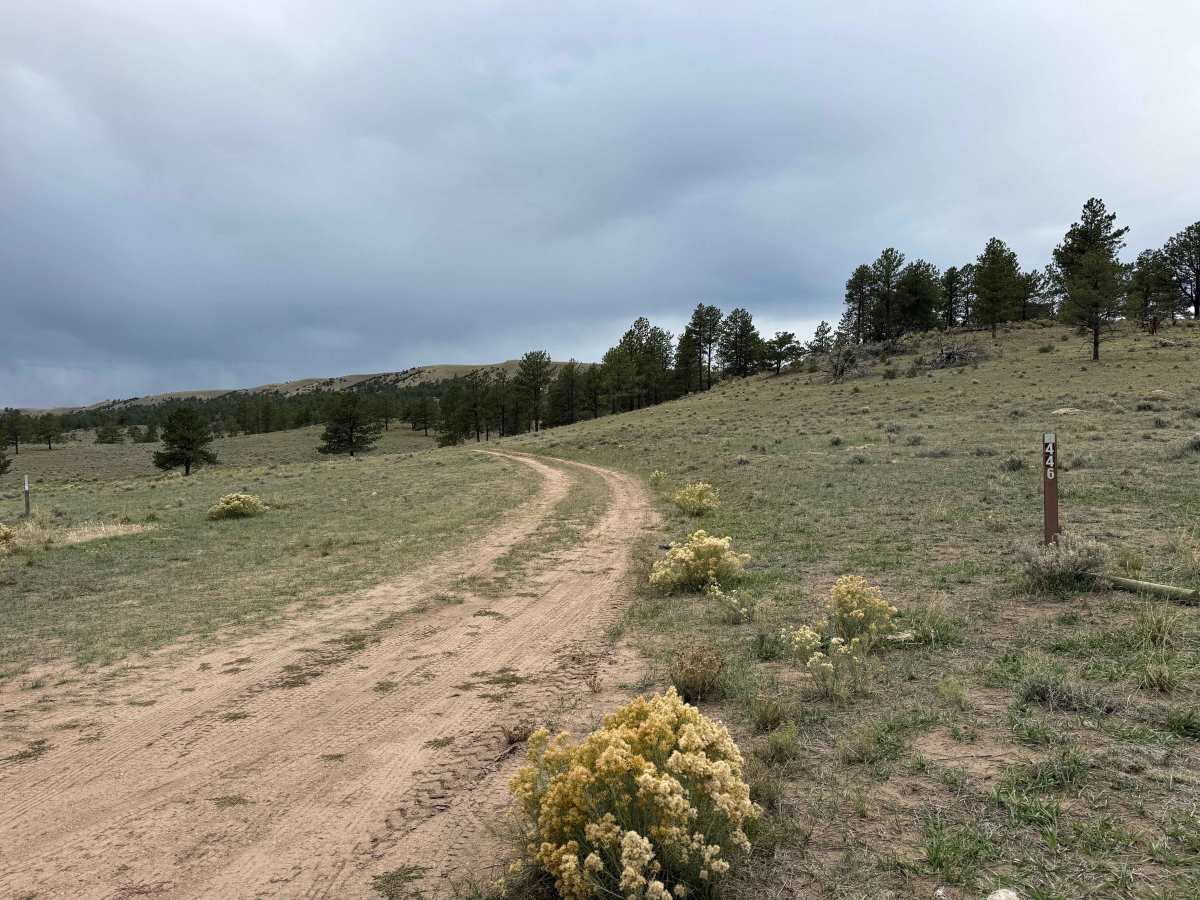
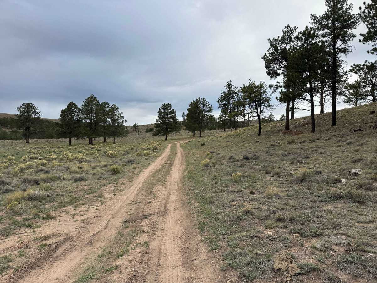
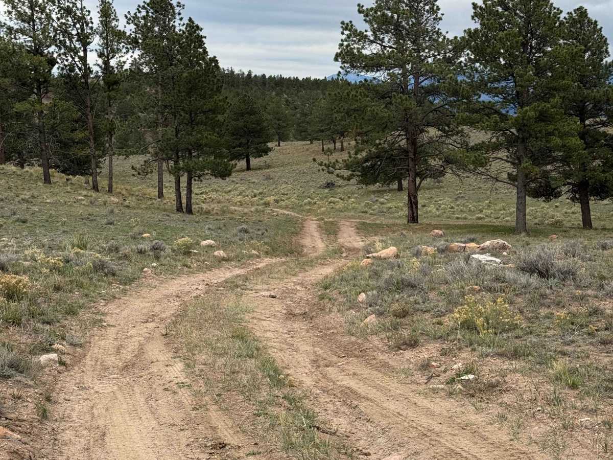
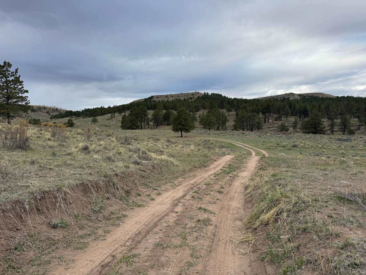
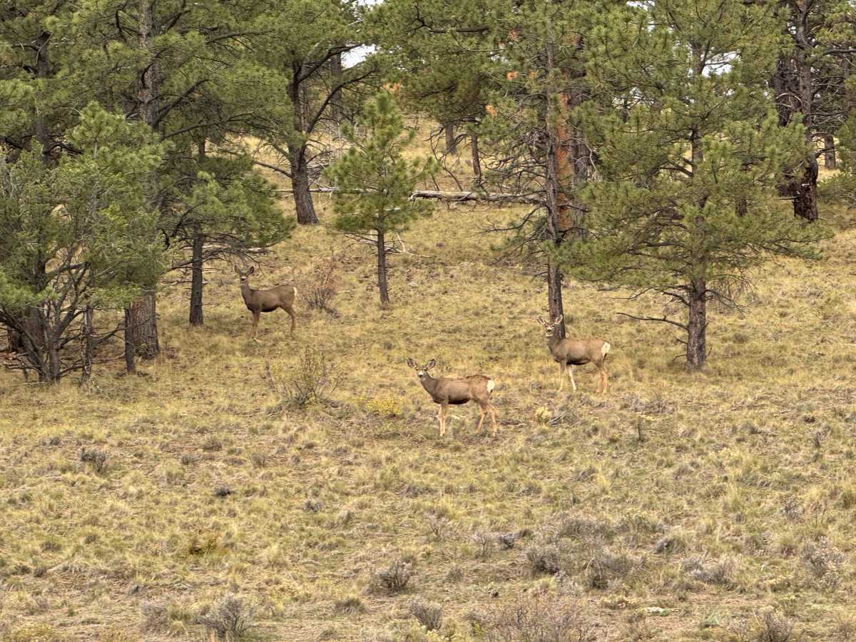
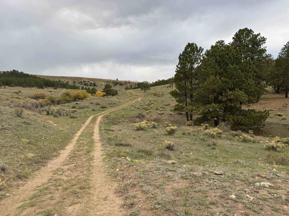
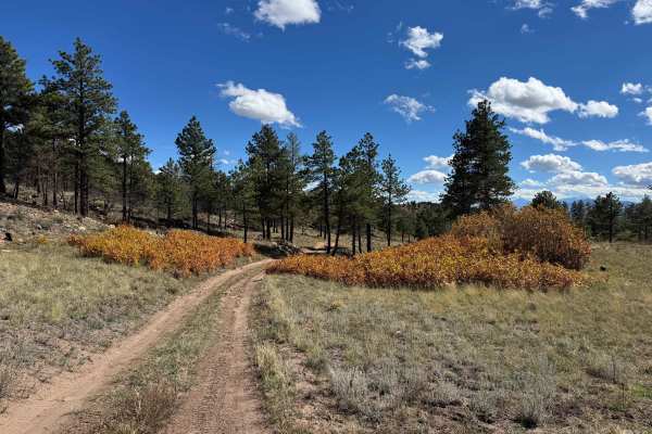
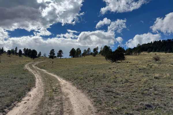
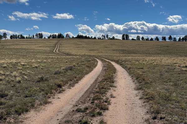
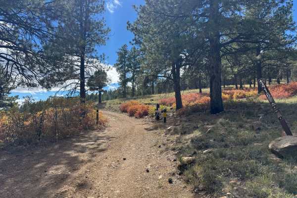
This 1-mile out-and-back route begins on Gardner Road and follows a scenic trail to a closed gate marking the end of public access at private property. Overall, it is an easy drive suitable for most high-clearance vehicles, with a couple of short sections requiring extra caution. The first is a slight uphill beneath a tree where a water bar crosses the road, which may require careful tire placement. Farther along, a short, moderately steep section features loose rocks that require attention and controlled driving. Beyond these minor obstacles, the route is relatively straightforward. Around one-third of the way along the trail, there are several nice, flat areas suitable for camping. Deer frequently pass through the area, adding to the appeal of this peaceful location. The route also offers incredible views of the surrounding mountains in the distance, making it a worthwhile short excursion for those seeking a quiet spot to enjoy the scenery.
Difficulty
This is an easy trail overall, with only two short sections requiring extra attention. The first is where the trail passes beneath a very low-hanging tree with a water bar crossing the road. The second is a short section of loose rocks that requires careful driving. In dry conditions, most vehicles with adequate ground clearance should be able to navigate the trail without using 4WD. However, in wet or muddy conditions, 4WD will likely be necessary.
History
The trails and forest roads throughout the southern San Isabel National Forest and the Wet Mountains have a long history tied to ranching, logging, mining, and early mountain settlement in southern Colorado. Many of the routes that visitors travel today began as access roads for ranchers moving livestock, logging operations harvesting timber, and prospectors exploring the surrounding mountains for valuable minerals. Over time, these roads developed into a network connecting remote valleys, mountain meadows, creek drainages, and historic homesteads. The region’s rugged terrain and changing elevations made these routes important for accessing isolated areas and managing the surrounding forest. Today, many roads are maintained for forest management and public recreation, providing access for 4WD vehicles, ATVs, SxS, hikers, hunters, and campers. As you travel these routes, you may encounter old roadbeds, historic ranching areas, and remnants of the region’s working past. The San Isabel National Forest was established in 1902, and its public lands continue to preserve the area’s natural resources and outdoor heritage.