Trail Overview
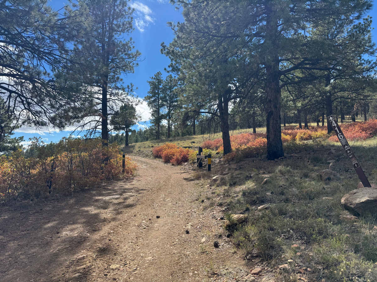
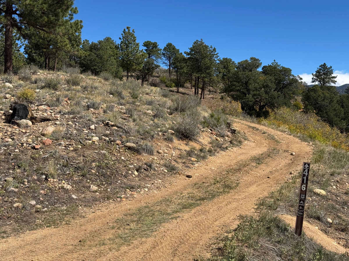
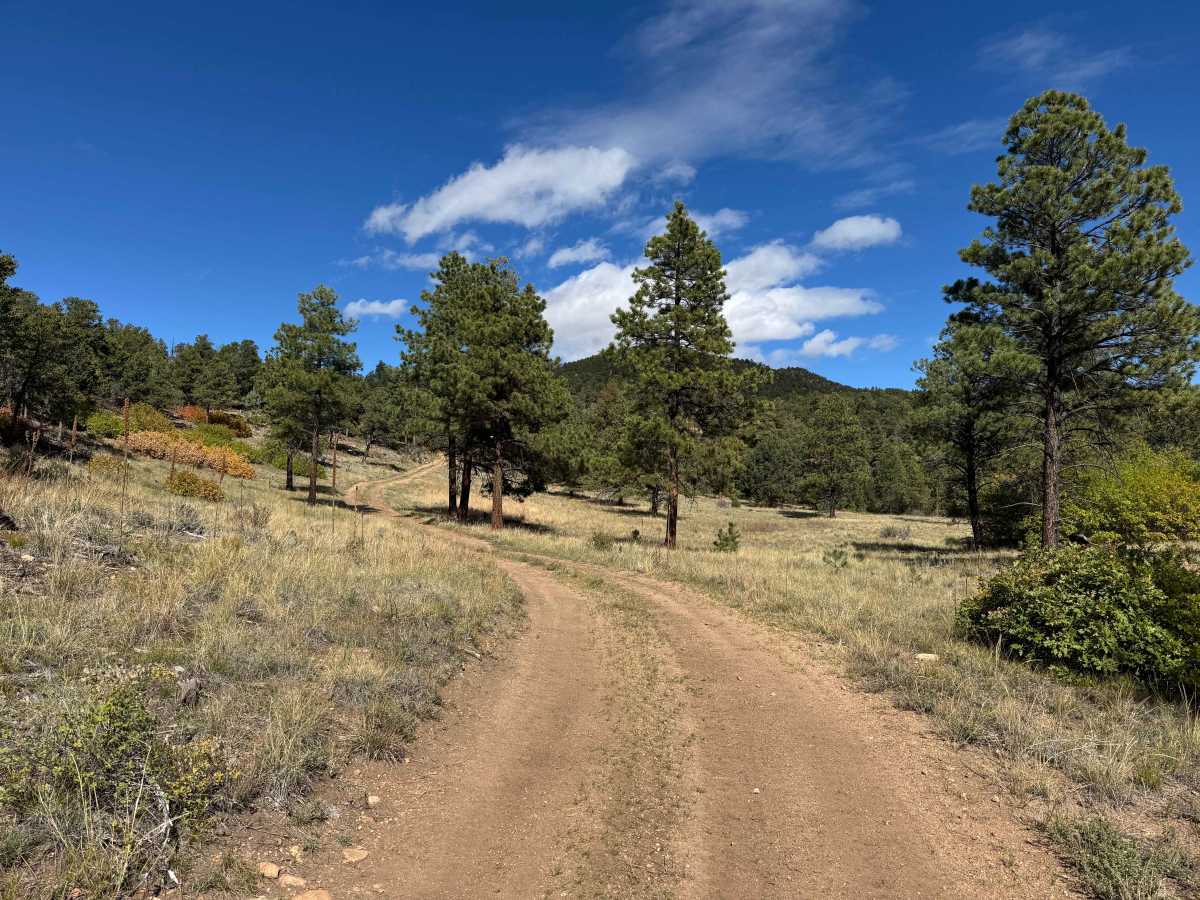
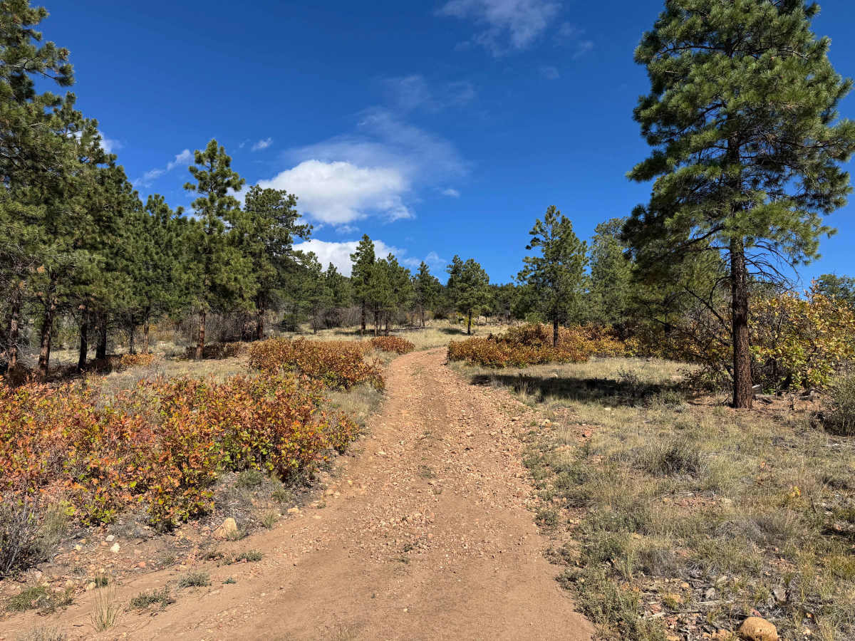
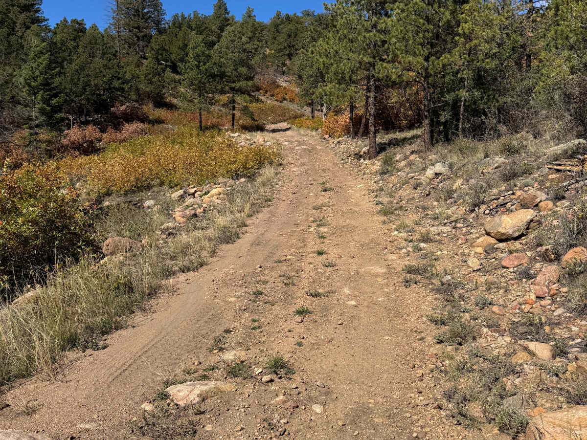
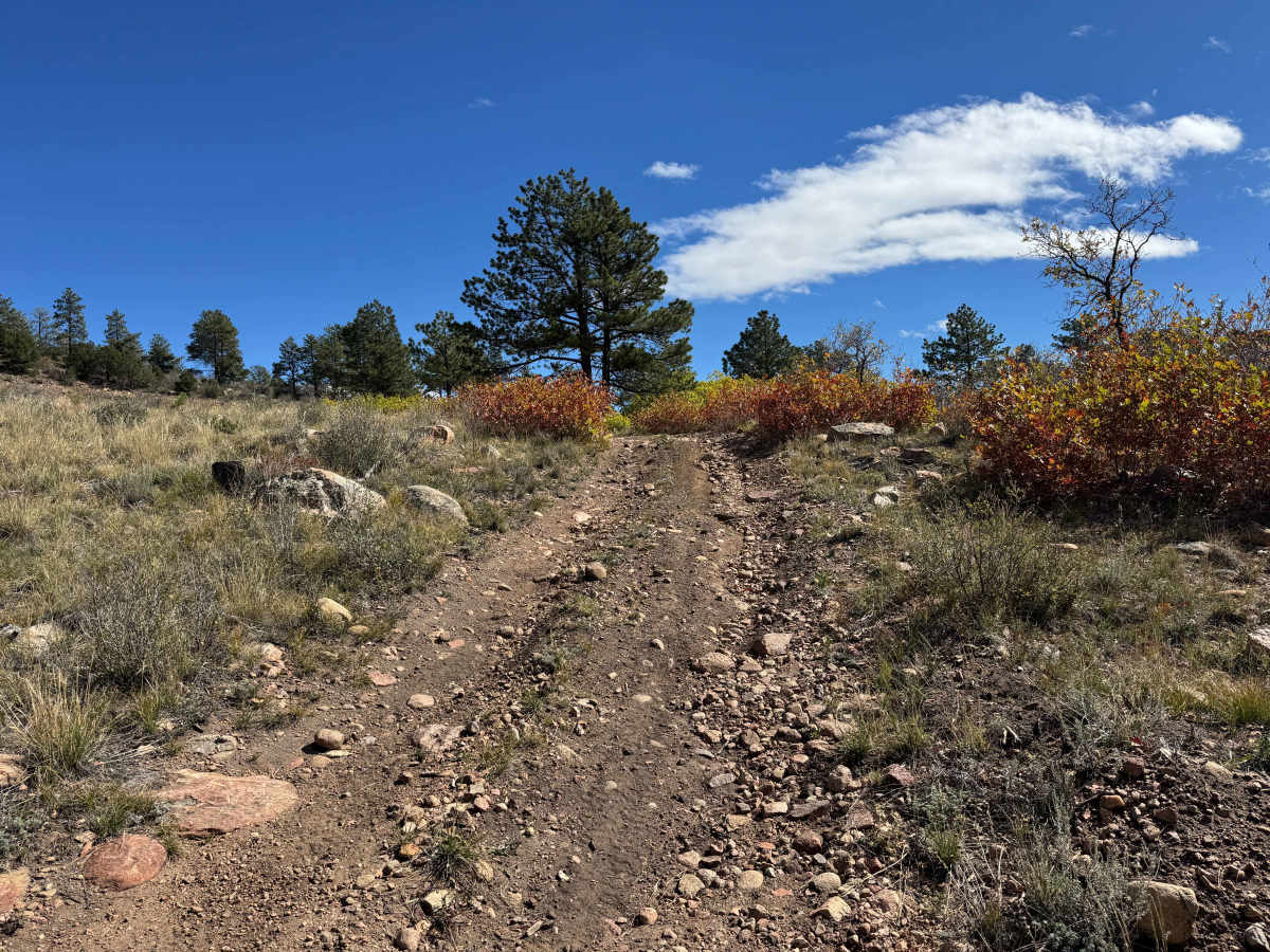
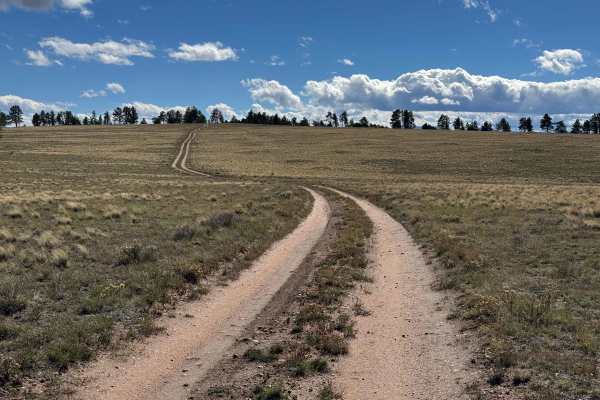
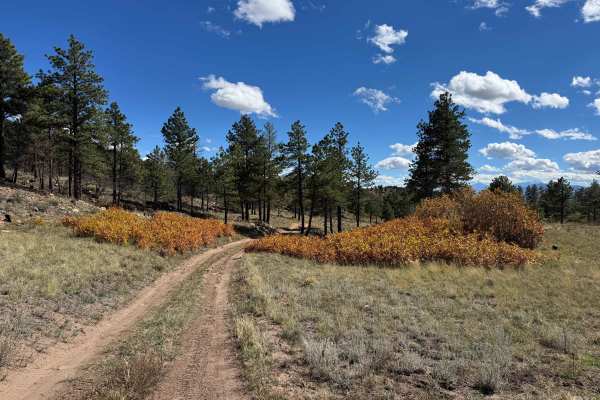
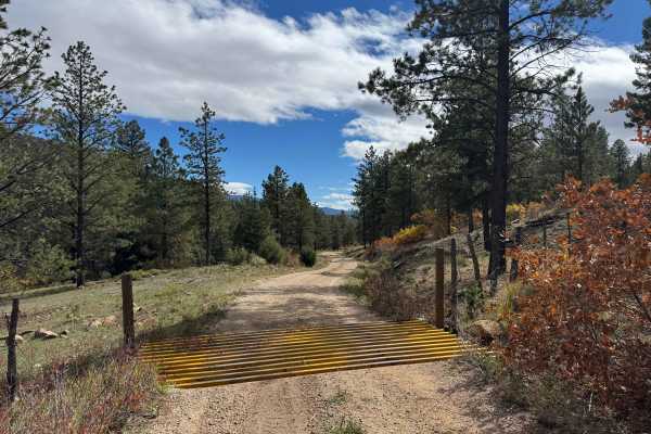
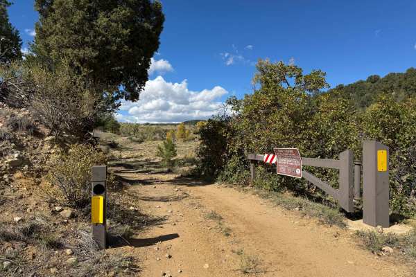
This road begins near the Wylie Creek area and follows a fairly continuous climb through the mountains, eventually connecting with FS 630. The route is generally easy to moderate, with manageable grades that should be accessible to most capable vehicles. Some sections contain loose rocks and small ruts, but there are no significant obstacles or large ledges that should cause concern for most drivers. As you climb into the higher elevations, you’ll reach some outstanding dispersed campsites, including large, relatively level areas with enough room for several vehicles. These sites offer spectacular 270-degree views of the surrounding mountains, making them some of the more impressive camping spots in the area. The route winds through a mix of tall pine forests, stands of aspen, and open mountain meadows, with particularly beautiful scenery during the fall when the aspens change color. Elk and deer are common throughout this area, and you may encounter herds grazing in the meadows or moving through the trees. Overall, this is a scenic mountain climb with excellent camping opportunities and panoramic views that make the drive well worth the effort.
History
The trails and forest roads throughout the southern San Isabel National Forest and the Wet Mountains have a long history tied to ranching, logging, mining, and early mountain settlement in southern Colorado. Many of the routes that visitors travel today began as access roads for ranchers moving livestock, logging operations harvesting timber, and prospectors exploring the surrounding mountains for valuable minerals. Over time, these roads developed into a network connecting remote valleys, mountain meadows, creek drainages, and historic homesteads. The region’s rugged terrain and changing elevations made these routes important for accessing isolated areas and managing the surrounding forest. Today, many roads are maintained for forest management and public recreation, providing access for 4WD vehicles, ATVs, SxS, hikers, hunters, and campers. As you travel these routes, you may encounter old roadbeds, historic ranching areas, and remnants of the region’s working past. The San Isabel National Forest was established in 1902, and its public lands continue to preserve the area’s natural resources and outdoor heritage.