FS 630

Total Miles5.6
Technical Rating
2Easy
Best TimeSummer
Trail TypeFull-Width Road
Accessible By
Open Trail Map

Trail Overview

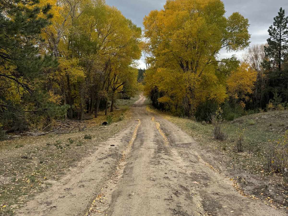
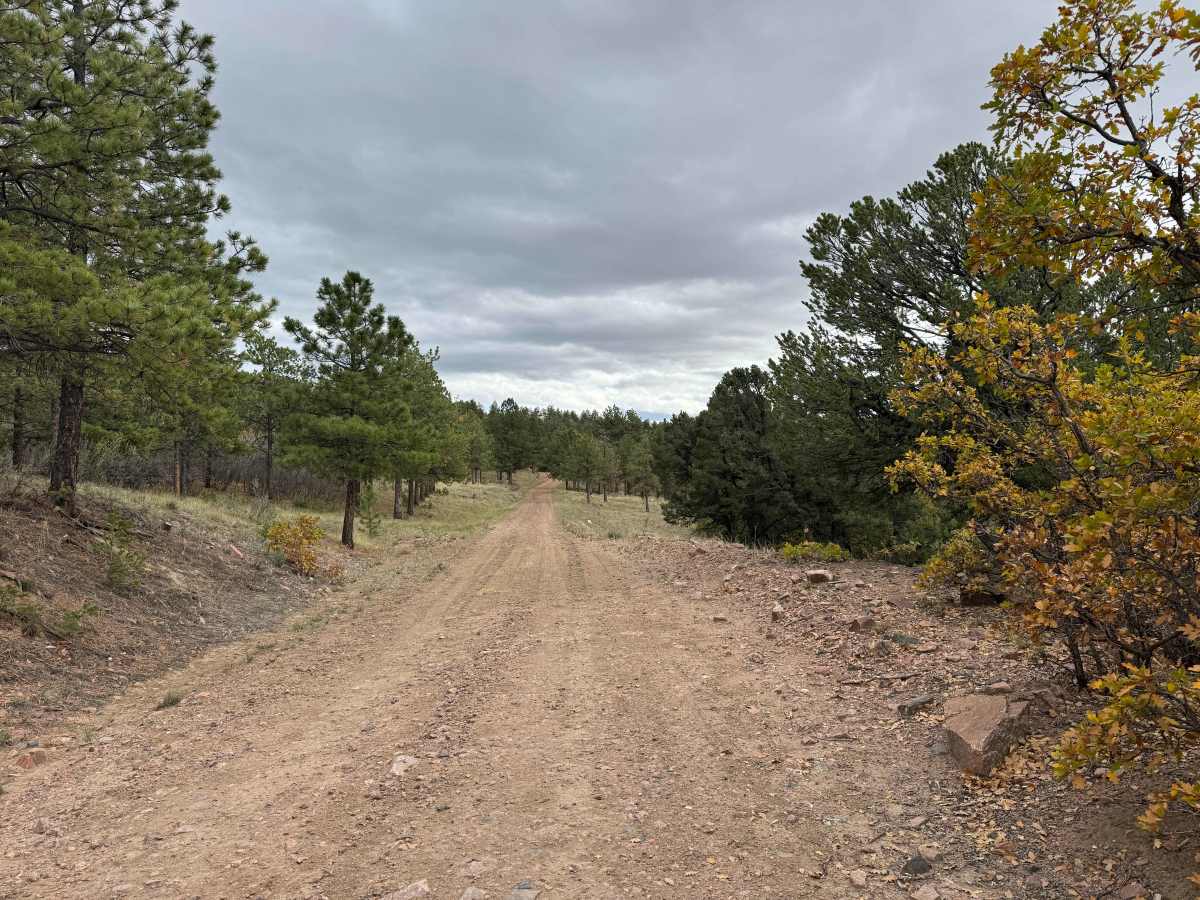
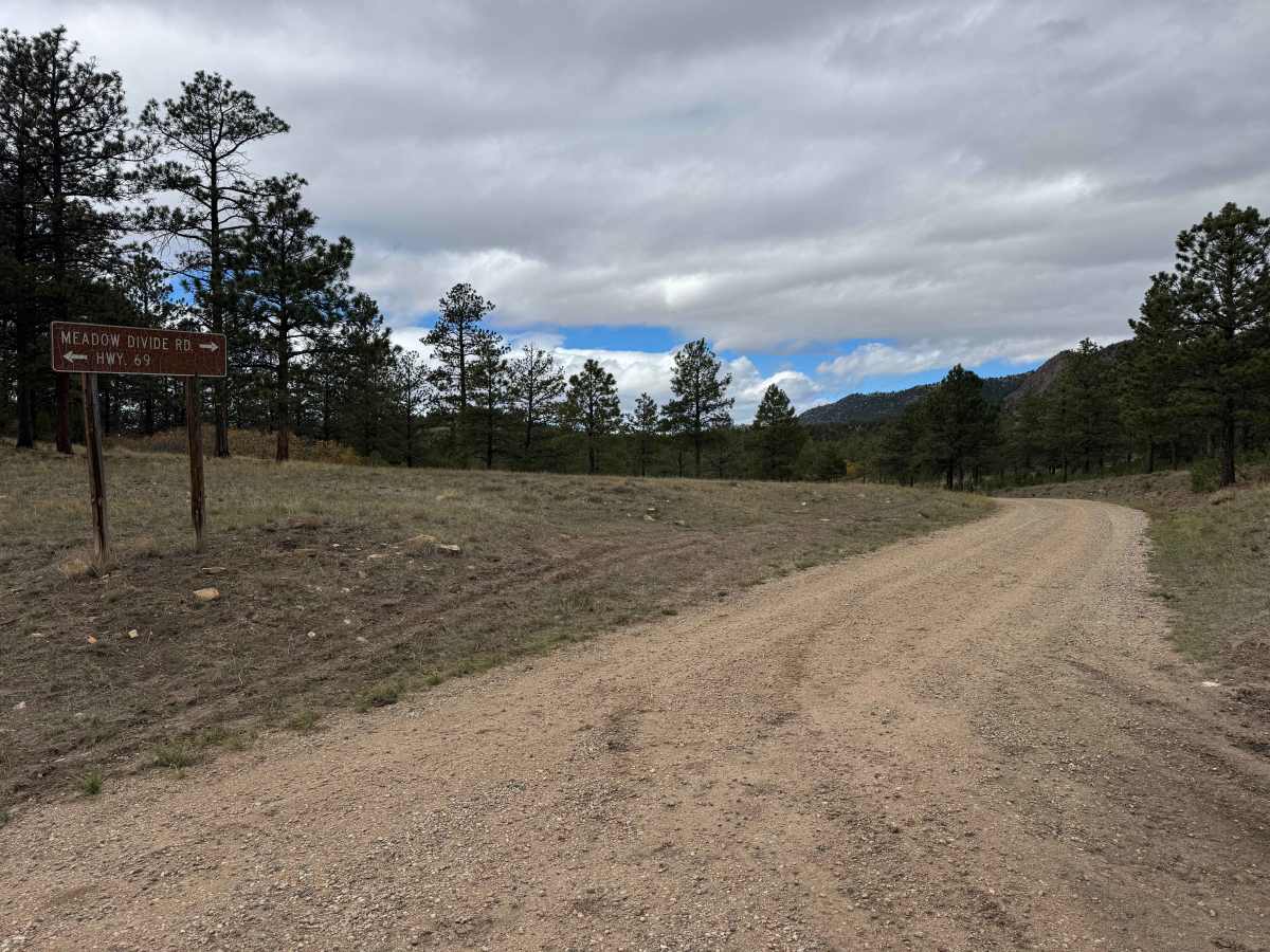
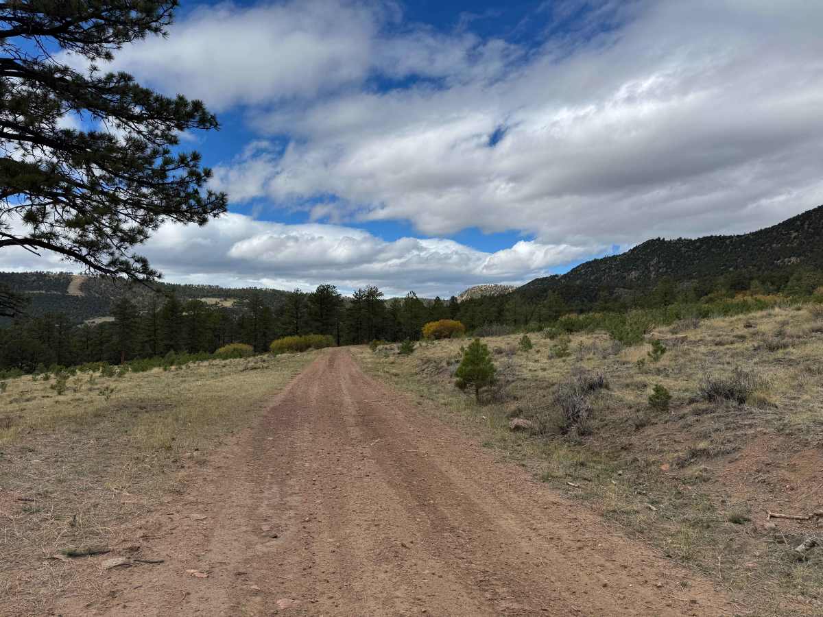
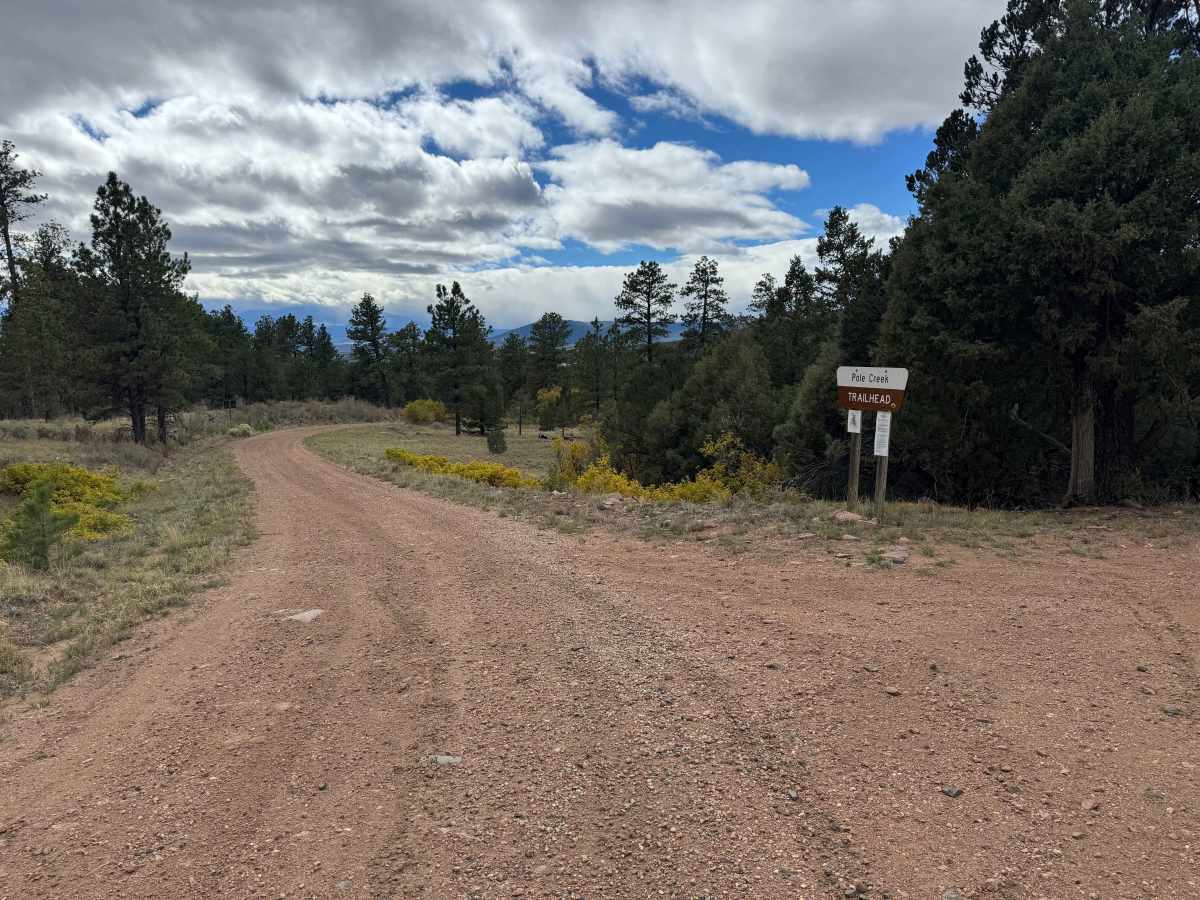
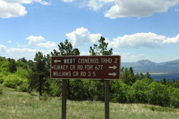
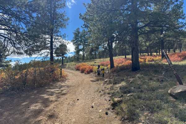
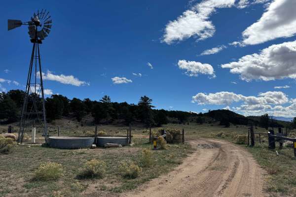
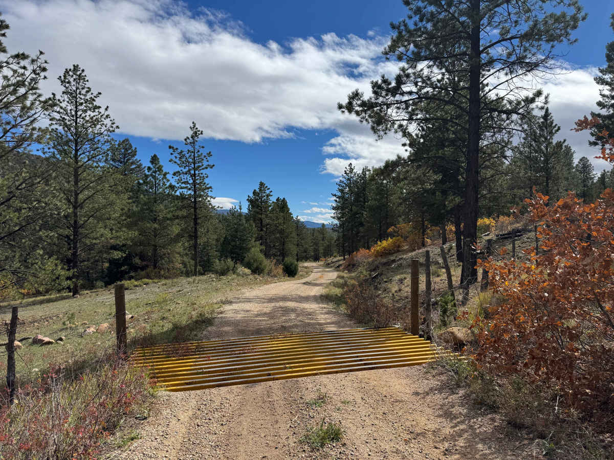
This is a scenic transition road connecting FS 630 on the northwest end to the southeast, where you can continue out of the mountains via Highway 69. The route is generally mild and should be accessible to most vehicles without 4WD in dry conditions. The road features gentle climbs and descents, with no particularly steep sections likely to require 4WD. Along the way, you’ll travel through tall pine forests, stands of aspen, and several large meadows, with portions of the route following a creek along the bottom of the canyon. Wildlife is abundant in this area, and you may encounter herds of elk or deer along the road or in the surrounding meadows. The route also passes through a section of private land, so be sure to remain on the established road and respect property boundaries. Overall, this is an enjoyable drive through beautiful mountain scenery and a great option for connecting trails or making your way toward Highway 69.

Photos of FS 630

Difficulty

This is an easy trail with minimal elevation gain and loss. In dry conditions, most vehicles should be able to travel this route without engaging 4WD, provided they stay on the established road.

Technical Rating

2

FS 630 Trail can be accessed by the following ride types:

  • Single Track
  • 50 Inch
  • 60 Inch
  • High Clearance
  • Full Width

FS 630 Map

The onX Offroad Difference

onX Offroad combines trail photos, descriptions, difficulty ratings, width restrictions, seasonality, and more in a user-friendly interface. Available on all devices, with offline access and full compatibility with CarPlay and Android Auto. Discover what you're missing today!

Open Trail Map