Trail Overview
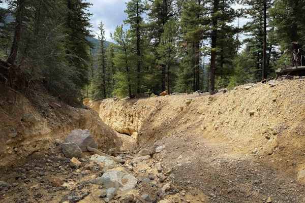
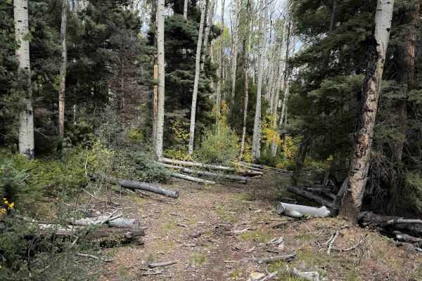
FS 195B is an advanced trail that should only be attempted by highly experienced and confident riders comfortable with exposed side-hilling and route finding. Before attempting this trail, riders should note that it does not seem to connect to Sawmill Road - FS 597 on the north end as the map shows. It peters out where it looks like there used to be a trail down a steep ravine full of logs, and now looks like it ends on top of a steep hill about 200 yards above the road with no trail in sight. There are plenty of tracks following the route all the way up until this dead end, where riders have tried to bench in a trail, and someone has even sawed a few X’s into a log to indicate to other riders not to continue. It’s still a fun adventure for riders to check out because the south end goes past some incredible landscapes and rock formations, even if you have to ride it as an out-and-back, or just ride a portion of it. Just don’t expect to easily connect to Sawmill Road.
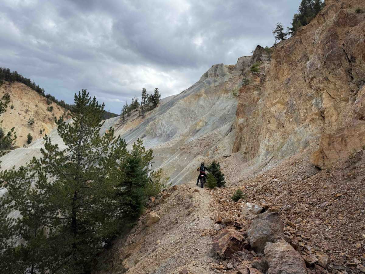
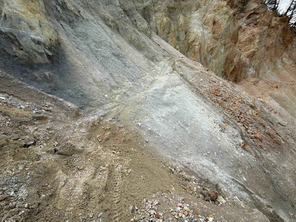
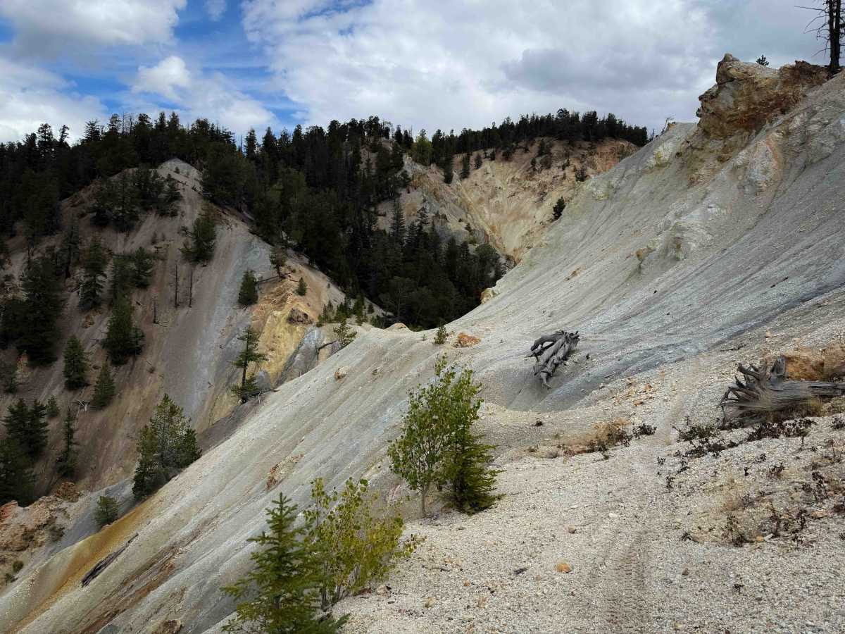
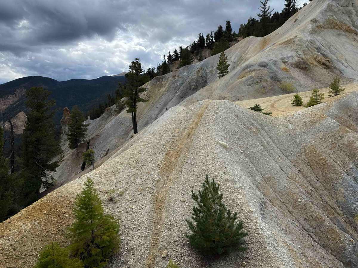
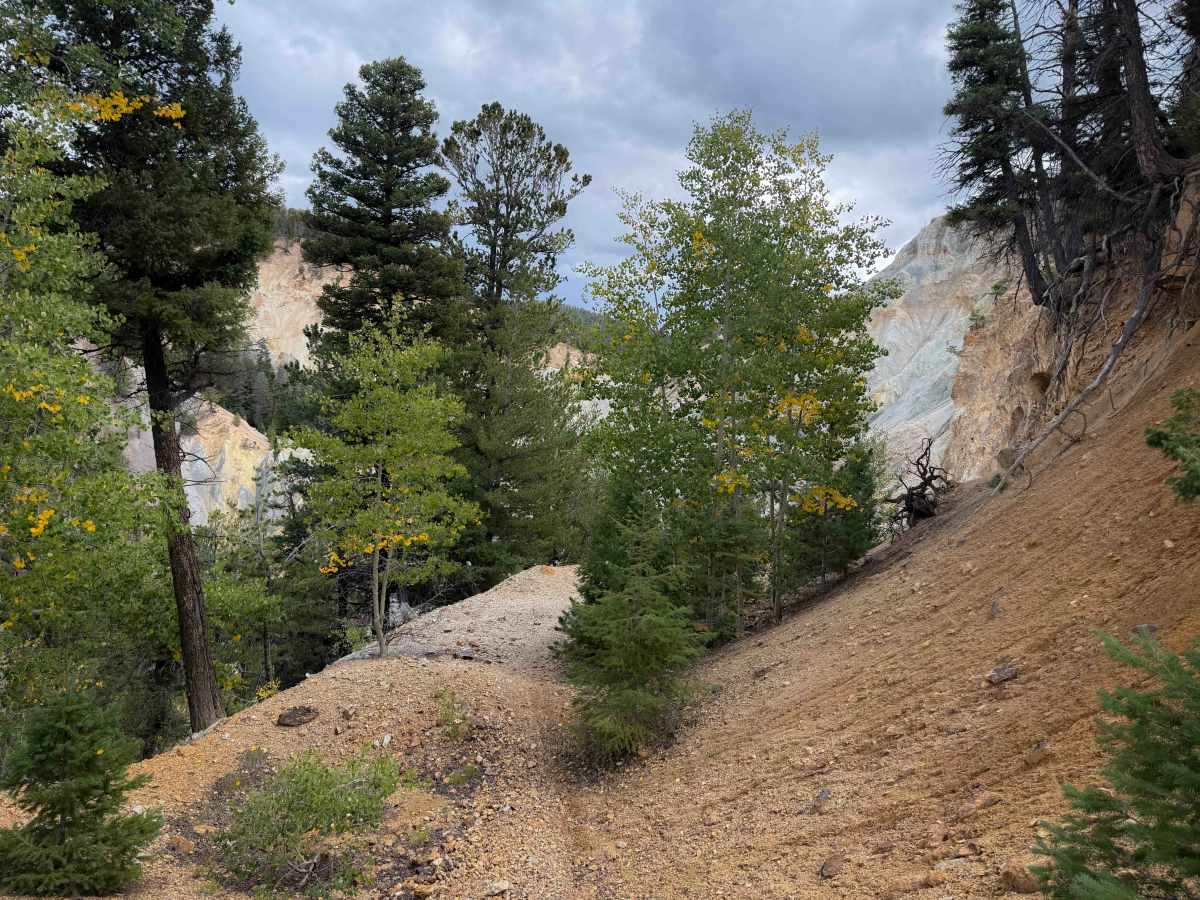
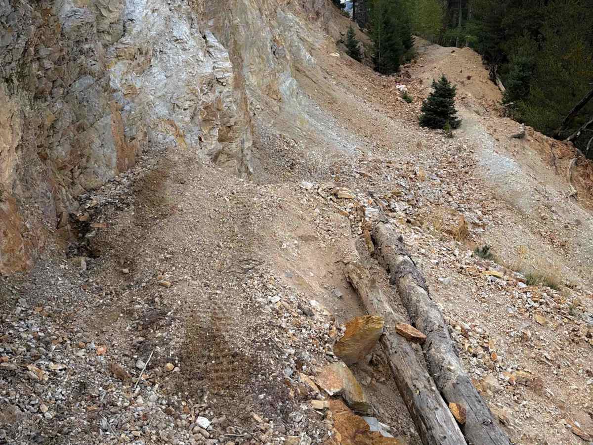
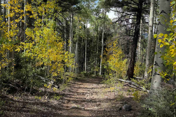
The south entrance of FS 195B starts at an intersection with FS 195 at a fantastic viewpoint overlooking an eroded hillside of colorful clay fins and rock formations. It descends through the forest and then makes a turn directly into the eroded hillside. The trail side-hills across the fins, which are mostly soft clay and gravel, at the base of the rock formations. The trail is very narrow and off-camber in spots as it crosses this eroded section, with significant exposure off the side of the trail. It’s a high-consequence zone most suited to expert-level riders. After crossing the fins, it flattens out, but there’s one more really narrow and exposed hump that you have to ride over like a bridge to get to the next hillside. The views are spectacular in this zone, but it would not be ideal for a beginner rider. It climbs up the next hillside on a wider path with loose rocks, to a couple more viewpoints overlooking the area. This is the most difficult zone of the trail. After the first half mile, it continues as old shelf mining roads through forested corridors of pines and aspens, on mostly wide and gradual slopes. However, there are several unmarked and primitive intersections that are easy to miss without a downloaded GPS map. It becomes more primitive as it goes north, with more frequent downed logs and overgrown bushes. It peters out just before Sawmill Road.
Difficulty
This is an advanced trail due to extreme exposure while side-hilling during the first half mile of trail on the southern end, plus primitive sections of trail on the north end that have logs and will require route-finding. This trail does not connect to Sawmill Road as the map shows. The side-hilling is off-camber and narrow.


 Offroad