Trail Overview
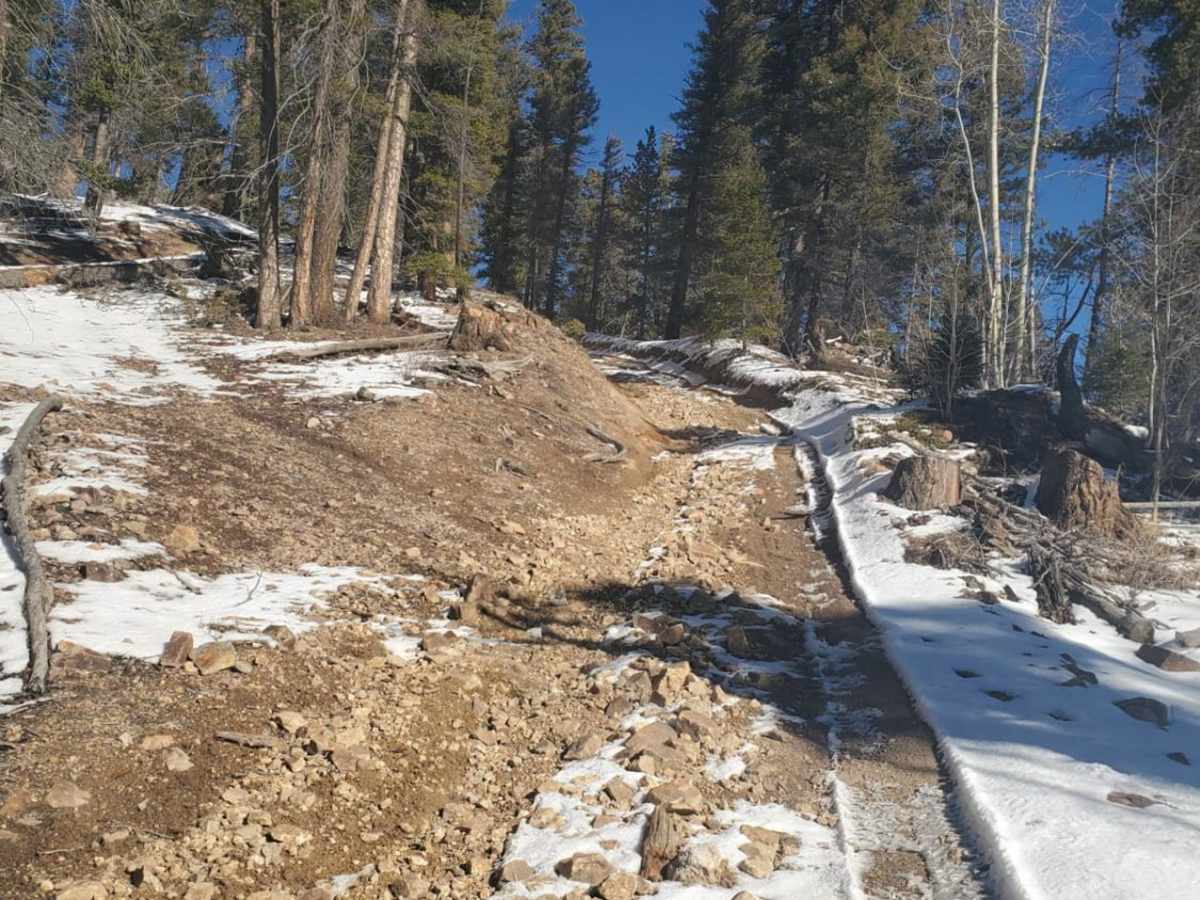
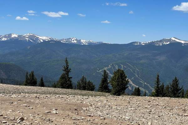
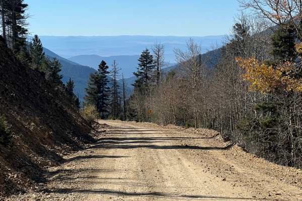
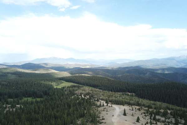
Greenie East is a moderately challenging 4.4-mile off-road trail near Red River, New Mexico, ideal for intermediate drivers looking for an alternative route to the high-elevation ridges of the Carson National Forest. Beginning in Mallette Canyon, this unpaved dirt route diverges from the Sawmill Trail and navigates a series of climbs and descents, dropping into a scenic drainage before ascending back up to follow a prominent ridge crest. With an elevation gain of 1,819 feet and reaching a maximum elevation of 11,224 feet, the trail offers expansive views of the surrounding Sangre de Cristo Mountains. A technical rating of 3 indicates that while the trail is generally well-maintained and highly accessible for high-clearance four-wheel-drive vehicles, drivers should be prepared for two notably steep, loose sections that require careful throttle control and line selection.
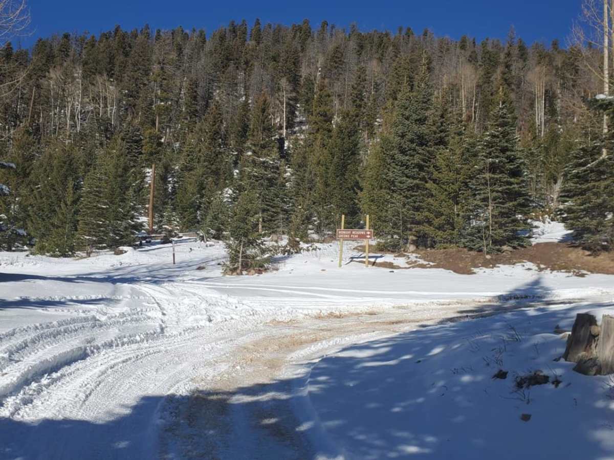
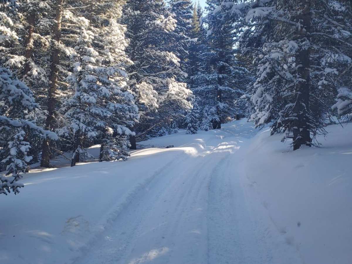
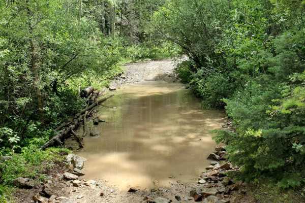
The route serves as an engaging connector, eventually rejoining the direct trail to the famous Greenie Peak—the highest drivable point in New Mexico—just before the junction leading toward Midnight Meadows. Because of its high elevation, starting at 9,646 feet, the trail is highly seasonal and typically only accessible from late spring through late autumn, as heavy snowpack renders the area impassable during winter and early spring. Standard high-clearance SUVs, trucks, and OHVs will find the dirt and rocky surface manageable under dry conditions, though rain can quickly make the steeper segments slick and muddy. Travelers should ensure their vehicles are equipped with a functioning low-range transfer case and proper off-road tires, and always check local Carson National Forest ranger district updates for seasonal road closures before heading out.
Access Description
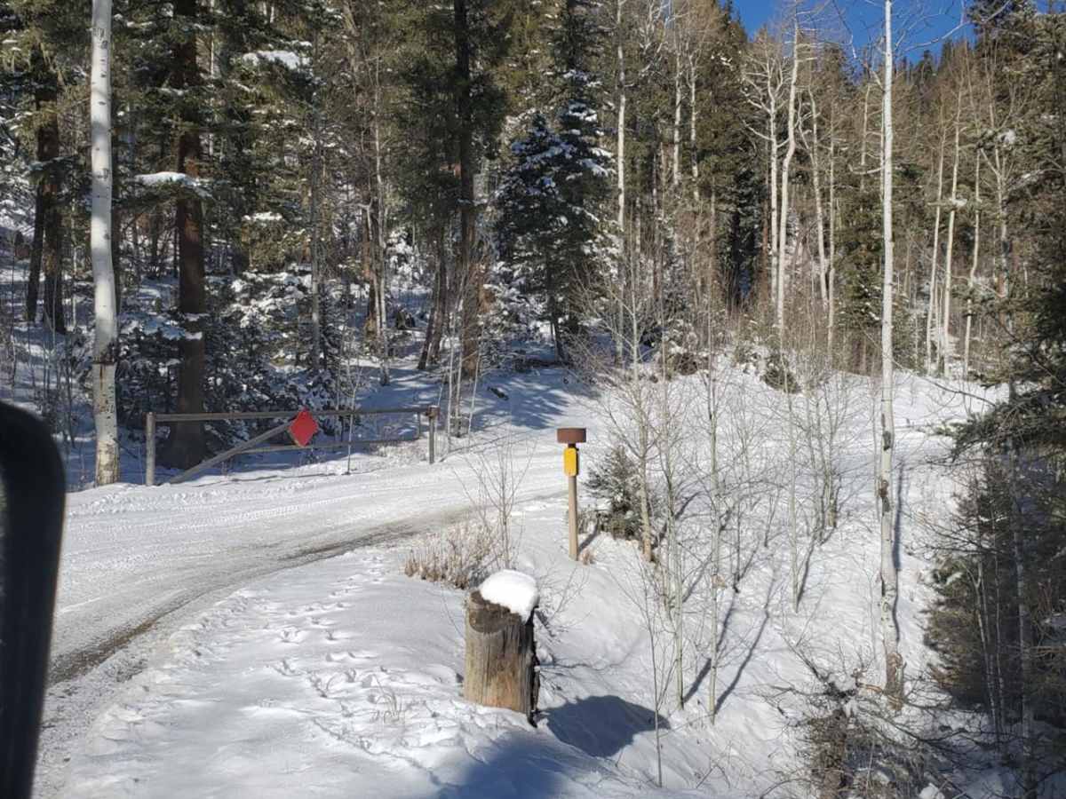
Located within the Carson National Forest, this route does not require any entry fees or special permits for standard street-legal vehicles. However, off-highway vehicles (OHVs) must be registered and display a valid New Mexico OHV permit or a decal from a reciprocating state. The trail is highly seasonal and typically closed during the winter and spring months due to heavy snow accumulation; checking current road status with the Questa Ranger District is highly recommended.

 Offroad