
Dirt Bike Trails
Near Marion, Oregon
Explore All Dirt Bike Trails Near Marion, Oregon
Dirt Bike Trails Near Marion, Oregon
Discover the best dirt bike trails near you. Browse trail maps, check difficulty ratings, and find your next adventure — whether you're looking for a quick ride or an all-day expedition.
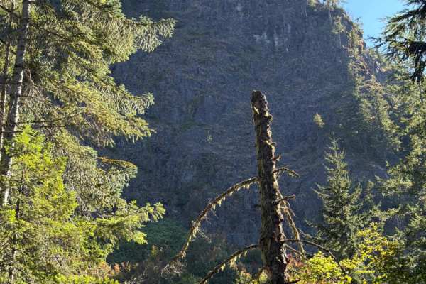
Upper Neal Creek Road
This is the route to get to Snow Peak. From the top, you will have to hike up approximately 1.5mi, or take another motorized route that will require a high-clearance 4WD. The road is larger gravel. It is very passable by 2WD, though a low-ground-clearance car is not recommended, as there are a fe...
Learn more about Upper Neal Creek Road
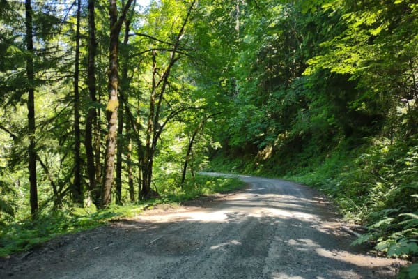
Moose Mountain- FS 2027
Moose Mountain Road, also known as FS 2027, is accessed from US Hwy 20 by turning at Moose Creek Road and crossing the bridge over the South Santiam River. This road is easy gravel, with some potholes and a few sections of larger loose rock. It is mostly single-lane with turnouts. The road passes th...
Learn more about Moose Mountain- FS 2027
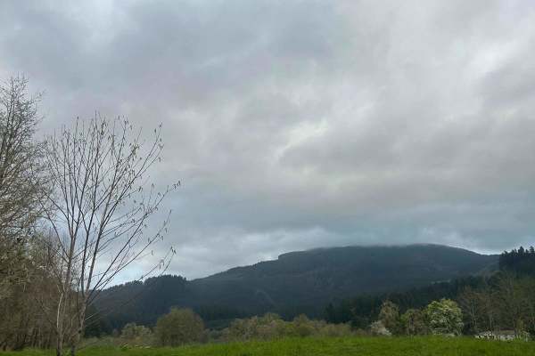
Mary's Peak to Harlan
The first mile to mile and a half is full of potholes, then it smooths out. There are dispersed camping spots along the way along with a couple of streams and views when it opens up. Throughout the trail, there are offshoots for further exploration. Winter travel is not recommended due to high pileu...
Learn more about Mary's Peak to Harlan
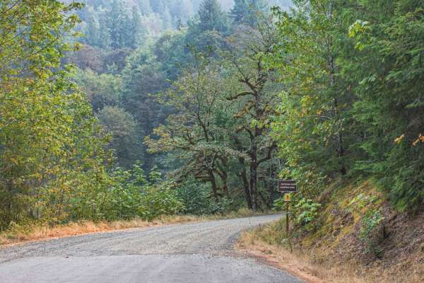
Gordon
Gordon road is a no camping area with signs posted at the beginning. The road offers gravel and a natural mixed surface, that is single wide with room to pull over for vehicles to pass, there are also many potholes on this road. The road runs through the Willamette National Forest and is an access r...
Learn more about Gordon
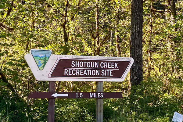
Shotgun to McGowan - Mainline
This is a great weekend drive. Go north on Marcola Road out of Springfield. Shotgun Creek Road is on the left just after you pass the covered bridge. Head up to the fork and take a right towards Crooked Creek Staging Area where you will head straight until you reach FS 15-2-24, as you head up the hi...
Learn more about Shotgun to McGowan - Mainline

Green Mountain Gravel Pits
This route takes you off the main Green Mountain Road, up Green Mountain Middle Road, and to a few gravel pit areas. The route provides a few views of the city of Colton and other cities farther out. The pits are locations with some four-wheeling obstacles and is where a lot of people go to shoot th...
Learn more about Green Mountain Gravel Pits
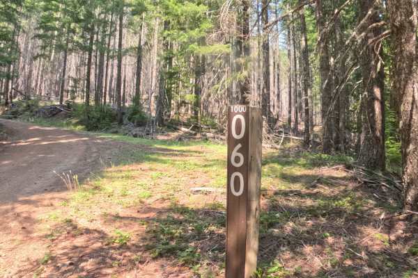
Beard Saddle - FS 1000060
Branching off Forest Service Road 1000, Beard Saddle - FS 1000060 is a quiet out-and-back woodland spur nestled within the Willamette National Forest. The route ascends steadily across the mountainside through a lush conifer forest filled with towering Douglas firs, western red cedars, and a vibrant...
Learn more about Beard Saddle - FS 1000060
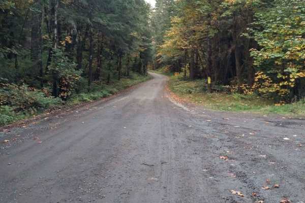
Soda Fork - 2041
This is an easy forest service road that connects US Highway 20 to an extensive forest road network. Much of it is wide enough for two vehicles to meet, but parts are single-lane with turnouts. While the road isn't difficult, there are areas where there is a significant drop-off next to the road and...
Learn more about Soda Fork - 2041
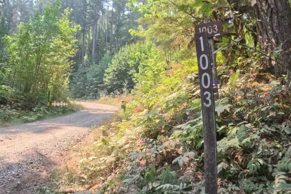
Tom Creek - FS 1003000
Connecting lower valley corridors with high-elevation mountain byways, Tom Creek Road - FS 1003 serves as a primary forest thoroughfare within the Willamette National Forest. The surrounding landscape delivers a dramatic visual shift, climbing from dense, shaded stands of mature Douglas fir and ceda...
Learn more about Tom Creek - FS 1003000
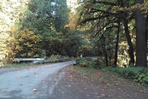
Soda Fork Mainline - FS 2043
This is another easy gravel forest road that connects to the larger road system. There are options to connect to the intersection where FS 2041 and 2027 meet via the FS 2043-320 road or continue east on FS 2043 to connect to 2047 and 2049 which opens more possibilities to continue east and north. Th...
Learn more about Soda Fork Mainline - FS 2043
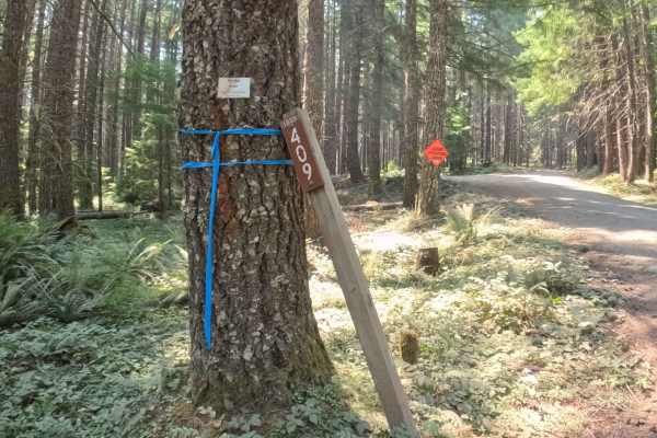
FS 1003409
Branching off FS 1003, FS 1003409 is a climbing mountain spur tucked within the Willamette National Forest. The corridor ascends steadily along the mountainside through a lush Pacific Northwest woodland characterized by towering Douglas firs, fragrant western red cedars, and a vibrant green understo...
Learn more about FS 1003409
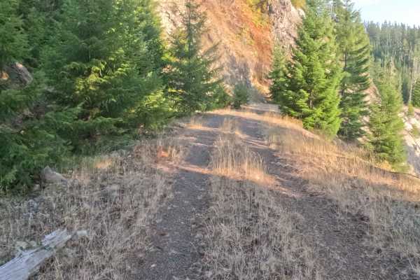
Bills Road - FS 1100855
Accessed directly from the pavement of Forest Road 11, Bills Road - FS 1100855 is a secluded 2.1-mile out-and-back spur carved neatly into the mountainside within a lush, densely timbered National Forest. Outdoor explorers and sightseers utilize this quiet woodland detour to escape the main paved ro...
Learn more about Bills Road - FS 1100855
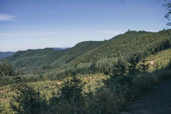
Sugar Loaf
Sugar Loaf is an approachable yet scenic gravel route through the Siuslaw National Forest and private timberlands, making it a perfect drive for beginners, high-clearance four-wheel-drive vehicles, and SxSs seeking sweeping forest views. Spanning approximately 3.7 miles, this easy-rated trail climbs...
Learn more about Sugar Loaf
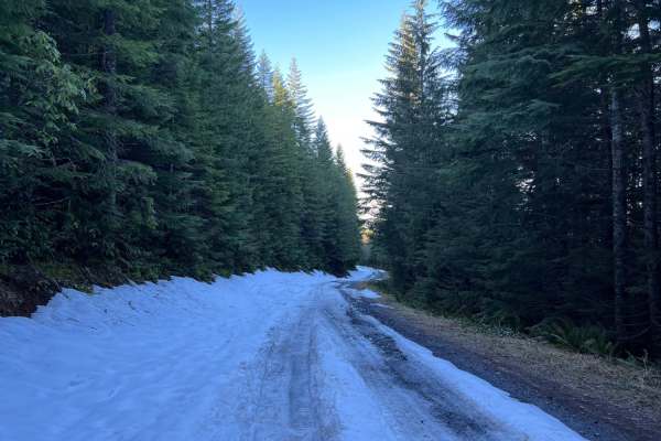
Green Mountain Road
This is one of the main roads heading up to Goat Mountain. There are many spur roads you can take off of Green Mountain Road; just make sure to check the status of gate closures. The area is full of 4x4 and ATV trails. There is snow covering a majority of the road during the winter months.
Learn more about Green Mountain Road
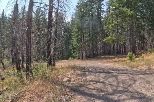
Divide Creek - FS 1011000
Branching off the primary regional road network above the Breitenbush and Detroit Lake basin, Forest Service Road 1011000 (Divide Creek) is a quiet out-and-back mountain spur within the Willamette National Forest. The corridor snakes along a steep hillside through a mixed-conifer landscape where den...
Learn more about Divide Creek - FS 1011000
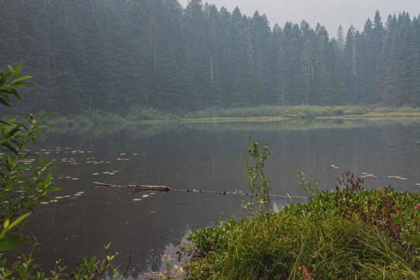
Gordon Lakes
Gordon Lakes is a short typically unmaintained gravel road, that has been worn down over the years, so in spots, it can be muddy when wet and has a few smaller potholes. The road runs through the Willamette National Forest and is an access road to get to Gordon Lakes Trailhead East #3386. It is a ve...
Learn more about Gordon Lakes
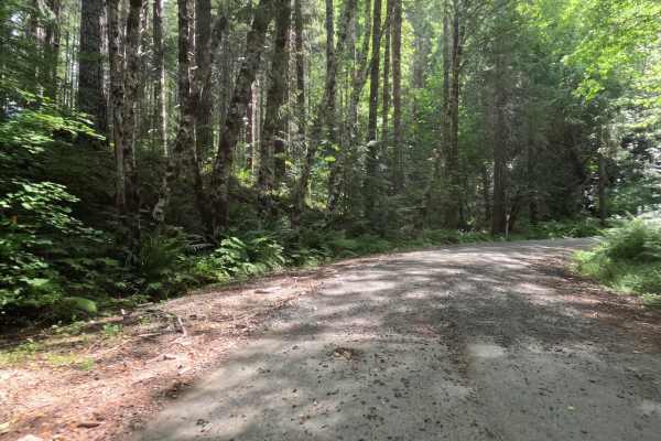
Fox Creek Ridge - FS 4698
Fox Creek Ridge - FS 4698 is a 6.3-mile graded gravel forest service road that provides an exceptionally peaceful backcountry transit. The wide, forgiving path weaves effortlessly through a beautiful, dense canopy of towering evergreen trees, offering ample shade with dappled sunlight filtering thro...
Learn more about Fox Creek Ridge - FS 4698
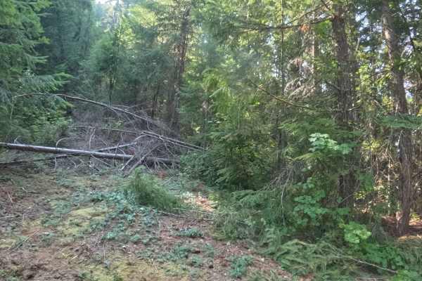
FS 2231721
Branching off Forest Service Road 2231 within the Willamette National Forest, Forest Service Road 2231721 is a quiet out-and-back mountain spur that ascends through the high timber. The corridor winds through a lush Pacific Northwest woodland dominated by tall Douglas firs, western hemlocks, and vib...
Learn more about FS 2231721
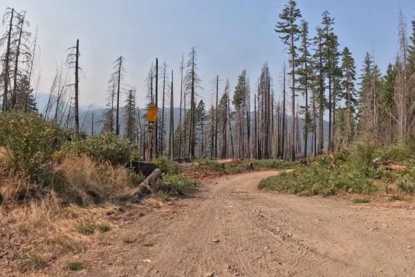
FS 2233505
Branching off FS 2233 within the Willamette National Forest, FS 2233505 is a scenic out-and-back woodland spur that winds down along the mountainside. The corridor navigates an open landscape actively regenerating with vibrant ferns, fresh ground cover, and tall timber snags left in the wake of the ...
Learn more about FS 2233505
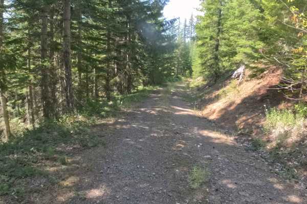
FS 2047860
Set within a lush, verdant evergreen forest dominated by tall Douglas firs, western hemlocks, and dense leafy understory in the Willamette National Forest, FS 2047860 (Abbott Road) offers a tranquil mountain spur drive. Accessed directly off of Forest Service Road 2047 (Sheep Creek Road), this 2.1-m...
Learn more about FS 2047860
ATV trails near Marion, Oregon
Explore ATV-friendly trails near you. These trails are accessible for vehicles up to 50 inches wide, perfect for ATVs and smaller off-road machines.
Upper Neal Creek Road
This is the route to get to Snow Peak. From the top, you will have to hike up approximately 1.5mi, or take another motorized route that will require a high-clearance 4WD. The road is larger gravel. It is very passable by 2WD, though a low-ground-clearance car is not recommended, as there are a fe...
Learn more about Upper Neal Creek Road
Moose Mountain- FS 2027
Moose Mountain Road, also known as FS 2027, is accessed from US Hwy 20 by turning at Moose Creek Road and crossing the bridge over the South Santiam River. This road is easy gravel, with some potholes and a few sections of larger loose rock. It is mostly single-lane with turnouts. The road passes th...
Learn more about Moose Mountain- FS 2027
Mary's Peak to Harlan
The first mile to mile and a half is full of potholes, then it smooths out. There are dispersed camping spots along the way along with a couple of streams and views when it opens up. Throughout the trail, there are offshoots for further exploration. Winter travel is not recommended due to high pileu...
Learn more about Mary's Peak to Harlan
Gordon
Gordon road is a no camping area with signs posted at the beginning. The road offers gravel and a natural mixed surface, that is single wide with room to pull over for vehicles to pass, there are also many potholes on this road. The road runs through the Willamette National Forest and is an access r...
Learn more about Gordon
UTV/side-by-side trails near Marion, Oregon
Find UTV and side-by-side trails near you. These trails accommodate vehicles up to 60 inches wide, ideal for UTVs, side-by-sides, and wider off-road rigs.
Upper Neal Creek Road
This is the route to get to Snow Peak. From the top, you will have to hike up approximately 1.5mi, or take another motorized route that will require a high-clearance 4WD. The road is larger gravel. It is very passable by 2WD, though a low-ground-clearance car is not recommended, as there are a fe...
Learn more about Upper Neal Creek Road
Moose Mountain- FS 2027
Moose Mountain Road, also known as FS 2027, is accessed from US Hwy 20 by turning at Moose Creek Road and crossing the bridge over the South Santiam River. This road is easy gravel, with some potholes and a few sections of larger loose rock. It is mostly single-lane with turnouts. The road passes th...
Learn more about Moose Mountain- FS 2027
Mary's Peak to Harlan
The first mile to mile and a half is full of potholes, then it smooths out. There are dispersed camping spots along the way along with a couple of streams and views when it opens up. Throughout the trail, there are offshoots for further exploration. Winter travel is not recommended due to high pileu...
Learn more about Mary's Peak to Harlan
Gordon
Gordon road is a no camping area with signs posted at the beginning. The road offers gravel and a natural mixed surface, that is single wide with room to pull over for vehicles to pass, there are also many potholes on this road. The road runs through the Willamette National Forest and is an access r...
Learn more about Gordon
The onX Offroad Difference
onX Offroad combines trail photos, descriptions, difficulty ratings, width restrictions, seasonality, and more in a user-friendly interface. Available on all devices, with offline access and full compatibility with CarPlay and Android Auto. Discover what you're missing today!
Open Trail Map