Trail Overview
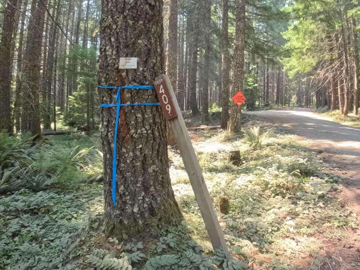
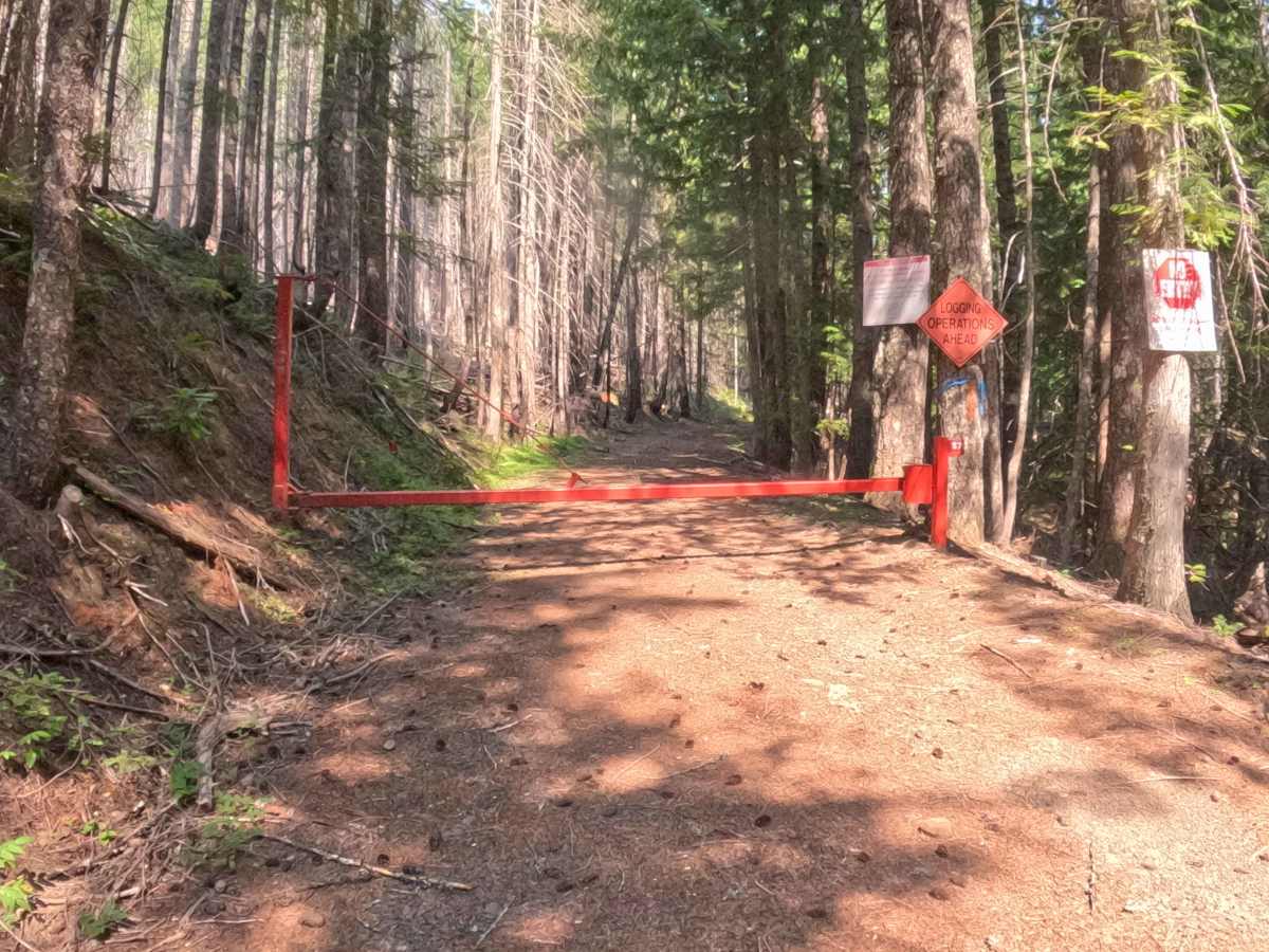
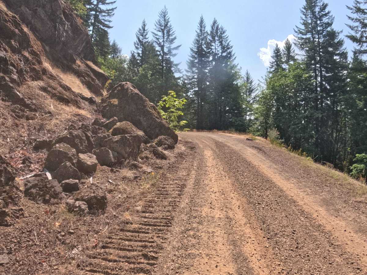
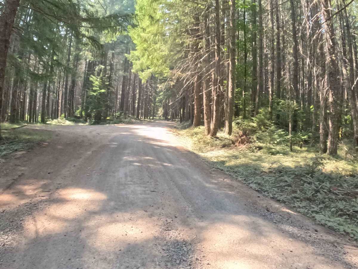
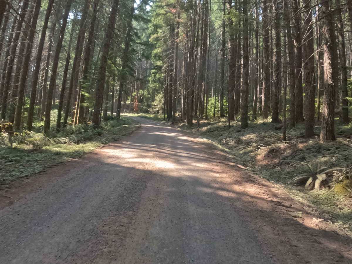
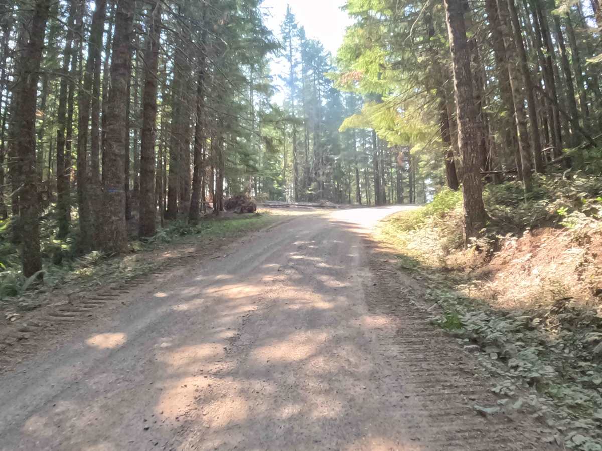
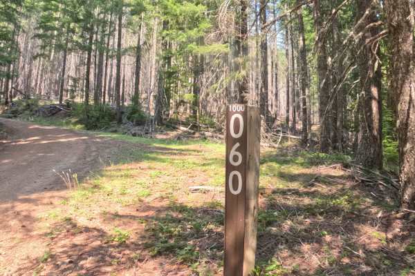
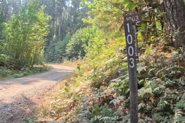
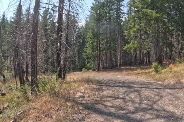
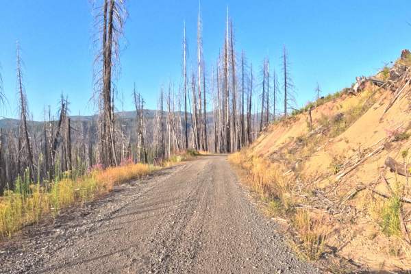
Branching off FS 1003, FS 1003409 is a climbing mountain spur tucked within the Willamette National Forest. The corridor ascends steadily along the mountainside through a lush Pacific Northwest woodland characterized by towering Douglas firs, fragrant western red cedars, and a vibrant green understory of ferns and native shrubs. Featuring a smooth, recently regraded roadbed of hard-packed gravel and crushed stone, the route carries an accessible difficulty rating of 1. Outdoor enthusiasts and sightseers use this winding track for peaceful backcountry touring and picturesque valley views through the trees. The roadway twists along hillside cuts before concluding at a closed red gate at the junction with FS 1000060 due to active logging operations, requiring travelers to turn around and descend the same way.
Difficulty
Rated 1, this forest road offers a relaxed and non-technical drive over a consistently firm, well-graded gravel surface. The track features gentle elevation gains with no deep ruts, high-clearance washouts, or exposed boulder obstacles across the main travel lane. Motorists should maintain a controlled, modest speed when navigating blind corners and along narrower hillside sections with mild outer edge exposure. The open space preceding the closed logging gate provides ample room to execute a smooth turnaround.