Trail Overview
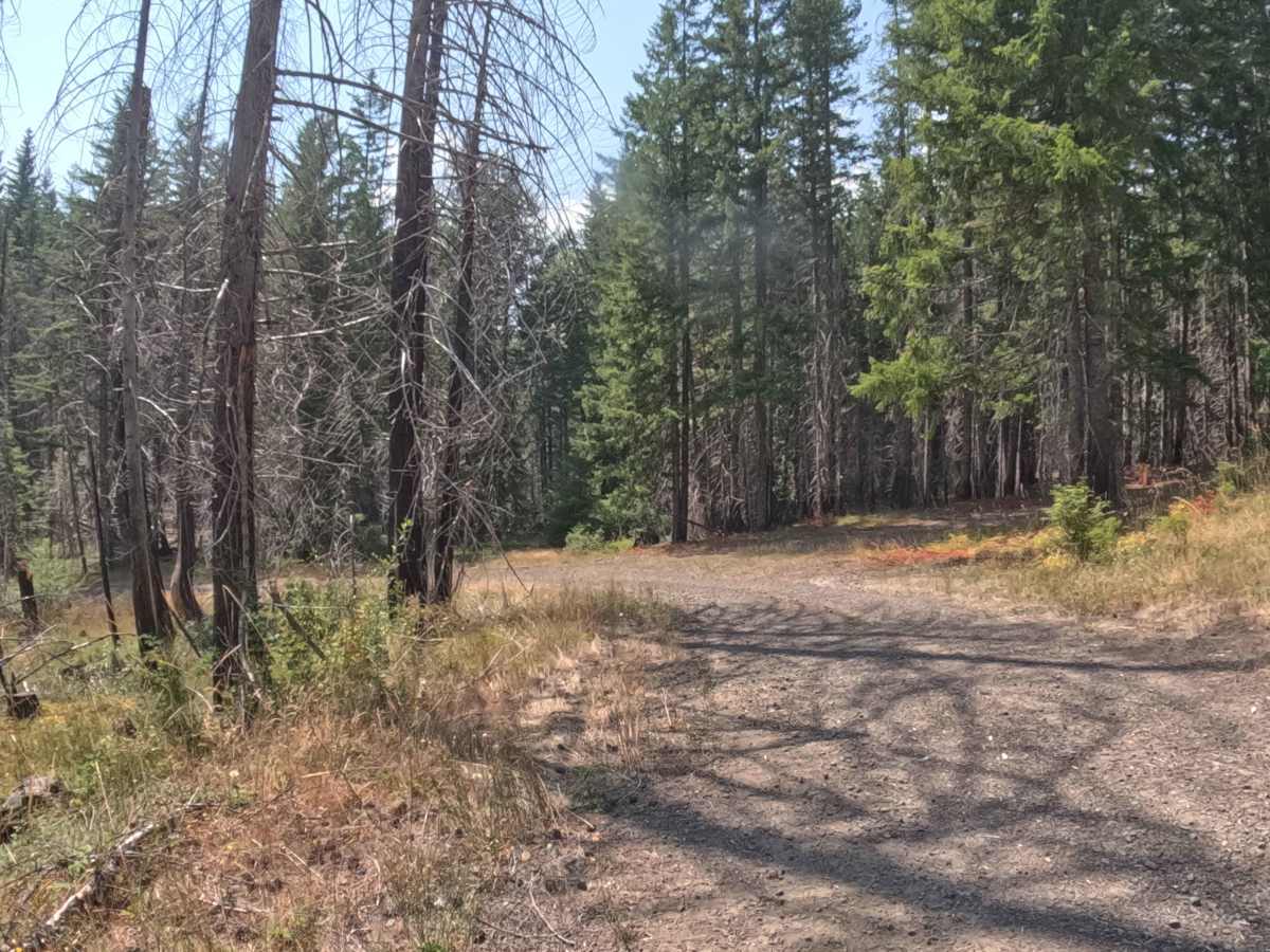
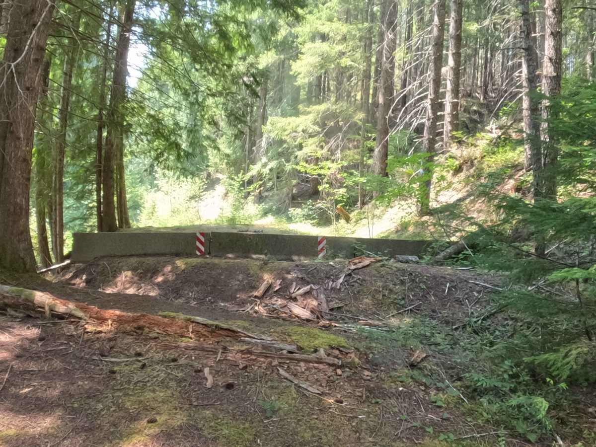
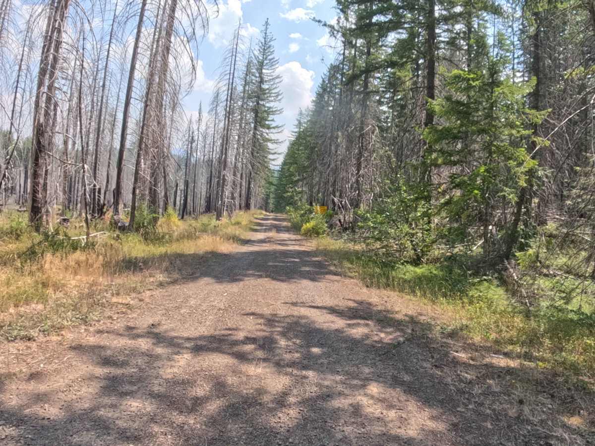
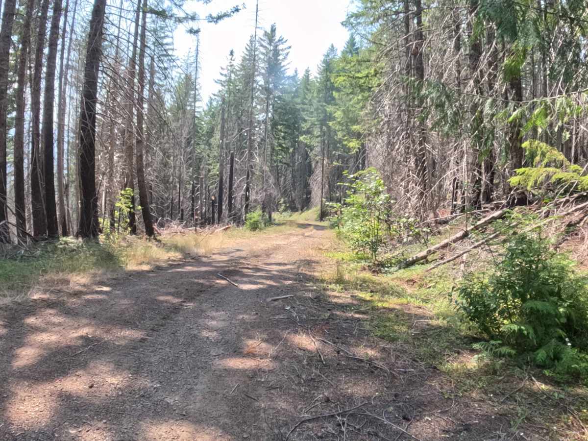
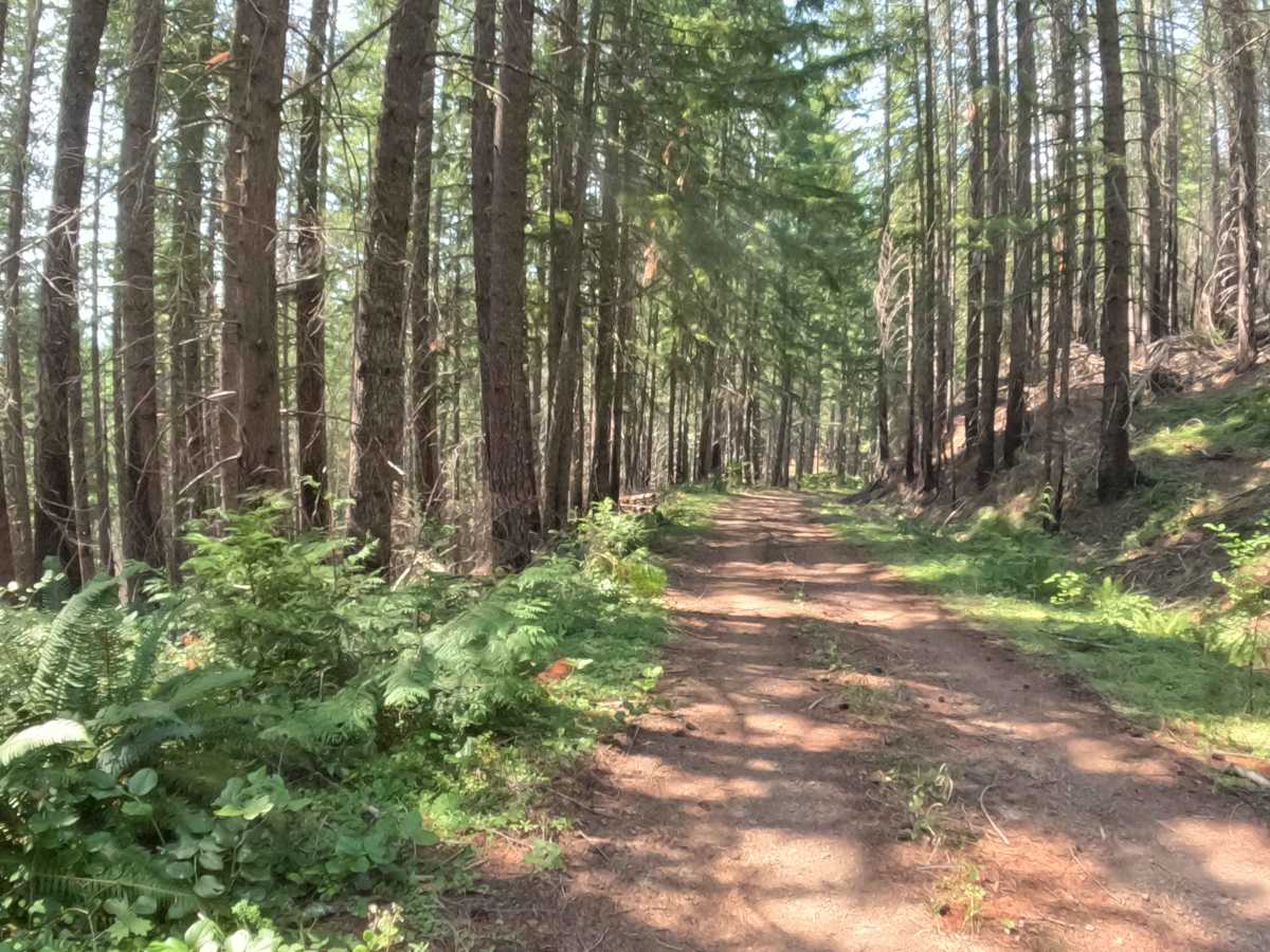
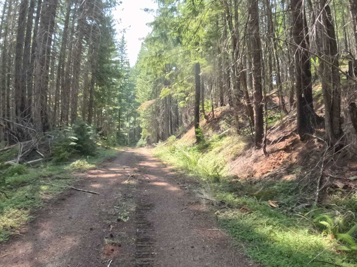
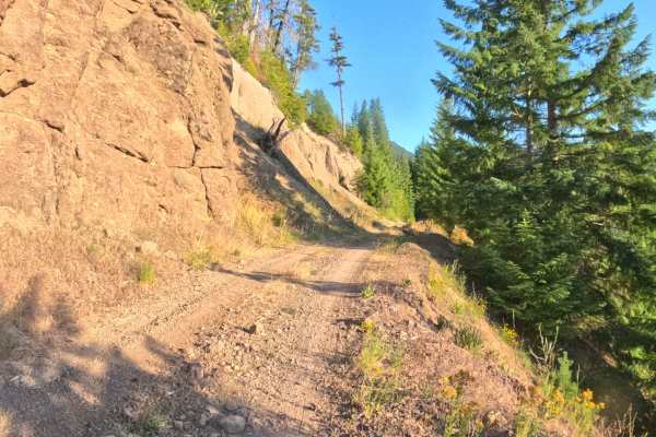
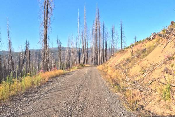
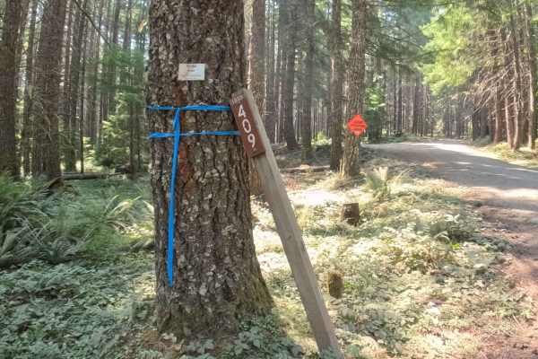
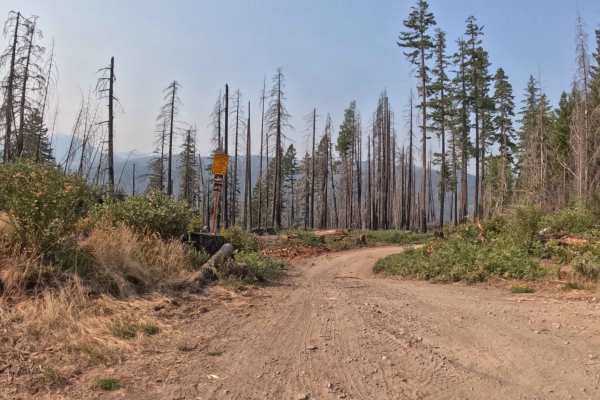
Branching off the primary regional road network above the Breitenbush and Detroit Lake basin, Forest Service Road 1011000 (Divide Creek) is a quiet out-and-back mountain spur within the Willamette National Forest. The corridor snakes along a steep hillside through a mixed-conifer landscape where dense stands of Douglas fir, cedar, and verdant fern undergrowth intermingle with timber stands recovering from the 2020 Beachie Creek Fire. Consisting of a single-lane, hard-packed gravel and native earth roadbed, the route holds a mild difficulty rating of 2. Backcountry travelers and sightseers explore this route for tranquil forest touring and elevated perspectives over the surrounding Divide Creek drainage. The road maintains a steady downhill trajectory around sweeping corners before ending abruptly at a barricaded road closure and earthen berm blocking a severe washout, requiring visitors to turn around and head back up.
Difficulty
Rated 2, this route delivers a straightforward and non-technical downhill drive over a firm gravel foundation. Operators will encounter several installed water bars and gentle drainage mounds cut across the tread, requiring reduced speeds to ensure adequate clearance. A few tight, curving bends feature blind sightlines where caution is recommended. Roadside brush and alder branches press inward along narrower sections, making light paint contact possible on wider vehicles. The drive concludes at a striped concrete barrier at the washout edge, which provides sufficient room to execute a multi-point turnaround.