Trail Overview
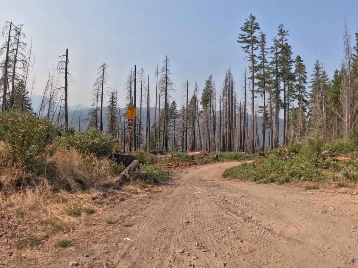
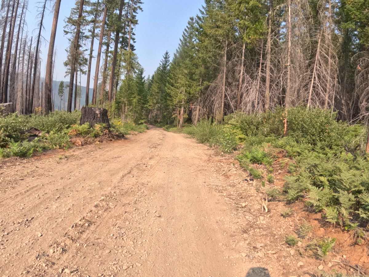
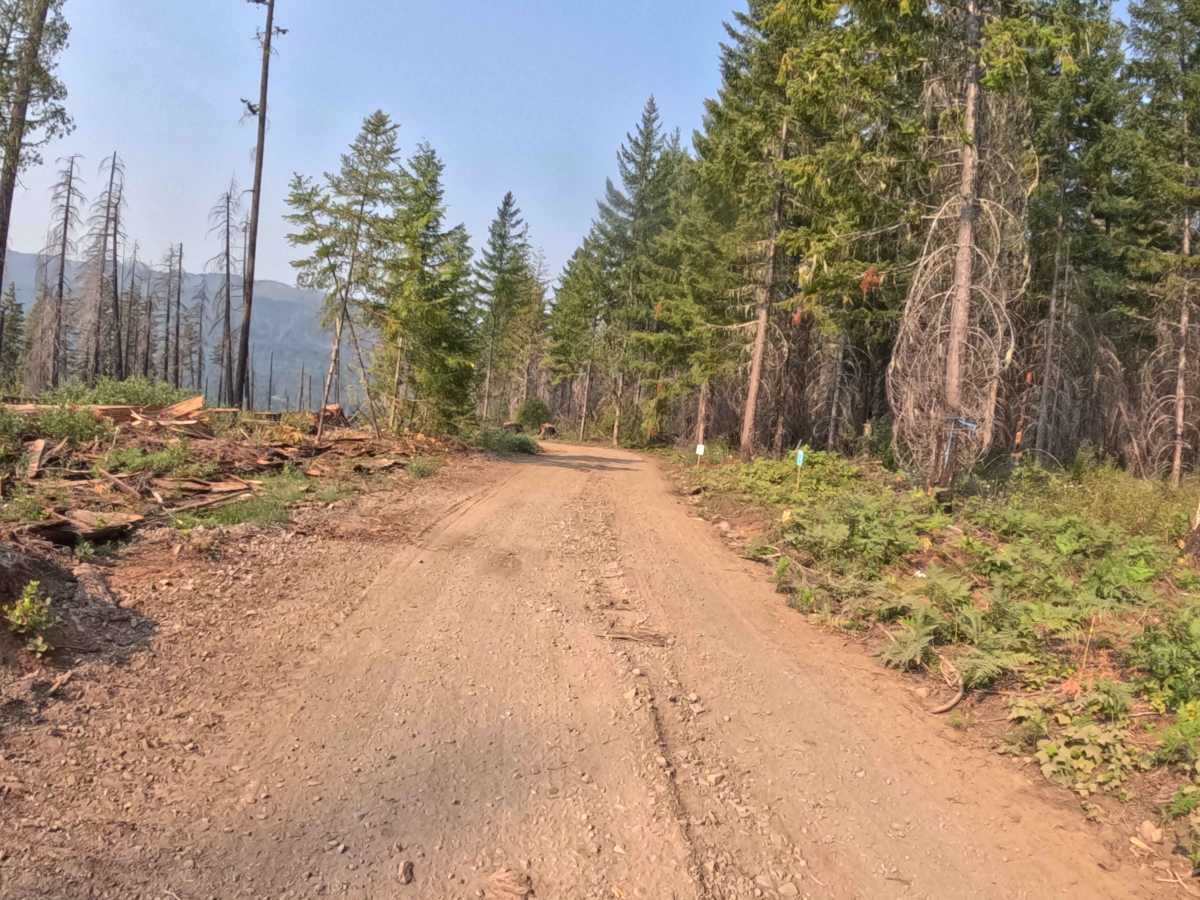
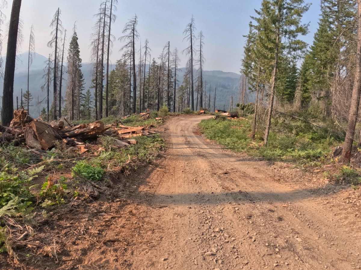
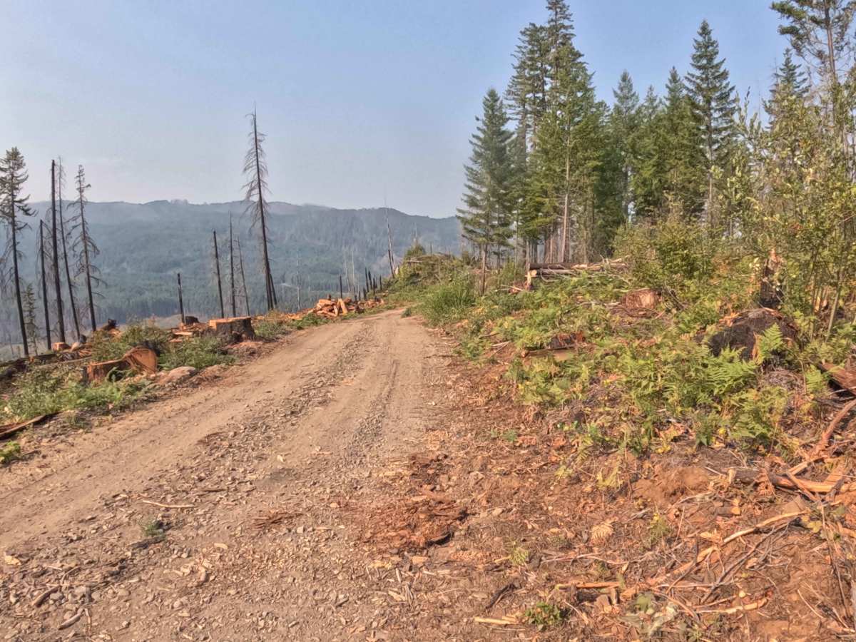
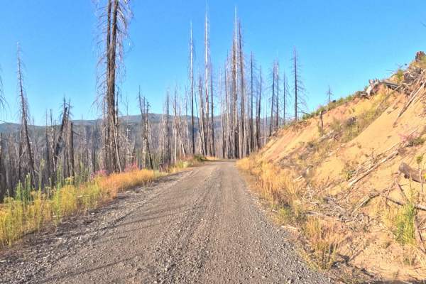
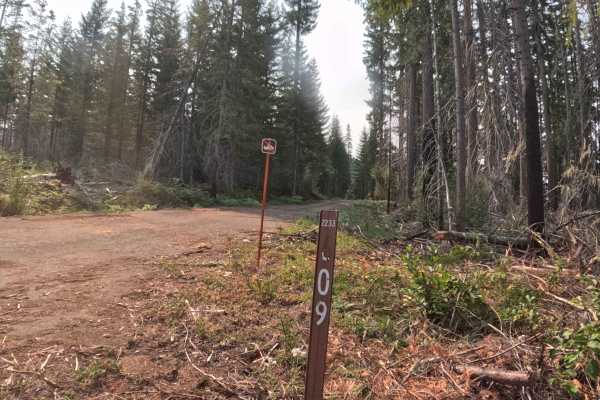
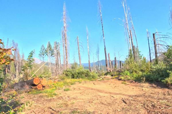
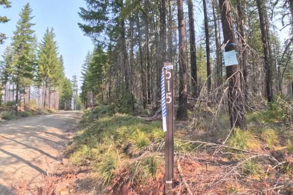
Branching off FS 2233 within the Willamette National Forest, FS 2233505 is a scenic out-and-back woodland spur that winds down along the mountainside. The corridor navigates an open landscape actively regenerating with vibrant ferns, fresh ground cover, and tall timber snags left in the wake of the 2020 Lionshead Fire. Consisting of a recently cleared, single-lane roadbed of packed dirt and loose gravel, the trail holds a beginner-friendly difficulty rating of 1. Outdoor enthusiasts and sightseers explore this peaceful spur for relaxed forest touring and open vantage points that deliver sweeping views of the surrounding mountains and river valley below. The track maintains a steady downward trajectory through forest management areas before terminating at a wide clearing at the end of the maintained route.
Difficulty
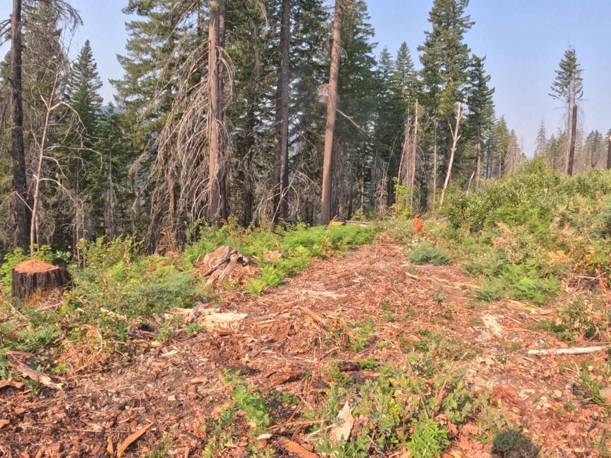
Rated 1, this spur offers an easy and non-technical drive down a gentle 3–5% continuous slope. The roadbed consists of a firm gravel and earth foundation scattered with minor surface stones, light wood chips, and small twigs from recent clearing efforts. There are no technical rock steps, deep cross-ditches, or severe articulation hazards along the travel lane. Maintaining a controlled speed on the descent, straddling small loose debris, and utilizing the cleared landing at the terminus to turn around ensures a smooth and trouble-free trip.