Trail Overview
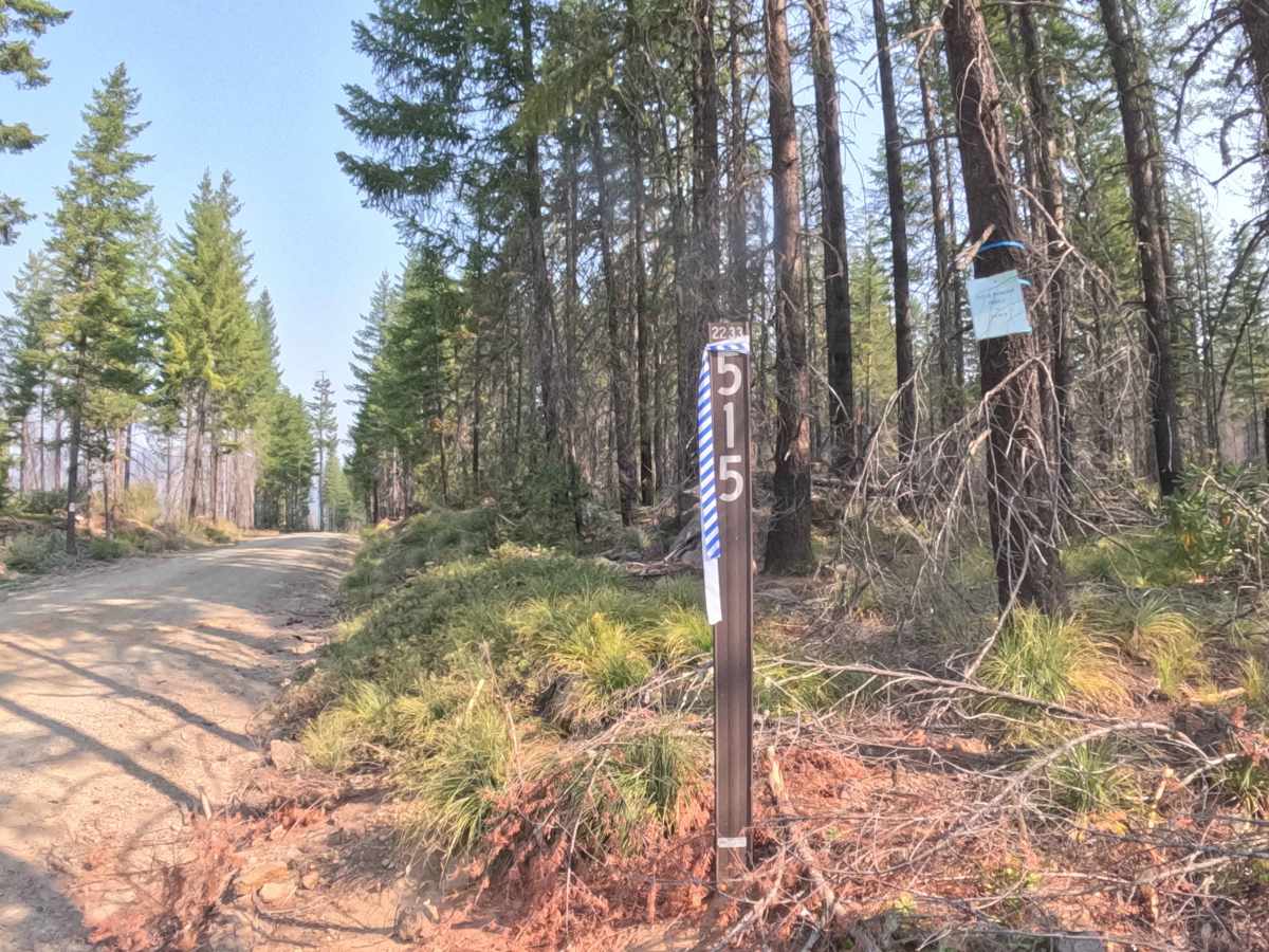
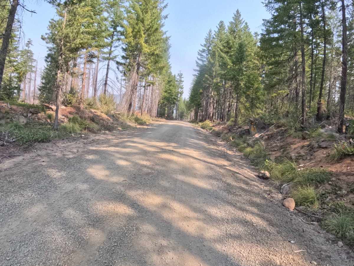
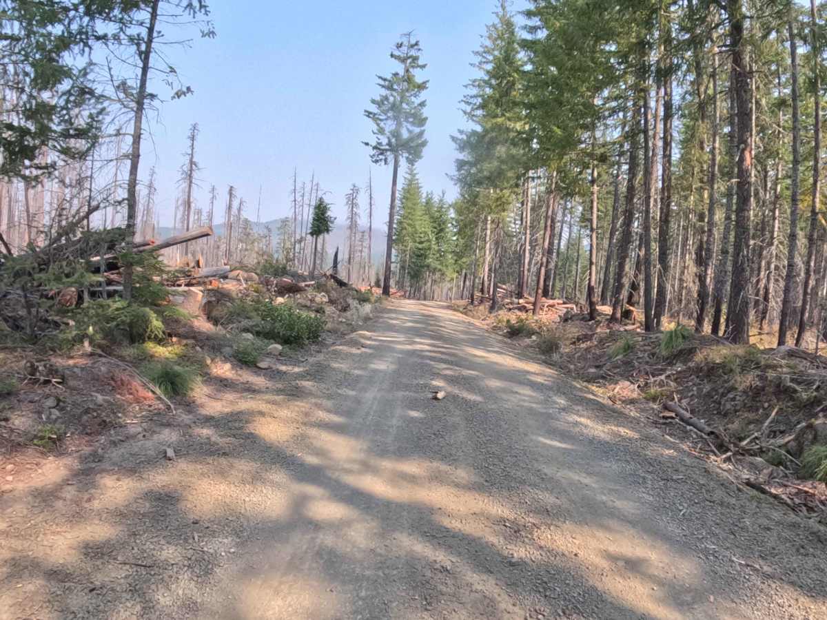
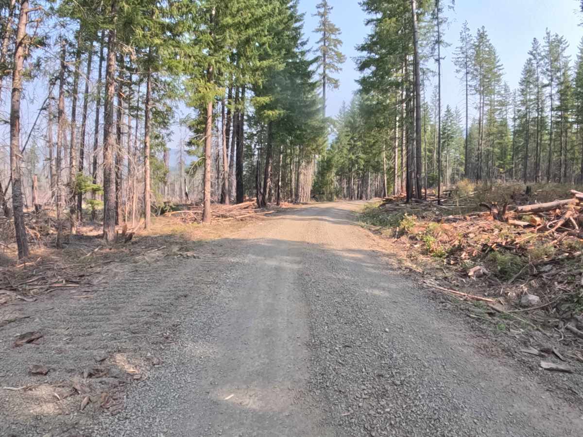
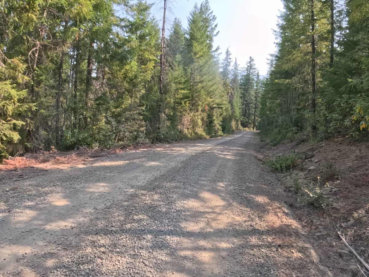
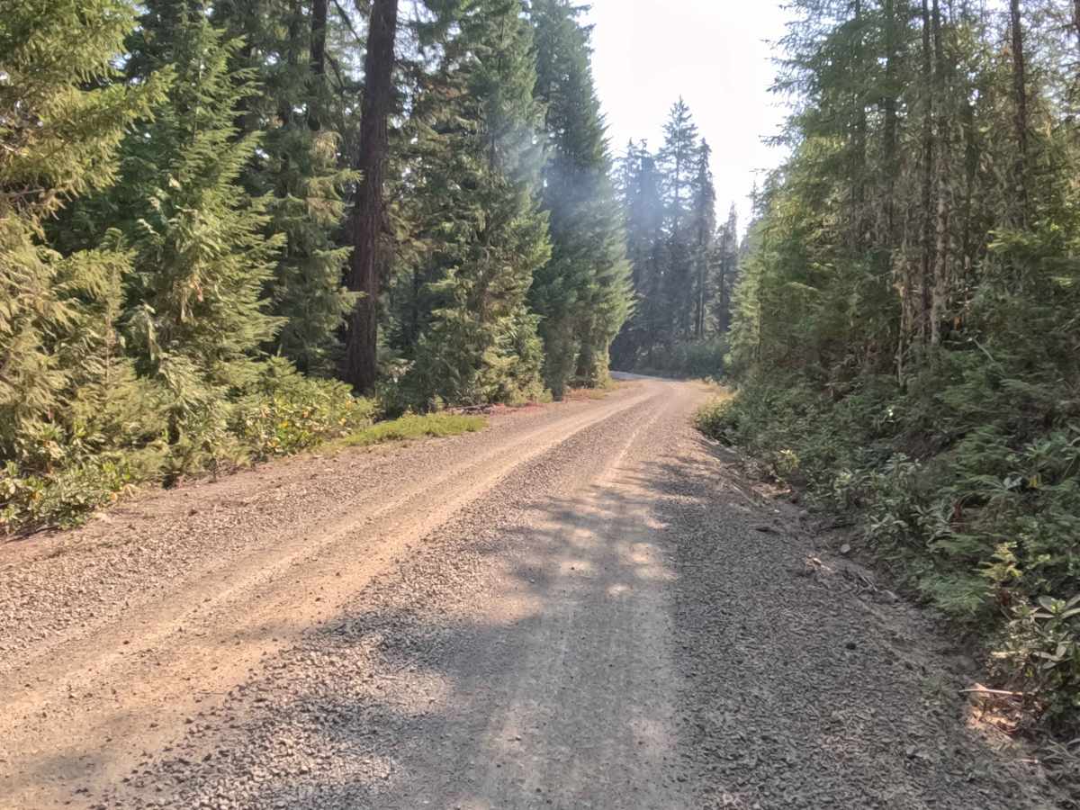
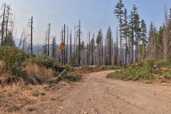
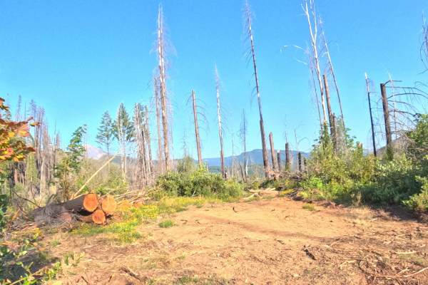
Connecting McCoy Creek Road - FS 2233000 with Pigeon Prairie - FS 2231810, Bullfrog - FS 2233515 serves as a vital backcountry connector within the Willamette National Forest. The corridor winds through a lush, verdant canopy dominated by towering Douglas firs, western hemlocks, and dense fern underbrush that remained unburned by recent regional fires. Maintained as a broad, hard-packed crushed gravel roadway that was recently resurfaced, the route carries an accessible difficulty rating of 1. Along its winding course, the road crosses Boulder Creek and several seasonal tributaries, making it a favored transit link for sightseers, campers, and forest travelers moving between neighboring mountain basins. Offering dependable passage through the district, this shaded route delivers a scenic and relaxed woodland drive from end to end.
Difficulty
Rated 1, this connector road provides a completely smooth and non-technical drive across a firm, well-graded gravel surface. The roadway remains wide and predictable throughout, free of deep ruts, exposed boulders, high-clearance obstacles, or steep shelf exposure. Culverts and seasonal creek crossings are well-fortified, presenting no traction or clearance challenges under standard conditions. Drivers should simply maintain a steady, moderate pace and exercise basic caution for oncoming forest traffic around sweeping bends.