Trail Overview
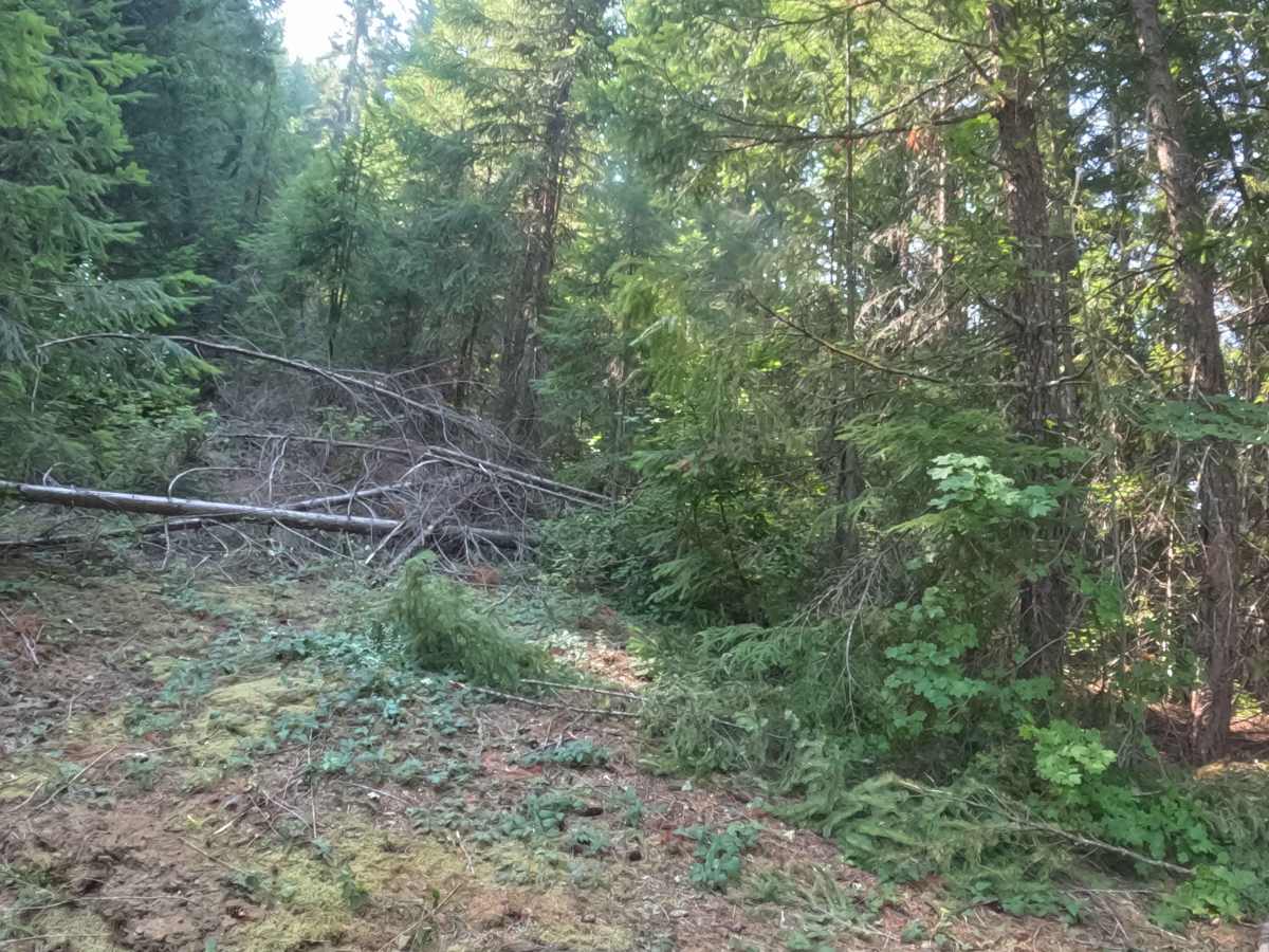
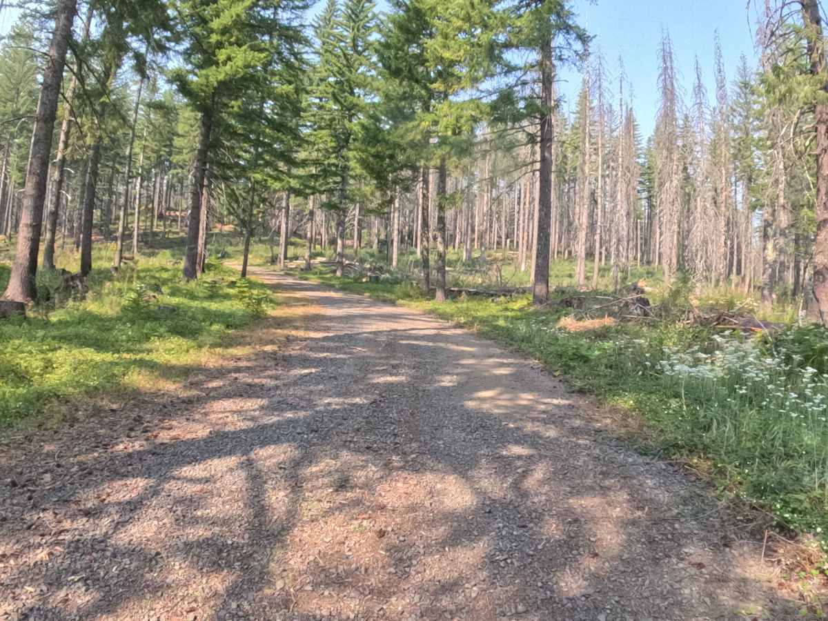
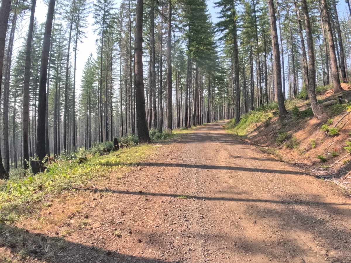
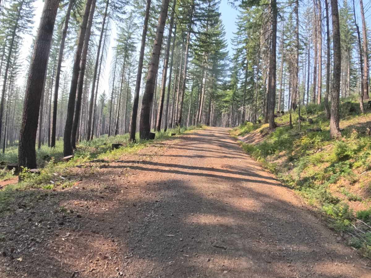
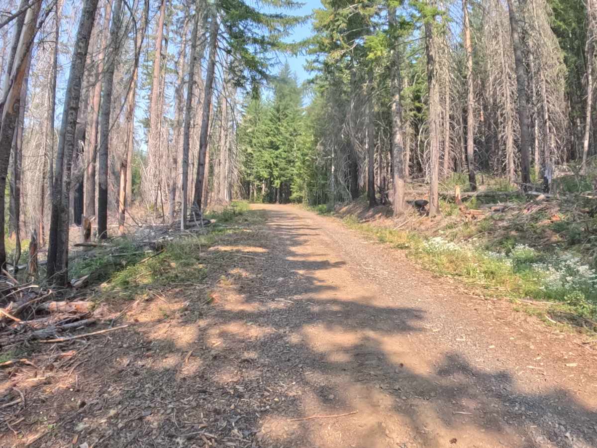
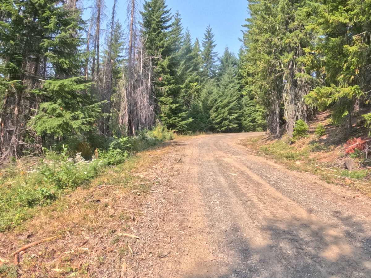
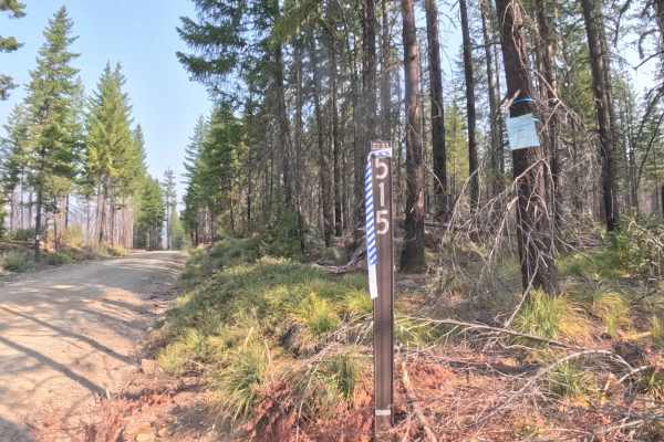
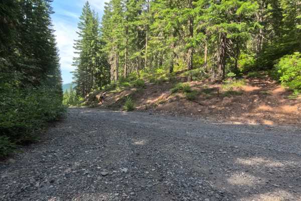
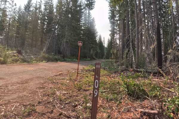
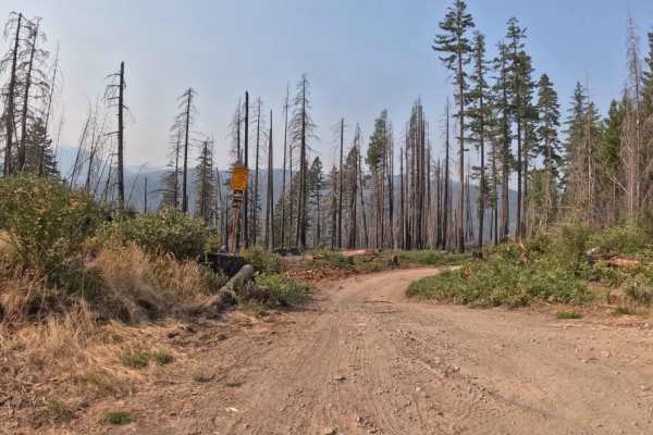
Branching off Forest Service Road 2231 within the Willamette National Forest, Forest Service Road 2231721 is a quiet out-and-back mountain spur that ascends through the high timber. The corridor winds through a lush Pacific Northwest woodland dominated by tall Douglas firs, western hemlocks, and vibrant green fern undergrowth, bordering timber stands recovering from the 2020 Lionshead Fire. Featuring a hard-packed gravel and native soil roadbed, the route carries an accessible difficulty rating of 1. Outdoor recreationists frequently explore this peaceful forest path for scenic backcountry touring, wildlife viewing, and secluded mountain atmosphere. While older maps display a junction in the upper section, the roadway remains a single well-defined corridor that curves left before concluding at a wide dirt landing where fallen timber blocks further vehicle travel.
Difficulty
Rated 1, this spur offers an effortless and straightforward drive along a gentle, steady uphill grade. The lower roadbed features a smooth, hard-packed gravel surface that transitions to softer dirt, small loose stones, and light forest debris near the upper elevations. There are no technical bedrock ledges, steep drop-offs, or deep water ruts along the route. Maintaining a moderate pace, avoiding loose branch litter along the shoulders, and utilizing the cleared landing area to turn around before the downed logs ensures a relaxed trip.