Trail Overview
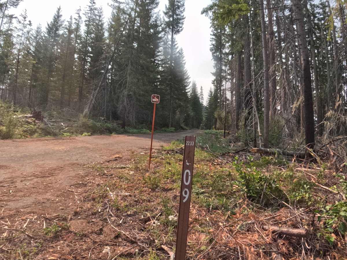
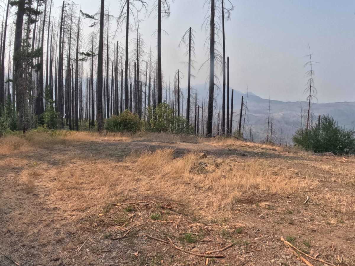
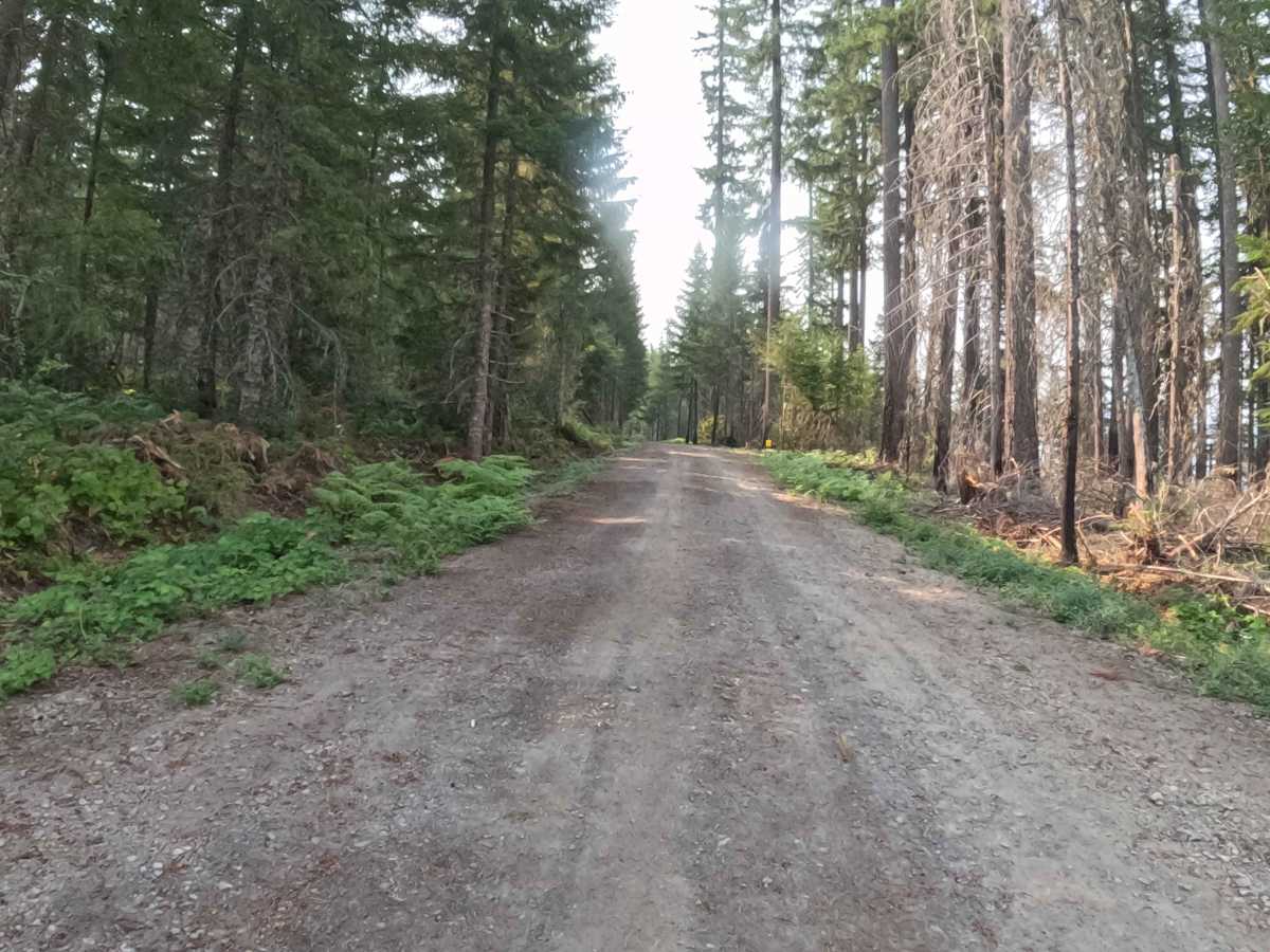
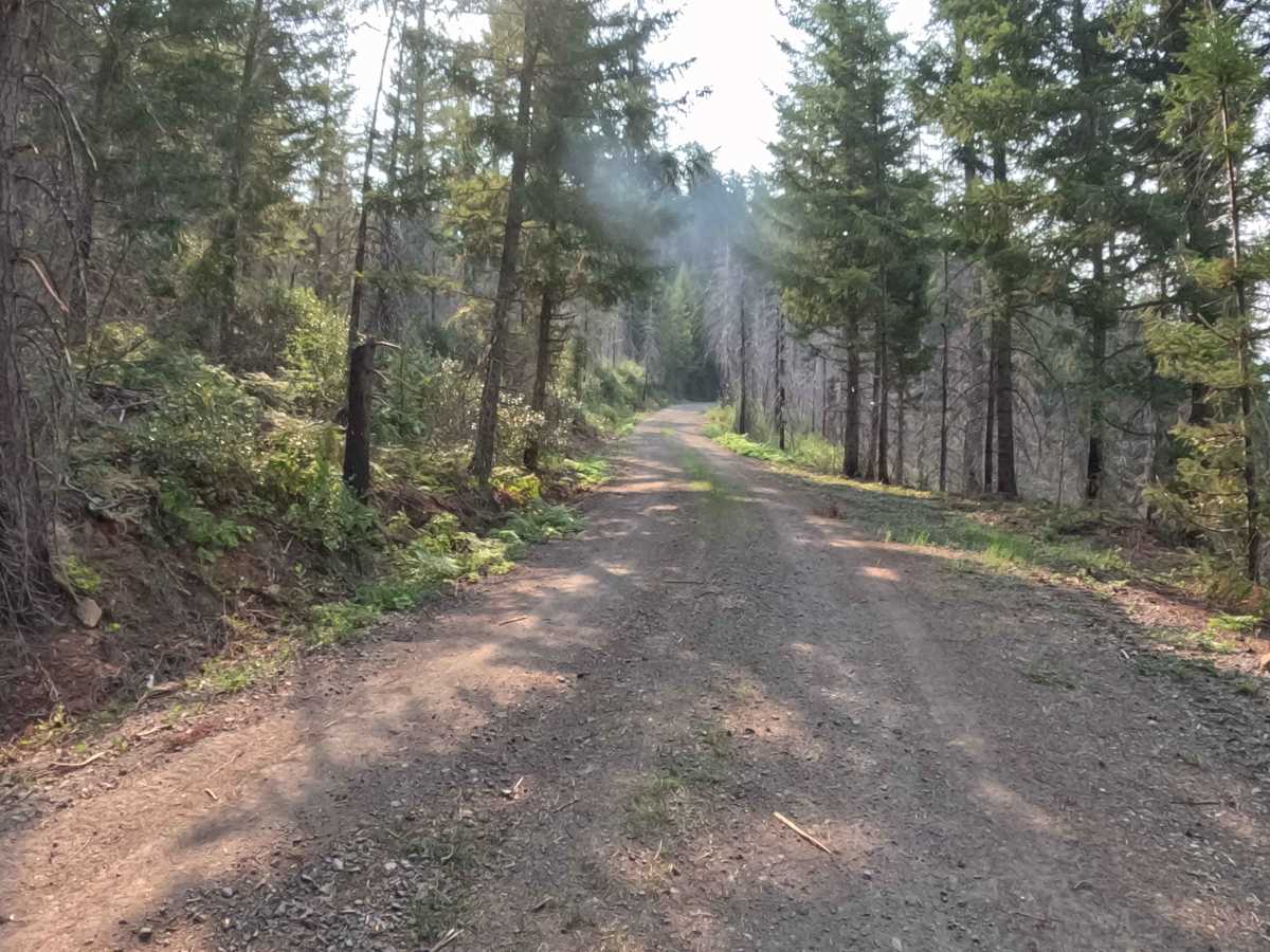
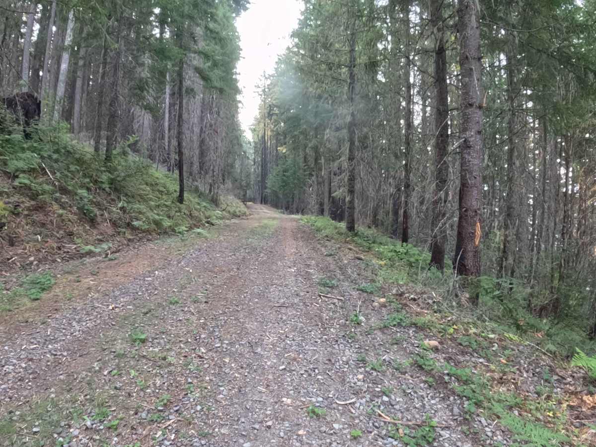
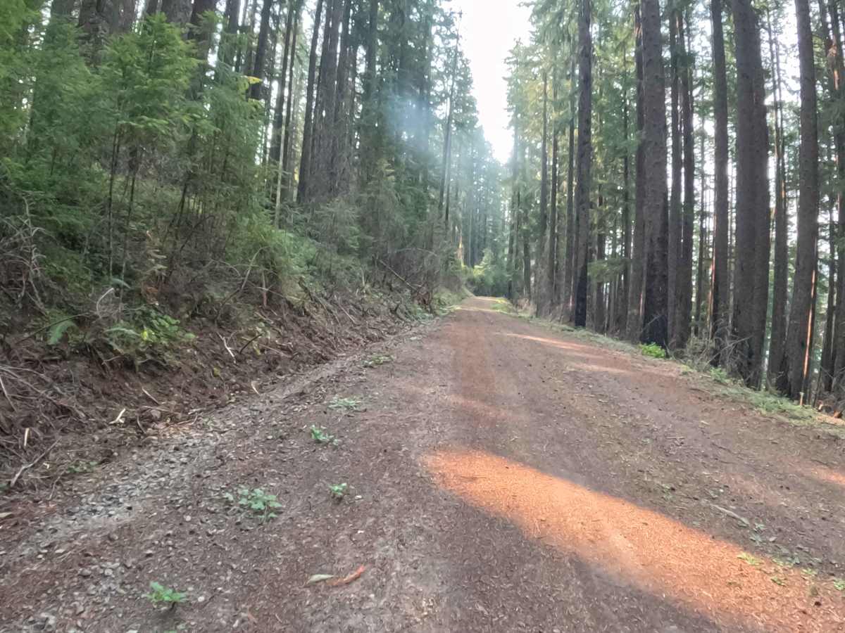
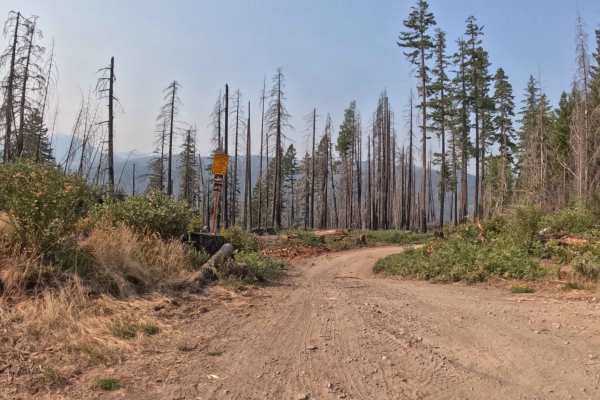
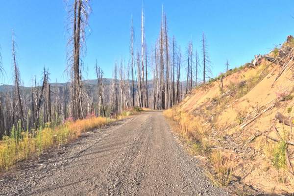
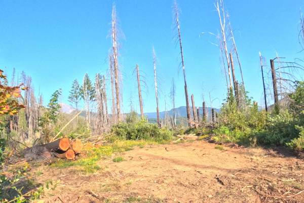
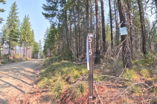
Branching off FS 2233, FS 2233609 is a scenic out-and-back mountain spur located within the Willamette National Forest. The corridor winds through a striking mountainside environment that alternates between dense, vibrant green conifer pockets and standing timber snags recovering from the 2020 Lionshead Fire. Composed of a newly smoothed, hard-packed gravel and native dirt surface, the track holds an easy difficulty rating of 1. Outdoor enthusiasts and sightseers primarily navigate this route to reach a spacious terminal landing that delivers breathtaking panoramic vistas overlooking the deep river valley and surrounding Cascade ridgelines. The trail offers a peaceful, open ascent through the timber before concluding at the scenic overlook clearing.
Difficulty
Rated 1, this spur provides a gentle and non-technical drive across a firm, well-graded gravel foundation. The roadway is wide and uniform throughout, free of deep ruts, exposed bedrock ledges, fallen logs, or severe cross-axle washouts. Grades remain mild and predictable from the initial junction to the mountain overlook. Maintaining a controlled speed around gentle curves and utilizing the broad turnaround area at the terminus ensures a relaxed, hassle-free outing.