Trail Overview
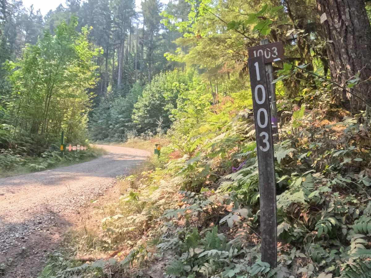
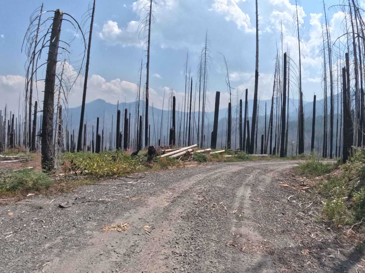
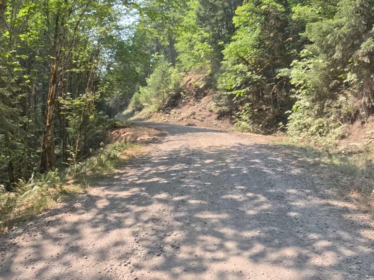
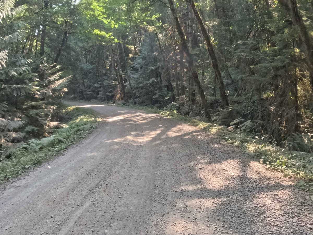
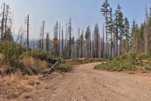
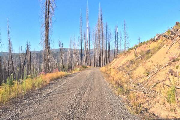
Connecting lower valley corridors with high-elevation mountain byways, Tom Creek Road - FS 1003 serves as a primary forest thoroughfare within the Willamette National Forest. The surrounding landscape delivers a dramatic visual shift, climbing from dense, shaded stands of mature Douglas fir and cedar into open, sunlit ridgelines actively recovering with vibrant fireweed and native understory brush following the 2020 Lionshead Fire. Maintained as a wide, well-graded hard-packed gravel roadway, the route carries a beginner-friendly difficulty rating of 1. Forest visitors and sightseers frequently use this scenic pass to travel between river valleys, reach dispersed backcountry spurs, and enjoy expansive panoramic vistas stretching across neighboring Cascade peaks and deep canyon basins.
Difficulty
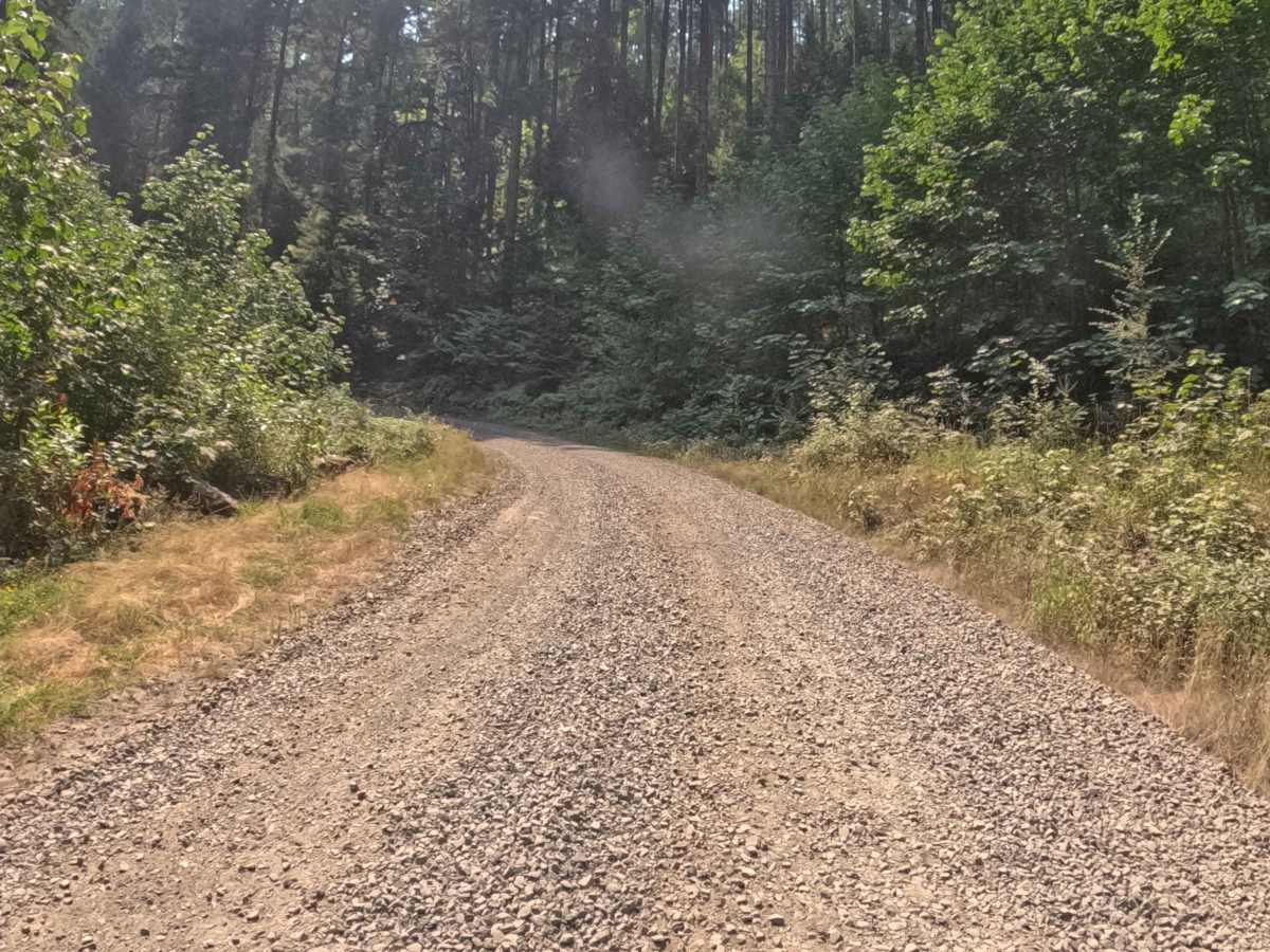
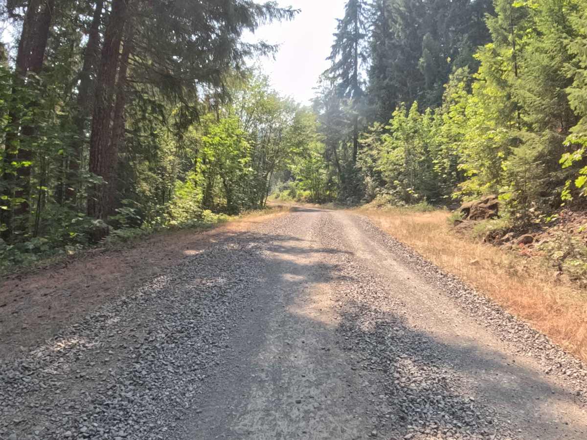
Rated 1, this wide gravel connector offers a completely smooth and non-technical drive suitable for any standard passenger vehicle. The road surface is well-graded, predictable, and free of significant bedrock ledges, deep cross-ditches, or loose boulder fields. Drivers should simply maintain a steady, controlled speed and exercise caution around blind hillside curves where oncoming recreational or timber management traffic may be encountered.