Trail Overview
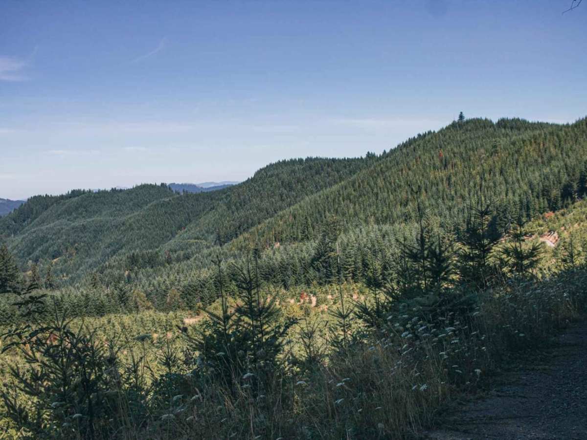
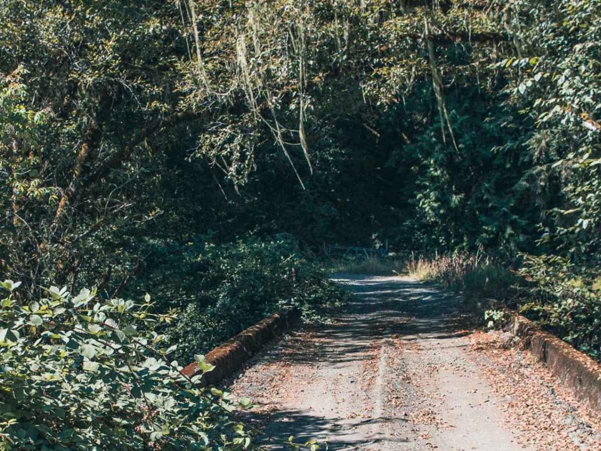
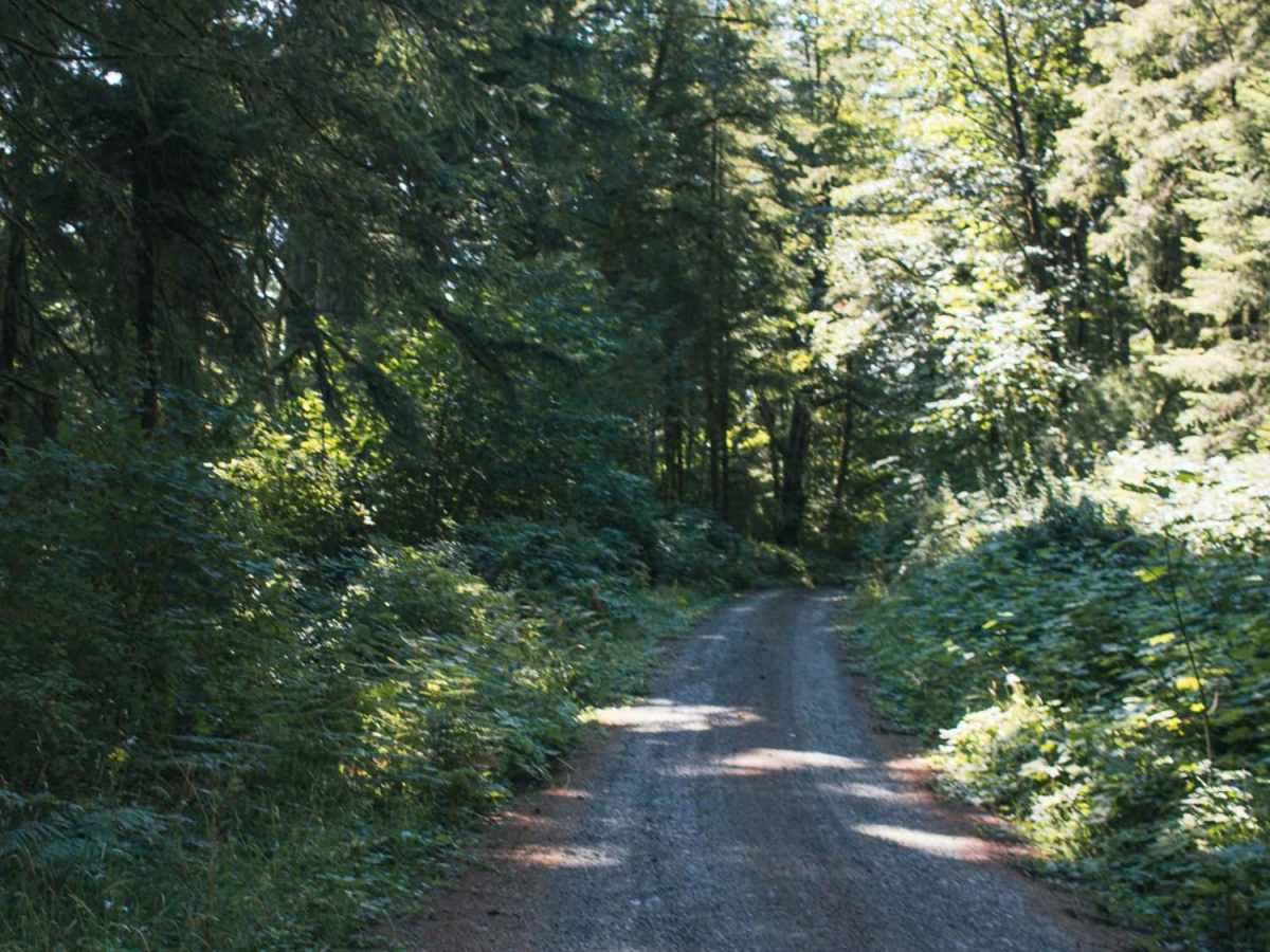
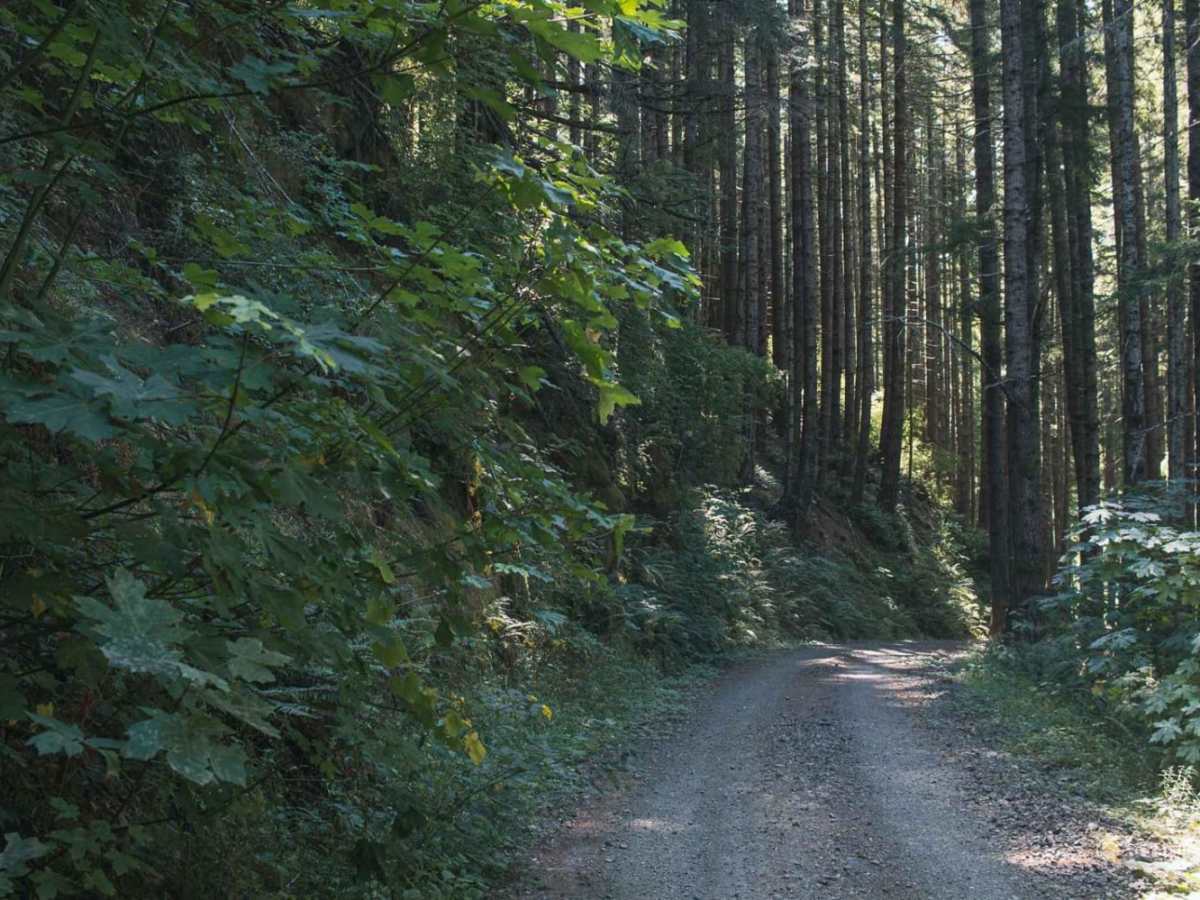
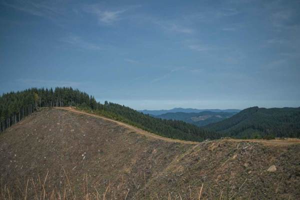
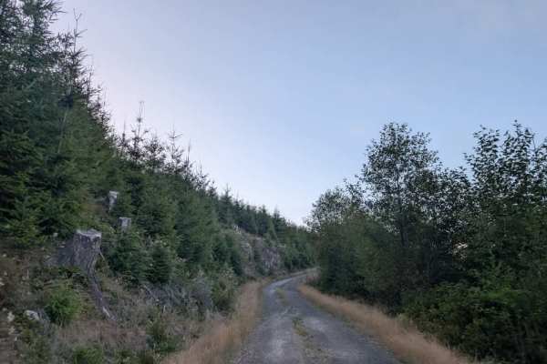
Sugar Loaf is an approachable yet scenic gravel route through the Siuslaw National Forest and private timberlands, making it a perfect drive for beginners, high-clearance four-wheel-drive vehicles, and SxSs seeking sweeping forest views. Spanning approximately 3.7 miles, this easy-rated trail climbs from an elevation of about 250 feet up to more than 1,500 feet, offering a steady and steep grade that presents minimal technical challenges but demands attentiveness. Travelers start near an aged, overgrown bridge at the entrance before navigating the dense vegetation that closely lines the gravel corridor. As the road ascends, the thick canopy occasionally opens, culminating in a clearing at the high point that delivers beautiful vistas of the rolling Oregon Coast Range landscape.
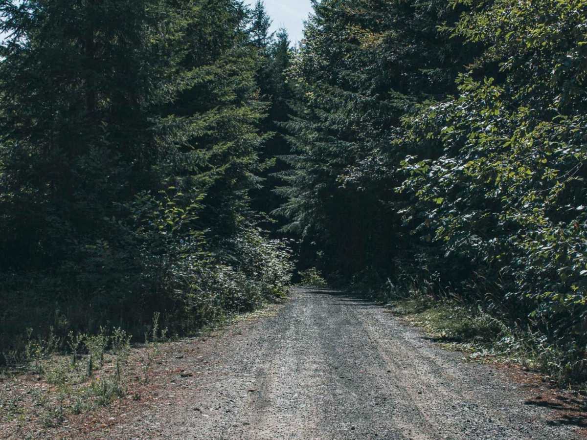
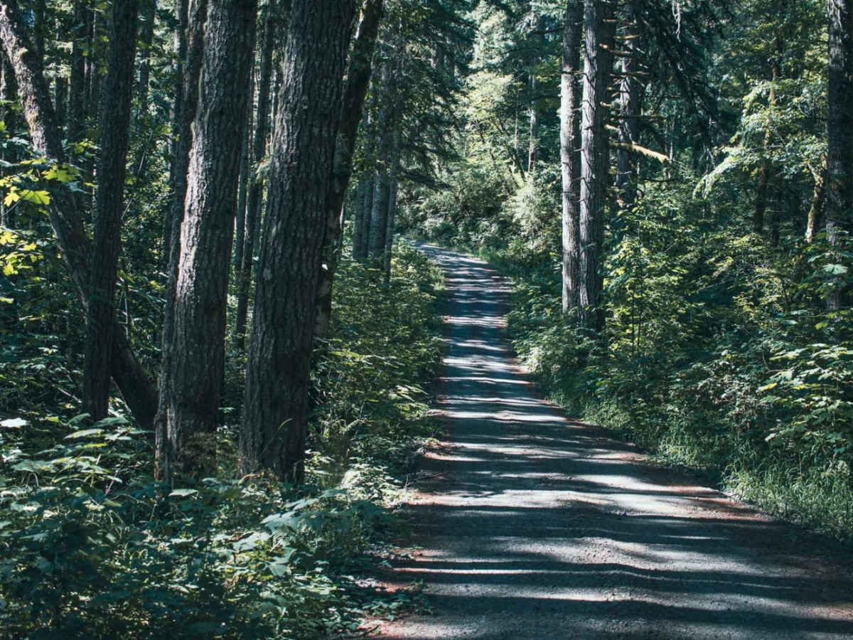
The trail surface consists primarily of well-established gravel, though weather conditions can cause occasional muddy patches or minor erosion, particularly during the wet fall and winter seasons. Because this route crosses Weyerhaeuser private property in addition to Siuslaw National Forest and BLM lands, visitors must ensure they possess the appropriate recreational access permits required by the timber company before setting out. High-clearance vehicles are recommended due to the steep gradients and the potential for fallen branches or minor debris along the way. At the end of the road, offroaders can easily connect to adjacent Bureau of Land Management routes and timber roads, allowing for a longer, customizable day of backcountry exploration.
Access Description
Parts of this route traverse Weyerhaeuser private timberlands, which require motorized recreation access permits. Visitors must obtain the necessary permit from Weyerhaeuser prior to entry. The remaining sections pass through Siuslaw National Forest and BLM lands, which are subject to standard public land regulations.


 Offroad