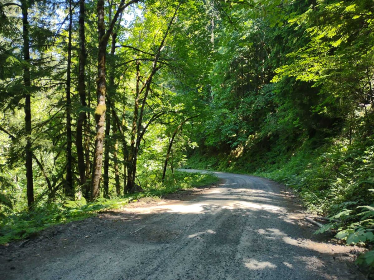
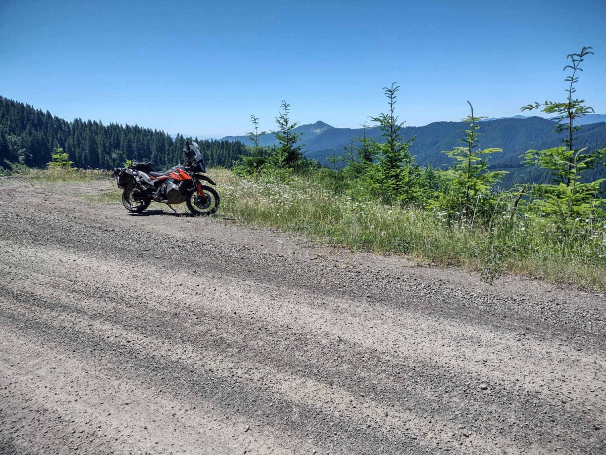
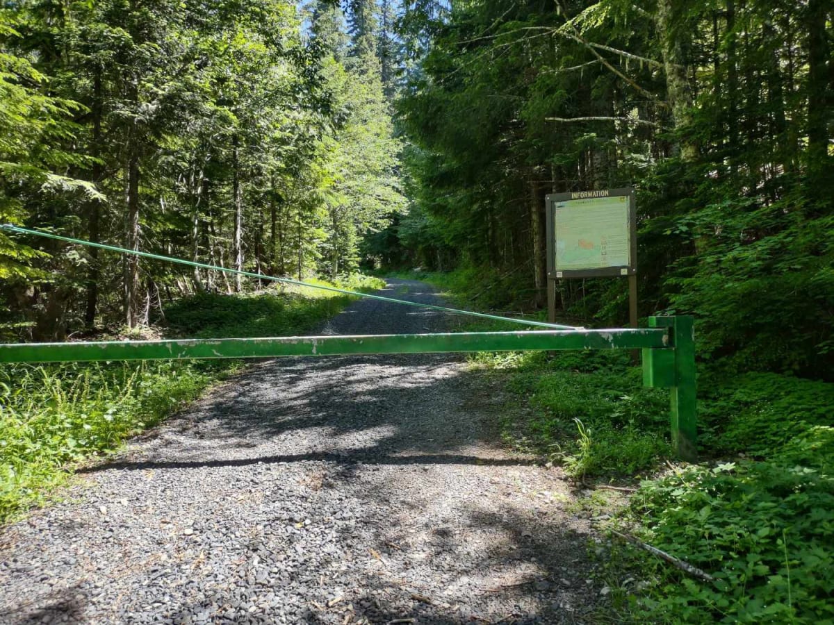
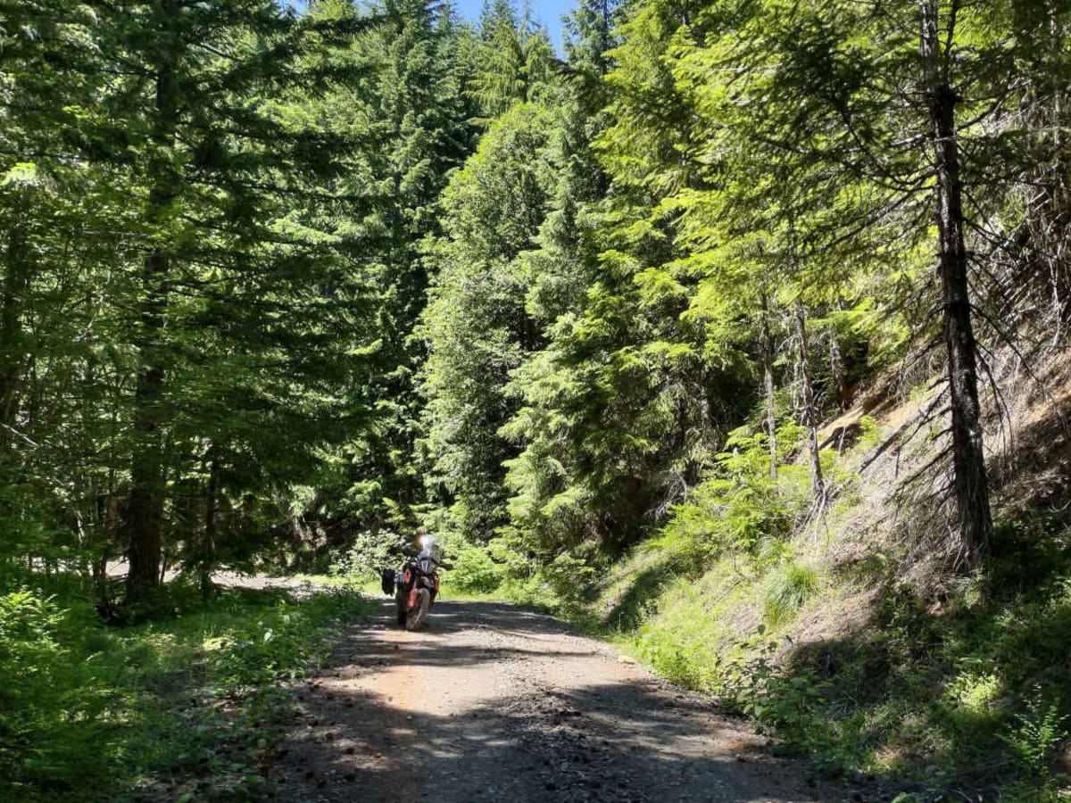
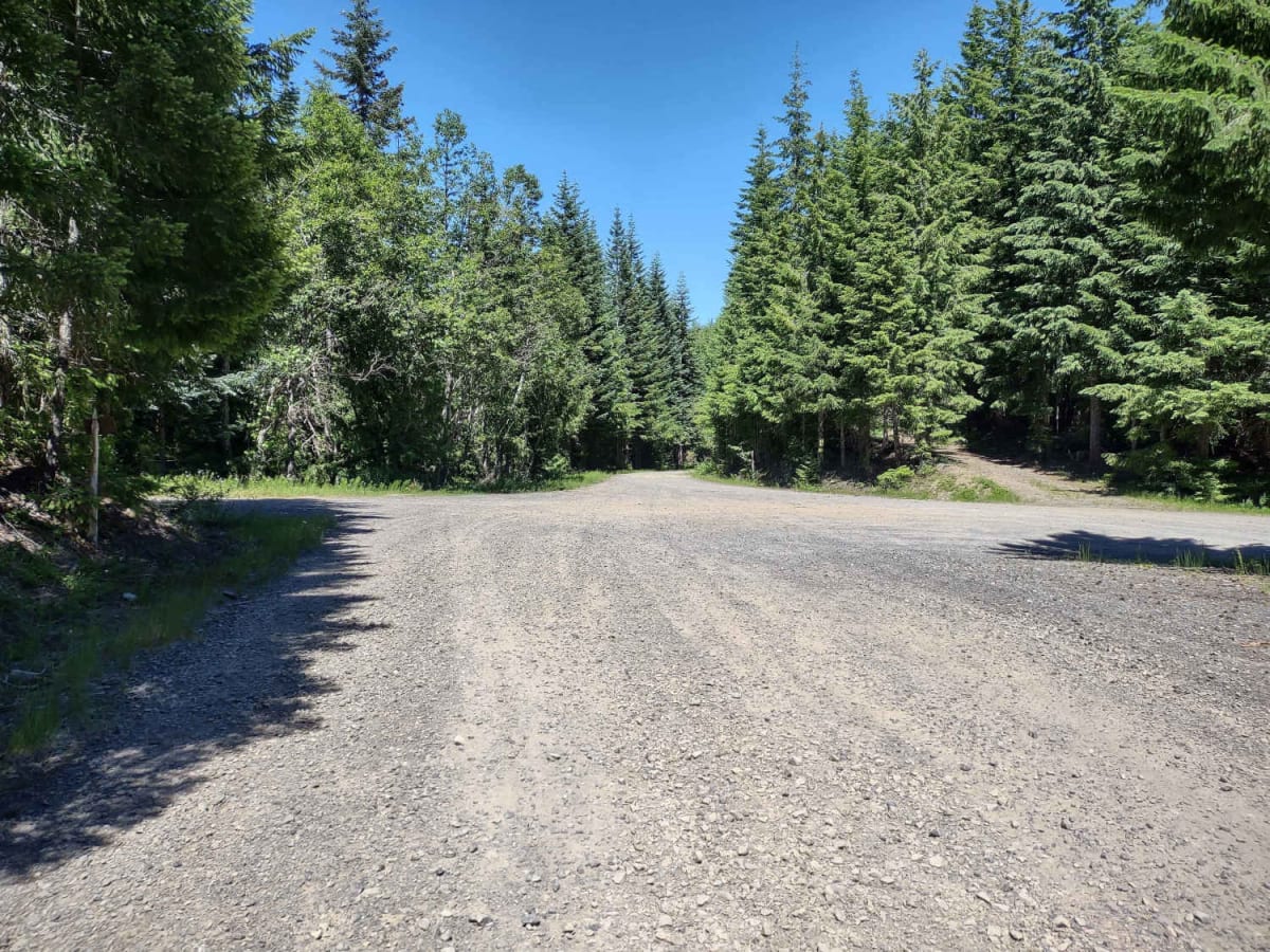
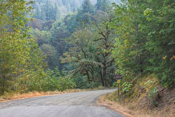
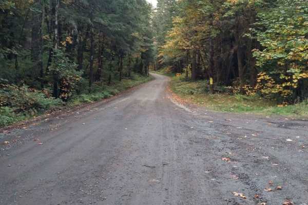
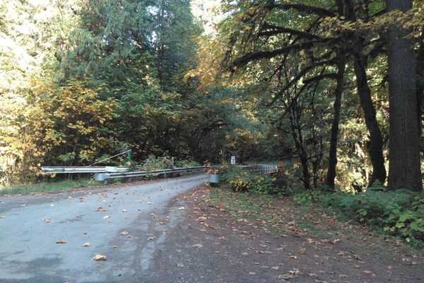
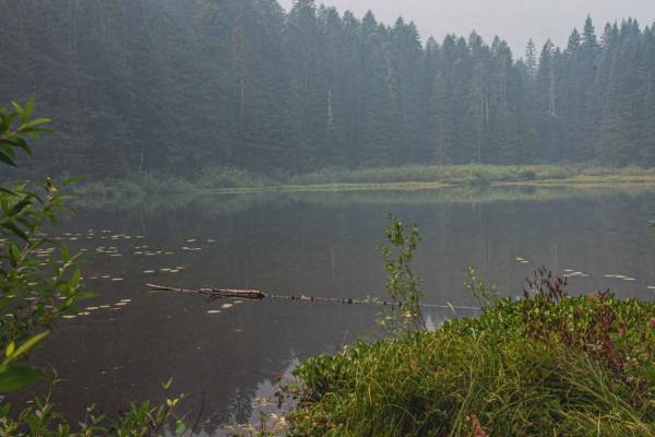
Moose Mountain- FS 2027

Total Miles 16.4
Technical Rating
2 Easy
Best Time Summer, Winter, Spring, Fall
Trail Type Full-Width Road
Accessible By
Open Trail Map

Trail Overview

Moose Mountain Road, also known as FS 2027, is accessed from US Hwy 20 by turning at Moose Creek Road and crossing the bridge over the South Santiam River. This road is easy gravel, with some potholes and a few sections of larger loose rock. It is mostly single-lane with turnouts. The road passes through a mix of USFS and private timberland, showing various stages of timber harvest and regrowth along with unmanaged forest. There are opportunities for dispersed camping (especially with hammocks) in the national forest areas, but camping is not allowed on private forest land. About 5 miles from the west end there is an elevated ridge that is cleared and has good views to the west for sunset viewing. At about 9.5 miles in from the west, the FS 850 road turns off to the south offering access to the upper (north) end of the Menagerie Wilderness. The 850 road and this area of the wilderness are seasonally closed to all entry from January 15 to July 31. About a mile from the east end of the track, views open up revealing several snow-capped mountains to the east. The east end of the track is at a 6-way intersection in a saddle. From here connections can be made to a network of other gravel roads to the south or east, including access to trailheads for the Middle Santiam Wilderness to the north.

Photos of Moose Mountain- FS 2027

Difficulty

Easy but not regularly maintained forest road. It has a few sections of larger loose rock that will be noticed by motorcyclists.

Technical Rating

2

Status Reports

Add Status Report
Jeeper Girl
Jul 05, 2025
Open
Posted sign stating closed due to extreme fire danger. Not sure if this was leftover from last year, local ranger station only showed moderate fire danger. KG
William Abbott
Jan 25, 2025
Open
Dusty and open. A little wind bow down. Nothing blocking the road. Approx 9 miles in the road turns south or so and around 4000’ elevation. The snow was melted and refrozen and very hard ice. So we turned back. It had been driven before freezing. But now that it was solid ice we turned back.
Nicholas Salvidrez
Dec 02, 2024
Open
Real easy trail, real fun. Ended up turning off at 720 and going to the end and came back down from HW20.

Moose Mountain- FS 2027 Trail can be accessed by the following ride types:

  • Single Track
  • 50 Inch
  • 60 Inch
  • High Clearance
  • Full Width

Moose Mountain- FS 2027 Map

The onX Offroad Difference

onX Offroad combines trail photos, descriptions, difficulty ratings, width restrictions, seasonality, and more in a user-friendly interface. Available on all devices, with offline access and full compatibility with CarPlay and Android Auto. Discover what you're missing today!

Open Trail Map