
Dirt Bike Trails
Near Leyner, Colorado
Explore All Dirt Bike Trails Near Leyner, Colorado
Dirt Bike Trails Near Leyner, Colorado
Discover the best dirt bike trails near you. Browse trail maps, check difficulty ratings, and find your next adventure — whether you're looking for a quick ride or an all-day expedition.
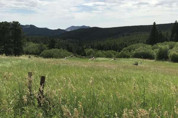
Magnolia Road East
Magnolia Road East is a scenic, well-graded 7-mile dirt road connecting Nederland to the Aspen Meadows area in the Colorado foothills. Ranging from 8,040 to 8,690 feet in elevation, this route offers views of Tungsten Mountain and Forsythe Rock, serving as a peaceful alternative to Boulder Canyon.
...
Learn more about Magnolia Road East
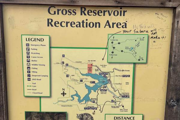
County Road 68J
County Road 68J is a trail best run west to east, starting just past the Forsyth Canyon Trailhead. It is a 2.5-mile trail that contains lots of large embedded rocks, deep off-camber wash-outs, and drop-downs. In the Spring and Early Fall, there can be large mud holes. It is best driven in a high-cle...
Learn more about County Road 68J
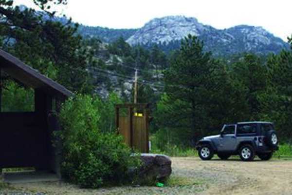
Gross Reservoir
This is a super fun, single lane road to amazing camping. You'll camp above the reservoir and fish, canoe, kayak and relax. No swimming. Open to licensed and unlicensed vehicles. Trail is open from May 15 to November 30.
Learn more about Gross Reservoir
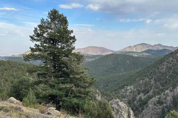
Headache Road
Headache Road is an out-and-back trail that runs off of the east side of Miller Rock Road trail. Contrary to the name it shouldn't cause too many headaches. The trail primarily consists of dirt and gravel with a few rocks to crawl over. It is mostly forested with some areas of tight trees that could...
Learn more about Headache Road
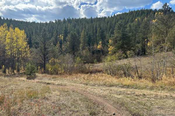
Spring Gulch - 102J
The trail begins near the end of the Gold Lake Trail on the south side. It consists primarily of dirt and gravel with some short rocky sections along the way. Sections of the trail can become muddy after rain or snow melt. Most of the trail is in forested terrain. Many sections along the trail are n...
Learn more about Spring Gulch - 102J
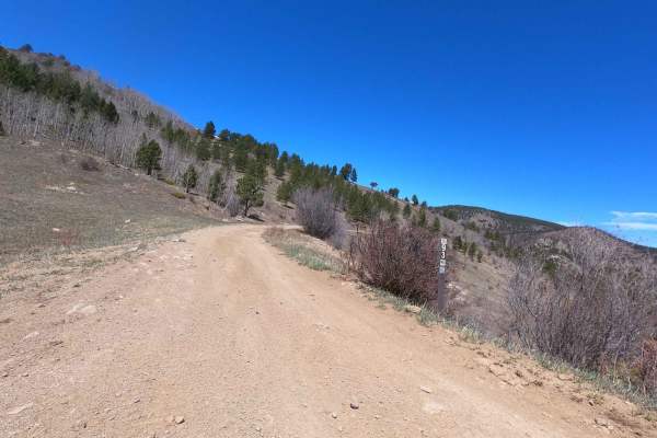
Switzerland Trail - North
This trail continues from the famous Switzerland Trail on the north side of Gold Hill Road and exits on Sawmill Road. It offers varied rocky terrain similar to the southern Switzerland Trail, with the addition of deep mud holes, scenic views, and an early option to explore the in-and-out Knob Hill t...
Learn more about Switzerland Trail - North
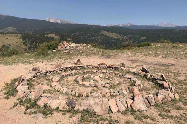
Knobb Hill
This in-and-out trail can be accessed from the Gold Hill side of the Switzerland Trail - North. It offers two paths: one easy and one more challenging. The more difficult route features large rocks and boulders, contributing to its overall difficulty. At the top of the trail, you'll find a stone cir...
Learn more about Knobb Hill
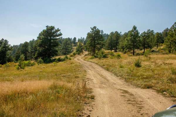
Peewink
Peewink is a scenic, beginner-friendly trail ideal for stock four-wheel-drive vehicles, SxSs, and dirt bikes looking for easy access to beautiful dispersed camping in the Roosevelt National Forest. Spanning approximately 1.9 miles near Nederland, Colorado, this route winds through dense pine forests...
Learn more about Peewink
Chipmunk Gulch
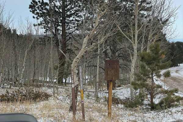
Chipmunk Gulch is a short, scenic route near Ward, Colorado, perfect for beginner offroaders and those looking for a quick mountain getaway with great camping. Stretching approximately 0.7 miles through the Arapaho National Forest, this dirt trail sits at an elevation of around 9,000 feet and offers...
Learn more about Chipmunk Gulch
Miller Rock Road
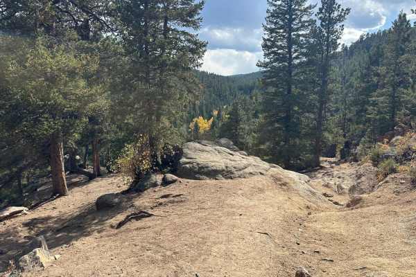
Miller Rock Road is an out-and-back trail that starts off of the south side of Riverside Driveuns along Middle Street Vrain Creek. The trail primarily consists of dirt and gravel with many rocks and boulders to crawl over. It is mostly forested, with some areas of tight trees that could be tricky fo...
Learn more about Miller Rock Road
Middle St. Vrain and Coney Flats
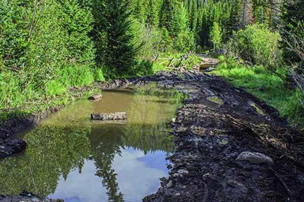
Middle St. Vrain and Coney Flats is a challenging 10.8-mile point-to-point off-road route near Peaceful Valley, Colorado climbing from 8,705 feet to 9,871 feet. The trail features continuous rocky terrain, steep climbs, and off-camber sections requiring high-clearance 4x4 vehicles with at least 33-i...
Learn more about Middle St. Vrain and Coney Flats
Pennsylvania Gulch
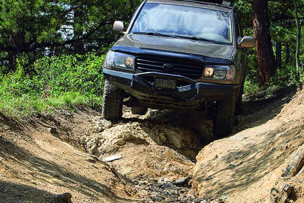
Go from Sunset, CO to Highway 72 on this fun route. If you want to make a loop, use the first portion of the Switzerland Trail. This will also offer a bit more challenge. The upper portion of the trail goes through a small residential area. It is open all year. Check weather first.
Learn more about Pennsylvania Gulch
Cave Creek Road
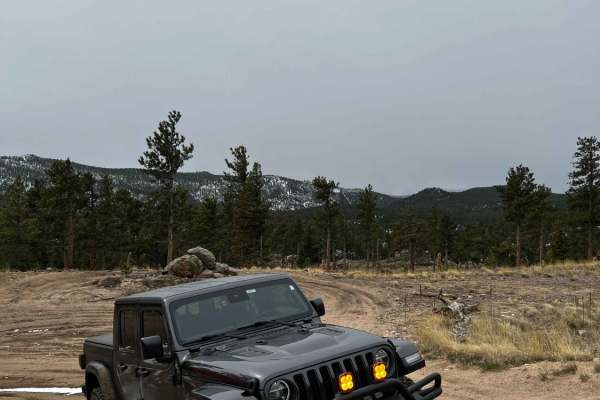
Cave Creek Road (USFS Road 217) is a short but engaging 0.9-mile climb in the Roosevelt National Forest, perfect for moderately experienced offroaders seeking a quick challenge with scenic overlooks. Starting from the Peak to Peak Highway near Raymond, the route wastes no time, immediately throwing ...
Learn more about Cave Creek Road
Rifle Road
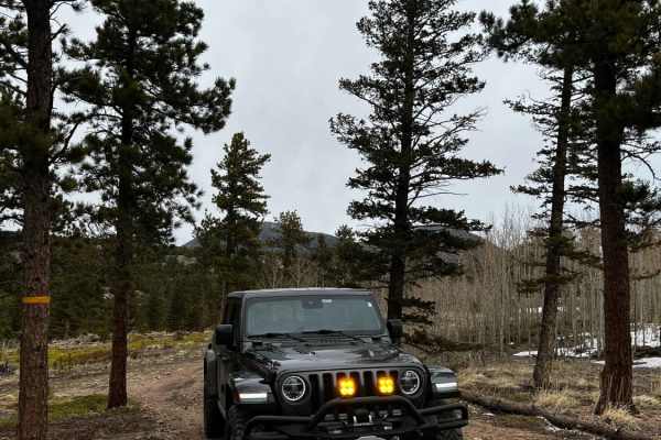
The route begins in the middle of Cave Creek and is both USFS 217C and 217D. If you head up the left side of the trail there is a nice hill that offers some good rock climbing for the more mild vehicles. Once you reach the end of the left side, it opens up to a nice little fire ring accompanied by a...
Learn more about Rifle Road
Gold Lake Trail
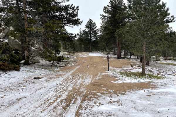
Calm out and back trail ending at a hut on private land. Be sure to not trespass on the private land. Some small ruts and rocks, along with some off-camber berms. A technical rock patch that requires concentration and good tire placement. Lots of campsites throughout the trail that are secluded from...
Learn more about Gold Lake Trail
Gordon Gulch
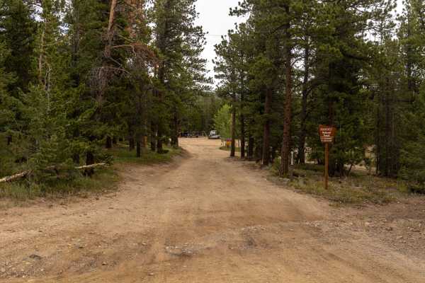
You're likely to see hikers on this trail, and it is a popular camping destination on the weekends. Check for postings on what camping is dispersed and what is designated. Be bear aware and plan accordingly. Trail is open all year.
Learn more about Gordon Gulch
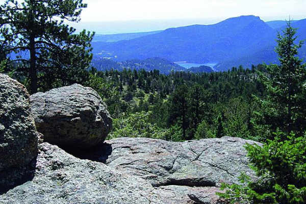
Johnny Park Road
Most of this trail will follow a high ridge with amazing views. Start on the east end for the best camping and easy access to the trail. Unlicensed vehicles are permitted, and this is a popular spot for them as well. There are some good challenging spots to the north towards the end of the trail. If...
Learn more about Johnny Park Road
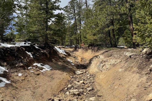
Ironclads
Ironclads is a challenging out-and-back loop branching off Bunce School Road Trail. It features loose rock climbs and descents, tight off-camber turns, boulder fields, and a couple of steep ledges. Scenic views are limited, but your attention will be focused on navigating the trail's numerous obstac...
Learn more about Ironclads
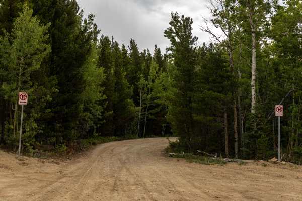
Switzerland Trail
The Switzerland Trail is a historic, scenic offroad route perfect for scenic drivers and intermediate offroaders looking for a rugged, high-country drive with stunning alpine views. Spanning approximately 14 miles through the Boulder County mountains, this unpaved route follows a historic narrow-gau...
Learn more about Switzerland Trail

T-33 Crash Site
The T-33 Crash Site trail is an intense, technical four-wheel-drive route designed for highly experienced drivers looking to test their vehicle's articulation and clearance while exploring a piece of military aviation history in Colorado's Roosevelt National Forest. Starting near Peaceful Valley, th...
Learn more about T-33 Crash Site
ATV trails near Leyner, Colorado
Explore ATV-friendly trails near you. These trails are accessible for vehicles up to 50 inches wide, perfect for ATVs and smaller off-road machines.
Gross Reservoir
This is a super fun, single lane road to amazing camping. You'll camp above the reservoir and fish, canoe, kayak and relax. No swimming. Open to licensed and unlicensed vehicles. Trail is open from May 15 to November 30.
Learn more about Gross Reservoir
Switzerland Trail - North
This trail continues from the famous Switzerland Trail on the north side of Gold Hill Road and exits on Sawmill Road. It offers varied rocky terrain similar to the southern Switzerland Trail, with the addition of deep mud holes, scenic views, and an early option to explore the in-and-out Knob Hill t...
Learn more about Switzerland Trail - North
Knobb Hill
This in-and-out trail can be accessed from the Gold Hill side of the Switzerland Trail - North. It offers two paths: one easy and one more challenging. The more difficult route features large rocks and boulders, contributing to its overall difficulty. At the top of the trail, you'll find a stone cir...
Learn more about Knobb Hill
Peewink
Peewink is a scenic, beginner-friendly trail ideal for stock four-wheel-drive vehicles, SxSs, and dirt bikes looking for easy access to beautiful dispersed camping in the Roosevelt National Forest. Spanning approximately 1.9 miles near Nederland, Colorado, this route winds through dense pine forests...
Learn more about Peewink
UTV/side-by-side trails near Leyner, Colorado
Find UTV and side-by-side trails near you. These trails accommodate vehicles up to 60 inches wide, ideal for UTVs, side-by-sides, and wider off-road rigs.
Gross Reservoir
This is a super fun, single lane road to amazing camping. You'll camp above the reservoir and fish, canoe, kayak and relax. No swimming. Open to licensed and unlicensed vehicles. Trail is open from May 15 to November 30.
Learn more about Gross Reservoir
Switzerland Trail - North
This trail continues from the famous Switzerland Trail on the north side of Gold Hill Road and exits on Sawmill Road. It offers varied rocky terrain similar to the southern Switzerland Trail, with the addition of deep mud holes, scenic views, and an early option to explore the in-and-out Knob Hill t...
Learn more about Switzerland Trail - North
Knobb Hill
This in-and-out trail can be accessed from the Gold Hill side of the Switzerland Trail - North. It offers two paths: one easy and one more challenging. The more difficult route features large rocks and boulders, contributing to its overall difficulty. At the top of the trail, you'll find a stone cir...
Learn more about Knobb Hill
Peewink
Peewink is a scenic, beginner-friendly trail ideal for stock four-wheel-drive vehicles, SxSs, and dirt bikes looking for easy access to beautiful dispersed camping in the Roosevelt National Forest. Spanning approximately 1.9 miles near Nederland, Colorado, this route winds through dense pine forests...
Learn more about Peewink
The onX Offroad Difference
onX Offroad combines trail photos, descriptions, difficulty ratings, width restrictions, seasonality, and more in a user-friendly interface. Available on all devices, with offline access and full compatibility with CarPlay and Android Auto. Discover what you're missing today!
Open Trail Map