Magnolia Road East

Total Miles7
Technical Rating
1Easy
Best TimeSpring, Summer, Fall
Trail TypeFull-Width Road
Accessible By
Open Trail Map

Trail Overview

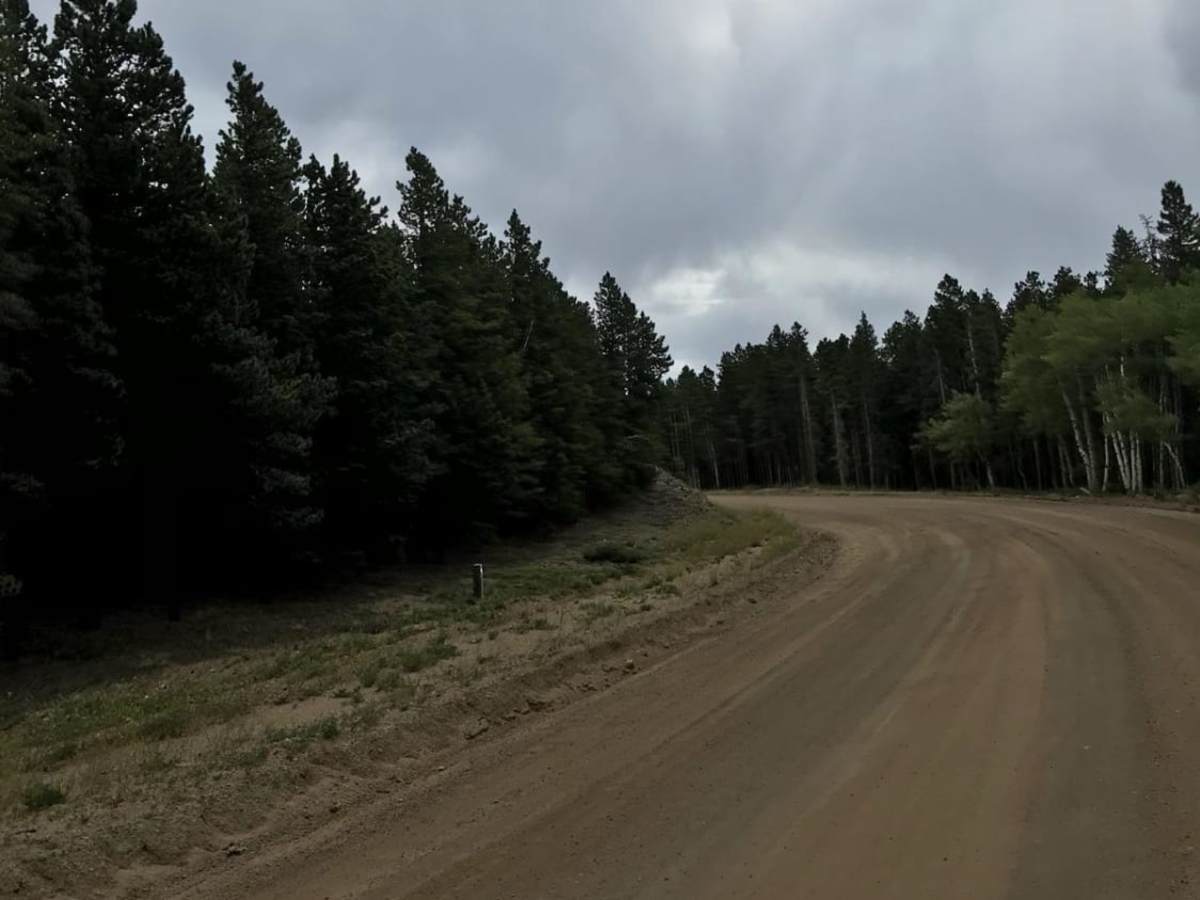
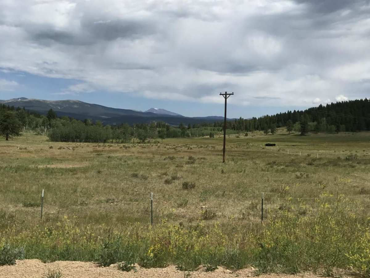
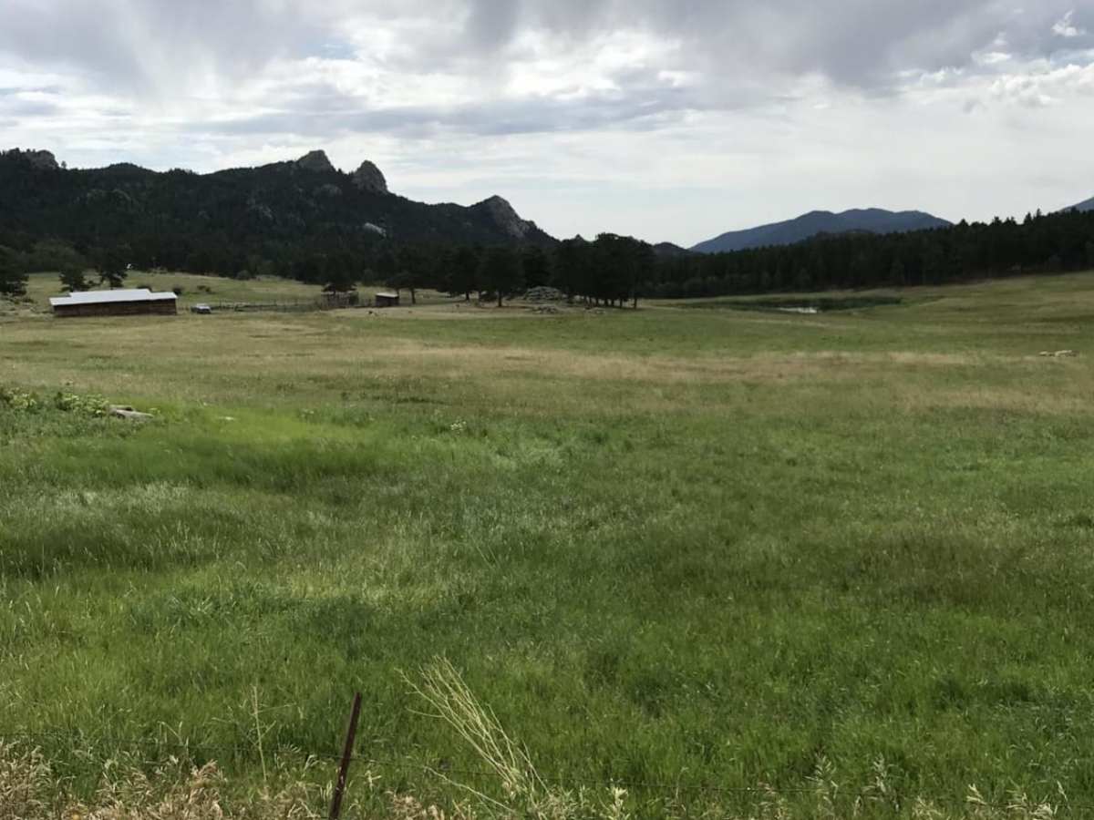
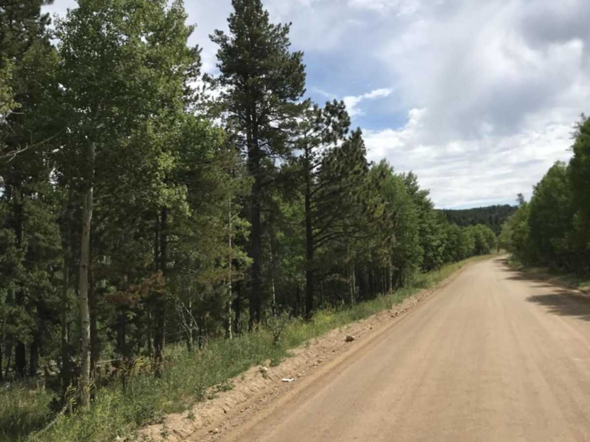
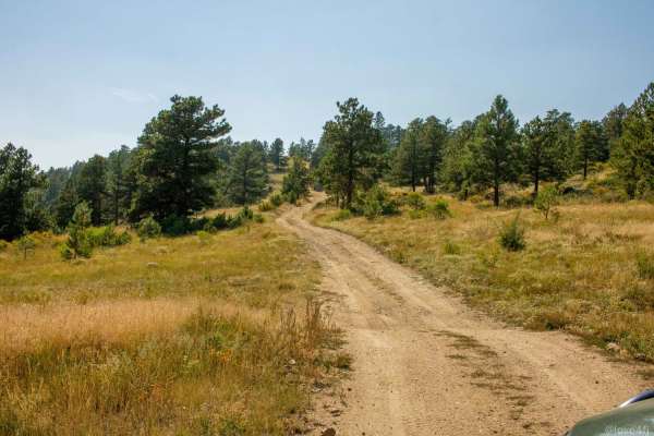
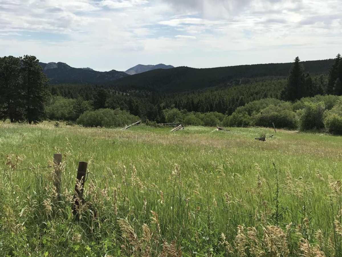
Magnolia Road East is a scenic, well-graded 7-mile dirt road connecting Nederland to the Aspen Meadows area in the Colorado foothills. Ranging from 8,040 to 8,690 feet in elevation, this route offers views of Tungsten Mountain and Forsythe Rock, serving as a peaceful alternative to Boulder Canyon. The primary surface is hard-packed dirt, easily passable by standard two-wheel-drive vehicles in dry conditions. Because the road provides access to residential communities, drivers should expect local traffic, pedestrians, and cyclists. The route also offers connections to various hiking trails and camping areas within the Arapaho National Forest.

Photos of Magnolia Road East

Difficulty

This is a well-graded residential road. Might be slick when wet.

Technical Rating

1

Status Reports

Add Status Report
Jason K
Jul 08, 2025
2017 Nissan Frontier
Open
NormalDusty
It's a residential dirt road, freshly graded.
Leonard Blair Jr.
Mar 07, 2025
Open
couldn't access. for out of staters, you'll need snow chains between October and March
Claire S
Feb 22, 2025
Open
Muddy/Wet
This trail is more like a back road, super easy but still scenic. There was a Prius behind me the whole time lol.
Jason L
Feb 02, 2025
Open
Chris Nein
Jan 18, 2025
2008 Lexus GX
Open
Snow/Ice
K03s and AWD. No problem what so ever.
Rich Guess
Aug 11, 2024
2018 Triumph Tiger 800
Open
Muddy/Wet
Just had some rain before I hit the trail, which was nice to keep the dust down, but a little bit muddy in spots. This is pretty much a dirt road, connects to some nice twist connecting to Canyon.
Dustin Wilson
Jul 28, 2024
Open
Normal
TX plated Corolla in front of us did just fine
luis jimenez
Jul 01, 2024
1997 Toyota Tacoma
Open
NormalDusty
Matt K
Apr 13, 2024
2019 Volkswagen Tiguan
Open
NormalWashboard
Jade A
Sep 02, 2023
Open
Normal
Maxwell Sadler
Apr 23, 2023
Open
Muddy/Wet
Max Nev
Apr 09, 2023
2022 Jeep Grand Cherokee
Open

Magnolia Road East Trail can be accessed by the following ride types:

  • Single Track
  • High Clearance
  • Full Width

Access Description

Magnolia Road East is a county-maintained public road (County Road 132) that remains open year-round. While it is accessible to all vehicles in dry conditions, winter weather can bring heavy snow and ice, making four-wheel drive, snow tires, or traction devices highly recommended. Because this route passes through residential areas with many active driveways, drivers must adhere strictly to posted speed limits and watch for local residents, pedestrians, and cyclists.

Magnolia Road East Map

The onX Offroad Difference

onX Offroad combines trail photos, descriptions, difficulty ratings, width restrictions, seasonality, and more in a user-friendly interface. Available on all devices, with offline access and full compatibility with CarPlay and Android Auto. Discover what you're missing today!

Open Trail Map