
Dirt Bike Trails
Near Lewis, Colorado
Explore All Dirt Bike Trails Near Lewis, Colorado
Dirt Bike Trails Near Lewis, Colorado
Discover the best dirt bike trails near you. Browse trail maps, check difficulty ratings, and find your next adventure — whether you're looking for a quick ride or an all-day expedition.
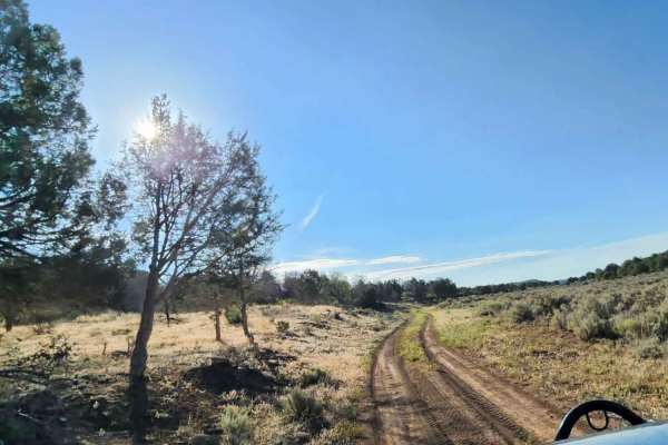
Beaver Rim Road
Beaver Rim Road is an inviting 5.7-mile off-road route near McPhee Reservoir, ideal for beginners and scenic drivers seeking a rewarding destination with a stunning overlook at the trail's end. Navigating through the picturesque landscape of southwestern Colorado, the trail begins near the Boggy Dra...
Learn more about Beaver Rim Road
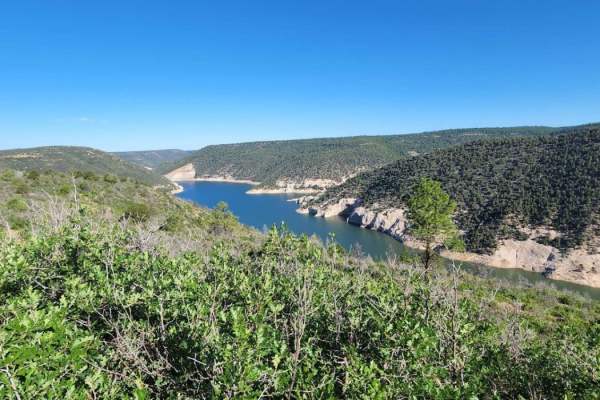
Beaver Rim F Road
This road can be very dusty when dry and muddy when wet. Beautiful view at the end with a small camp spot for one or two people. Dirt or rocky road, typically unmaintained after rain or snow. You may encounter shallow water crossings and obstacles under 12" on the trail, including small ledges. Road...
Learn more about Beaver Rim F Road
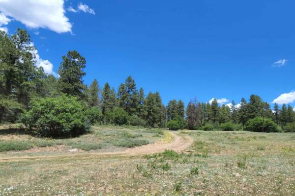
Dry Canyon A Road
There are some low trees on this road, so it is not recommended for tall vehicles. Along this route is a big open meadow and some camping areas. Can be muddy when wet. There are some small rocky areas. You may encounter shallow water crossings and obstacles under 12" on the trail, including small le...
Learn more about Dry Canyon A Road
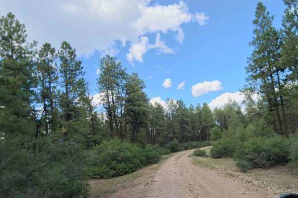
Cabin Rim Road
Quick short road with beautiful scenery and big tall trees. The road can be muddy when wet, and dusty when dry. Typically two vehicles wide and provides access to other roads. An easy road for any vehicle, safe for most 4WD and high-clearance 2WD vehicles. You might see cows. Dirt or rocky road with...
Learn more about Cabin Rim Road
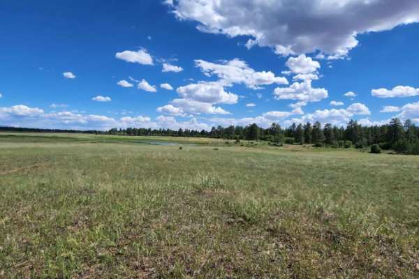
Ferris Road
There is burned area at end of the road, so be mindful of debris, and muddy spots. There are some camp spots and access to other roads. Pretty open pastures.Dirt or rocky road with gentle grades. Safe for most 4WD and high-clearance 2WD vehicles. Roads are typically two vehicles wide.
Learn more about Ferris Road
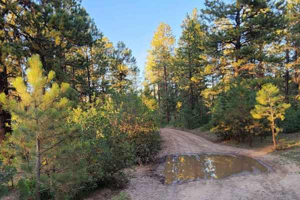
Upper House Creek Road
Upper House Creek Road is an ideal route for scenic explorers, campers, and mountain bikers looking to venture into the scenic Boggy Draw area of the San Juan National Forest near Dolores, Colorado. Stretching approximately 5.9 miles, this four-wheel-drive trail gains about 1,050 feet in elevation a...
Learn more about Upper House Creek Road
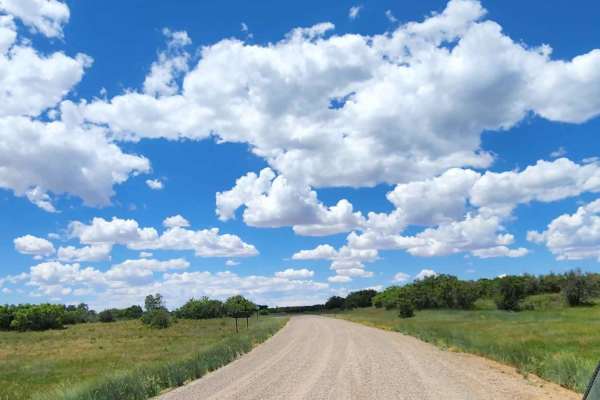
Ormiston Point Road
This road offers some camping, good access to many other roads, and lots of views. There is cell service at spots, but it can be very spotty with the weather. Can be muddy when wet. Dirt or rocky road with gentle grades. Safe for most 4WD and high-clearance 2WD vehicles. Roads are typically two vehi...
Learn more about Ormiston Point Road
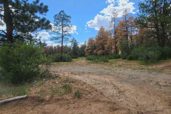
Flat Iron Road
Flat Iron Road provides a scenic, unpaved driving experience through tall pine forests in the San Juan National Forest, making it perfect for beginners and those seeking a relaxed cruise with beautiful woodland scenery. Stretching approximately 5.2 miles, this double-track trail sits at a consistent...
Learn more about Flat Iron Road
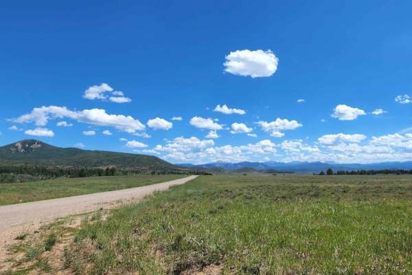
Trimble Road
This is a short quick access road to get to others. There are some pretty views and big open pastures. There are lots and lots of cows, so watch out for cow pies! Dirt or rocky road, typically unmaintained after rain or snow. Can be muddy when wet. You may encounter shallow water crossings and obsta...
Learn more about Trimble Road
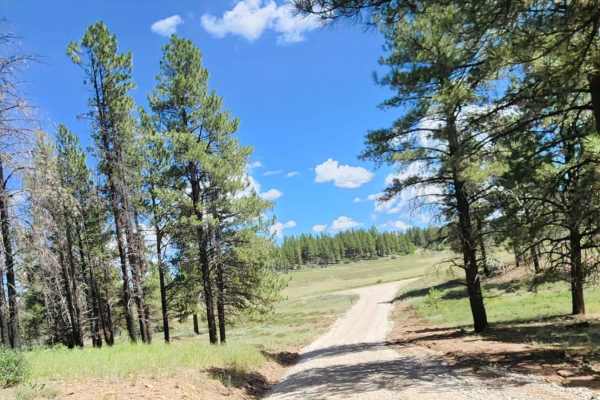
Plateau Road
Plateau Road is a scenic, 2.4-mile unpaved connector route in the San Juan National Forest of southwestern Colorado. The wide, two-vehicle road winds through open alpine pastures and active cattle grazing lands, offering gentle grades and scenic forest views at elevations between 7,793 and 7,942 fee...
Learn more about Plateau Road
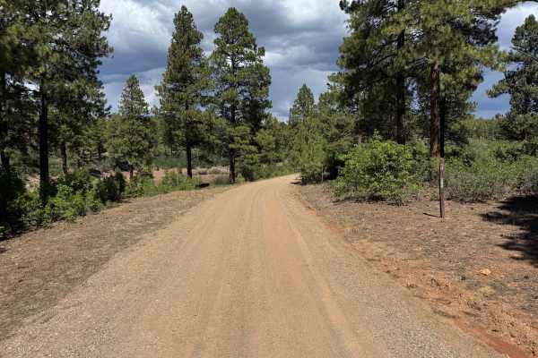
Grouse Point Road
This route follows a mostly smooth, maintained gravel road that averages approximately 1 vehicle wide, with enough room in many areas for vehicles to safely pass. The road travels through a ponderosa pine forest with a mixture of mature trees, younger pines, dense green shrubs, and patches of dry gr...
Learn more about Grouse Point Road
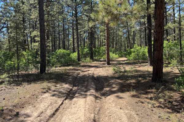
Grouse Point a Road
This route travels through a varied forest landscape dominated by tall pine trees, with thick green shrubs and other low-growing vegetation filling much of the understory. Portions of the route are heavily wooded, creating a shaded corridor through the forest, while other sections transition into mo...
Learn more about Grouse Point a Road
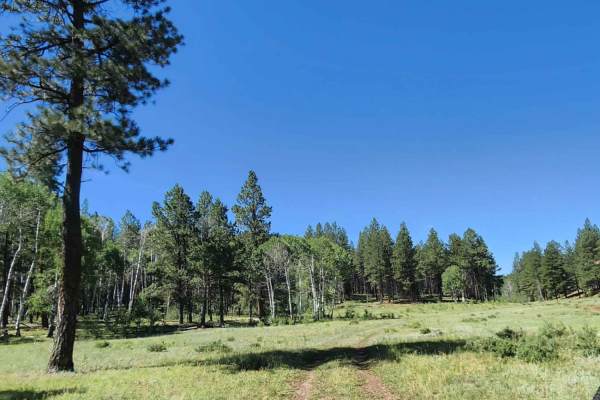
Beaver Point Road
There are big open pastures with lots of cows, so watch out for cow pies! Dirt or rocky road with gentle grades. Safe for most 4WD and high-clearance 2WD vehicles. Roads are typically two vehicles wide. Can be muddy when wet. There are multiple areas to camp with amazing views.
Learn more about Beaver Point Road
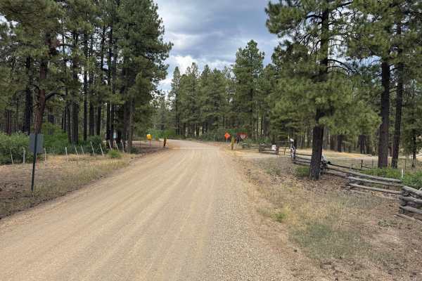
Rock Springs Road
This route travels along a wide forest road through a changing mix of pine and aspen. Much of the route is approximately two vehicles wide, with stretches passing beneath tall pines and others surrounded by dense stands of aspen and green understory vegetation. The landscape periodically opens into ...
Learn more about Rock Springs Road
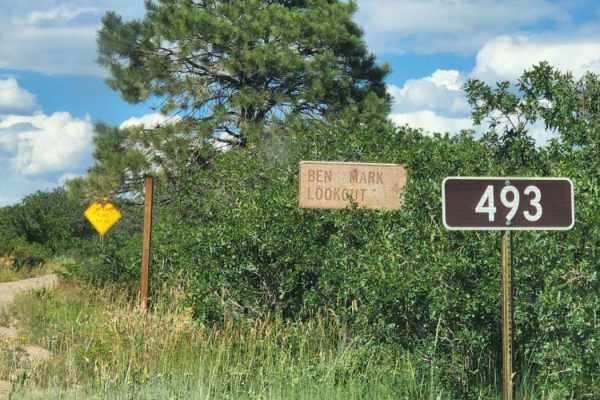
Bench Mark Lookout
This drive takes you up to a lookout with beautiful scenery and big tall trees. The road can be muddy when wet and dusty when dry. There is access to other roads. Easy road for any vehicle and is typically two vehicles wide. In this area, you might see cows and there is no camping. Dirt or rocky roa...
Learn more about Bench Mark Lookout
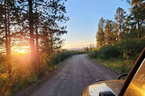
Boggy Draw Road
Boggy Draw Road is a scenic, beginner-friendly route near Dolores, Colorado, ideal for offroaders seeking easy access to the region’s premier non-motorized trail systems and dispersed camping. Stretching approximately 3.8 miles through the lush ponderosa pines of the San Juan National Forest, this u...
Learn more about Boggy Draw Road
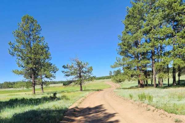
Trail Canyon
This road offers some beautiful views and some camp spots. Dirt or rocky road, typically unmaintained after rain or snow. Can be muddy when wet. You may encounter shallow water crossings and obstacles under 12" on the trail, including small ledges. Roads are typically one to two vehicles wide.
Learn more about Trail Canyon
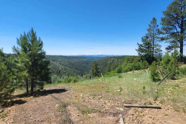
Spring Cr Pt Road
Spring Creek Point Road is an easy, scenic route ideal for beginners, high-clearance two-wheel-drive vehicles, and families looking for a relaxed drive with beautiful valley views. Spanning approximately 3.4 miles through the scenic highlands of the San Juan National Forest, this dirt and rocky trai...
Learn more about Spring Cr Pt Road
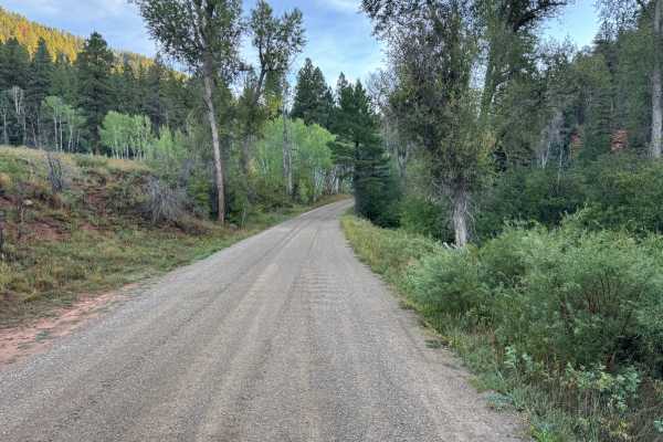
Taylor Creek Road
For roughly the first 13 miles, this route follows a wide, well-maintained gravel road as it gradually climbs through the San Juan National Forest. The surface is predominantly compacted gravel with very few rough areas, making most of the route an easy and comfortable drive. Along the climb, the ro...
Learn more about Taylor Creek Road
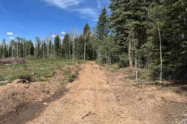
Pipe Creek Road Spur
This out-and-back route travels through a heavily forested area filled with tall aspens, mature pines, and thick patches of younger vegetation. The trail surface consists primarily of packed dirt with areas of loose soil, scattered small rocks, and patches of grass growing between the tire tracks. I...
Learn more about Pipe Creek Road Spur
ATV trails near Lewis, Colorado
Explore ATV-friendly trails near you. These trails are accessible for vehicles up to 50 inches wide, perfect for ATVs and smaller off-road machines.
Beaver Rim Road
Beaver Rim Road is an inviting 5.7-mile off-road route near McPhee Reservoir, ideal for beginners and scenic drivers seeking a rewarding destination with a stunning overlook at the trail's end. Navigating through the picturesque landscape of southwestern Colorado, the trail begins near the Boggy Dra...
Learn more about Beaver Rim Road
Beaver Rim F Road
This road can be very dusty when dry and muddy when wet. Beautiful view at the end with a small camp spot for one or two people. Dirt or rocky road, typically unmaintained after rain or snow. You may encounter shallow water crossings and obstacles under 12" on the trail, including small ledges. Road...
Learn more about Beaver Rim F Road
Dry Canyon A Road
There are some low trees on this road, so it is not recommended for tall vehicles. Along this route is a big open meadow and some camping areas. Can be muddy when wet. There are some small rocky areas. You may encounter shallow water crossings and obstacles under 12" on the trail, including small le...
Learn more about Dry Canyon A Road
Cabin Rim Road
Quick short road with beautiful scenery and big tall trees. The road can be muddy when wet, and dusty when dry. Typically two vehicles wide and provides access to other roads. An easy road for any vehicle, safe for most 4WD and high-clearance 2WD vehicles. You might see cows. Dirt or rocky road with...
Learn more about Cabin Rim Road
UTV/side-by-side trails near Lewis, Colorado
Find UTV and side-by-side trails near you. These trails accommodate vehicles up to 60 inches wide, ideal for UTVs, side-by-sides, and wider off-road rigs.
Beaver Rim Road
Beaver Rim Road is an inviting 5.7-mile off-road route near McPhee Reservoir, ideal for beginners and scenic drivers seeking a rewarding destination with a stunning overlook at the trail's end. Navigating through the picturesque landscape of southwestern Colorado, the trail begins near the Boggy Dra...
Learn more about Beaver Rim Road
Beaver Rim F Road
This road can be very dusty when dry and muddy when wet. Beautiful view at the end with a small camp spot for one or two people. Dirt or rocky road, typically unmaintained after rain or snow. You may encounter shallow water crossings and obstacles under 12" on the trail, including small ledges. Road...
Learn more about Beaver Rim F Road
Dry Canyon A Road
There are some low trees on this road, so it is not recommended for tall vehicles. Along this route is a big open meadow and some camping areas. Can be muddy when wet. There are some small rocky areas. You may encounter shallow water crossings and obstacles under 12" on the trail, including small le...
Learn more about Dry Canyon A Road
Cabin Rim Road
Quick short road with beautiful scenery and big tall trees. The road can be muddy when wet, and dusty when dry. Typically two vehicles wide and provides access to other roads. An easy road for any vehicle, safe for most 4WD and high-clearance 2WD vehicles. You might see cows. Dirt or rocky road with...
Learn more about Cabin Rim Road
The onX Offroad Difference
onX Offroad combines trail photos, descriptions, difficulty ratings, width restrictions, seasonality, and more in a user-friendly interface. Available on all devices, with offline access and full compatibility with CarPlay and Android Auto. Discover what you're missing today!
Open Trail Map