Trail Overview
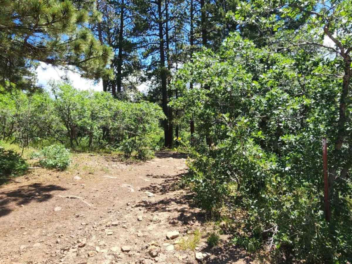
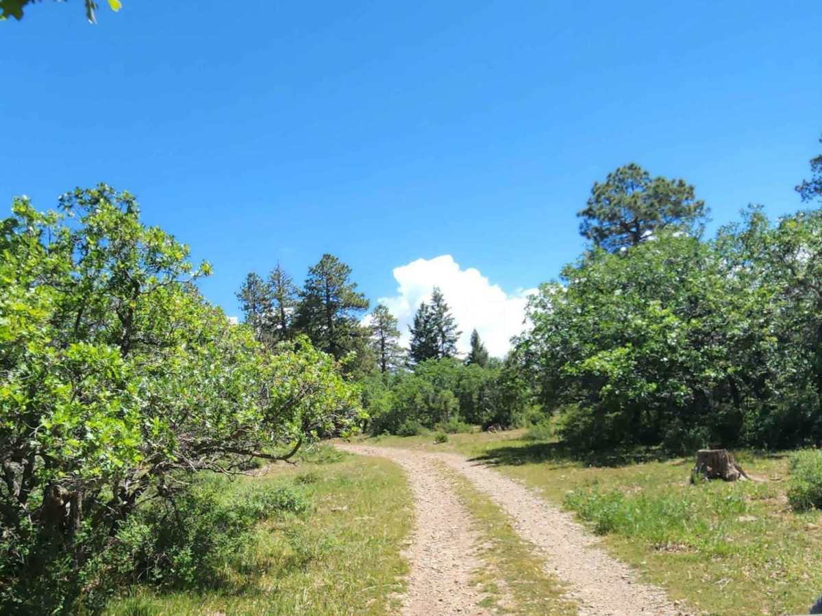
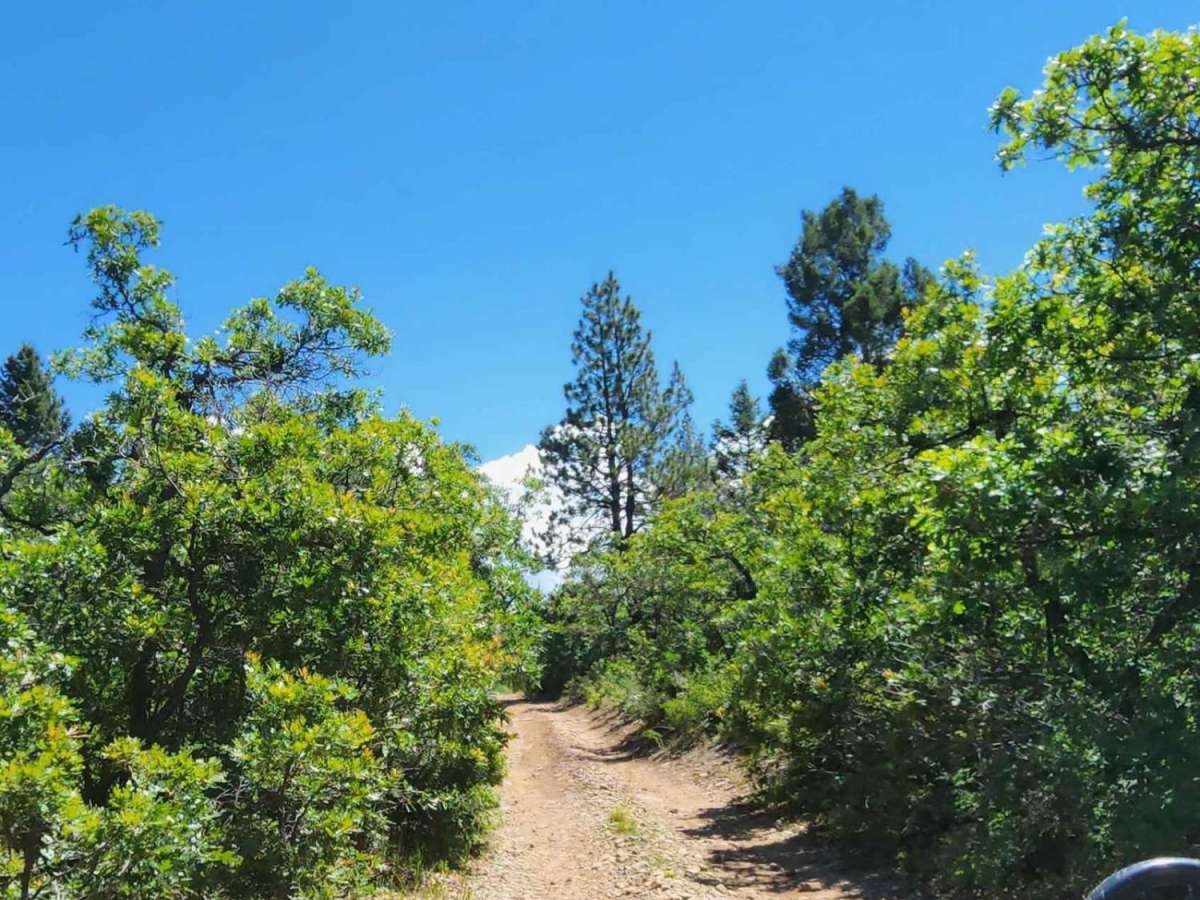
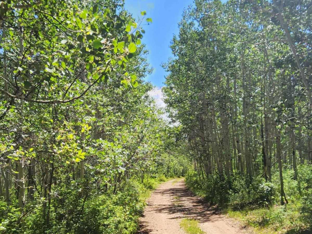
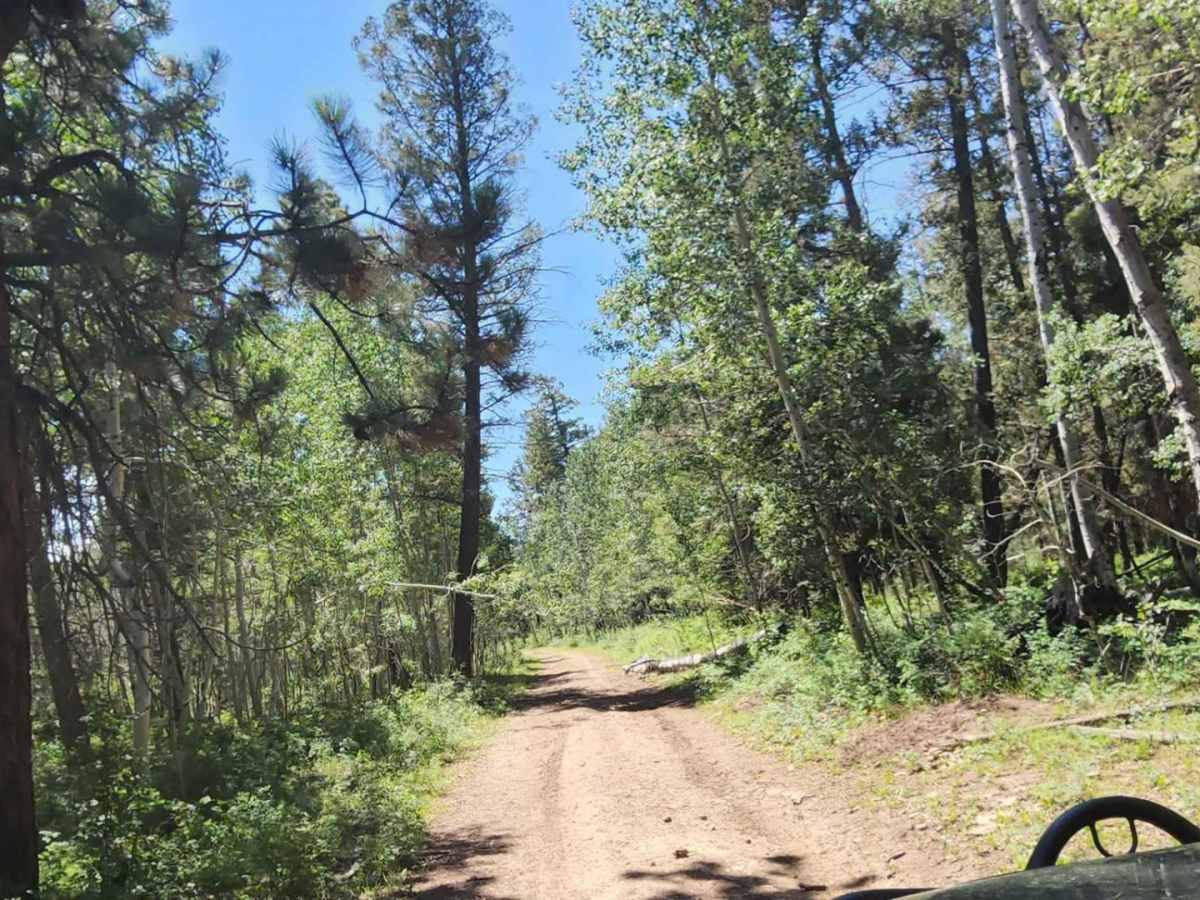
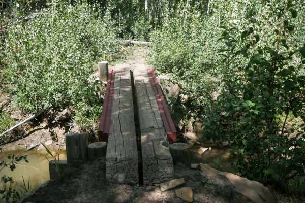
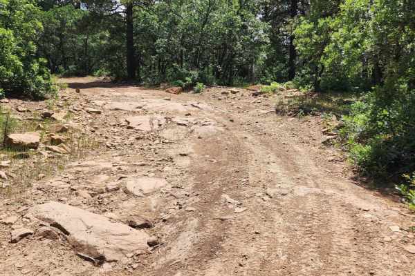
Spring Creek Point Road is an easy, scenic route ideal for beginners, high-clearance two-wheel-drive vehicles, and families looking for a relaxed drive with beautiful valley views. Spanning approximately 3.4 miles through the scenic highlands of the San Juan National Forest, this dirt and rocky trail climbs gently from 8,775 feet to a maximum elevation of 9,091 feet. Along the way, travelers will pass near Roy Reservoir and Middle Reservoir, navigating a road that is typically wide enough for two vehicles to pass comfortably. The route is highly accessible, requiring only basic four-wheel-drive or high-clearance two-wheel-drive capability under normal conditions, making it excellent for stock SUVs, SxSs, and dirt bikes.
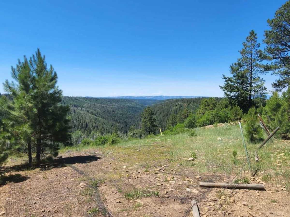
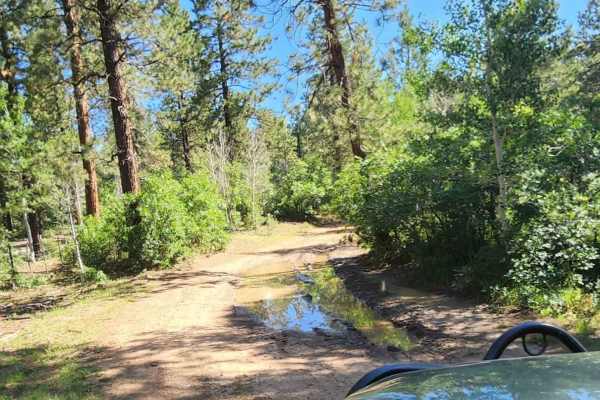
The trail features mild gradients with an elevation gain of around 400 feet, ending at a scenic overlook that boasts panoramic views of the surrounding valley and Morgan Gulch. Muddy conditions can significantly increase the difficulty after rain or snowmelt, so caution is advised during wet seasons. The area serves as active rangeland where drivers are likely to encounter free-roaming cattle and bulls, necessitating slow speeds and caution. A gate along the route must be kept closed to secure livestock, and the trail is best enjoyed from late spring through autumn when roads are dry and clear of snow.