Trail Overview
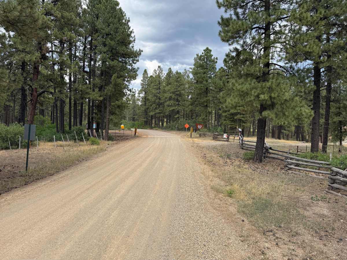
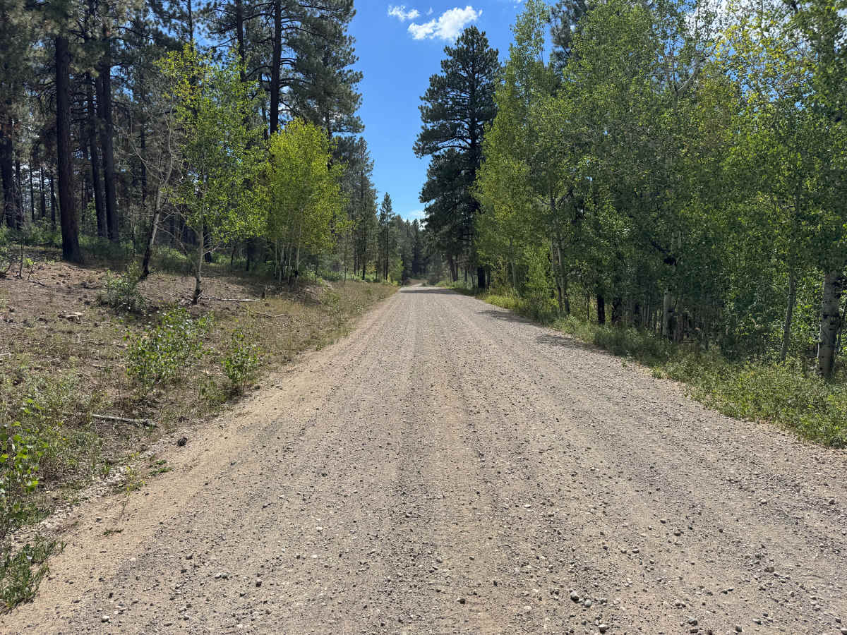
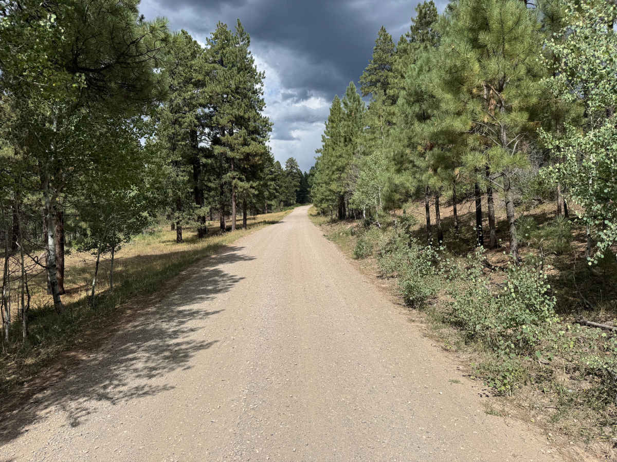
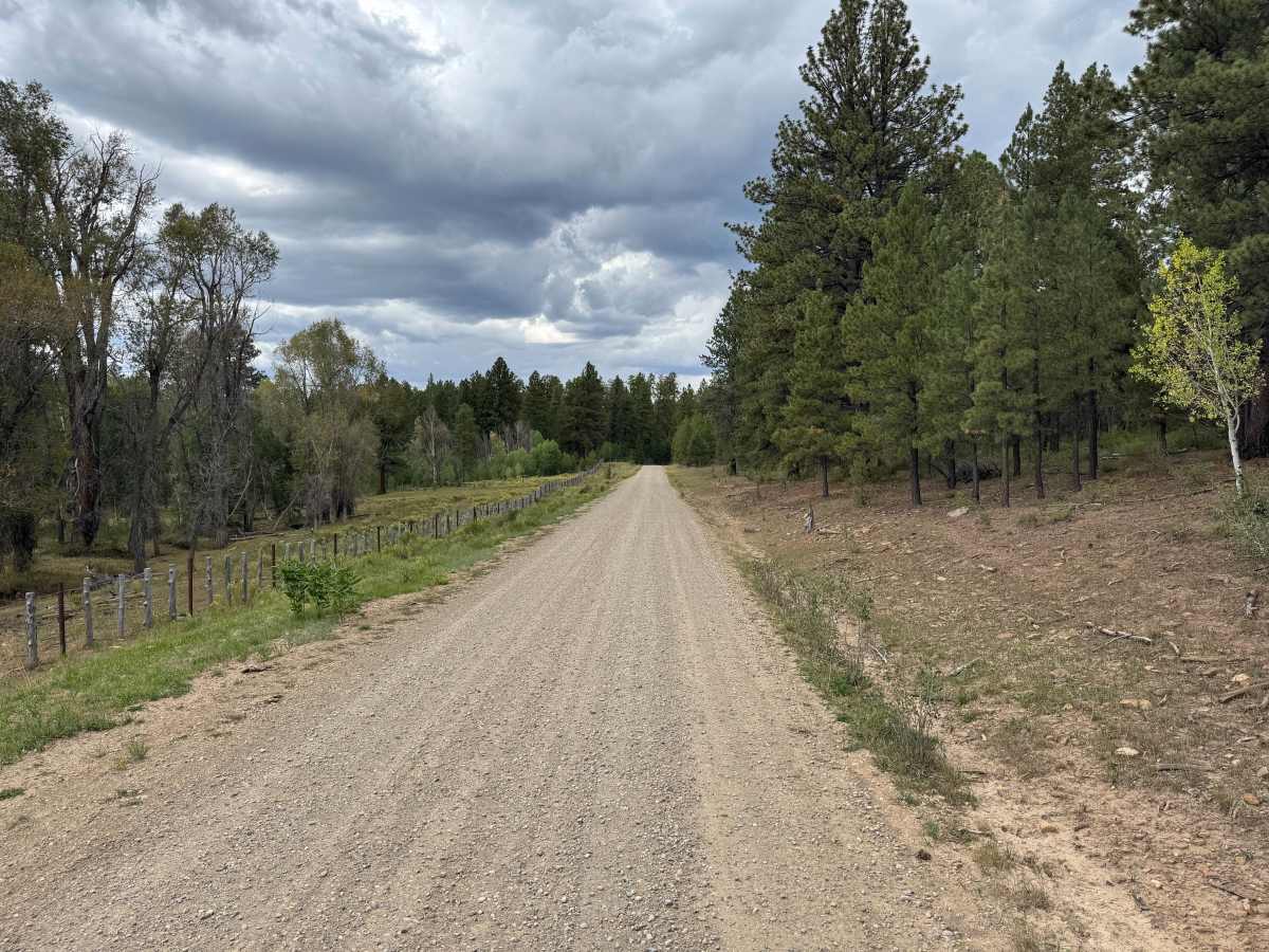
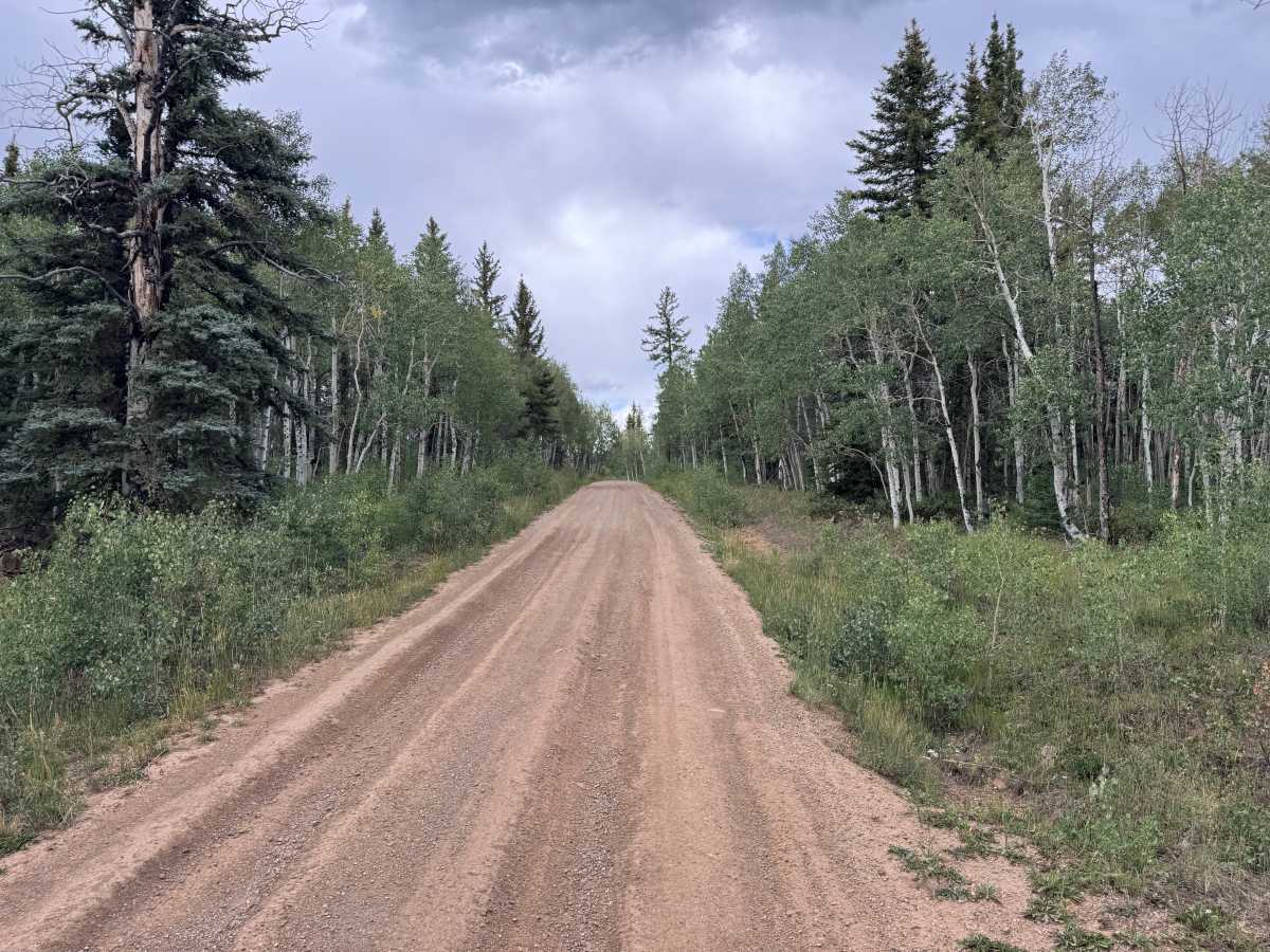
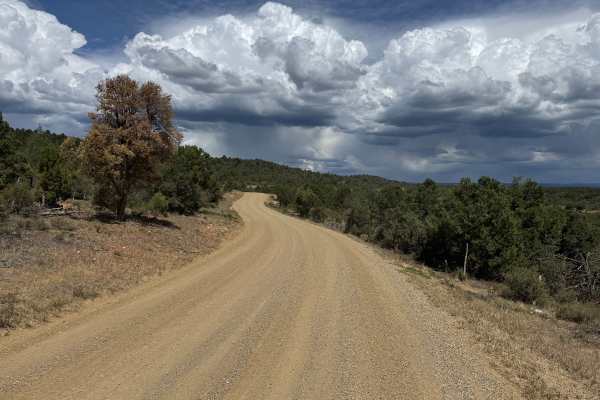
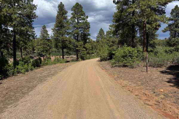
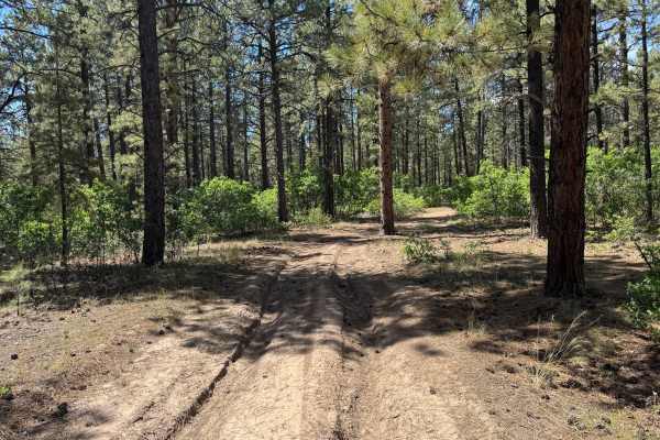
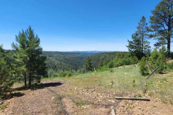
This route travels along a wide forest road through a changing mix of pine and aspen. Much of the route is approximately two vehicles wide, with stretches passing beneath tall pines and others surrounded by dense stands of aspen and green understory vegetation. The landscape periodically opens into grassy meadows and ranching areas, with fences running alongside portions of the road. Open-range livestock may be present, so watch for animals on or near the roadway. The route also includes numerous curves where the surrounding trees can limit visibility of approaching traffic. Overall, the drive provides a scenic tour through several different forest environments, transitioning between thick timber, aspen groves, grassy openings, and more open ranching landscapes.
Difficulty
This is mostly maintained gravel with a wide and generally even surface. Washboard sections are common and can become more pronounced approaching curves. Blind corners, loose gravel, and possible livestock on the roadway are the primary considerations along this route.
History
Haycamp Mesa has a long history of ranching, sheepherding, logging and transportation. Historic stock driveways and early roads crossed the mesa, providing access between ranching areas around Dolores and the higher summer ranges of the San Juan Mountains. The Lost Canyon Stock Driveway served as the primary livestock route across Haycamp Mesa throughout much of the 20th century and was used predominantly by sheep operations. Hispanic and Basque sheepherders also left hundreds of historic carvings, known as arborglyphs, in the area's aspen trees. Historic surveys have documented stock trails, camps, roads and other remnants associated with generations of livestock use. Logging and forest management also shaped portions of the mesa and contributed to the extensive network of roads that exists throughout the area today.