Trail Overview
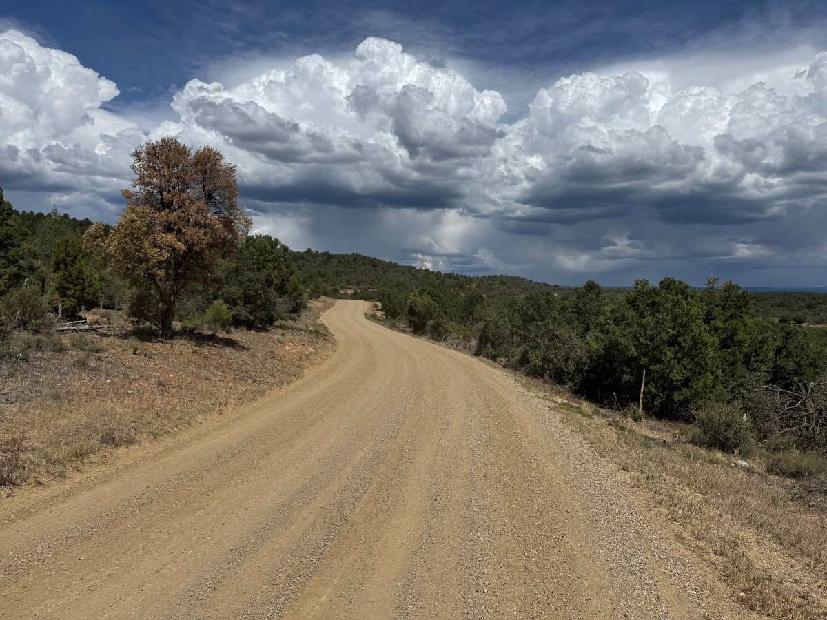
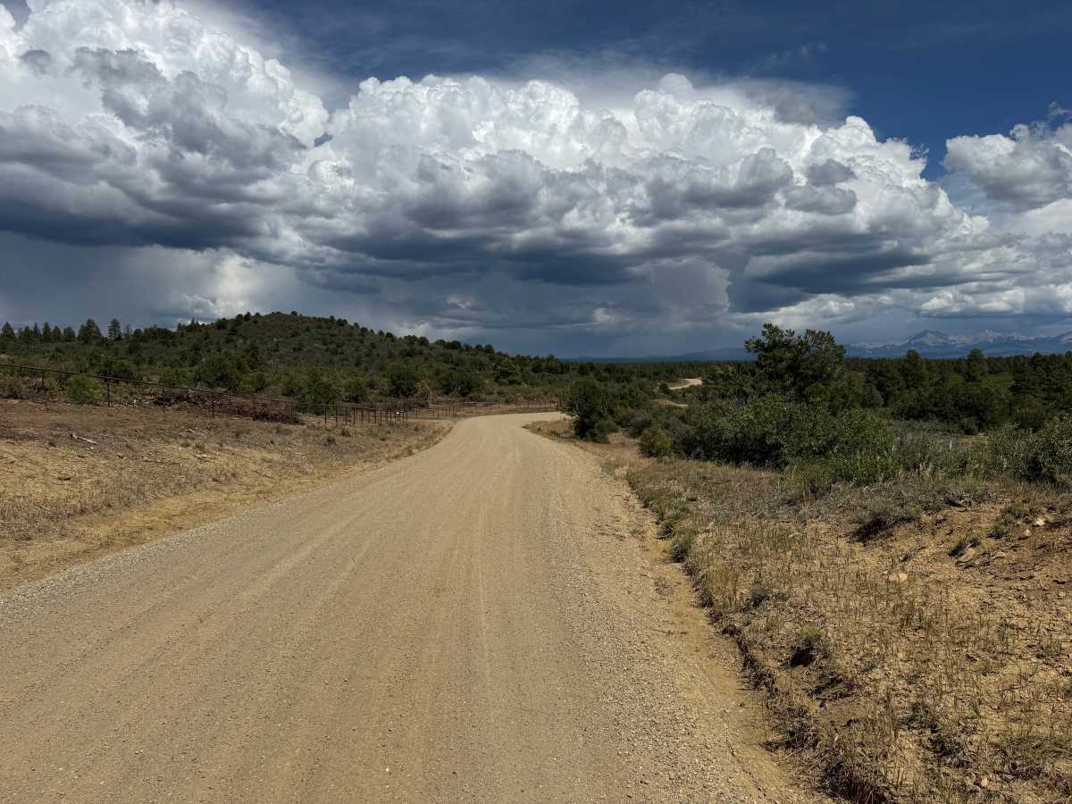
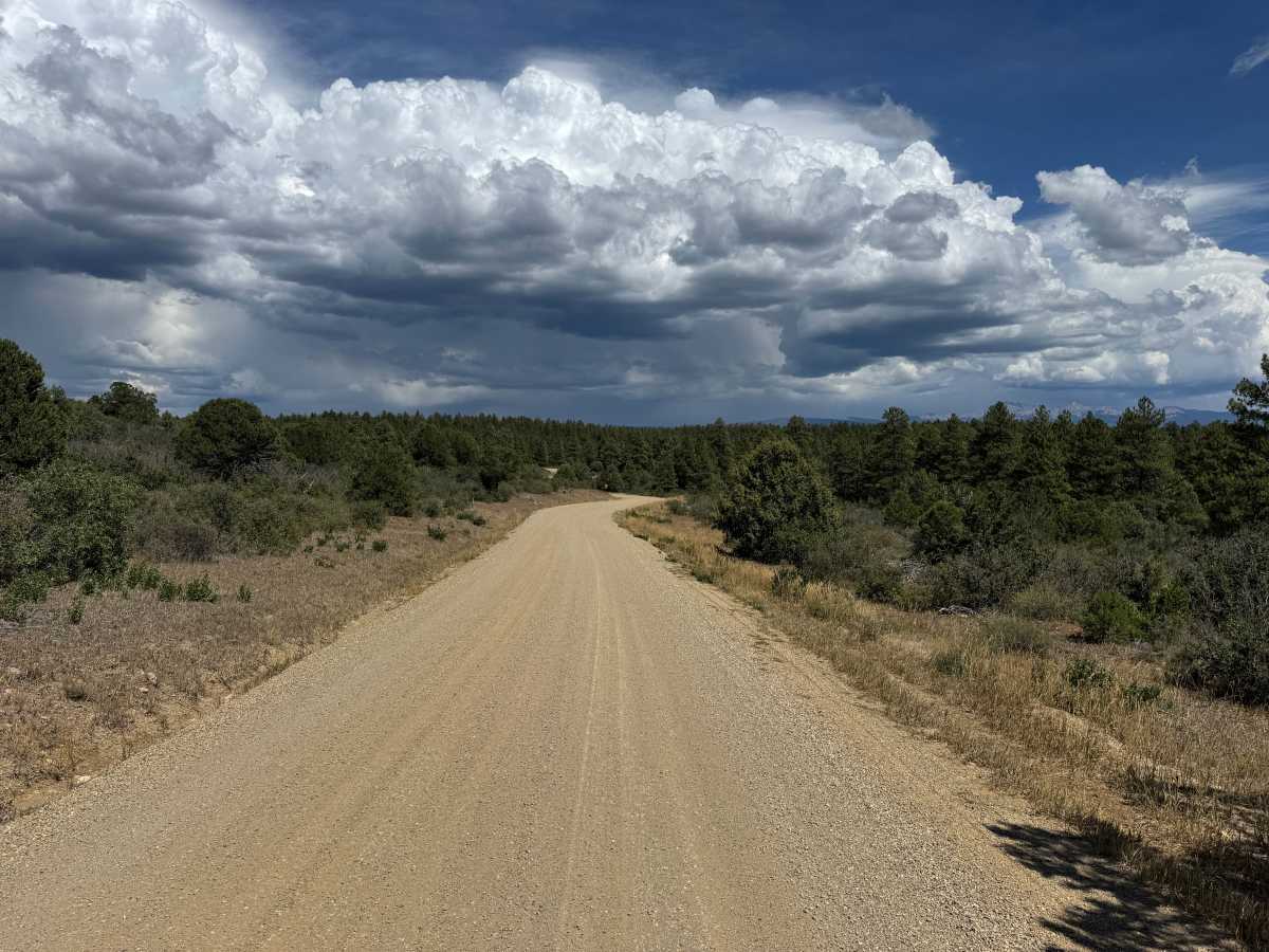
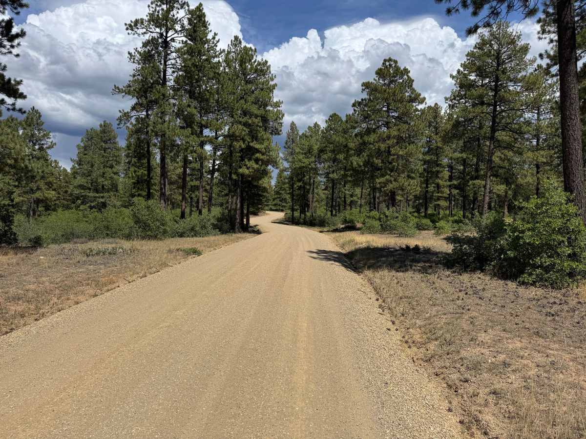
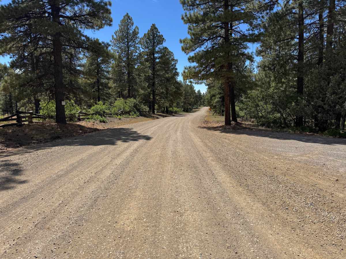
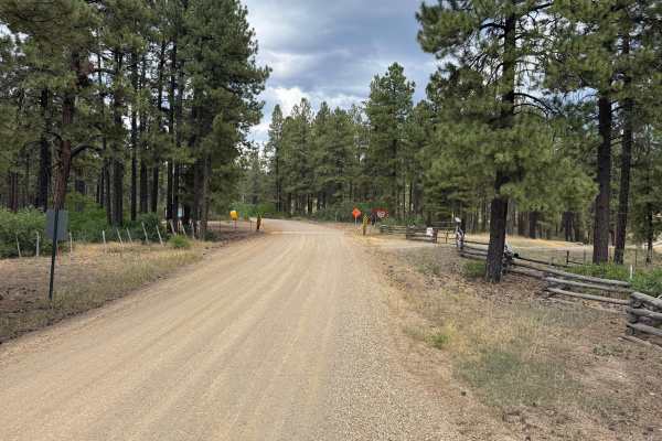
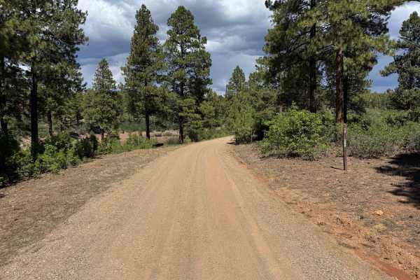
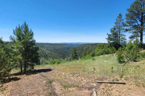
This route follows a mostly maintained gravel road that remains wide enough for two vehicles along most of its length. The surface consists primarily of compacted dirt and fine gravel, with relatively smooth and consistent conditions throughout. The road winds through rolling terrain with a mixture of open areas, low brush, and stands of mature pine trees. Several sections provide longer views across the surrounding landscape and distant mountains, while other portions pass through thicker forest. There are several curves and blind corners along the route, so watch for approaching traffic. Open ranching is present in the area, and livestock may be encountered on or near the roadway. Much of this route travels along an easement with private property bordering both sides, so remain on the designated road and respect all property boundaries.
Difficulty
Mostly maintained, compacted gravel with a wide and relatively smooth surface. There are no notable obstacles or technical sections. Blind corners, oncoming traffic, and livestock are the primary considerations along this route.
History
Haycamp Mesa has a long history as a working landscape used for livestock grazing, logging and forest management. During the 20th century, the Lost Canyon Stock Driveway served as the primary route for moving livestock across Haycamp Mesa and was used predominantly by sheep ranchers moving their herds to high-elevation summer grazing lands. Logging also played an important role in the area, and historical records document a Montezuma County Lumber Company railroad grade on Haycamp Mesa. These past uses helped create a network of transportation corridors across the mesa, while modern Forest Service roads continue to provide access for recreation and land management.

 Offroad