Trail Overview
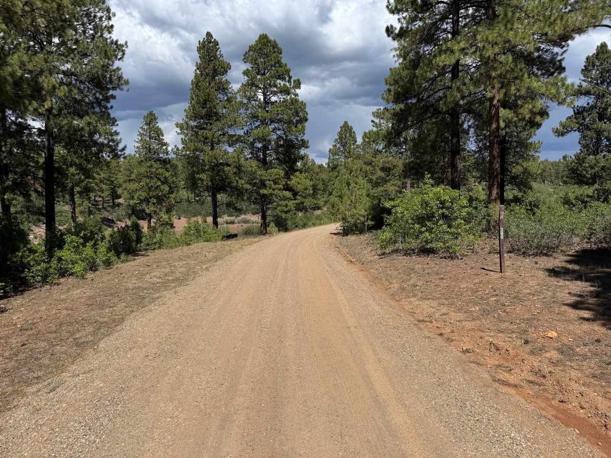
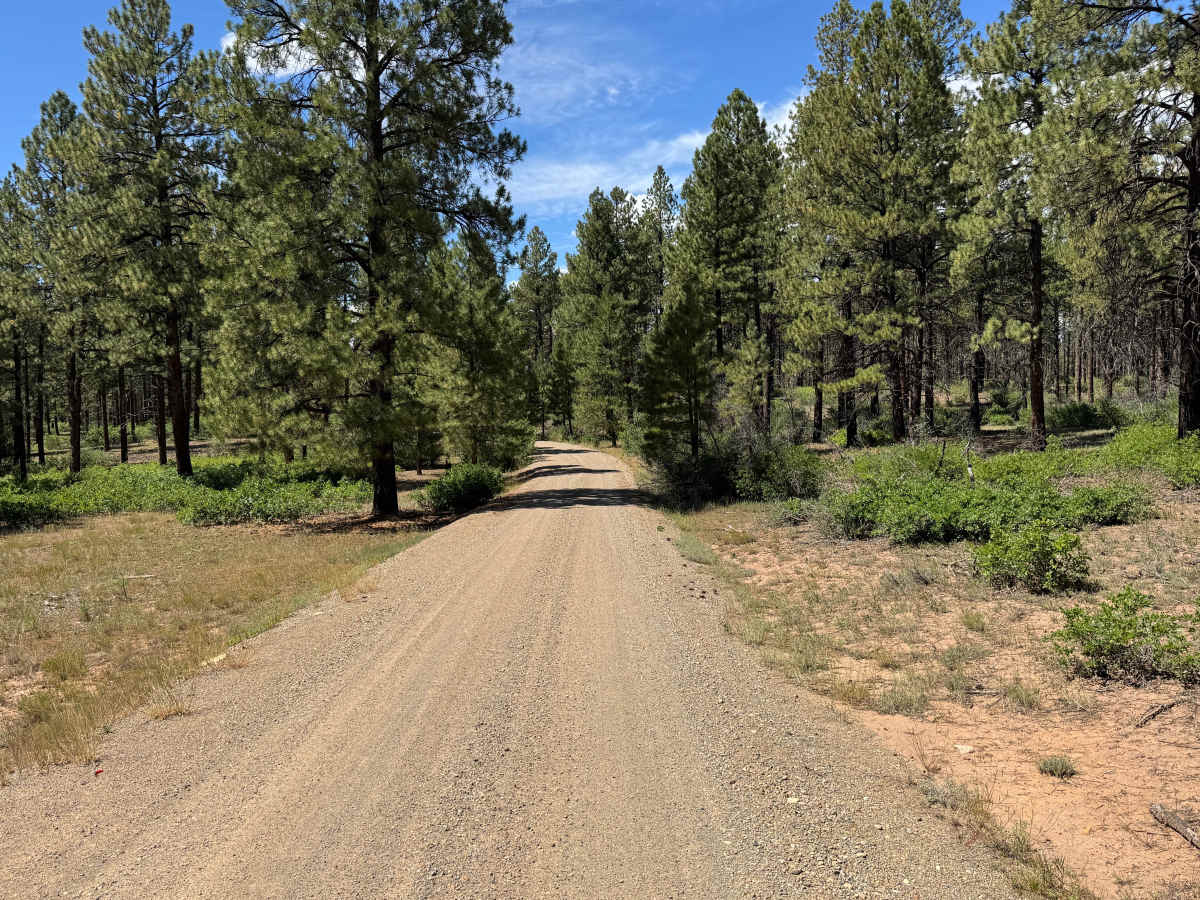
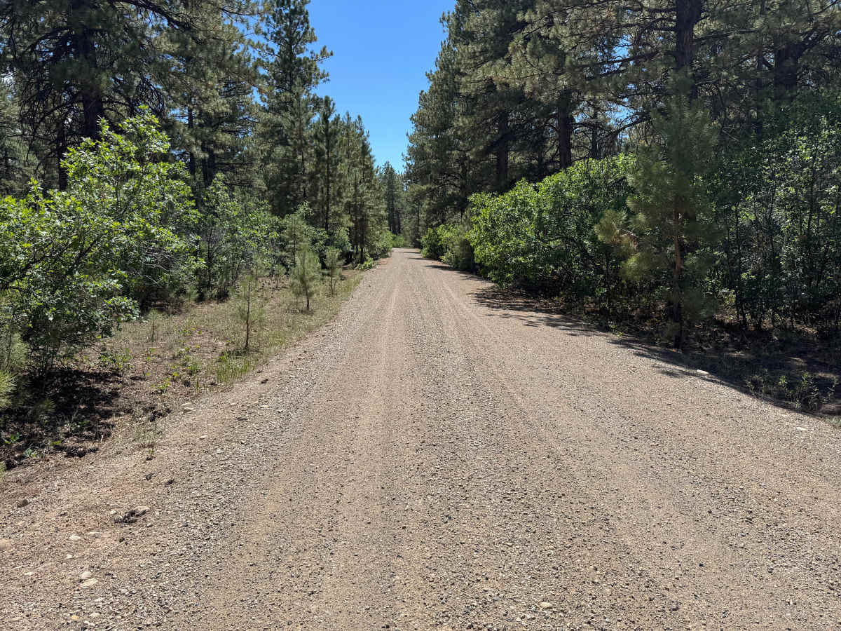
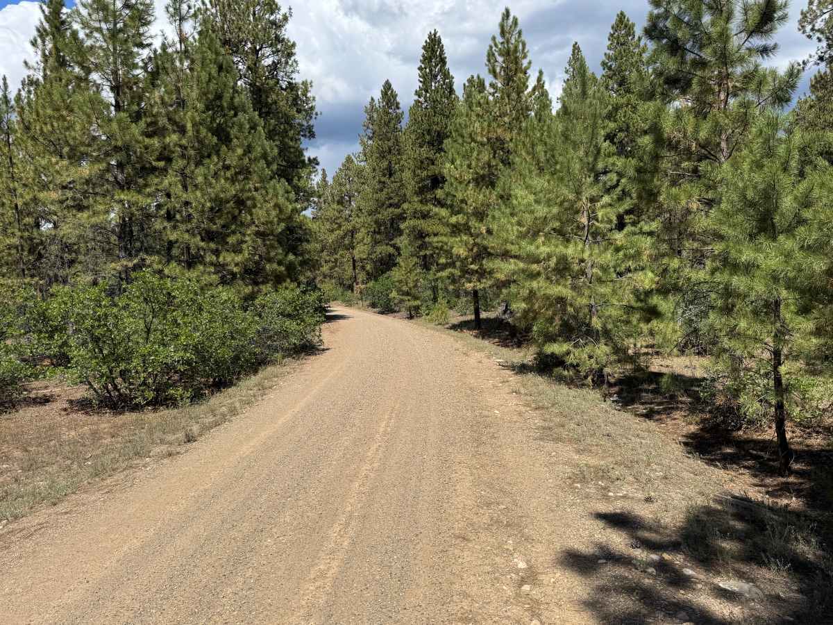
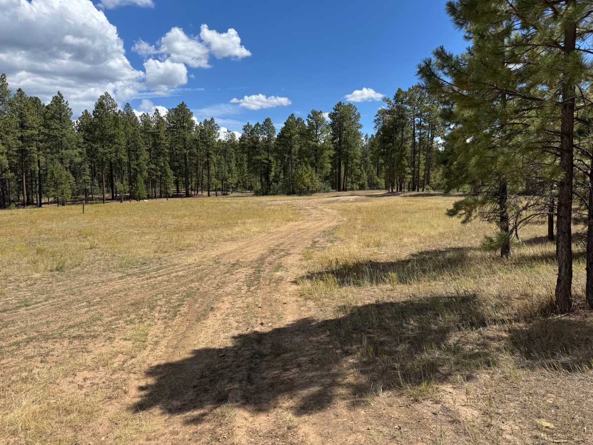
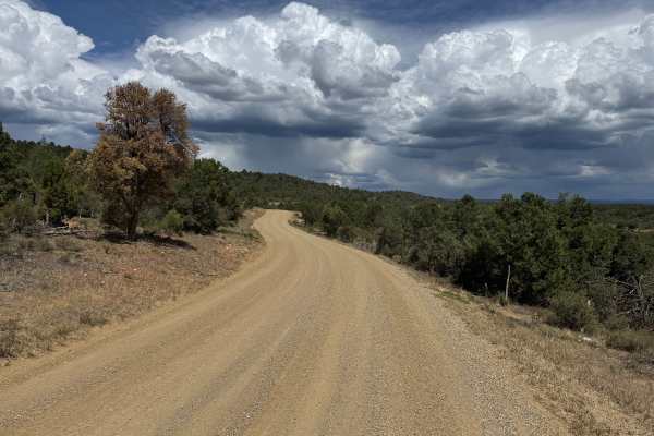
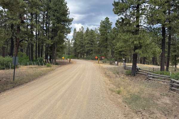
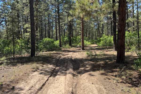
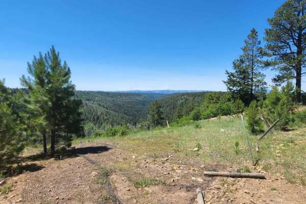
This route follows a mostly smooth, maintained gravel road that averages approximately 1 vehicle wide, with enough room in many areas for vehicles to safely pass. The road travels through a ponderosa pine forest with a mixture of mature trees, younger pines, dense green shrubs, and patches of dry grass along the shoulders. Before crossing the cattle guard and gate, the land on both sides of the road is private property, so remain on the designated route. Beyond the cattle guard, the route enters National Forest land and continues through the pine-covered landscape. The route eventually reaches a large, open grassy meadow surrounded by forest. A wide turnaround area makes it easy to turn around, and there is an established dispersed campsite nearby. The road surface remains primarily compacted gravel and dirt with no major obstacles or technical sections.
Difficulty
Mostly maintained gravel with a relatively smooth surface. There are no notable obstacles or technical sections requiring additional ground clearance, careful tire placement, or four-wheel drive. Minor loose gravel and occasional surface irregularities are the primary considerations along this route.
History
Haycamp Mesa has a long history of ranching, sheepherding, logging and transportation. Historic stock driveways and early roads crossed the mesa, providing access between ranching areas around Dolores and the higher summer ranges of the San Juan Mountains. The Lost Canyon Stock Driveway served as the primary livestock route across Haycamp Mesa throughout much of the 20th century and was used predominantly by sheep operations. Hispanic and Basque sheepherders also left hundreds of historic carvings, known as arborglyphs, in the area's aspen trees. Historic surveys have documented stock trails, camps, roads and other remnants associated with generations of livestock use. Logging and forest management also shaped portions of the mesa and contributed to the extensive network of roads that exists throughout the area today.

 Offroad