Trail Overview
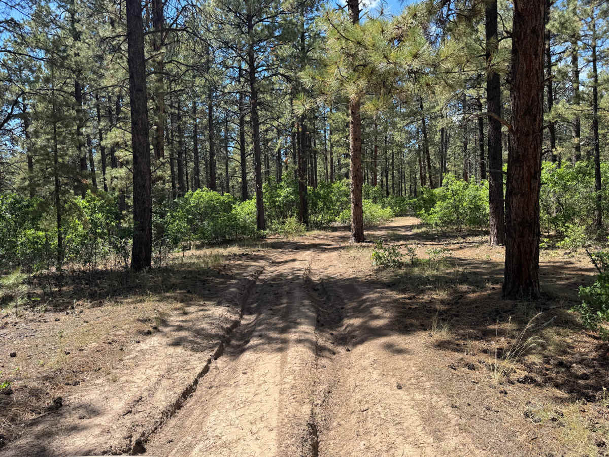
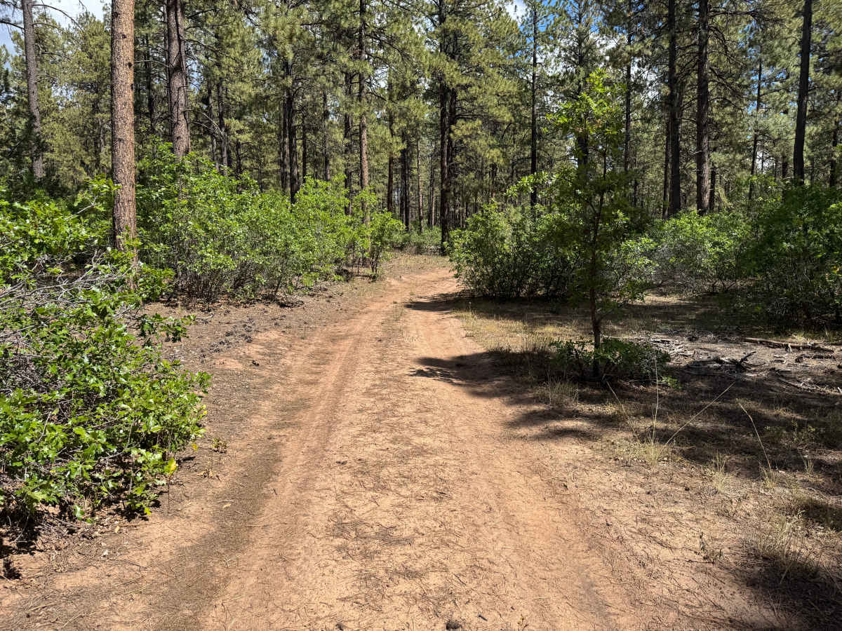
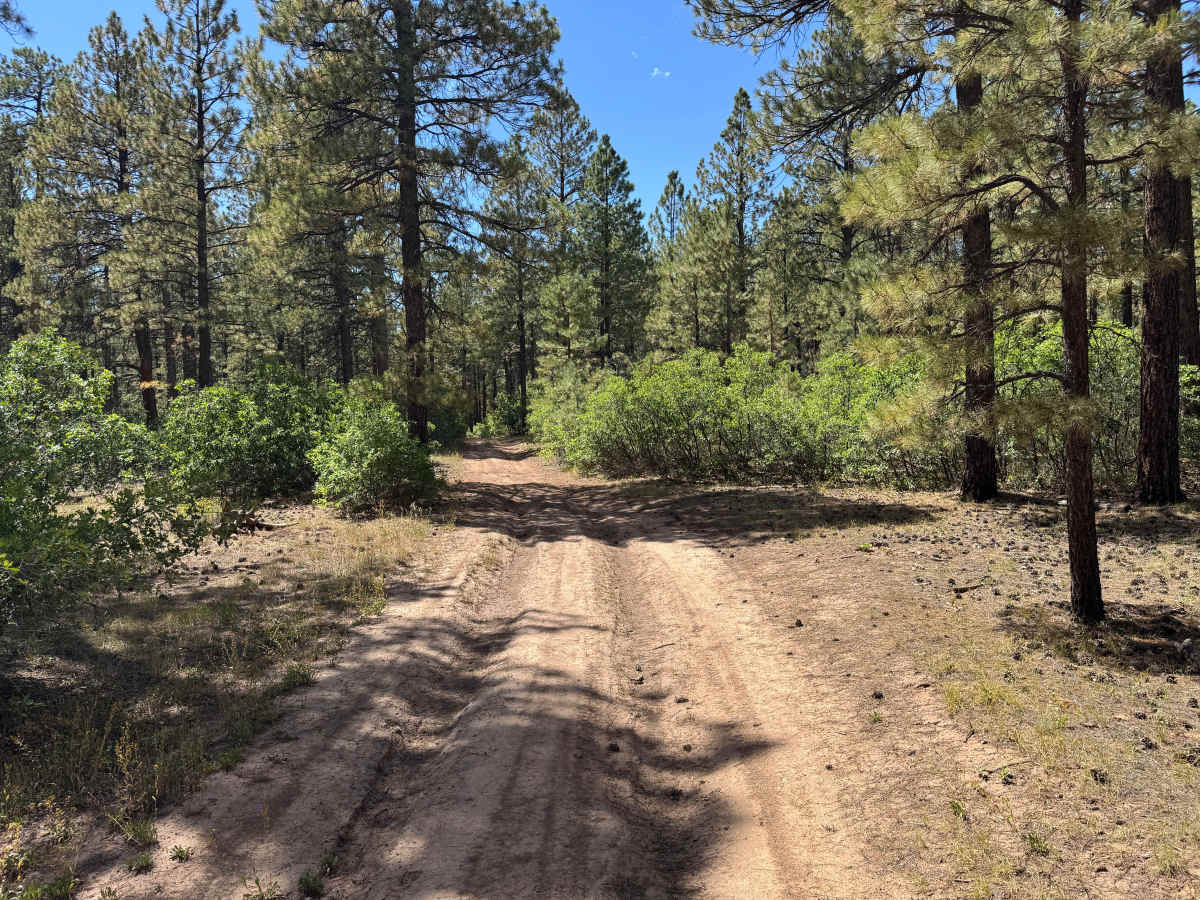
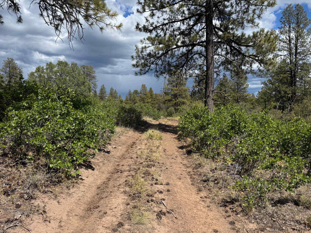
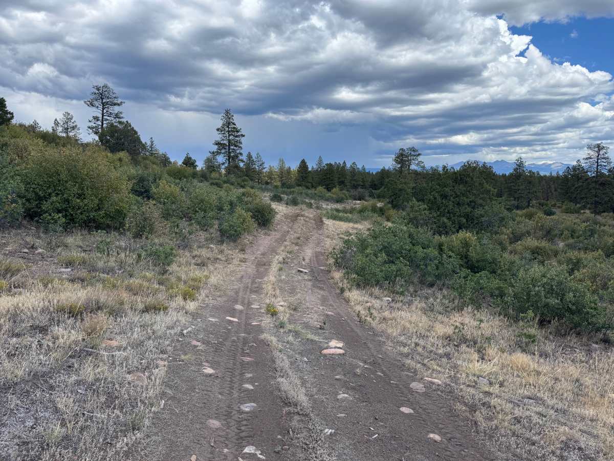
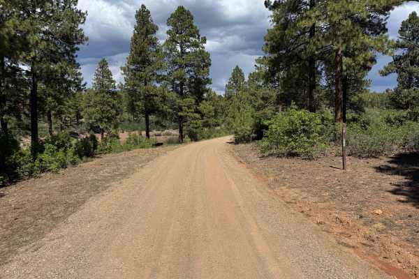
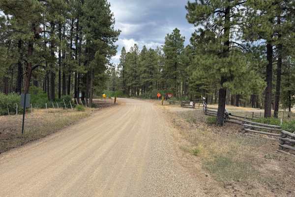
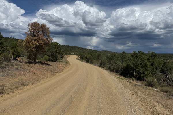
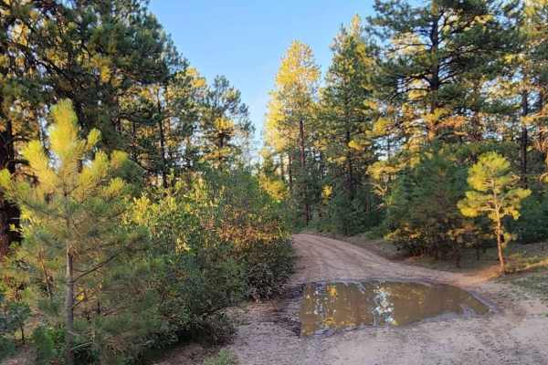
This route travels through a varied forest landscape dominated by tall pine trees, with thick green shrubs and other low-growing vegetation filling much of the understory. Portions of the route are heavily wooded, creating a shaded corridor through the forest, while other sections transition into more open terrain where the vegetation becomes shorter and more scattered. The ground along the route varies between lighter sandy soil and darker earth, with pine needles, grasses, and other natural forest debris visible throughout the area. As the tree cover begins to thin, the surrounding landscape becomes increasingly visible. Near the end of the route, the more open terrain provides broader views across the surrounding forest, rolling hills, and distant mountain landscape.
Difficulty
Mostly dirt with areas of loose sandy soil, shallow ruts, minor erosion, and scattered embedded rocks. The route does not contain any major obstacles or technical sections, though occasional uneven areas may require slower speeds and careful tire placement.
History
Haycamp Mesa has a long history of ranching, sheepherding, logging, and transportation. Historic stock driveways and early roads crossed the mesa, providing access between ranching areas around Dolores and the higher summer ranges of the San Juan Mountains. The Lost Canyon Stock Driveway served as the primary livestock route across Haycamp Mesa throughout much of the 20th century and was used predominantly by sheep operations. Hispanic and Basque sheepherders also left hundreds of historic carvings, known as arborglyphs, in the area's aspen trees. Historic surveys have documented stock trails, camps, roads, and other remnants associated with generations of livestock use. Logging and forest management also shaped portions of the mesa and contributed to the extensive network of roads that exists throughout the area today.