Trail Overview
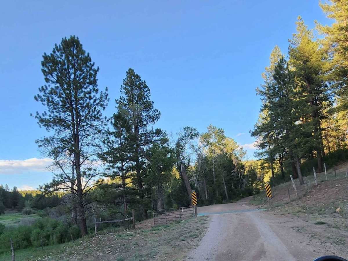
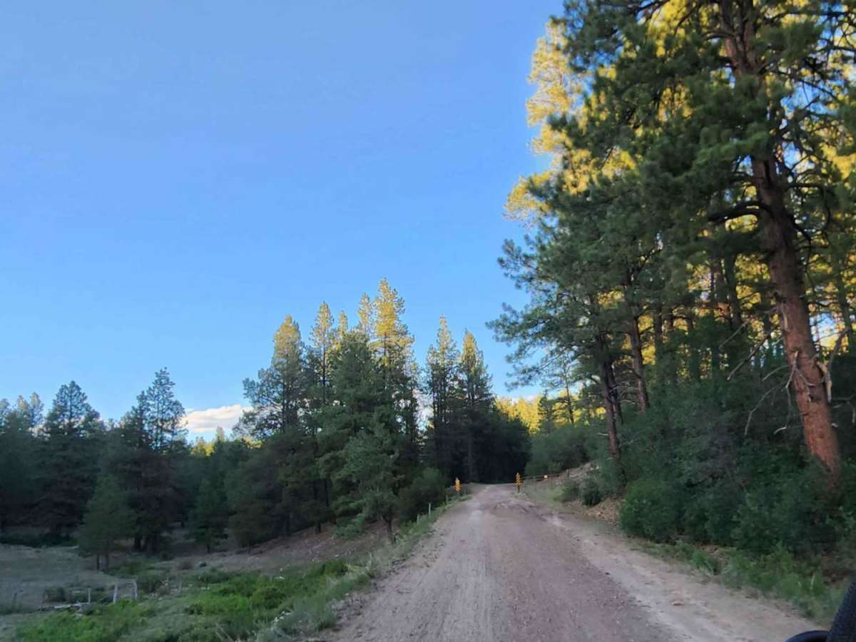
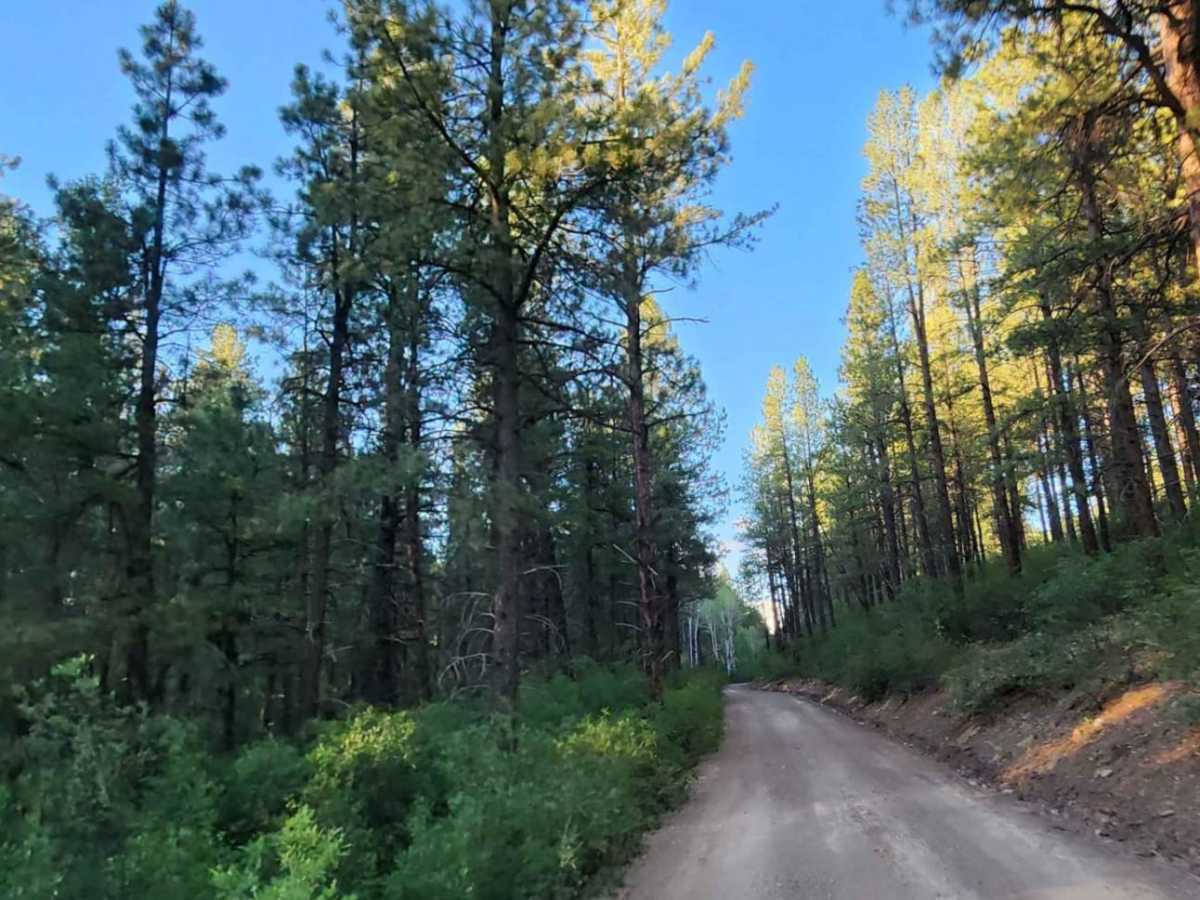
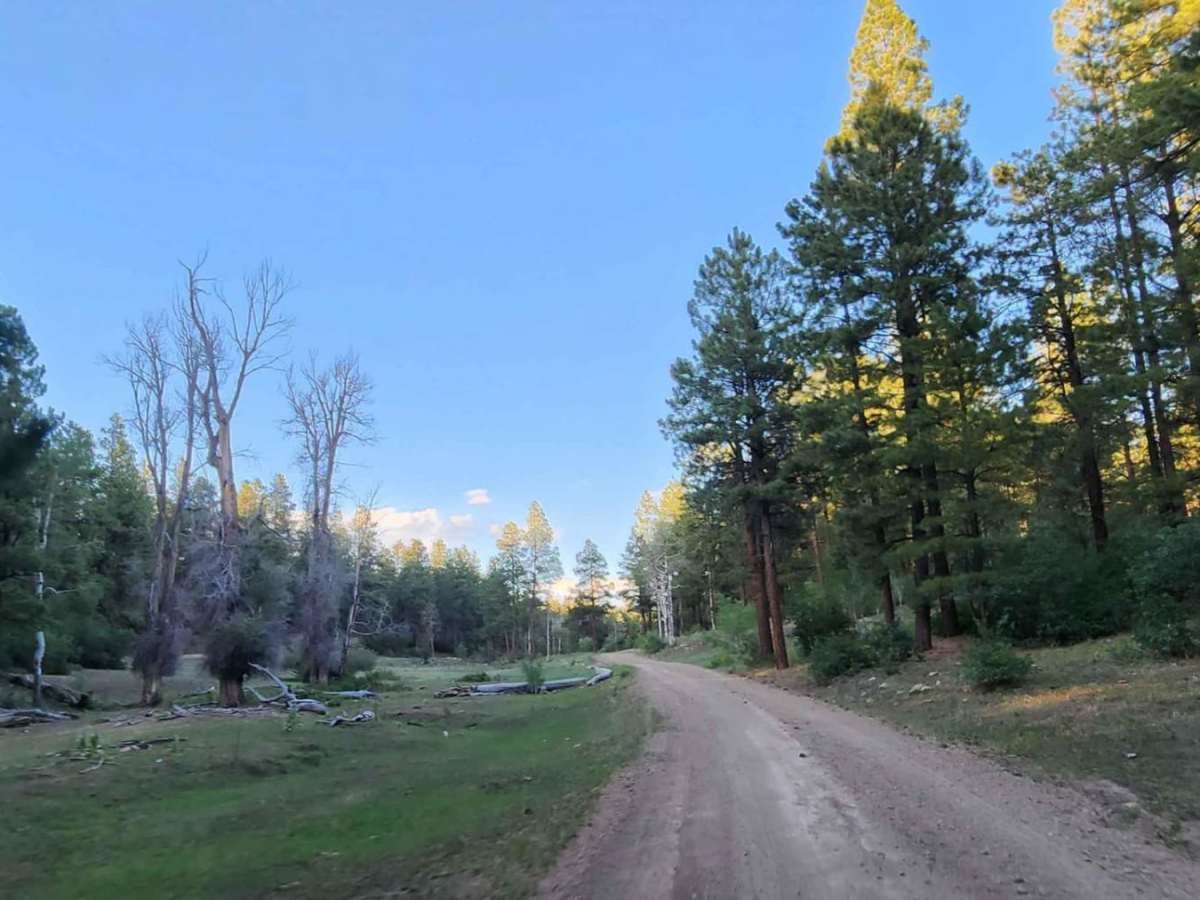
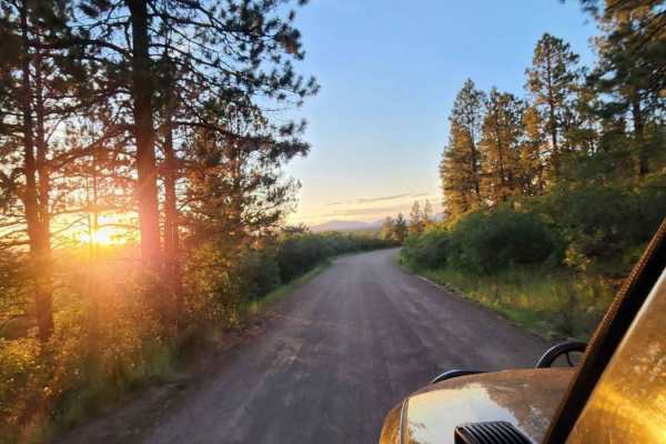
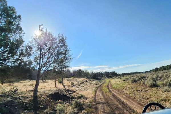
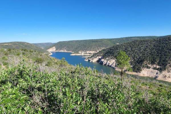
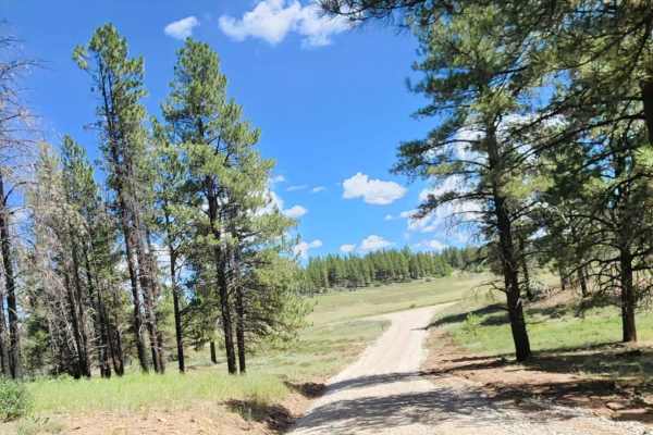
Upper House Creek Road is an ideal route for scenic explorers, campers, and mountain bikers looking to venture into the scenic Boggy Draw area of the San Juan National Forest near Dolores, Colorado. Stretching approximately 5.9 miles, this four-wheel-drive trail gains about 1,050 feet in elevation as it climbs from around 7,313 feet to its peak at 8,368 feet. The road consists of a mix of dirt and rocky surfaces, typically measuring one to two vehicles wide, making it accessible to most high-clearance four-wheel-drive vehicles, SxSs, and dirt bikes. Travelers can expect mild terrain with a technical rating of 2, though obstacles like small ledges under 12 inches and shallow water crossings can occasionally be encountered along the way.
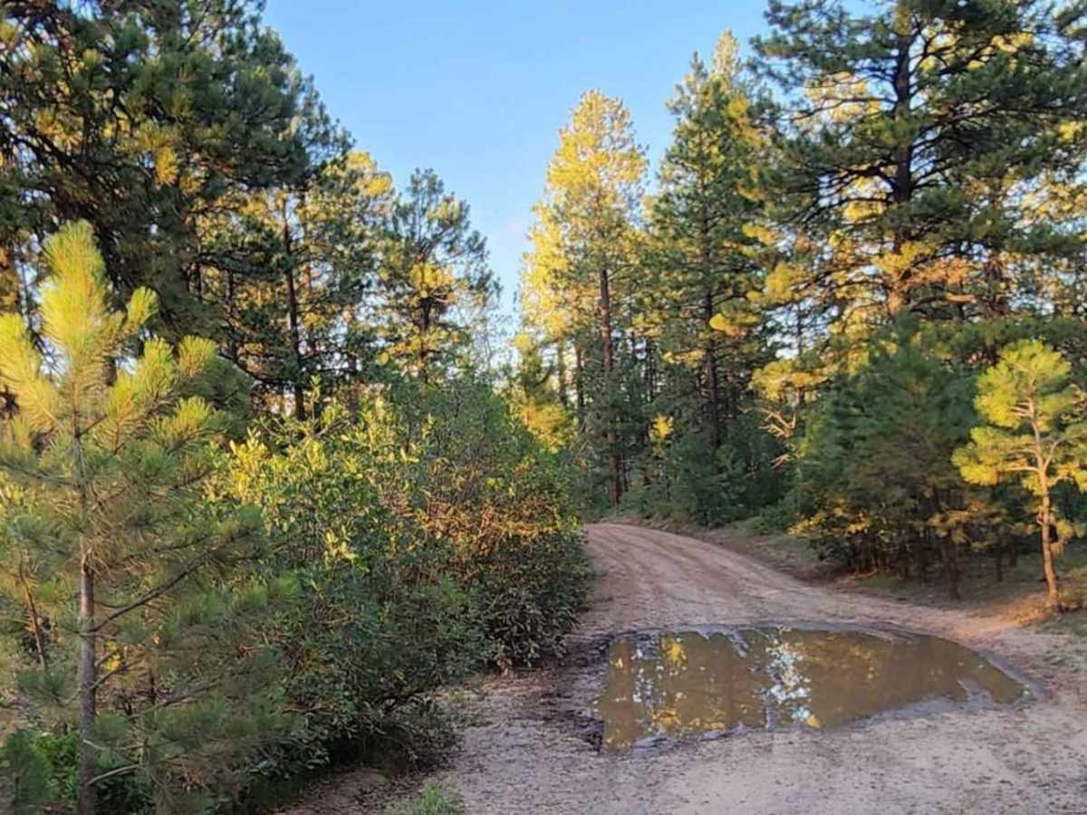
The route is highly susceptible to wet weather and can become exceptionally muddy during or after rain and snowmelt, which may temporarily increase the difficulty. Dispersed camping opportunities are abundant throughout the corridor, providing excellent base camps for those looking to explore the nearby Boggy Draw Trail System, popular for mountain biking and hiking. Side trips to points of interest like Peel Spring or Horse Barn Spring offer additional scenery. It is highly recommended to check local weather and trail conditions, as the road is typically unmaintained during winter and wet seasons.

 Offroad