Trail Overview
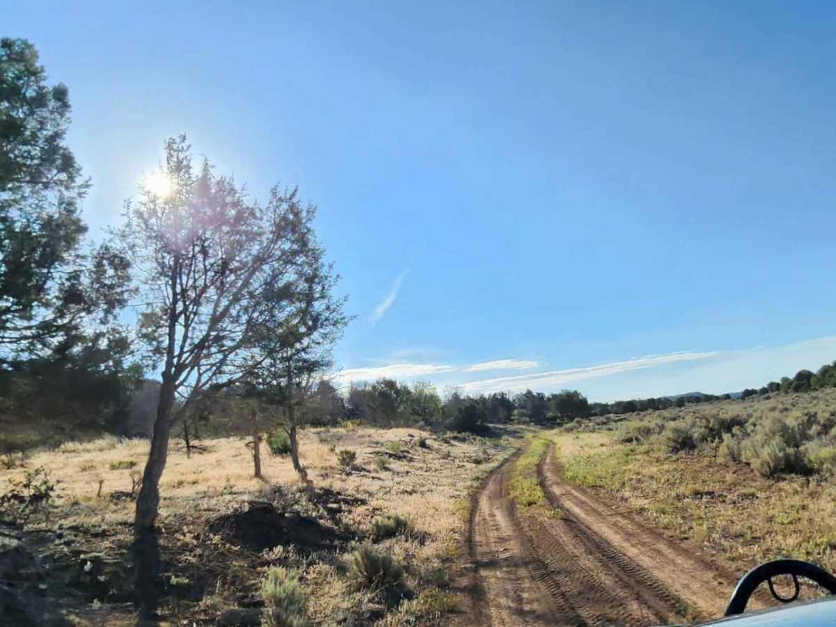
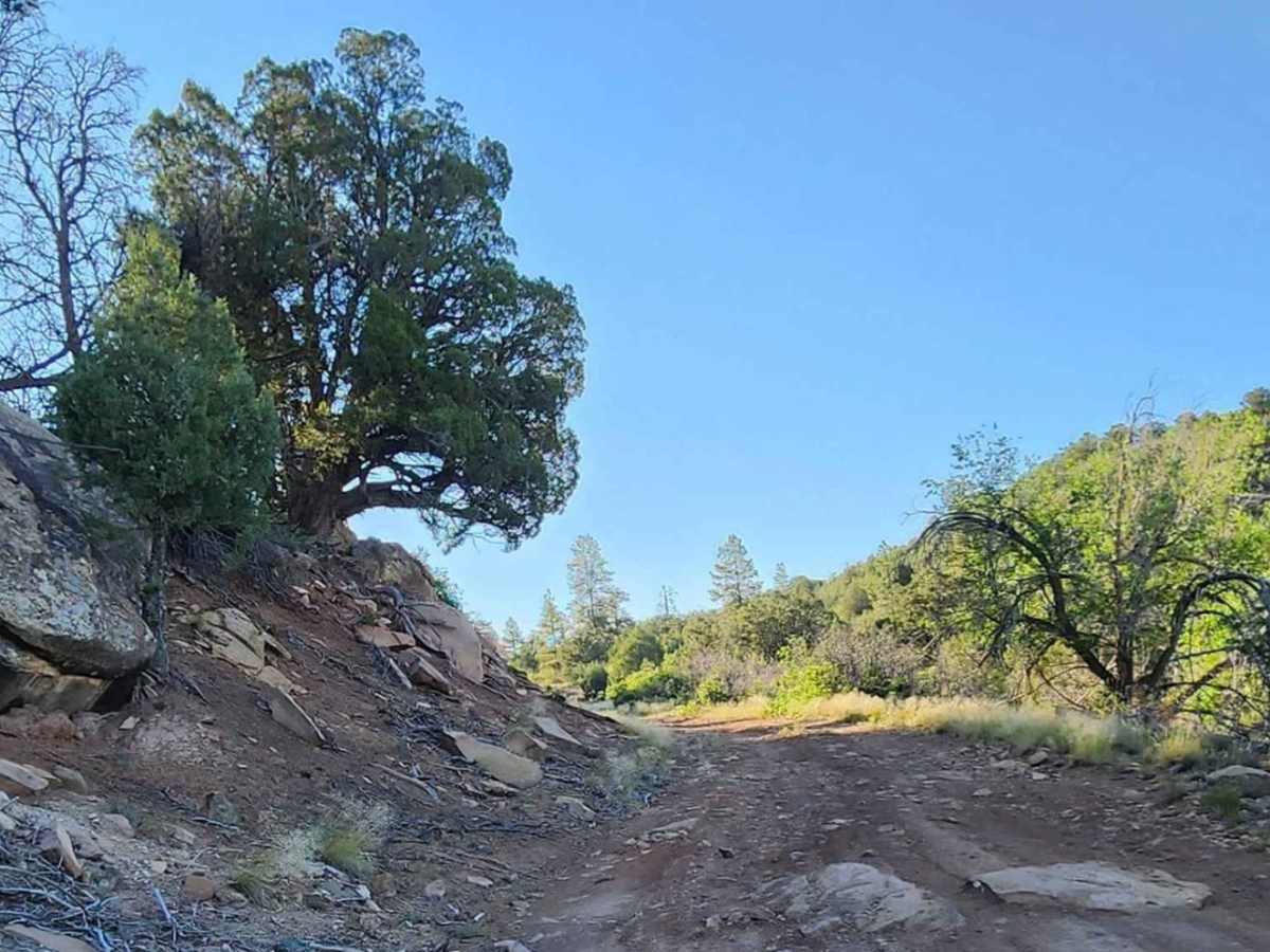
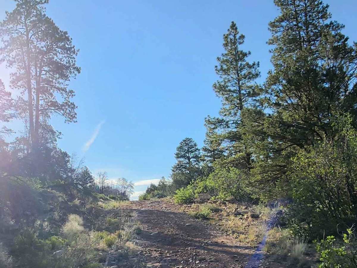
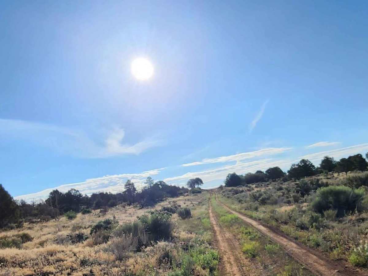
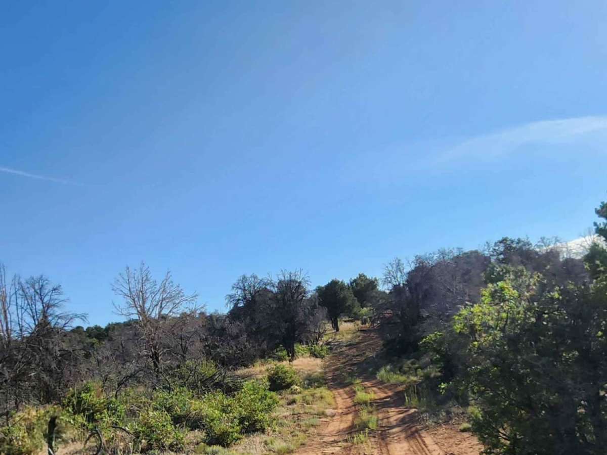
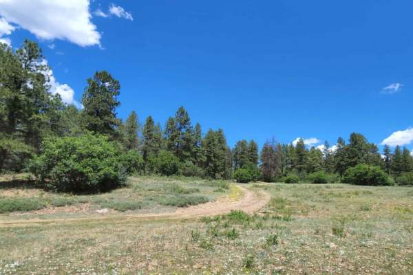
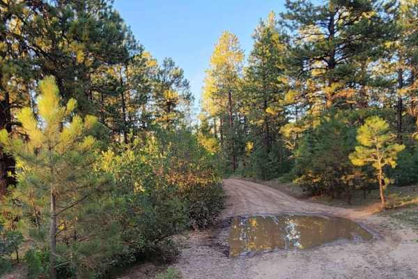
Beaver Rim Road is an inviting 5.7-mile off-road route near McPhee Reservoir, ideal for beginners and scenic drivers seeking a rewarding destination with a stunning overlook at the trail's end. Navigating through the picturesque landscape of southwestern Colorado, the trail begins near the Boggy Draw area and rises from an elevation of 7,019 feet to a peak of 7,645 feet, gaining approximately 702 feet along the way. The surface consists primarily of dirt and rocky terrain that is typically one to two vehicles wide. While generally straightforward, the route features areas that can become tight and overgrown, as well as several rutted sections that pose traction challenges when wet.
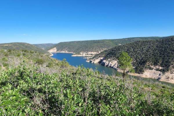
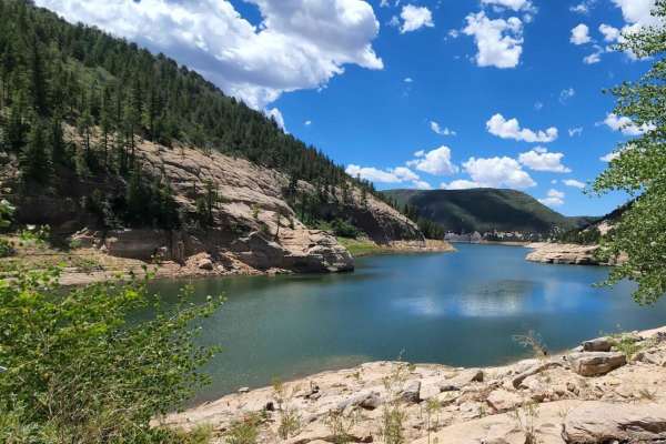
With a low technical rating of 2, this trail is accessible to most stock high-clearance four-wheel-drive vehicles, though drivers should be prepared for minor obstacles under 12 inches, including small ledges and shallow water crossings. The route is unmaintained during winter and after heavy rain or snow, making dry summer and early autumn months the best time to visit. Dispersed camping spots are scattered along the route. The trail culminates in a viewpoint overlooking McPhee Reservoir and the surrounding canyon country.
Access Description
Beaver Rim Road is located within the San Juan National Forest and is subject to seasonal closures during winter and spring when snow makes the trail impassable. No permits or fees are required to drive the road or use the dispersed campsites along the route, but vehicles must remain on designated tracks.