Trail Overview
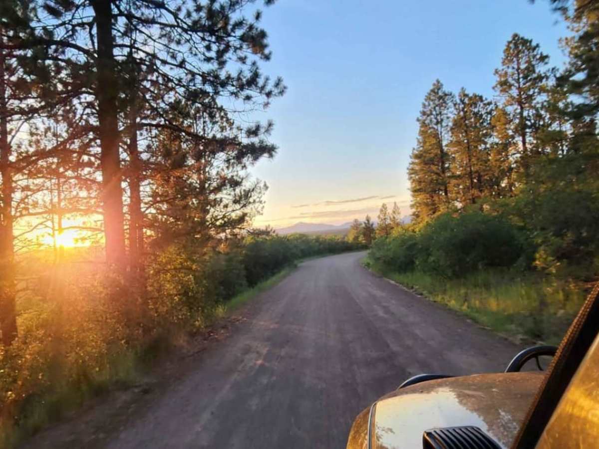
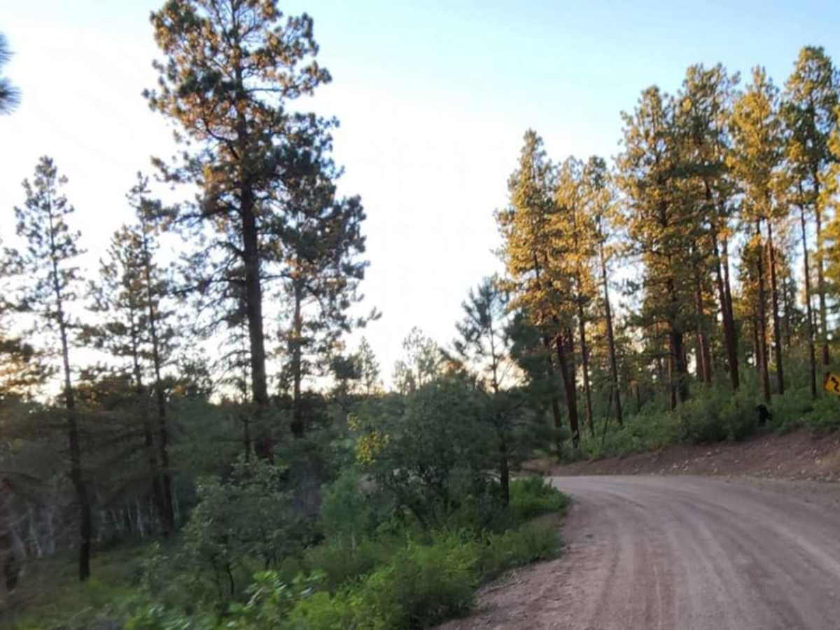
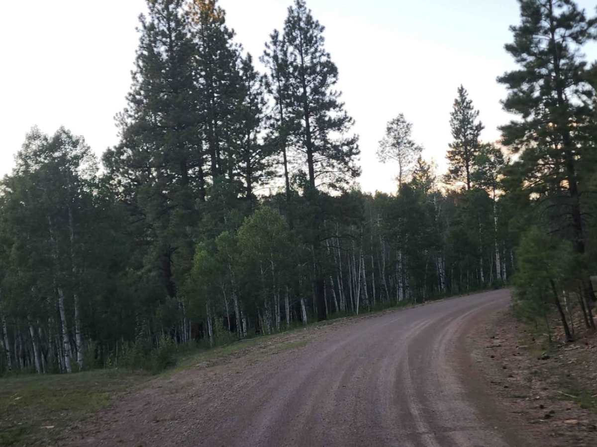
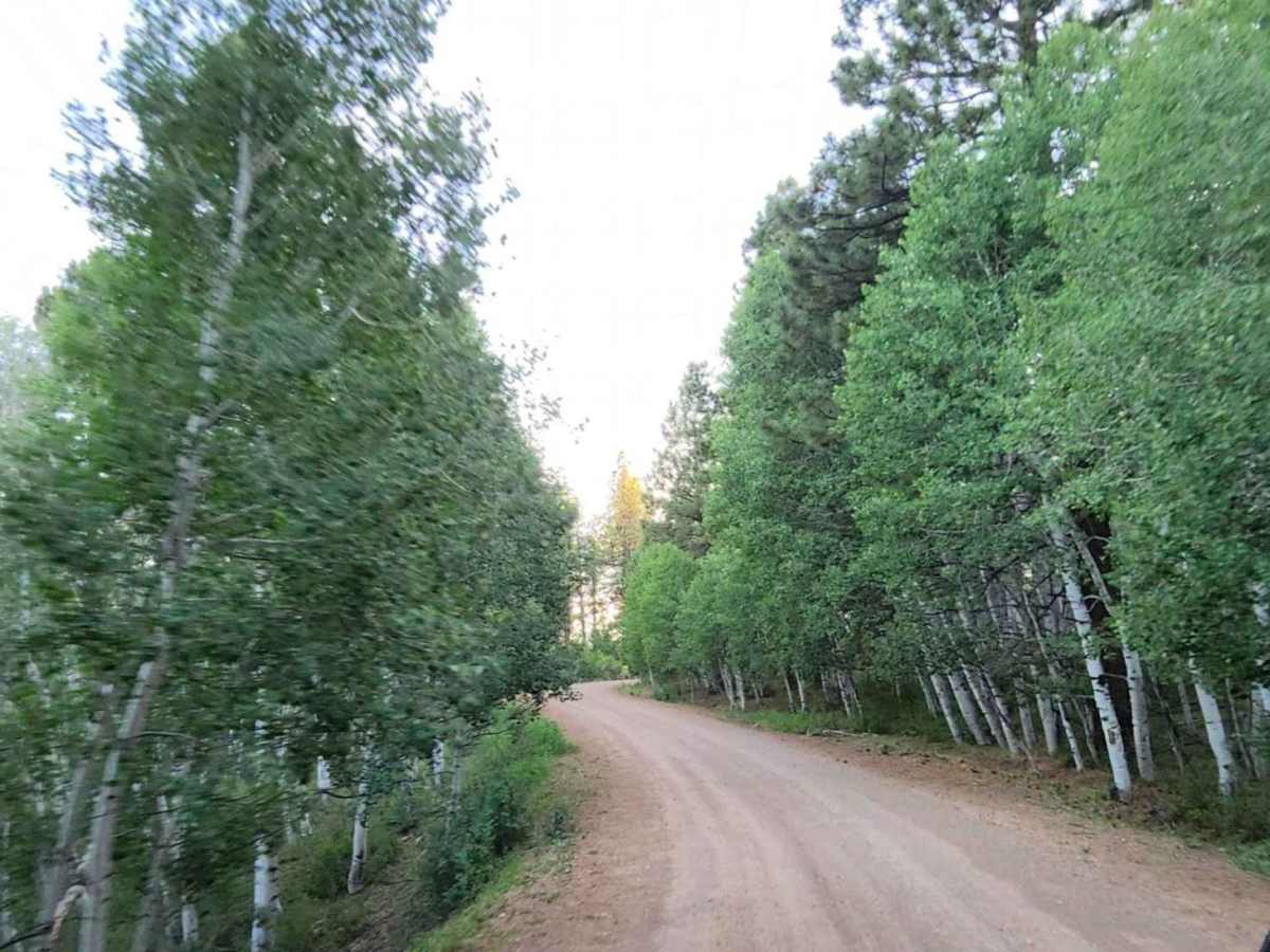
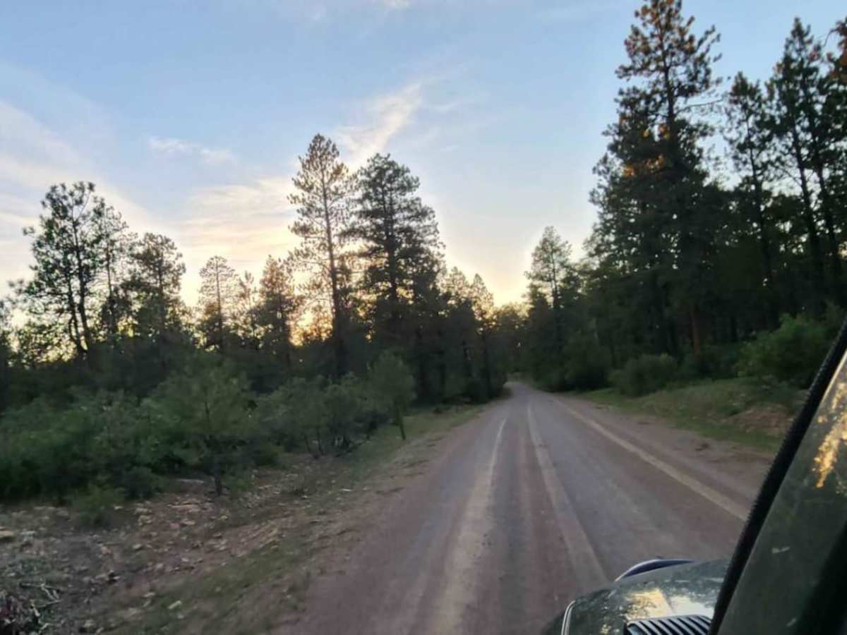
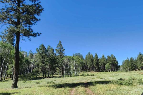
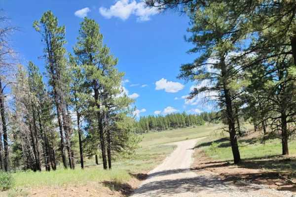
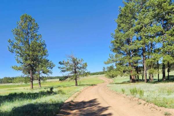
Boggy Draw Road is a scenic, beginner-friendly route near Dolores, Colorado, ideal for offroaders seeking easy access to the region’s premier non-motorized trail systems and dispersed camping. Stretching approximately 3.8 miles through the lush ponderosa pines of the San Juan National Forest, this unpaved road rises to a maximum elevation of 8,378 feet. The road features a wide, double-lane dirt and rock surface that remains accessible to most high-clearance two-wheel-drive and standard four-wheel-drive vehicles. Along the drive, travelers can enjoy rolling terrain with minimal elevation changes, making it a stress-free route for families and those towing trailers to set up camp.
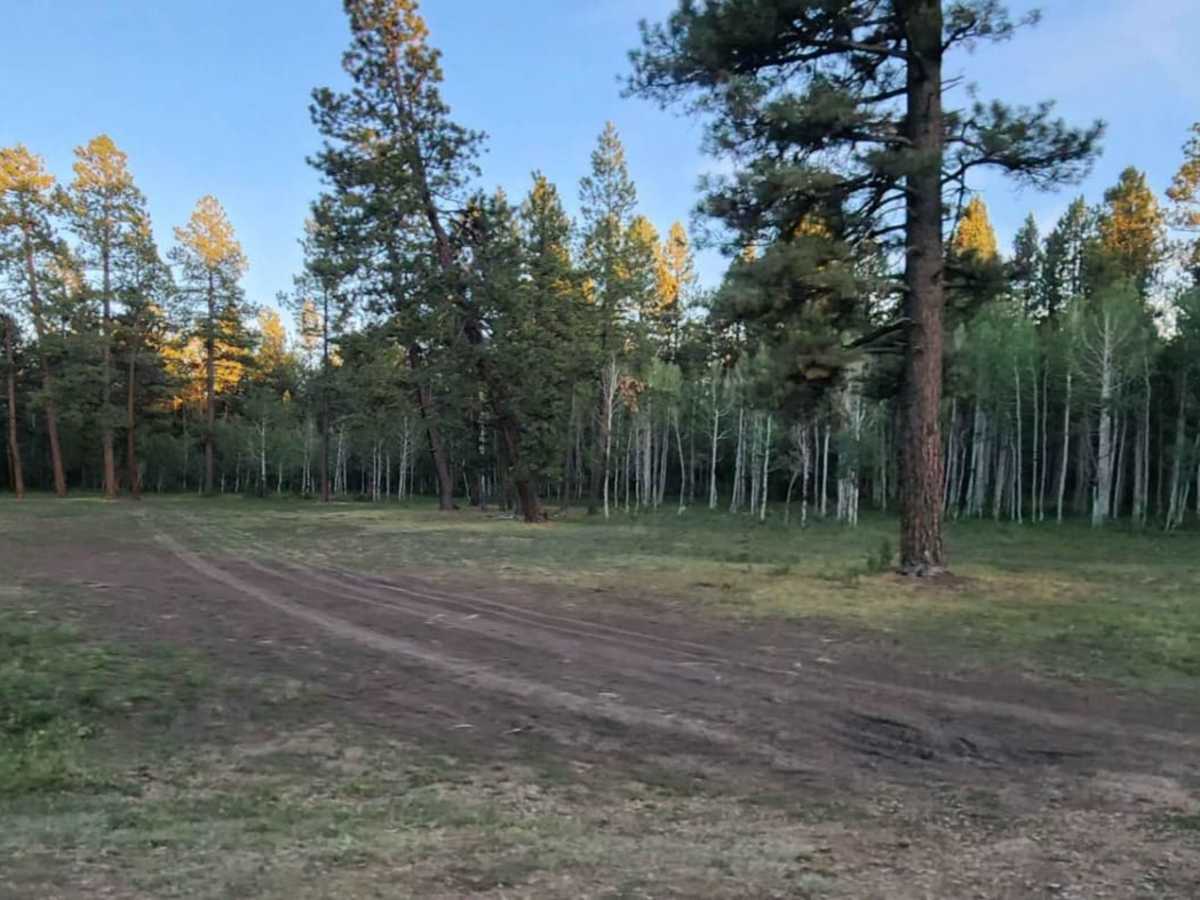
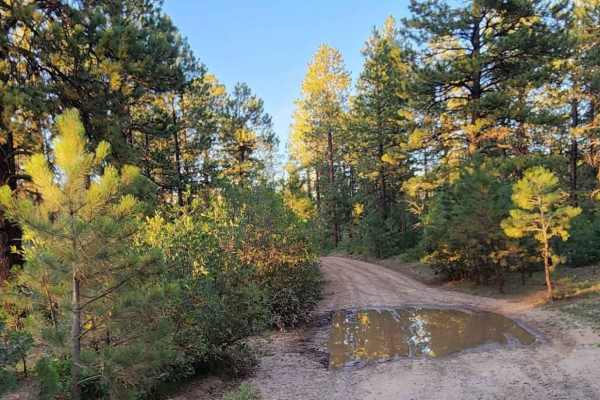
While the route is generally straightforward and highly approachable, the dirt surface can become slick and deeply rutted during wet periods, requiring caution and occasionally four-wheel drive. The surrounding area is highly popular for outdoor recreation, serving as a primary corridor to the extensive Boggy Draw trail network, which is renowned for mountain biking, hiking, and horseback riding. Several scenic reservoirs, such as Boggy Draw Reservoir and nearby Phoneline Reservoir, dot the landscape, offering scenic backdrops for day-use activities. Dispersed camping is widely available along the road, providing an excellent basecamp for exploring the surrounding national forest.
Access Description
Managed by the San Juan National Forest, the road is open seasonally and is free to access. Standard high-clearance two-wheel-drive vehicles can navigate the route in dry conditions, but four-wheel drive may be required when wet due to slick mud and rutted surfaces. Dispersed camping is permitted in designated areas along the corridor.

 Offroad