Trail Overview
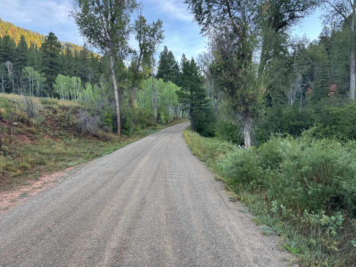
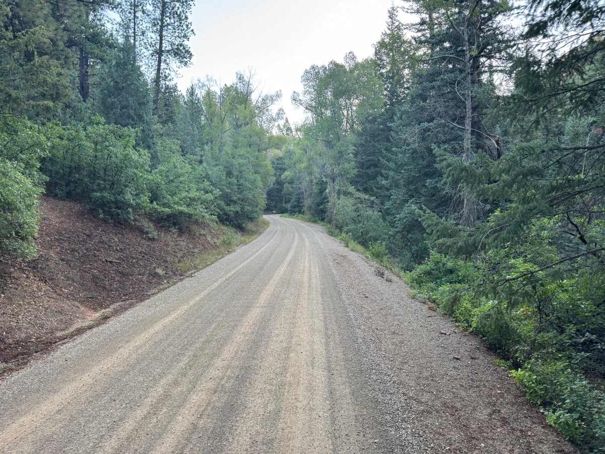
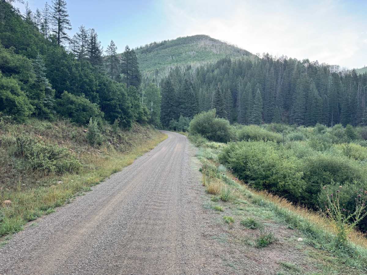
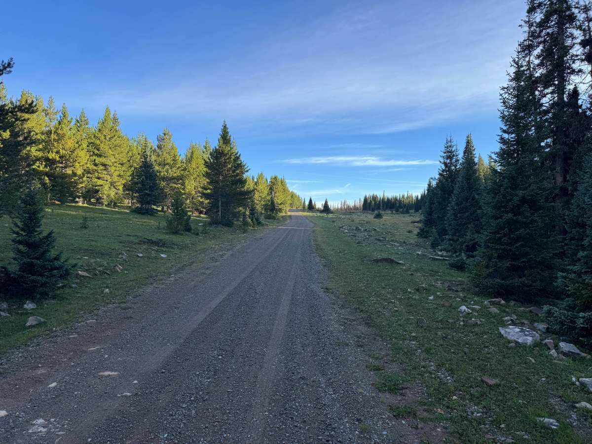
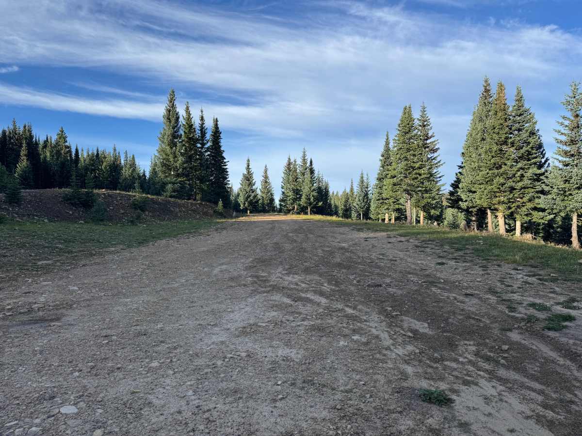
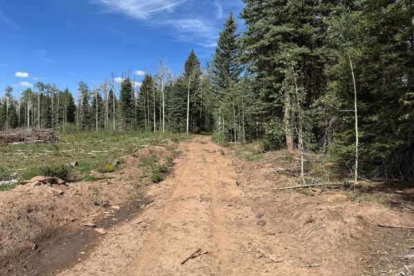
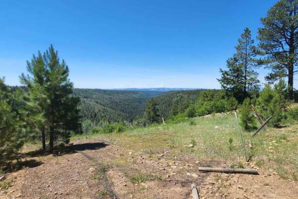
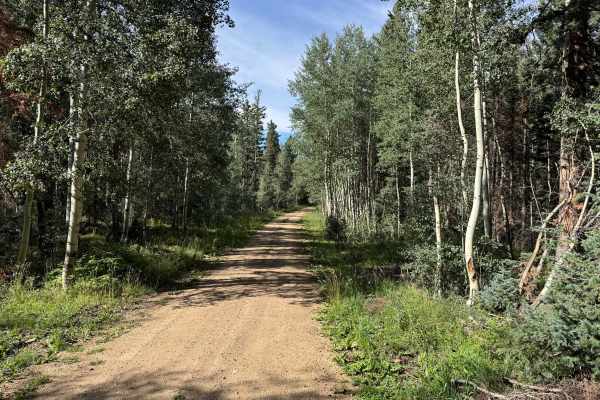
For roughly the first 13 miles, this route follows a wide, well-maintained gravel road as it gradually climbs through the San Juan National Forest. The surface is predominantly compacted gravel with very few rough areas, making most of the route an easy and comfortable drive. Along the climb, the road winds through dense stands of pine, fir, and aspen, occasionally opening into grassy meadows and areas with expansive views of the surrounding forested mountains. Several spur trails branch from the main route along the way. Steeper grades and hairpin turns are encountered as the road gains elevation, but the maintained surface provides good traction. During the final half mile, the road becomes noticeably rougher and more deteriorated, with a less-maintained dirt and rocky surface. High clearance and 4WD are recommended for this final section. The route eventually reaches a large open area surrounded by high-elevation evergreen forest.
Difficulty
Mostly well-maintained gravel with a smooth, compacted surface for approximately the first 13 miles. There are no major obstacles, ledges, or technical rock sections along the majority of the route. The primary challenges are the steeper mountain grades, hairpin turns, and the final half mile where the road becomes rougher and more deteriorated, with exposed dirt and rock. A stock 2WD vehicle should have little difficulty with the maintained portion under normal dry conditions, while a stock high-clearance 4x4 is recommended for completing the final section.
History
The Taylor Creek and Taylor Mesa area has long served as an access corridor into the western San Juan Mountains. Roads across the mesa have supported ranching, livestock grazing, timber management, hunting, and other uses of the surrounding National Forest. Taylor Creek Road remains one of the primary Forest Service access routes onto Taylor Mesa and connects with an extensive network of historic and modern backcountry roads. Below the mesa, the Dolores River valley was also an important transportation corridor. The Rio Grande Southern Railroad once followed portions of this valley between Dolores and Rico, and sections of today's CO-145 were later constructed over or alongside the former railroad grade.