Trail Overview
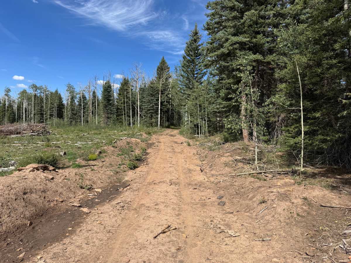
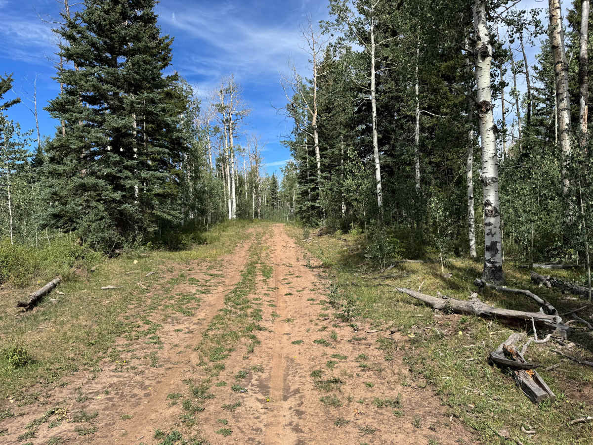
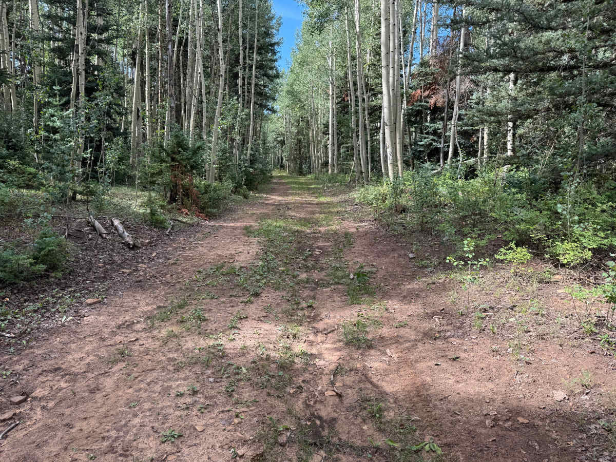
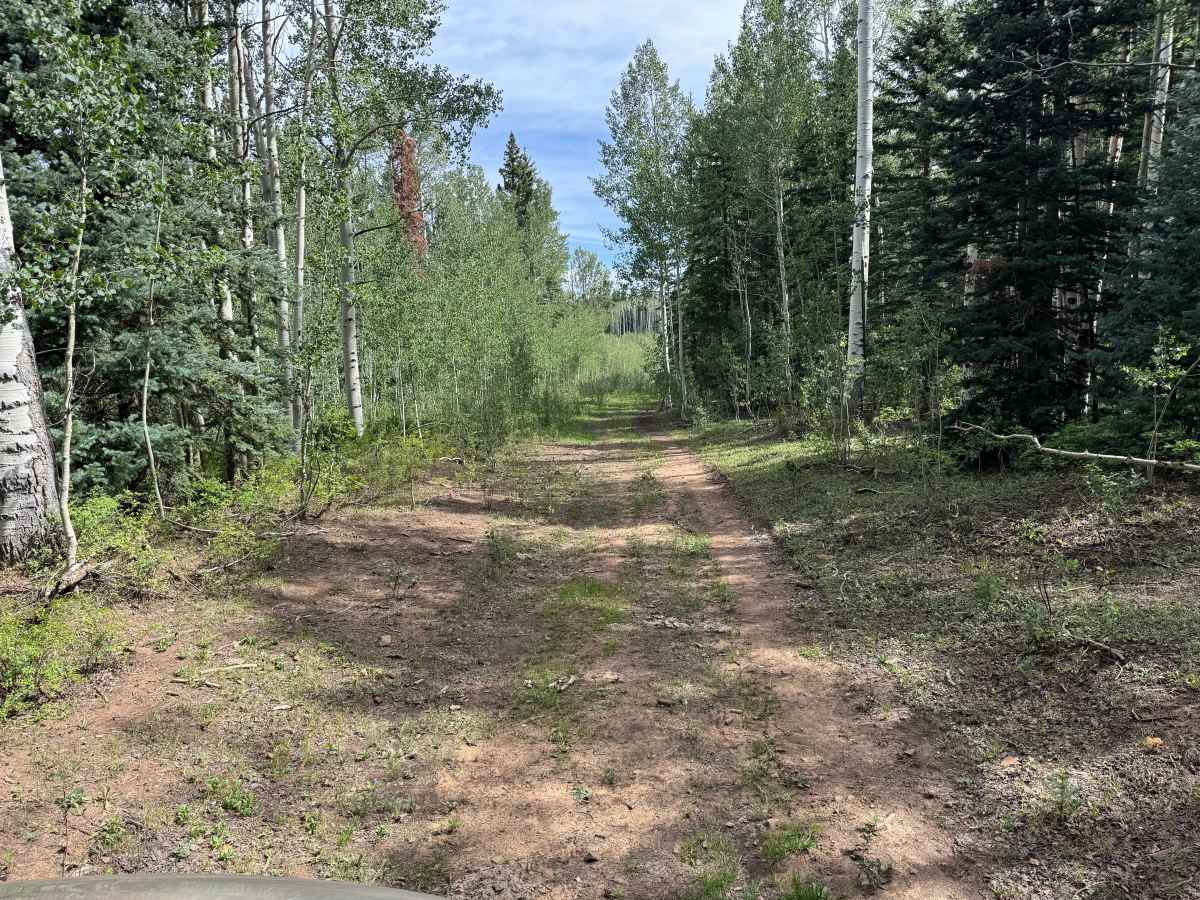
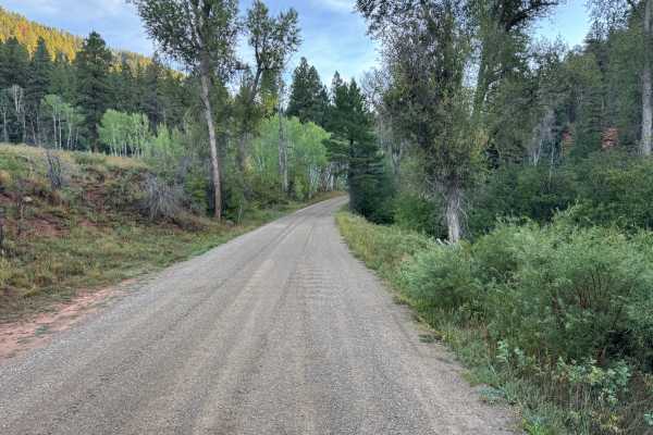
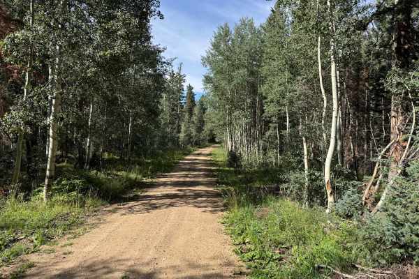
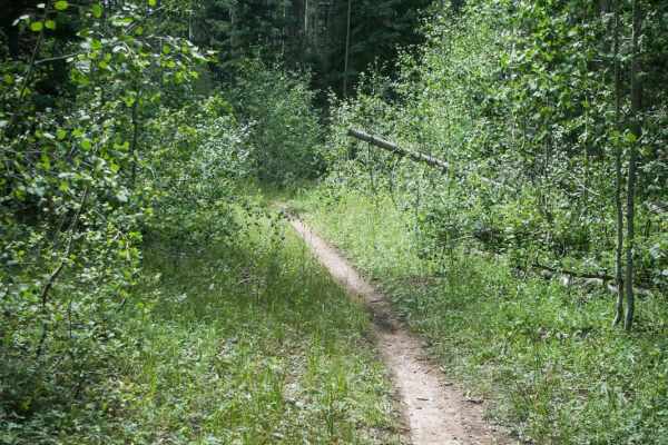
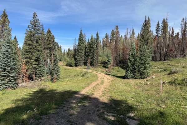
This out-and-back route travels through a heavily forested area filled with tall aspens, mature pines, and thick patches of younger vegetation. The trail surface consists primarily of packed dirt with areas of loose soil, scattered small rocks, and patches of grass growing between the tire tracks. In several sections, the aspens and other vegetation grow close to the route, creating a narrower corridor through the forest. Other portions open up where logging or tree clearing has occurred, with cut and fallen timber visible alongside the trail. The route also follows alongside a fence for a portion of the drive. Toward the end, the forest opens into a larger area that provides plenty of room to turn around and may also offer space for dispersed camping where permitted.
Difficulty
Mostly packed dirt with loose soil, scattered small rocks, and minor uneven sections. The route can become narrow where trees and vegetation encroach on the trail, but there are no major obstacles, ledges, or technical sections. A stock high-clearance 4x4 should have little difficulty under normal conditions.
History
The Taylor Creek and Taylor Mesa area has long served as an access corridor into the western San Juan Mountains. Roads across the mesa have supported ranching, livestock grazing, timber management, hunting and other uses of the surrounding National Forest. Taylor Creek Road remains one of the primary Forest Service access routes onto Taylor Mesa and connects with an extensive network of historic and modern backcountry roads. Below the mesa, the Dolores River valley was also an important transportation corridor. The Rio Grande Southern Railroad once followed portions of this valley between Dolores and Rico, and sections of today's CO-145 were later constructed over or alongside the former railroad grade.