Trail Overview
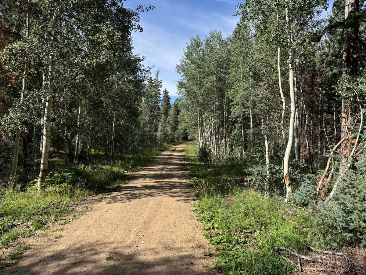
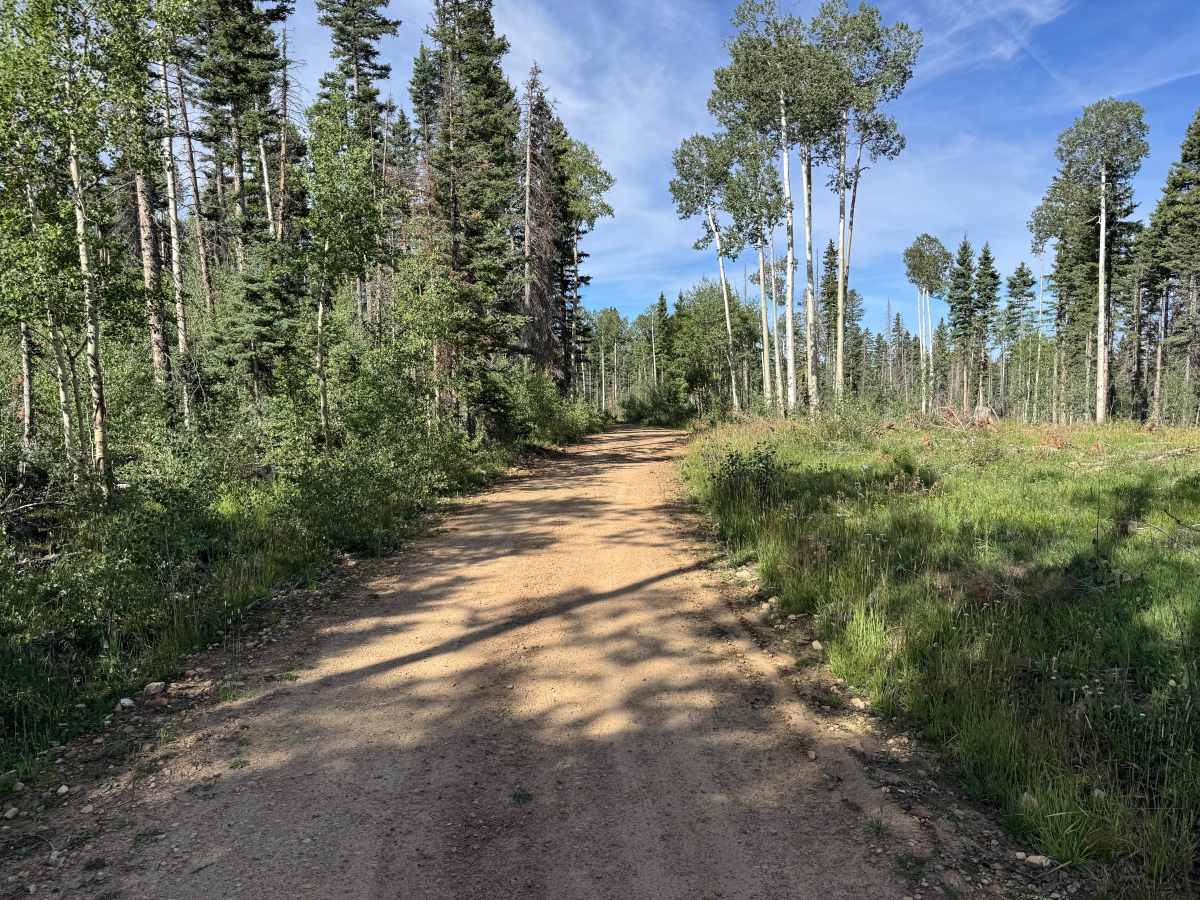
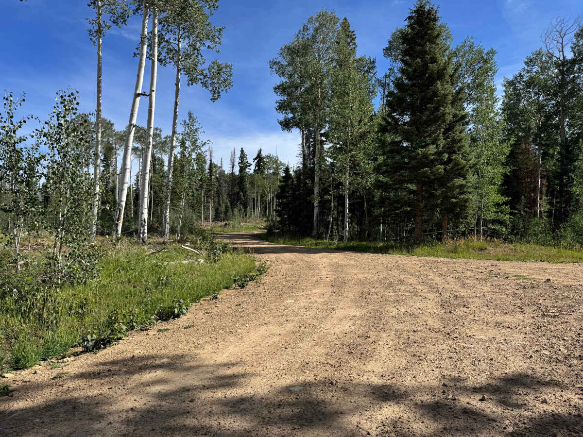
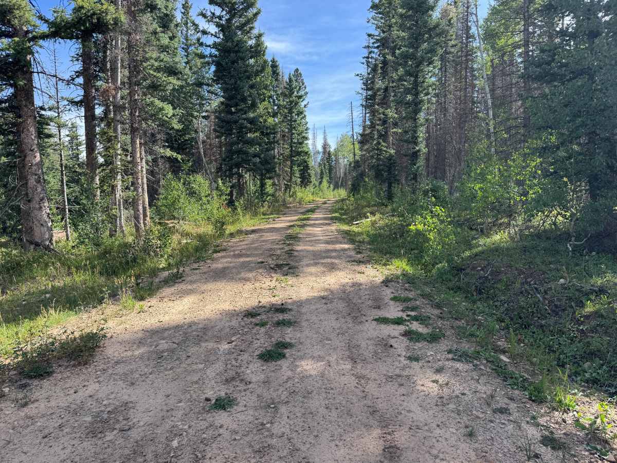
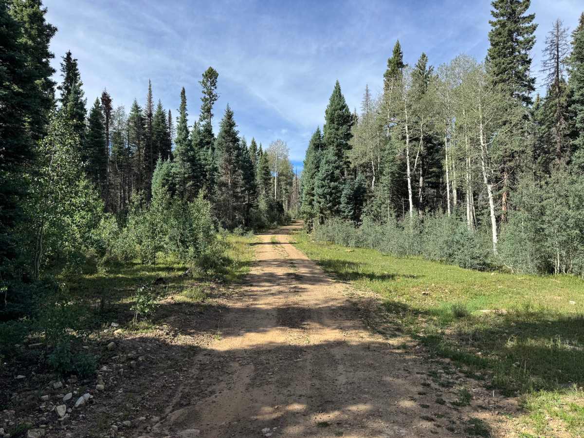
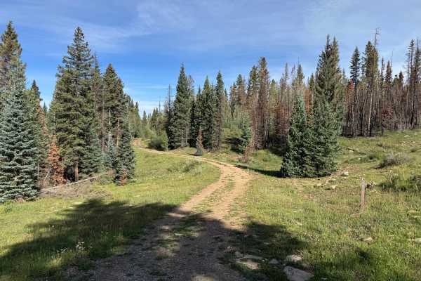
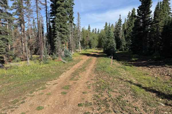
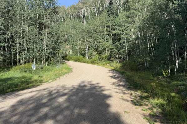
This is an out-and-back trail that travels through a mix of dense forest and older logging areas. The surface consists primarily of packed dirt with scattered gravel and small loose rocks. While generally smooth and easy to travel, there are occasional holes, shallow washouts, and uneven sections that create a slightly bumpy ride. No major obstacles or technical sections were encountered along the route. The surrounding forest is a mixture of thick stands of aspen and evergreens, with grasses and low vegetation lining much of the trail. Several sections pass through previously logged areas where the forest opens considerably, providing wider views across the surrounding terrain. Other portions travel beneath a dense tree canopy, giving the route a varied combination of enclosed forest and large, scenic openings.
Difficulty
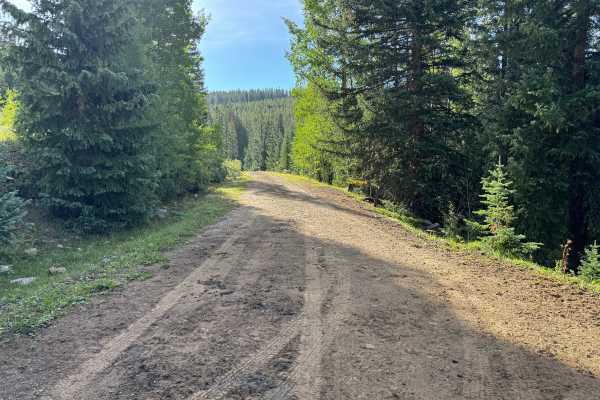
The trail consists primarily of packed dirt with scattered gravel and small loose rocks. Occasional holes, shallow washouts, and uneven sections create a somewhat bumpy surface but do not present significant technical challenges. There are no major ledges, large rocks, deep ruts, or other substantial obstacles along the route. Most of the trail is relatively wide with ample room for tire placement, making it suitable for stock high-clearance vehicles under dry conditions. Wet weather could make the dirt surface softer, muddier, and more susceptible to erosion.
History
The Taylor Creek and Taylor Mesa area has long served as an access corridor into the western San Juan Mountains. Roads across the mesa have supported ranching, livestock grazing, timber management, hunting and other uses of the surrounding National Forest. Taylor Creek Road remains one of the primary Forest Service access routes onto Taylor Mesa and connects with an extensive network of historic and modern backcountry roads. Below the mesa, the Dolores River valley was also an important transportation corridor. The Rio Grande Southern Railroad once followed portions of this valley between Dolores and Rico, and sections of today's CO-145 were later constructed over or alongside the former railroad grade.